Giddy Bridge Plantation
Wood, Forest in Yorkshire Ribble Valley
England
Giddy Bridge Plantation

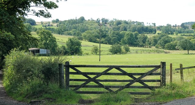
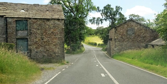
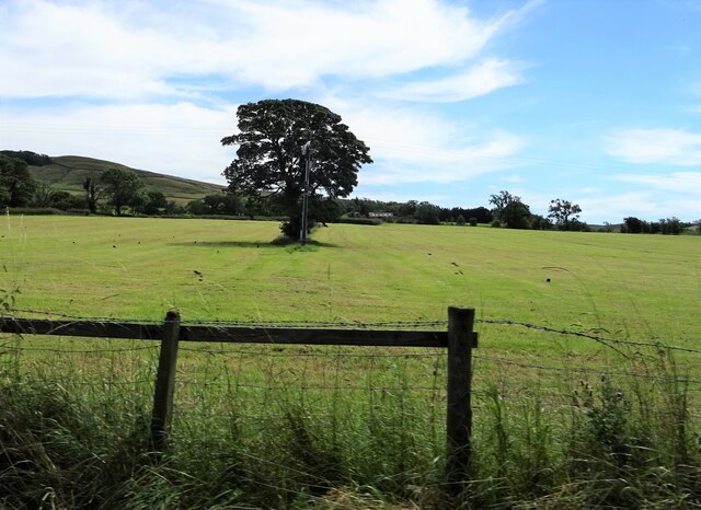
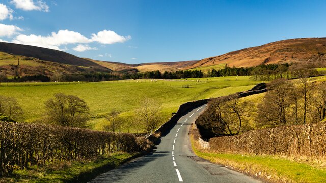
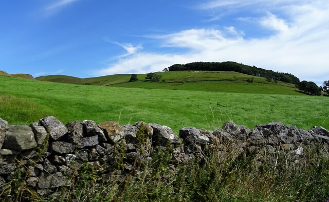
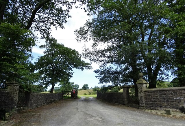
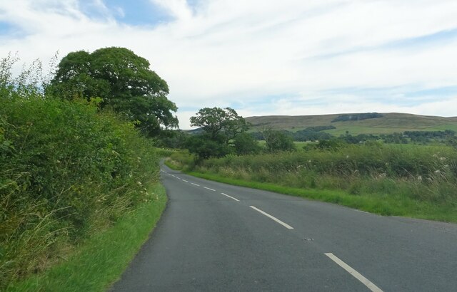
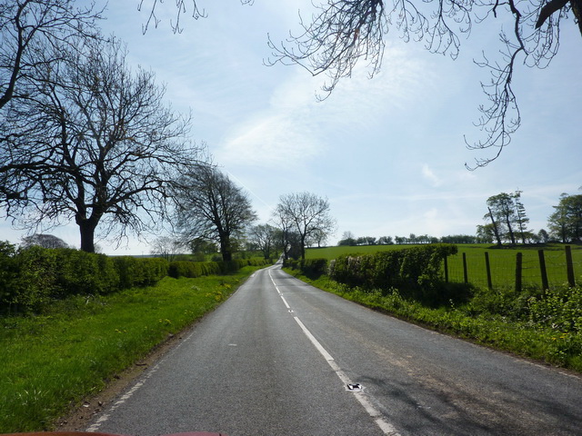
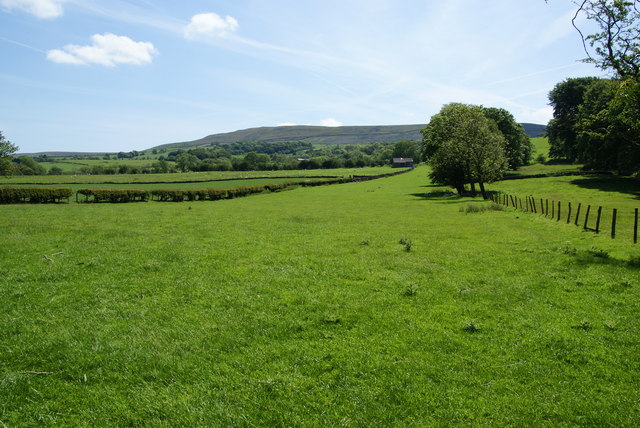
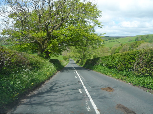
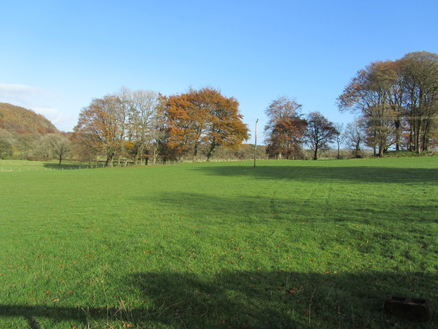
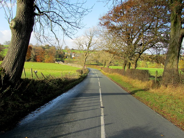
Giddy Bridge Plantation, located in Yorkshire, England, is a picturesque woodland area known for its rich natural beauty and diverse ecosystem. Spanning over a vast expanse of land, the plantation is a haven for nature enthusiasts and a popular destination for outdoor activities.
The plantation is primarily composed of dense forests, consisting of a variety of tree species such as oak, beech, and ash. These towering trees create a canopy that provides shelter and habitat for numerous wildlife species, including birds, squirrels, and deer. The undergrowth is teeming with a wide array of flora, including bluebells, wild garlic, and ferns, adding to the plantation's enchanting ambiance.
Visitors to Giddy Bridge Plantation can indulge in a range of activities suited to the natural surroundings. Hiking and walking trails crisscross the plantation, offering opportunities for exploration and discovery. The peaceful atmosphere also makes it an ideal spot for picnics and relaxation amidst nature. Photography enthusiasts will find endless inspiration in the plantation's scenic beauty, capturing breathtaking shots of the flora and fauna.
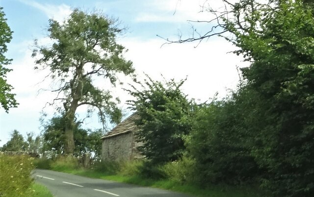
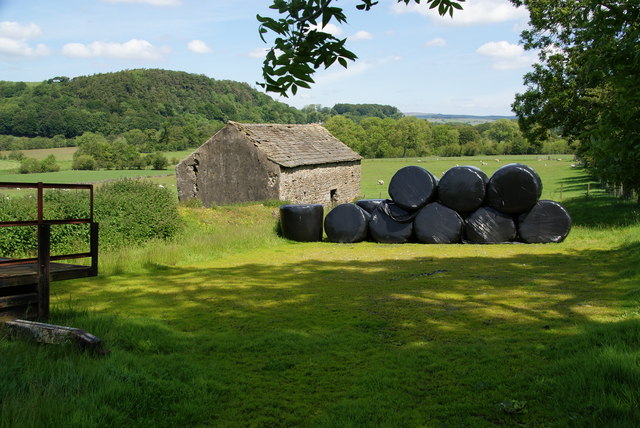
The plantation's history dates back centuries, and remnants of its past can still be found within its boundaries. Old stone walls, remnants of buildings, and even ancient burial mounds serve as reminders of the area's rich historical heritage.
Giddy Bridge Plantation is not only a place of natural wonder but also an important part of the local ecosystem, contributing to the preservation of biodiversity in Yorkshire.
If you have any feedback on the listing, please let us know in the comments section below.
Giddy Bridge Plantation Images
Images are sourced within 2km of 53.940249/-2.4816754 or Grid Reference SD6849. Thanks to Geograph Open Source API. All images are credited.


Giddy Bridge Plantation is located at Grid Ref: SD6849 (Lat: 53.940249, Lng: -2.4816754)
Division: West Riding
Administrative County: Lancashire
District: Ribble Valley
Police Authority: Lancashire
What 3 Words
///answer.cosmic.finally. Near Waddington, Lancashire
Nearby Locations
Related Wikis

Newton-in-Bowland
Newton or Newton-in-Bowland is a village and civil parish in the Ribble Valley district, in the county of Lancashire, England, formerly known as Newton...

River Dunsop
The River Dunsop is a river in the Forest of Bowland in Northern England. It flows into the River Hodder at Dunsop Bridge.It begins at the confluence of...

Langden Brook
Langden Brook is a watercourse in the Trough of Bowland, Lancashire, England. A tributary of the River Hodder, its source is near the summit of Hawthornthwaite...

Dunsop Bridge (structure)
Dunsop Bridge is a bridge in the English village of the same name. The structure, which dates to the early 19th century, crosses the River Dunsop. A Grade...

Bowland Forest High
Bowland Forest High is a civil parish in the Ribble Valley district of Lancashire, England, covering some 20,000 acres (80 km2) of the Forest of Bowland...

Dunsop Bridge
Dunsop Bridge is a village in the civil parish of Bowland Forest High, in the borough of Ribble Valley, Lancashire, England, 9 miles (14 km) north-west...

Bowland Forest High milestone
The Bowland Forest High milestone is an historic milestone marker in the English parish of Bowland Forest High, in the Trough of Bowland, Lancashire. A...

Bowland Rural District
Bowland was a rural district in the West Riding of Yorkshire from 1894 to 1974. It was named after the Forest of Bowland, which it included. It was formed...
Nearby Amenities
Located within 500m of 53.940249,-2.4816754Have you been to Giddy Bridge Plantation?
Leave your review of Giddy Bridge Plantation below (or comments, questions and feedback).