Edith Wood
Wood, Forest in Yorkshire Ribble Valley
England
Edith Wood

Edith Wood, Yorkshire, also known as Wood or Forest, is a picturesque village located in the county of Yorkshire, England. Nestled amidst the stunning landscape of the Yorkshire Dales, Edith Wood is renowned for its natural beauty and tranquil atmosphere.
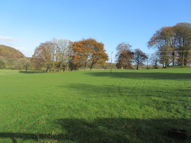
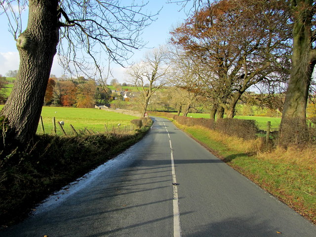
The village is characterized by its dense woodland, which spans over several acres and provides a haven for a diverse range of flora and fauna. Towering oak trees, beech trees, and various species of conifers dominate the landscape, creating a serene and idyllic environment for residents and visitors alike.
Edith Wood is home to a close-knit community that takes great pride in preserving the village's rich history and heritage. The village dates back to medieval times, and remnants of its past can still be seen in the form of charming stone cottages, a historic church, and other architectural features.
The village offers a range of amenities, including a local school, a community center, and a small selection of shops and cafes. Residents enjoy a peaceful lifestyle, surrounded by the beauty of nature, and often partake in activities such as hiking, birdwatching, and cycling in the nearby countryside.
For those seeking a retreat from the hustle and bustle of city life, Edith Wood provides the perfect escape. With its enchanting woodland, friendly community, and stunning scenery, this village in Yorkshire is truly a hidden gem waiting to be explored.
If you have any feedback on the listing, please let us know in the comments section below.
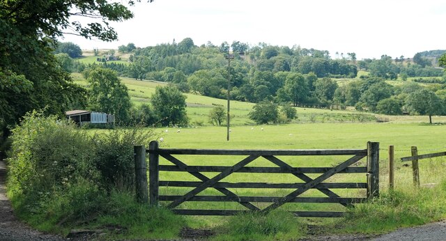
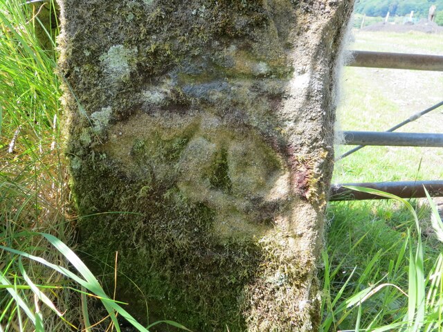
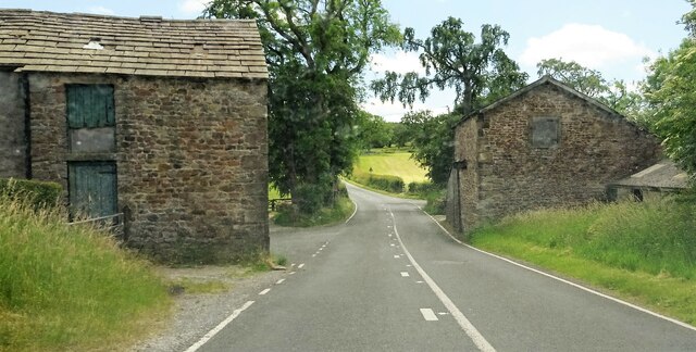
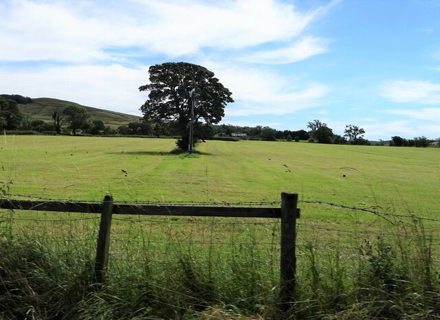
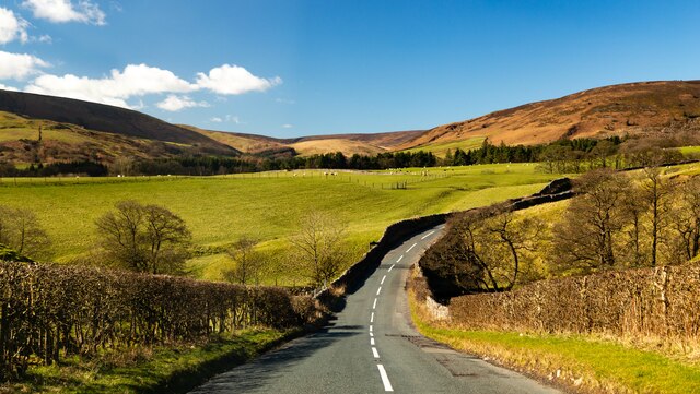
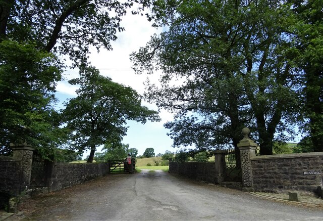
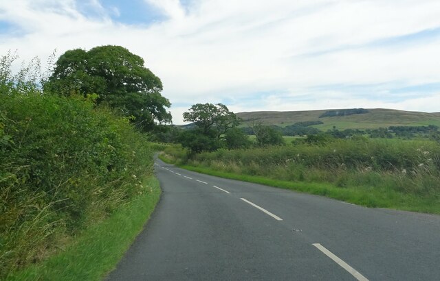
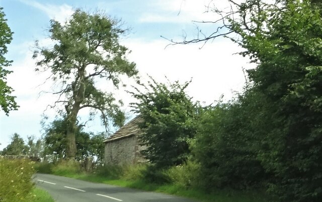
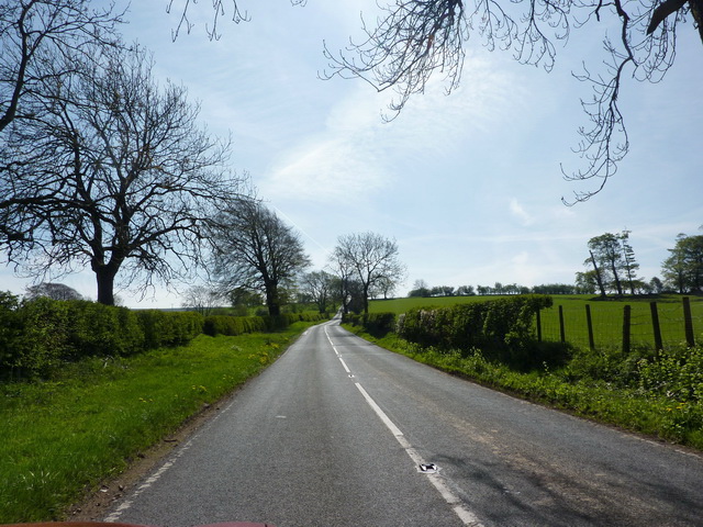
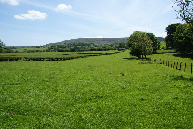
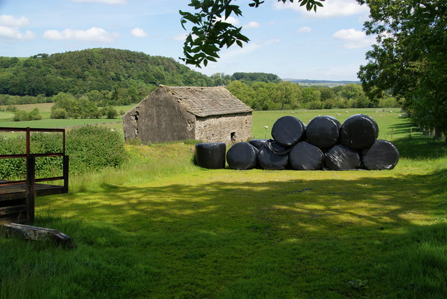
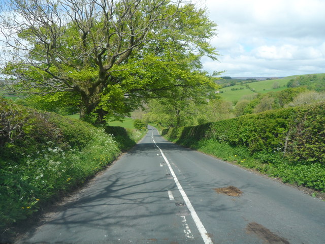
Edith Wood Images
Images are sourced within 2km of 53.938072/-2.4799138 or Grid Reference SD6849. Thanks to Geograph Open Source API. All images are credited.


Edith Wood is located at Grid Ref: SD6849 (Lat: 53.938072, Lng: -2.4799138)
Division: West Riding
Administrative County: Lancashire
District: Ribble Valley
Police Authority: Lancashire
What 3 Words
///cheered.intruded.reprints. Near Waddington, Lancashire
Nearby Locations
Related Wikis

Newton-in-Bowland
Newton or Newton-in-Bowland is a village and civil parish in the Ribble Valley district, in the county of Lancashire, England, formerly known as Newton...

River Dunsop
The River Dunsop is a river in the Forest of Bowland in Northern England. It flows into the River Hodder at Dunsop Bridge.It begins at the confluence of...

Langden Brook
Langden Brook is a watercourse in the Trough of Bowland, Lancashire, England. A tributary of the River Hodder, its source is near the summit of Hawthornthwaite...

Dunsop Bridge (structure)
Dunsop Bridge is a bridge in the English village of the same name. The structure, which dates to the early 19th century, crosses the River Dunsop. A Grade...

Bowland Forest High
Bowland Forest High is a civil parish in the Ribble Valley district of Lancashire, England, covering some 20,000 acres (80 km2) of the Forest of Bowland...

Dunsop Bridge
Dunsop Bridge is a village in the civil parish of Bowland Forest High, in the borough of Ribble Valley, Lancashire, England, 9 miles (14 km) north-west...

Bowland Rural District
Bowland was a rural district in the West Riding of Yorkshire from 1894 to 1974. It was named after the Forest of Bowland, which it included. It was formed...

Bowland Forest High milestone
The Bowland Forest High milestone is an historic milestone marker in the English parish of Bowland Forest High, in the Trough of Bowland, Lancashire. A...
Nearby Amenities
Located within 500m of 53.938072,-2.4799138Have you been to Edith Wood?
Leave your review of Edith Wood below (or comments, questions and feedback).