Crow Wood
Wood, Forest in Yorkshire Ribble Valley
England
Crow Wood

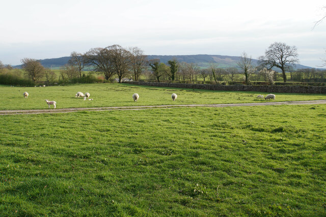
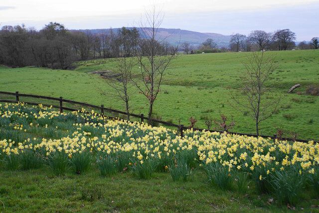
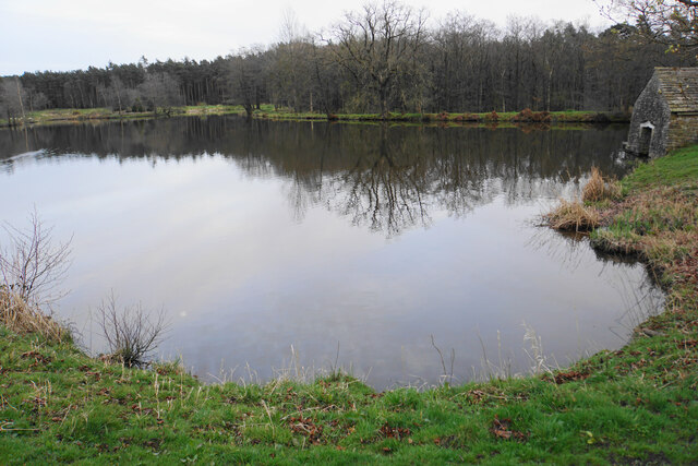
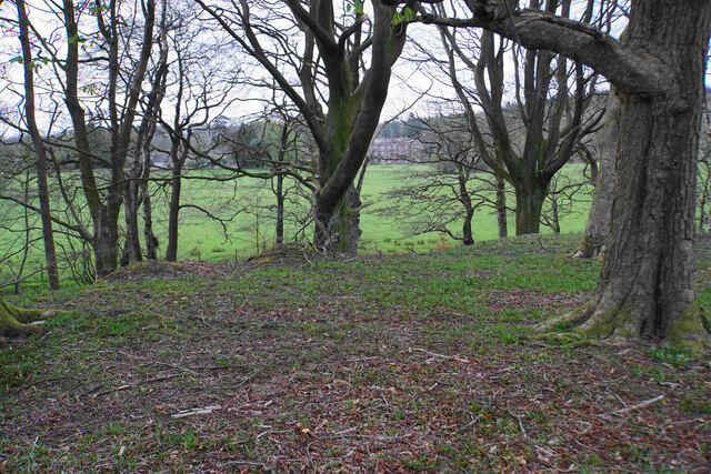
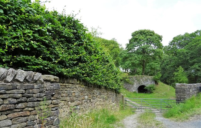
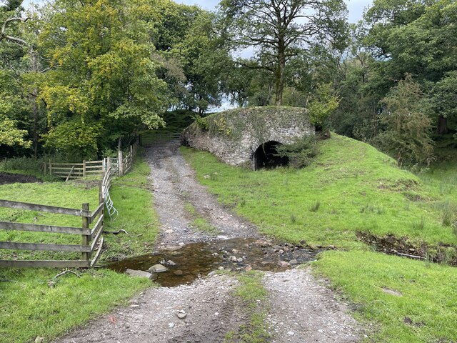
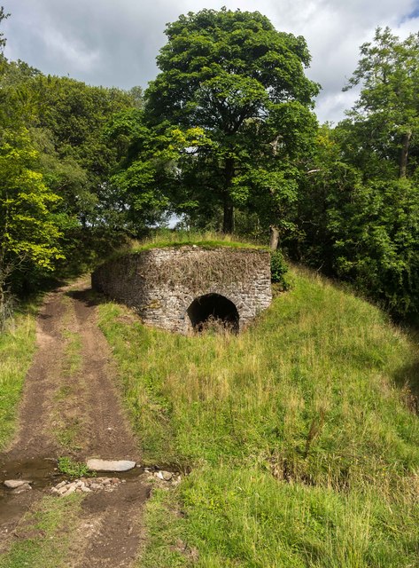
Crow Wood is a picturesque woodland located in the county of Yorkshire, England. Covering an area of approximately 500 acres, it is nestled within the rolling hills and valleys of the region. The wood is predominantly composed of dense, mature trees and is home to a diverse range of flora and fauna.
The wood boasts a rich history, with evidence of human habitation dating back thousands of years. Archaeological finds suggest that the area was inhabited during the Neolithic period, and remnants of ancient structures have been discovered within its boundaries. Crow Wood has also played a role in more recent history, serving as a source of timber during the industrial revolution.
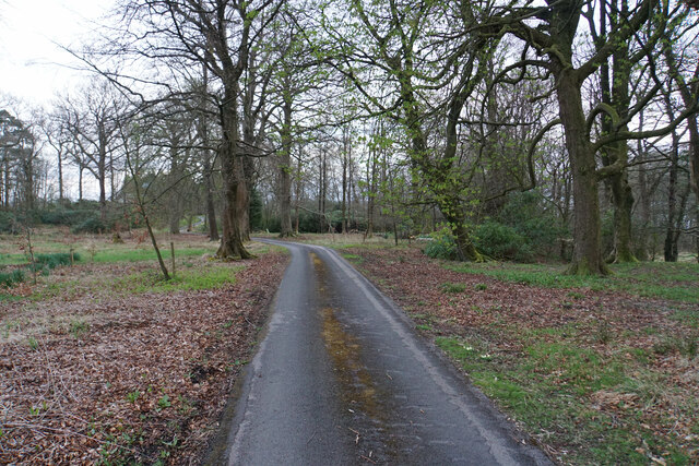
The woodland is a haven for nature enthusiasts and offers a variety of walking trails for visitors to explore. These trails wind through the wood, providing opportunities to admire the towering trees, listen to the melodic songs of the birds, and catch glimpses of elusive wildlife such as deer, foxes, and badgers.
In addition to its natural beauty, Crow Wood is also a site of ecological importance. The wood is home to a wide array of plant species, including rare and protected varieties. It provides a vital habitat for a range of woodland creatures and supports a healthy ecosystem.
Crow Wood is a popular destination for locals and tourists alike, offering a tranquil escape from the hustle and bustle of everyday life. Its serene atmosphere, combined with its historical and ecological significance, makes it a truly special place in the heart of Yorkshire.
If you have any feedback on the listing, please let us know in the comments section below.
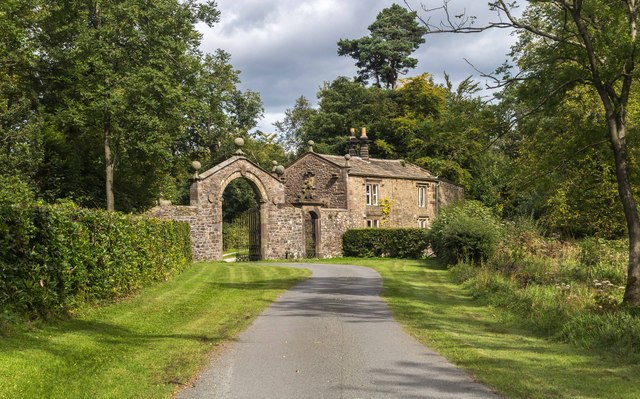
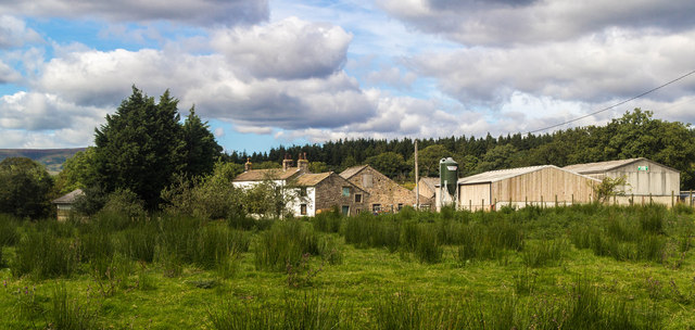
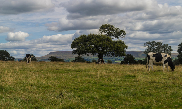
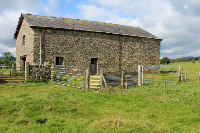
Crow Wood Images
Images are sourced within 2km of 53.904416/-2.4812324 or Grid Reference SD6845. Thanks to Geograph Open Source API. All images are credited.

Crow Wood is located at Grid Ref: SD6845 (Lat: 53.904416, Lng: -2.4812324)
Division: West Riding
Administrative County: Lancashire
District: Ribble Valley
Police Authority: Lancashire
What 3 Words
///cheetahs.february.washable. Near Waddington, Lancashire
Nearby Locations
Related Wikis

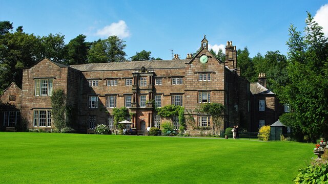
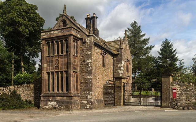
Browsholme Hall
Browsholme Hall is a privately owned Tudor house in the parish of Bowland Forest Low in the borough of Ribble Valley, Lancashire (although historically...

Bowland Forest Low
Bowland Forest Low is a civil parish in the Ribble Valley district of Lancashire, England, covering some 5,500 acres (22 km2) of the Forest of Bowland...

Bowland Rural District
Bowland was a rural district in the West Riding of Yorkshire from 1894 to 1974. It was named after the Forest of Bowland, which it included. It was formed...

Cow Ark Farmhouse
Cow Ark Farmhouse is a historic building in the English parish of Bowland Forest Low, Lancashire. It is Grade II listed, built around 1780, and is a sandstone...

Higher Lees Farmhouse
Higher Lees Farmhouse is an historic building in the English parish of Bowland Forest Low, Lancashire. It is Grade II listed, built around 1780, and is...

Bashall Eaves
Bashall Eaves is a village and civil parish in the Ribble Valley district of Lancashire, England, about four miles (6 km) west of Clitheroe. The placename...

Whitewell Hotel
Whitewell Hotel is an historic building in the English parish of Bowland Forest Low, Lancashire. It is Grade II listed, built in 1836, and is in sandstone...

Whitewell
Whitewell is a village within the civil parish of Bowland Forest Low and Ribble Valley borough of Lancashire, England. It is in the Forest of Bowland Area...
Nearby Amenities
Located within 500m of 53.904416,-2.4812324Have you been to Crow Wood?
Leave your review of Crow Wood below (or comments, questions and feedback).