Mildron Copse

Wood, Forest in Dorset

England

Mildron Copse

Benchmark on cottage, Alton Pancras Ordnance Survey benchmark on cottage in Alton Pancras, described on database at <span class="nowrap"><a title="http://www.bench-marks.org.uk/bm69121" rel="nofollow ugc noopener" href="http://www.bench-marks.org.uk/bm69121">Link</a><img style="margin-left:2px;" alt="External link" title="External link - shift click to open in new window" src="https://s1.geograph.org.uk/img/external.png" width="10" height="10"/></span>.
Benchmark on cottage, Alton Pancras Credit: Becky Williamson

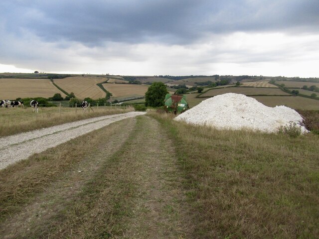
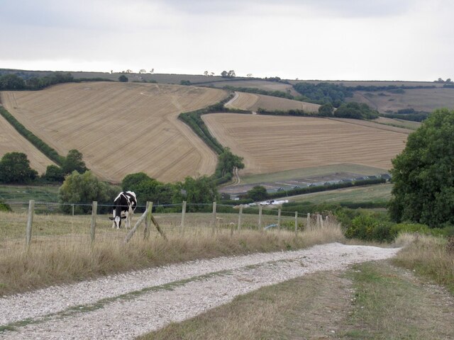
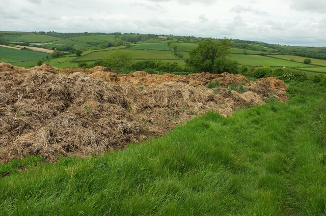
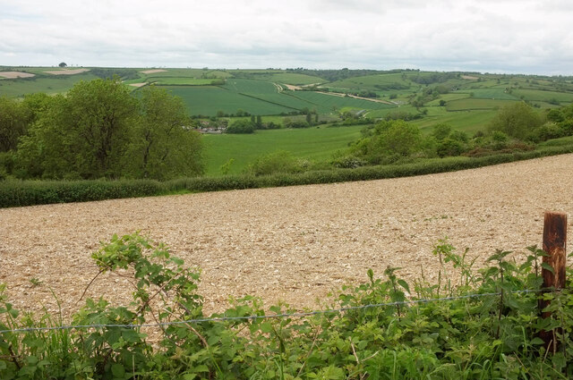
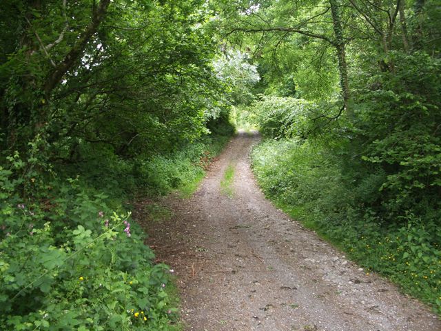
Mildron Copse, located in Dorset, England, is a picturesque woodland area that spans across a vast expanse of approximately 200 acres. This beautiful copse is renowned for its tranquil and serene atmosphere, making it a popular destination among nature enthusiasts and those seeking a peaceful retreat.

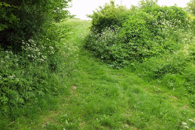
The copse is predominantly composed of a variety of deciduous trees, including oak, beech, and ash, which create a stunning canopy of foliage during the spring and summer months. The forest floor is adorned with a carpet of bluebells, ferns, and wildflowers, adding to the copse's charm and natural allure.

Mildron Copse is home to an abundance of wildlife, making it a haven for birdwatchers and animal lovers. Visitors may catch glimpses of native species such as deer, badgers, foxes, and a wide array of bird species, including woodpeckers, owls, and finches.

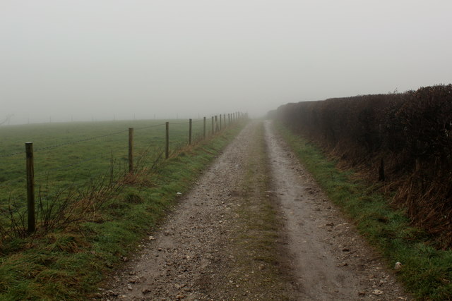
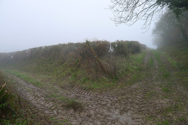
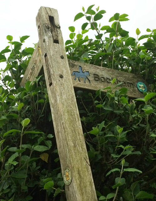
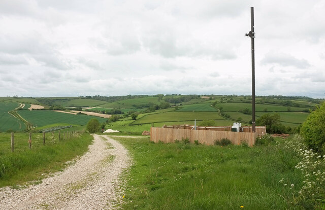
The copse is crisscrossed by a network of well-maintained footpaths, allowing visitors to explore its beauty at their own pace. These winding trails lead visitors through various sections of the copse, each offering a unique perspective and showcasing the copse's diverse ecosystem.

Mildron Copse also provides a range of recreational activities, including picnicking, hiking, and photography. Many visitors take advantage of the copse's tranquil surroundings to indulge in peaceful walks, immersing themselves in the beauty of nature.

Overall, Mildron Copse in Dorset is a remarkable woodland area that offers visitors a chance to escape the hustle and bustle of everyday life and immerse themselves in the wonders of nature.

If you have any feedback on the listing, please let us know in the comments section below.

Mildron Copse Images

Images are sourced within 2km of 50.829625/-2.4501942 or Grid Reference ST6803. Thanks to Geograph Open Source API. All images are credited.

Benchmark on cottage, Alton Pancras Ordnance Survey benchmark on cottage in Alton Pancras, described on database at <span class="nowrap"><a title="http://www.bench-marks.org.uk/bm69121" rel="nofollow ugc noopener" href="http://www.bench-marks.org.uk/bm69121">Link</a><img style="margin-left:2px;" alt="External link" title="External link - shift click to open in new window" src="https://s1.geograph.org.uk/img/external.png" width="10" height="10"/></span>.
Benchmark on cottage, Alton Pancras
Ordnance Survey benchmark on cottage in Alton Pancras, described on database at LinkExternal link.
Wessex Ridgeway on the Western Flanks of Church Hill A misty scene on the chalk ridge of Church Hill
Wessex Ridgeway on the Western Flanks of Church Hill
A misty scene on the chalk ridge of Church Hill
Stall waste dumped on Church Hill Hopefully for later dispersal on the land, without leaching of nitrates into the underlying chalk
Stall waste dumped on Church Hill
Hopefully for later dispersal on the land, without leaching of nitrates into the underlying chalk
The Hardy Way to Henley (left) and White Way (ahead) Neither of them the Wessex Ridgeway path I'm trying to follow
The Hardy Way to Henley (left) and White Way (ahead)
Neither of them the Wessex Ridgeway path I'm trying to follow
A pile of chalk On the descent of Ball Hill/Church Hill above Barcombe Farm.
A pile of chalk
On the descent of Ball Hill/Church Hill above Barcombe Farm.
Road off Church Hill
Crowthorne Lane Note how much more overgrown the green lane has become uphill of the gateway from where <a href="https://www.geograph.org.uk/photo/7584621">ST6903 : Field by Hardy Way</a> was taken. The Hardy Way continues to follow footpath S10 31.
Crowthorne Lane
Note how much more overgrown the green lane has become uphill of the gateway from where ST6903 : Field by Hardy Way was taken. The Hardy Way continues to follow footpath S10 31.
Crowthorne Lane The Hardy Way and footpath S10 31 follow the green lane around a couple of bends down towards Henley, some of which can be seen in the distance.
Crowthorne Lane
The Hardy Way and footpath S10 31 follow the green lane around a couple of bends down towards Henley, some of which can be seen in the distance.
Waymarks, Hardy Way The lower waymark containing the usual yellow arrow has the following around the edge: "Countryside Activity Trail - Picture Trek". The arm of the signpost pointing towards Bookham has a Wessex Ridgeway waymark but contains a footprint instead of the Wessex wyvern, and my map doesn't show the ridgeway LDP going that way. And is that the Hardy Way waymark at the end of the Henley arm? If so, it's well hidden.
Waymarks, Hardy Way
The lower waymark containing the usual yellow arrow has the following around the edge: "Countryside Activity Trail - Picture Trek". The arm of the signpost pointing towards Bookham has a Wessex Ridgeway waymark but contains a footprint instead of the Wessex wyvern, and my map doesn't show the ridgeway LDP going that way. And is that the Hardy Way waymark at the end of the Henley arm? If so, it's well hidden.
Wessex Ridgeway towards Alton Pancras The LDP follows bridleway S5 1, through a hedge at the same junction where <a href="https://www.geograph.org.uk/photo/7584998">ST7003 : Waymarks, Hardy Way</a> was taken.
Wessex Ridgeway towards Alton Pancras
The LDP follows bridleway S5 1, through a hedge at the same junction where ST7003 : Waymarks, Hardy Way was taken.
Manure heap by the Hardy Way Doubtless a sight and smell familiar to the novelist, this expansive heap fills the triangular corner of a field on Church Hill bounded by bridleways.
Manure heap by the Hardy Way
Doubtless a sight and smell familiar to the novelist, this expansive heap fills the triangular corner of a field on Church Hill bounded by bridleways.
Bridleway junction, Church Hill On the right, the Hardy Way and the Wessex Ridgeway follow bridleway S5 2 by the hedge. Those on the Wessex Ridgeway could use bridleway S5 3 on the left, and safe a few metres, although the mapped course keeps to the right of the track, taking you through the manure heap seen in <a href="https://www.geograph.org.uk/photo/7585173">ST7003 : Manure heap by the Hardy Way</a> - and you need to leave the track to follow bridleway S5 1 through the hedge to pass the large tree. I should be able to tell you what the equipment and pole within the fence are all about, but I have no idea.
Bridleway junction, Church Hill
On the right, the Hardy Way and the Wessex Ridgeway follow bridleway S5 2 by the hedge. Those on the Wessex Ridgeway could use bridleway S5 3 on the left, and safe a few metres, although the mapped course keeps to the right of the track, taking you through the manure heap seen in ST7003 : Manure heap by the Hardy Way - and you need to leave the track to follow bridleway S5 1 through the hedge to pass the large tree. I should be able to tell you what the equipment and pole within the fence are all about, but I have no idea.
Piddle valley around Barcombe Farm Seen from the Hardy Way past Penny Farthing Wood (left).
Piddle valley around Barcombe Farm
Seen from the Hardy Way past Penny Farthing Wood (left).
Alton Pancras: the old post office This attractive cottage was the village post office until its closure in 1977. There had been a post office in the village since 1886, although it was named plain Alton until October 1908.

A reminder of the former function of the cottage survives in the form of a 'Ludlow' postbox towards the far end - see <a href="https://www.geograph.org.uk/photo/3759905">ST7002 : Alton Pancras: private postbox at the old post office</a> for a close-up.
Alton Pancras: the old post office
This attractive cottage was the village post office until its closure in 1977. There had been a post office in the village since 1886, although it was named plain Alton until October 1908. A reminder of the former function of the cottage survives in the form of a 'Ludlow' postbox towards the far end - see ST7002 : Alton Pancras: private postbox at the old post office for a close-up.
Alton Pancras: private postbox at the old post office This old postbox is in the wall of <a href="https://www.geograph.org.uk/photo/3759894">ST7002 : Alton Pancras: the old post office</a> and remains in use as a letterbox for the cottage's incoming mail. It is a 'Ludlow' box, a design named after its designer and intended specifically for use at sub-post offices, often incorporated within a window or, as here, wall. It would originally have had an enamel plate on the large central rectangle. See <a href="https://www.geograph.org.uk/photo/673105">NY8545 : George V "Ludlow" postbox at the Allenheads Heritage Centre (2008)</a> for a similar example still in use.
Alton Pancras: private postbox at the old post office
This old postbox is in the wall of ST7002 : Alton Pancras: the old post office and remains in use as a letterbox for the cottage's incoming mail. It is a 'Ludlow' box, a design named after its designer and intended specifically for use at sub-post offices, often incorporated within a window or, as here, wall. It would originally have had an enamel plate on the large central rectangle. See NY8545 : George V "Ludlow" postbox at the Allenheads Heritage Centre (2008) for a similar example still in use.
Minterne Parva, camp site Giants Head Caravan & Camping Park. <span class="nowrap"><a title="http://www.giantshead.co.uk/" rel="nofollow ugc noopener" href="http://www.giantshead.co.uk/">Link</a><img style="margin-left:2px;" alt="External link" title="External link - shift click to open in new window" src="https://s1.geograph.org.uk/img/external.png" width="10" height="10"/></span>
Minterne Parva, camp site
Giants Head Caravan & Camping Park. LinkExternal link
Minterne Parva, Old Sherborne Road The earlier route from Dorchester to Sherborne, meeting the roughly parallel A352 at Middlemarsh; often less busy than its neighbour, and enjoying good views down into the neighbouring valleys.
Minterne Parva, Old Sherborne Road
The earlier route from Dorchester to Sherborne, meeting the roughly parallel A352 at Middlemarsh; often less busy than its neighbour, and enjoying good views down into the neighbouring valleys.
Park Pale: the start of the ancient track to Dogbury Gate on Little Minterne Hill
Show me another place!

Mildron Copse is located at Grid Ref: ST6803 (Lat: 50.829625, Lng: -2.4501942)

Unitary Authority: Dorset

Police Authority: Dorset

What 3 Words

///passively.baked.decorated. Near Maiden Newton, Dorset

Nearby Locations

Mildron Copse

Related Wikis

Watts Hill

Watts Hill is a hill in the Dorset Downs and one of the highest in the county of Dorset, England. The height of the summit is variously recorded as 261...

Woolford's Water

Woolford's Water is a village in Dorset, England.

Alton Pancras

Alton Pancras is a small village and civil parish in Dorset, England. In the 2011 census the civil parish had a population of 175. The village church is...
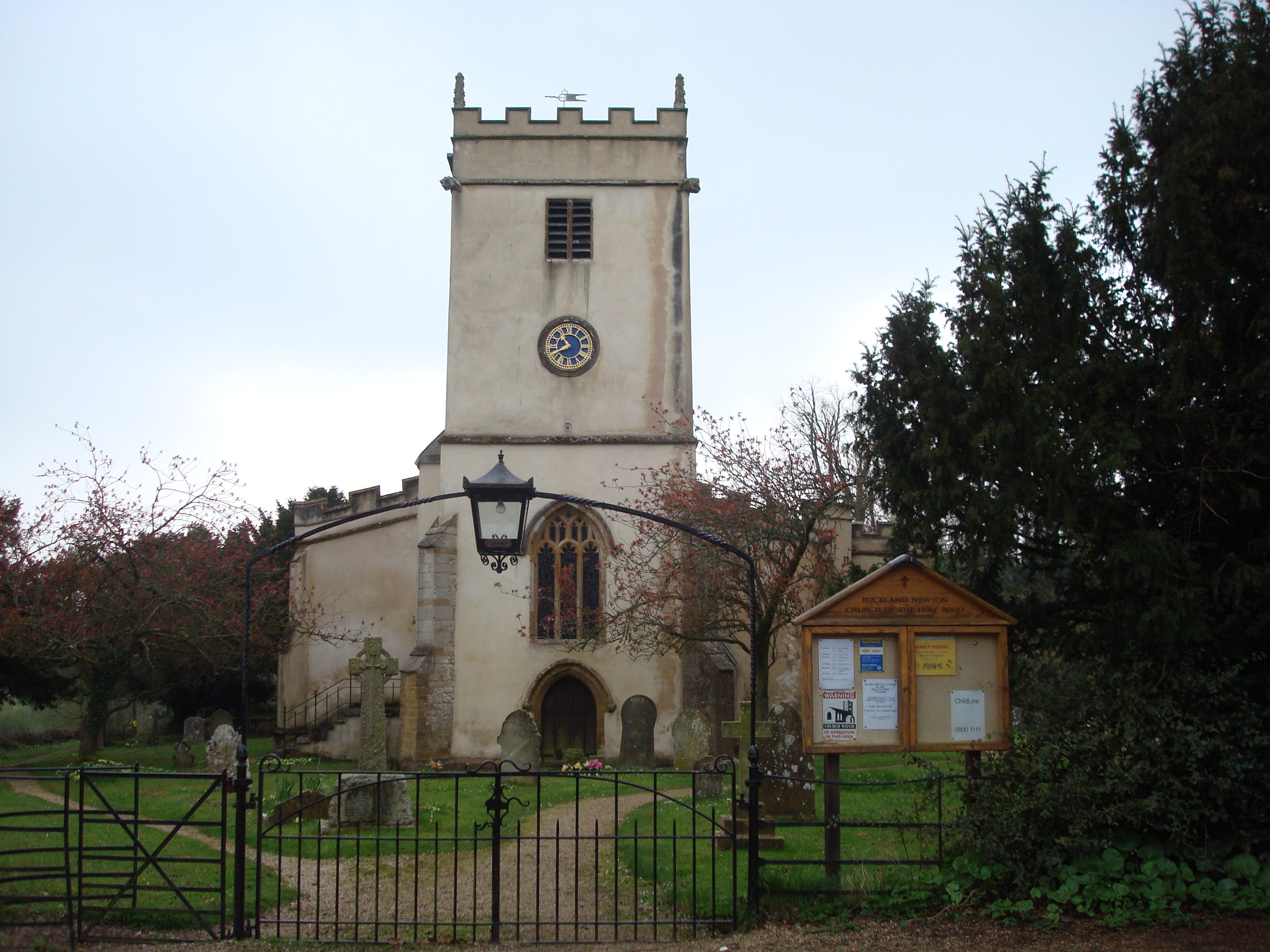
Buckland Newton

Buckland Newton is a village and civil parish in Dorset, England. It is situated beneath the scarp slope of the Dorset Downs, 7+1⁄2 miles (12.1 km) south...

Nearby Amenities

Located within 500m of 50.829625,-2.4501942
The data included in this document is from www.openstreetmap.org. The data is made available under ODbL.

Have you been to Mildron Copse?

Leave your review of Mildron Copse below (or comments, questions and feedback).