Meeting Brae

Wood, Forest in Northumberland

England

Meeting Brae

Gravel road near Churnsike Lodge
Gravel road near Churnsike Lodge Credit: Steven Brown

Meeting Brae is a charming woodland area located in Northumberland, England. Situated in the heart of the county, it is renowned for its tranquil and picturesque surroundings. The wood is nestled within the vast Northumberland National Park, offering visitors a unique experience immersed in nature.

The dense forest of Meeting Brae is predominantly composed of ancient oak and beech trees, creating a rich and diverse ecosystem. The woodland floor is adorned with a carpet of vibrant wildflowers, adding to the area's natural beauty. The air is filled with the soothing sounds of chirping birds and rustling leaves, providing a peaceful ambiance for those seeking solitude or relaxation.

The wood is crisscrossed by a network of well-maintained footpaths, allowing visitors to explore and discover the hidden gems within. A variety of wildlife can be spotted, including deer, squirrels, and a plethora of bird species. The area is a haven for nature enthusiasts and photographers, providing ample opportunities to capture the beauty of the natural world.

Meeting Brae is not only a place of natural beauty but also holds historical significance. It is believed to have been used as a meeting place for local communities in ancient times, hence its name. The area is dotted with remnants of old stone structures, adding a sense of mystique and intrigue to the wood.

Whether it is for a leisurely stroll, a picnic, or simply to connect with nature, Meeting Brae offers a serene and unforgettable experience. With its breathtaking landscapes and rich biodiversity, it is a true gem of Northumberland.

If you have any feedback on the listing, please let us know in the comments section below.

Meeting Brae Images

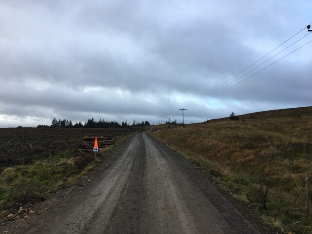
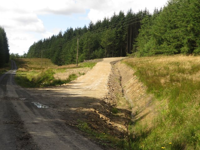
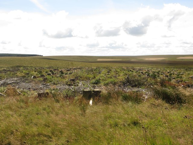
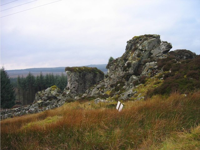
Images are sourced within 2km of 55.094898/-2.4968749 or Grid Reference NY6877. Thanks to Geograph Open Source API. All images are credited.

Gravel road near Churnsike Lodge
Forestry road towards Churnsike Lodge
Young trees, Wark Forest A newly replanted area of forest in Wark Forest. Further behind is a mature area of trees.
Young trees, Wark Forest
A newly replanted area of forest in Wark Forest. Further behind is a mature area of trees.
Forest track, Wark Forest A forest track in Wark Forest, a large Forestry Commission owned commercial forest.
Forest track, Wark Forest
A forest track in Wark Forest, a large Forestry Commission owned commercial forest.
Trees, Wark Forest Some of the trees beside a forest track in Wark Forest.
Trees, Wark Forest
Some of the trees beside a forest track in Wark Forest.
Forest track junction, Wark Forest A junction between forest tracks in Wark Forest.
Forest track junction, Wark Forest
A junction between forest tracks in Wark Forest.
Forest track, Wark Forest A forest track which is used to access the house at Whitehill.
Forest track, Wark Forest
A forest track which is used to access the house at Whitehill.
Churn Sike, Wark Forest A small stream crossing the forest track close to its confluence with the River Irthing.
Churn Sike, Wark Forest
A small stream crossing the forest track close to its confluence with the River Irthing.
The River Irthing Looking up the small valley of the River Irthing.
The River Irthing
Looking up the small valley of the River Irthing.
The River Irthing The River Irthing, flowing close to the edge of a block of trees of Wark Forest.
The River Irthing
The River Irthing, flowing close to the edge of a block of trees of Wark Forest.
New track, Wark Forest A new track constructed to provide plant access to a block of trees in Wark Forest which are soon to be clear felled.
New track, Wark Forest
A new track constructed to provide plant access to a block of trees in Wark Forest which are soon to be clear felled.
Clear felled plantation, Wark Forest A large area of clear felled trees in Wark Forest. The stumps and brash still remain on the ground.
Clear felled plantation, Wark Forest
A large area of clear felled trees in Wark Forest. The stumps and brash still remain on the ground.
Muckle Samuel's Crags View of <a href="https://www.geograph.org.uk/photo/528552">NY6878 : Muckle Samuel's Crags</a> seen from Birky Shank.
Muckle Samuel's Crags
View of NY6878 : Muckle Samuel's Crags seen from Birky Shank.
Muckle Samuel's Crags
Forest Road entering Timber Felling Area
River Irthing from Stony Gate
River Irthing and Tudhups Holme
Disused Quarry Disused quarry near Muckle Gowany Knowe in Wark Forest.
Disused Quarry
Disused quarry near Muckle Gowany Knowe in Wark Forest.
Show me another place!

Meeting Brae is located at Grid Ref: NY6877 (Lat: 55.094898, Lng: -2.4968749)

Unitary Authority: Northumberland

Police Authority: Northumbria

What 3 Words

///deeds.alive.names. Near Haltwhistle, Northumberland

Nearby Locations

Meeting Brae

Related Wikis

Churnsike Lodge

Churnsike Lodge is an early Victorian hunting lodge situated in the parish of Greystead, West Northumberland, England. Constructed in 1850 by the Charlton...

Wark Forest

Wark Forest is the southern part of Kielder Forest in Northumberland, England. Wark Forest is found within the south-west tip of Northumberland National...

Sighty Crag

Sighty Crag is a hill in the southern part of the Kielder Forest region in northern England, a region which also includes its fellow Marilyns of Peel Fell...

Kielder Water

Kielder Water is a large man-made reservoir in Northumberland in North East England. It is the largest artificial lake in the United Kingdom by capacity...

Nearby Amenities

Located within 500m of 55.094898,-2.4968749
Whitehill
Place: locality
Lat/Long: 55.091774/-2.5014733
Meeting Brae
Place: locality
Lat/Long: 55.0956836/-2.4960146
Power: pole
Lat/Long: 55.0988246/-2.5001039
Power: pole
Lat/Long: 55.0982506/-2.5005652
Power: pole
Lat/Long: 55.0976997/-2.5010158
Power: pole
Lat/Long: 55.0969619/-2.5010819
Power: pole
Lat/Long: 55.0946724/-2.5012049
Power: pole
Lat/Long: 55.0939387/-2.5012747
Power: pole
Lat/Long: 55.0935827/-2.5025058
Power: pole
Lat/Long: 55.0932128/-2.5037691
Power: pole
Lat/Long: 55.0954426/-2.5011852
Power: pole
Lat/Long: 55.0961945/-2.5011163
The data included in this document is from www.openstreetmap.org. The data is made available under ODbL.

Have you been to Meeting Brae?

Leave your review of Meeting Brae below (or comments, questions and feedback).