Hill Plantation

Wood, Forest in Dorset

England

Hill Plantation

Bridleway, Piddletrenthide Bridleway S36 25 runs parallel to the River Piddle, here about 70 metres to the left.
Bridleway, Piddletrenthide Credit: Derek Harper

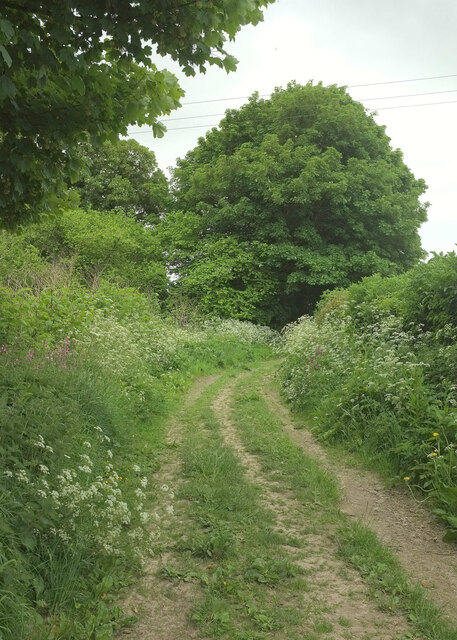
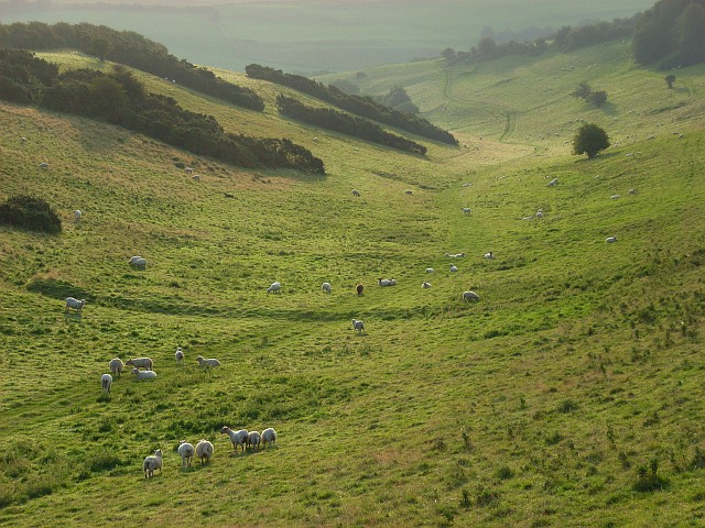
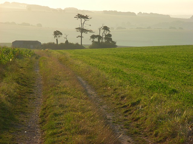
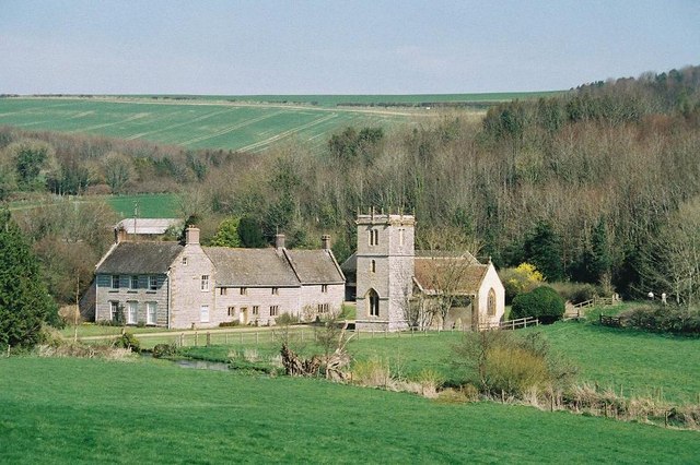
Hill Plantation is a picturesque woodland area located in the county of Dorset, England. Situated on the slopes of a gentle hill, the plantation spans over a vast area of approximately 500 acres. It is nestled amidst the beautiful Dorset countryside, surrounded by rolling hills and lush green fields.

The plantation is predominantly composed of tall and majestic oak trees, although there is also a diverse range of other tree species present, including beech, ash, and birch. The woodland floor is covered in a thick carpet of moss, creating a serene and tranquil atmosphere.

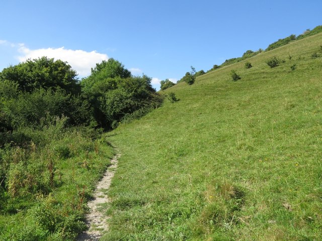
One of the notable features of Hill Plantation is its well-maintained network of walking trails, which meander through the woods, providing visitors with the opportunity to explore and appreciate the natural beauty of the area. These trails offer a variety of terrains, from gentle slopes to steeper inclines, catering to different levels of fitness and hiking abilities.

The plantation is home to a rich and diverse array of wildlife. Birdwatchers can spot a variety of species, including woodpeckers, owls, and various songbirds. Small mammals such as rabbits, squirrels, and hedgehogs also inhabit the woodland, while larger animals like deer can occasionally be spotted grazing on the outskirts of the plantation.

Hill Plantation is a popular destination for nature enthusiasts, hikers, and families seeking a peaceful retreat in the heart of nature. Its natural beauty, well-maintained trails, and abundant wildlife make it an ideal location for outdoor activities and a place to reconnect with the natural world.

If you have any feedback on the listing, please let us know in the comments section below.

Hill Plantation Images

Images are sourced within 2km of 50.799376/-2.4520744 or Grid Reference ST6800. Thanks to Geograph Open Source API. All images are credited.

Bridleway, Piddletrenthide Bridleway S36 25 runs parallel to the River Piddle, here about 70 metres to the left.
Bridleway, Piddletrenthide
Bridleway S36 25 runs parallel to the River Piddle, here about 70 metres to the left.
Old Milestone, Nether Cerne On a minor road classified as C12 at East Hill. In 1900 it was measured at 622.3 ft ASL, though it is not clear if the Benchmark is still there due to soil build up, but the OS list the BM as 201.5 m (661.3 ft) ASL (in 1965). Erected by the Weymouth, Melcombe Regis & Dorchester turnpike trust in the 19th century. 

Inscription (was): ( 5 ) / DORCHESTER / ( SHERBORNE ) / ( 13 )

Milestone Society National ID: DO_DOSB05
Old Milestone, Nether Cerne
On a minor road classified as C12 at East Hill. In 1900 it was measured at 622.3 ft ASL, though it is not clear if the Benchmark is still there due to soil build up, but the OS list the BM as 201.5 m (661.3 ft) ASL (in 1965). Erected by the Weymouth, Melcombe Regis & Dorchester turnpike trust in the 19th century. Inscription (was): ( 5 ) / DORCHESTER / ( SHERBORNE ) / ( 13 ) Milestone Society National ID: DO_DOSB05
Bridleway, Piddletrenthide Bridleway S36 25 runs along the Piddle valley on the west side of the village.
Bridleway, Piddletrenthide
Bridleway S36 25 runs along the Piddle valley on the west side of the village.
Ford by Morning Well Plantation Bridleway S36 25 crosses a tributary of the Piddle just downstream of a watercress bed by the wood.
Ford by Morning Well Plantation
Bridleway S36 25 crosses a tributary of the Piddle just downstream of a watercress bed by the wood.
Field north of Piddletrenthide Looking left from <a href="https://www.geograph.org.uk/photo/7598041">ST7000 : Ford by Morning Well Plantation</a>. A chalk scar can be seen beside the footpath shown in <a href="https://www.geograph.org.uk/photo/7596827">ST7001 : Path to Piddletrenthide</a>.
Field north of Piddletrenthide
Looking left from ST7000 : Ford by Morning Well Plantation. A chalk scar can be seen beside the footpath shown in ST7001 : Path to Piddletrenthide.
Ford by Morning Well Plantation A reverse view of  <a href="https://www.geograph.org.uk/photo/7598041">ST7000 : Ford by Morning Well Plantation</a>, along bridleway S36 25, with Morning Well Plantation on the left beyond the crossing.
Ford by Morning Well Plantation
A reverse view of ST7000 : Ford by Morning Well Plantation, along bridleway S36 25, with Morning Well Plantation on the left beyond the crossing.
Lower Southcombe Houses along bridleway S36 25 at the north edge of Piddletrenthide.
Lower Southcombe
Houses along bridleway S36 25 at the north edge of Piddletrenthide.
Ford at Piddletrenthide This ford is found on the track leading down to Southcombe Farm.
Ford at Piddletrenthide
This ford is found on the track leading down to Southcombe Farm.
Rear garden at the Royal Oak, Cerne Abbas A well-appointed beer garden behind the Royal Oak pub on the main street in Cerne Abbas. The Badger Brewery (advertised on the umbrellas) is a local brewery in Blandford St Mary.
Rear garden at the Royal Oak, Cerne Abbas
A well-appointed beer garden behind the Royal Oak pub on the main street in Cerne Abbas. The Badger Brewery (advertised on the umbrellas) is a local brewery in Blandford St Mary.
The Old Market House and The Royal Oak, Cerne Abbas The Royal Oak dates back to 1540.
The Old Market House and The Royal Oak, Cerne Abbas
The Royal Oak dates back to 1540.
Buildings near the church, Cerne Abbas
Hay meadow - yet to be baled
St Catherine's Four viable diverse geograph subjects here; trig, reservoir, farm and crop of wheat! The water company call it St. Katherine's, the farm is spelt with a C, and the map calls the whole feature Black Hill. Sort that out!
St Catherine's
Four viable diverse geograph subjects here; trig, reservoir, farm and crop of wheat! The water company call it St. Katherine's, the farm is spelt with a C, and the map calls the whole feature Black Hill. Sort that out!
Farmland, Cerne Abbas Some very flinty ploughed land on top of Higher Down. The top of Middle Hill Plantation is on the left with woodland to the north of Higher Southcombe Farm ahead.
Farmland, Cerne Abbas
Some very flinty ploughed land on top of Higher Down. The top of Middle Hill Plantation is on the left with woodland to the north of Higher Southcombe Farm ahead.
Tenant's Bottom A dry valley descending to the Piddle between Piddletrenthide and Alton Pancras.
Tenant's Bottom
A dry valley descending to the Piddle between Piddletrenthide and Alton Pancras.
Farmland above Alton Pancras Looking along the ridge between Rake Bottom and Tenant's Bottom and across the Piddle valley. The maize up here is quite extensive. To the right is New Barn.
Farmland above Alton Pancras
Looking along the ridge between Rake Bottom and Tenant's Bottom and across the Piddle valley. The maize up here is quite extensive. To the right is New Barn.
Track to New Barn The track is a bridleway that descends to Alton Pancras. To the right is a field of clover.
Track to New Barn
The track is a bridleway that descends to Alton Pancras. To the right is a field of clover.
Farmland above Piddletrenthide Showing the top of Middle Hill Plantation which occupies the northern flank of a dry valley on Higher Down.
Farmland above Piddletrenthide
Showing the top of Middle Hill Plantation which occupies the northern flank of a dry valley on Higher Down.
Show me another place!

Hill Plantation is located at Grid Ref: ST6800 (Lat: 50.799376, Lng: -2.4520744)

Unitary Authority: Dorset

Police Authority: Dorset

What 3 Words

///disprove.gourmet.warm. Near Charminster, Dorset

Related Wikis

Black Hill Down

Black Hill Down (grid reference ST668005) is a 71.84 hectare biological Site of Special Scientific Interest in Dorset, notified in 1989. == Sources... ==

Piddletrenthide Hoard

The Piddletrenthide Hoard is a Roman coin hoard dating from the 3rd century AD, found near Piddletrenthide, Dorset. It consisted of 2,114 base silver radiates...

Cerne Abbey

Cerne Abbey was a Benedictine monastery founded in 987 in the town now called Cerne Abbas, Dorset, by Æthelmær the Stout. == History == The abbey was founded...

Piddletrenthide

Piddletrenthide ( ) is a village and civil parish in the English county of Dorset. It is sited by the small River Piddle in a valley on the dip slope of...

Nether Cerne

Nether Cerne is a hamlet and civil parish in the English county of Dorset. It lies within the Dorset unitary authority administrative area, about 5 miles...

All Saints Church, Nether Cerne

All Saints Church in Nether Cerne, Dorset, England was built in the late 13th century. It is recorded in the National Heritage List for England as a designated...

Cerne Abbas Giant

The Cerne Abbas Giant is a hill figure near the village of Cerne Abbas in Dorset, England. 55 metres (180 ft) high, it depicts a standing nude male with...

Cerne Abbas

Cerne Abbas () is a village and civil parish in the county of Dorset in southern England. It lies in the Dorset Council administrative area in the Cerne...

Nearby Amenities

Located within 500m of 50.799376,-2.4520744
Material: wood
Power: pole
Source: bing
Lat/Long: 50.7972962/-2.4466282
Material: wood
Power: pole
Source: bing
Lat/Long: 50.7975818/-2.4486289
Material: wood
Power: pole
Source: bing
Lat/Long: 50.7979341/-2.457571
Material: wood
Power: pole
Source: bing
Lat/Long: 50.7979629/-2.4559697
Material: wood
Power: pole
Source: bing
Lat/Long: 50.7980132/-2.4520049
Material: wood
Power: pole
Source: bing
Lat/Long: 50.7980294/-2.4513821
Material: wood
Power: pole
Source: bing
Lat/Long: 50.7984087/-2.458794
The data included in this document is from www.openstreetmap.org. The data is made available under ODbL.

Have you been to Hill Plantation?

Leave your review of Hill Plantation below (or comments, questions and feedback).