Allums Grove
Wood, Forest in Gloucestershire Forest of Dean
England
Allums Grove
Allums Grove is a picturesque woodland area located in the county of Gloucestershire, England. Situated in the heart of the Forest of Dean, it spans approximately 100 acres and is renowned for its natural beauty and tranquility.
The grove is predominantly composed of native broadleaf trees, including oak, beech, and ash, which create a dense canopy that offers shade and shelter to a variety of flora and fauna. The forest floor is adorned with an array of wildflowers, ferns, and mosses, adding to the area's enchanting charm.
Numerous walking trails meander through Allums Grove, allowing visitors to explore its hidden gems and discover the diverse wildlife that calls this woodland home. Birdwatchers will delight in the opportunity to spot species such as woodpeckers, owls, and various songbirds, while nature enthusiasts may encounter deer, badgers, and even foxes during their explorations.
The grove is a popular destination for outdoor enthusiasts, offering activities such as hiking, cycling, and picnicking. Its serene atmosphere and well-maintained paths make it an ideal location for a peaceful stroll or a family outing.
Allums Grove is also steeped in history, with remnants of ancient settlements and industrial heritage visible throughout the area. The grove's rich cultural significance is further enhanced by its proximity to nearby historical sites, such as the iconic Puzzlewood and the Clearwell Caves.
Overall, Allums Grove is a captivating woodland retreat that showcases the natural beauty and biodiversity of Gloucestershire's Forest of Dean. Whether seeking solace in nature, embarking on an adventure, or immersing oneself in the region's history, this idyllic woodland setting offers something for everyone to enjoy.
If you have any feedback on the listing, please let us know in the comments section below.
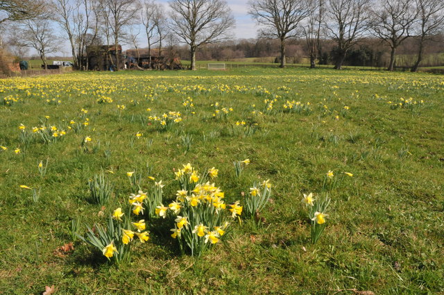
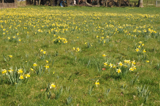
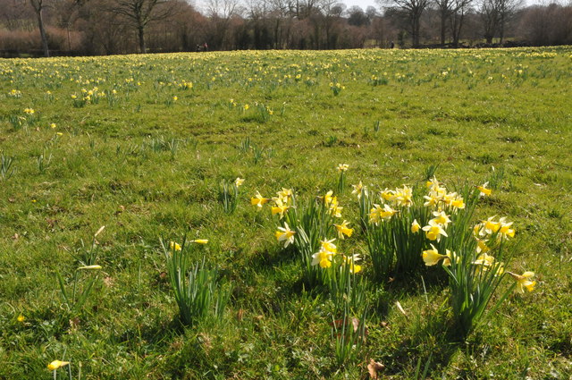
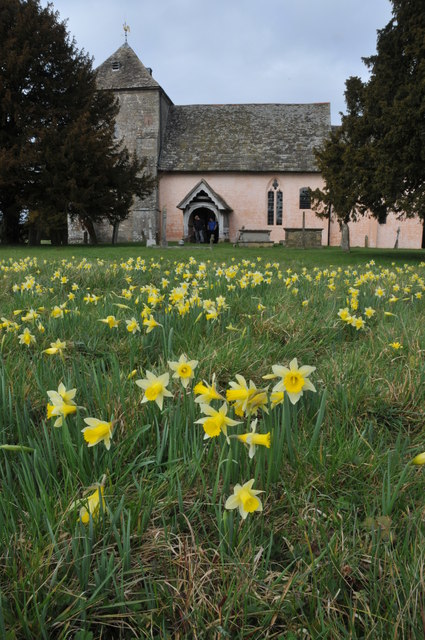
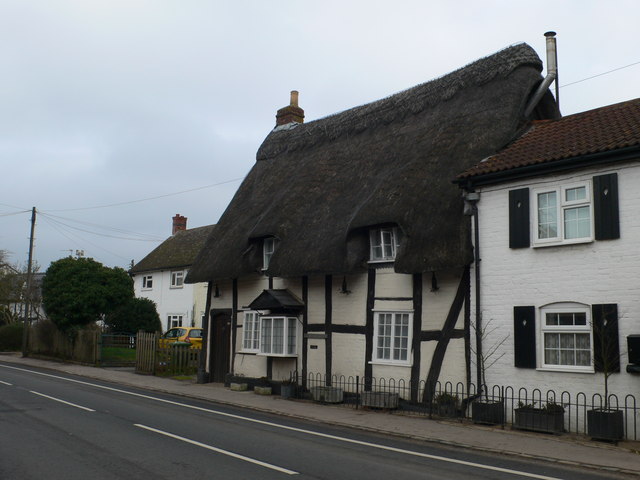
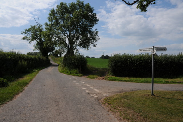
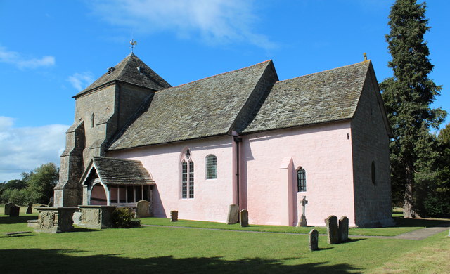
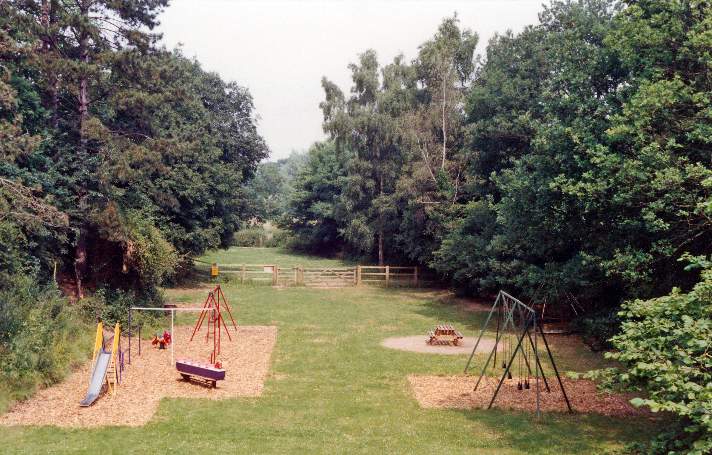
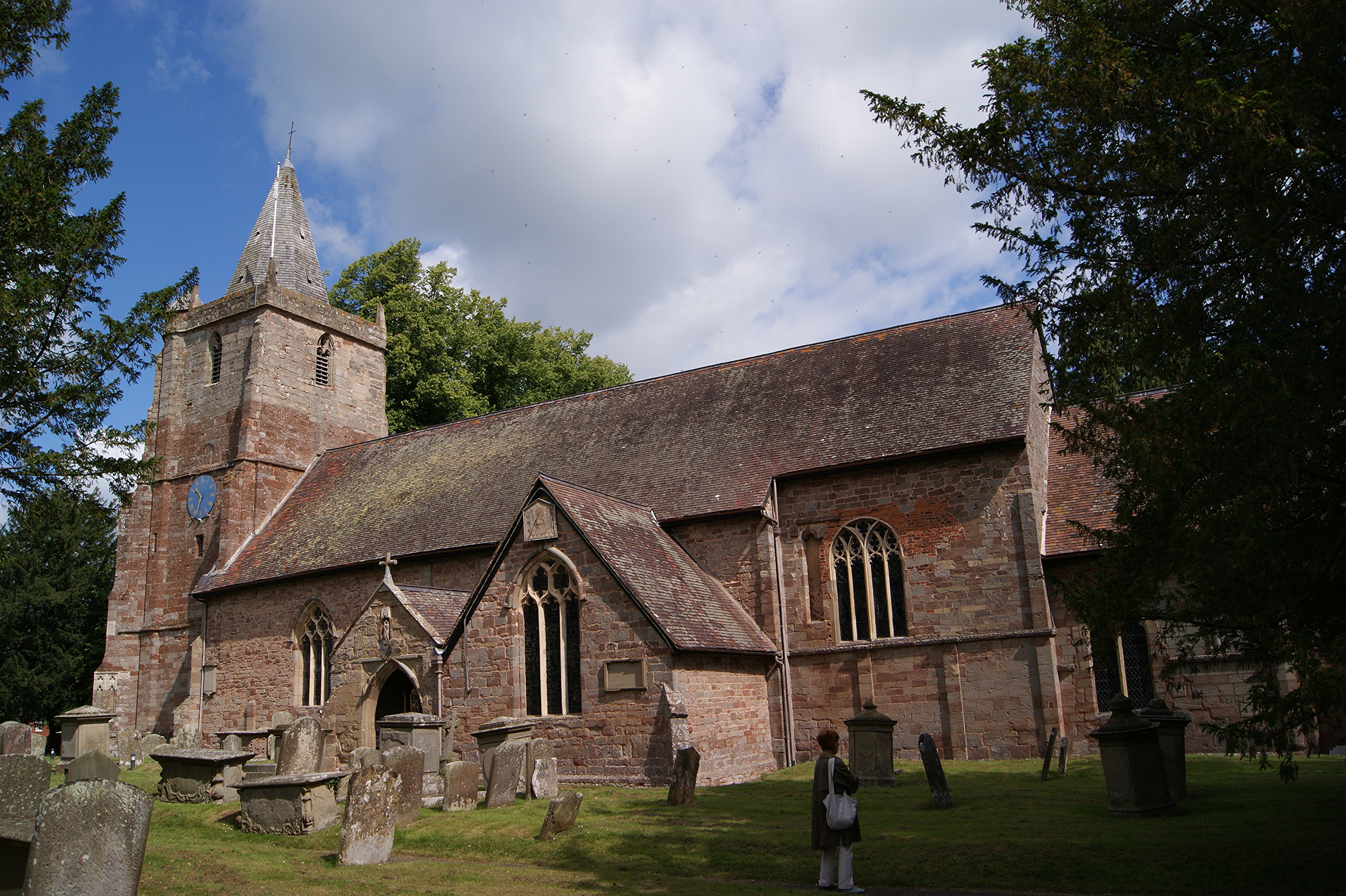
Allums Grove Images
Images are sourced within 2km of 51.976442/-2.4639184 or Grid Reference SO6830. Thanks to Geograph Open Source API. All images are credited.


Allums Grove is located at Grid Ref: SO6830 (Lat: 51.976442, Lng: -2.4639184)
Administrative County: Gloucestershire
District: Forest of Dean
Police Authority: Gloucestershire
What 3 Words
///shark.pupils.kitchen. Near Donnington, Herefordshire
Nearby Locations
Related Wikis

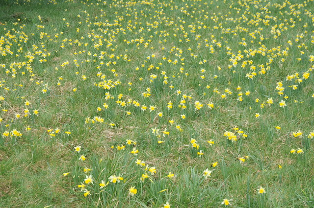
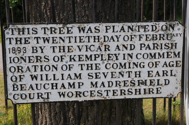
Kempley Daffodil Meadow
Kempley Daffodil Meadow (grid reference SO676301) is a 1.2-hectare (3.0-acre) biological Site of Special Scientific Interest in Gloucestershire, notified...

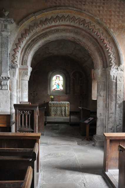
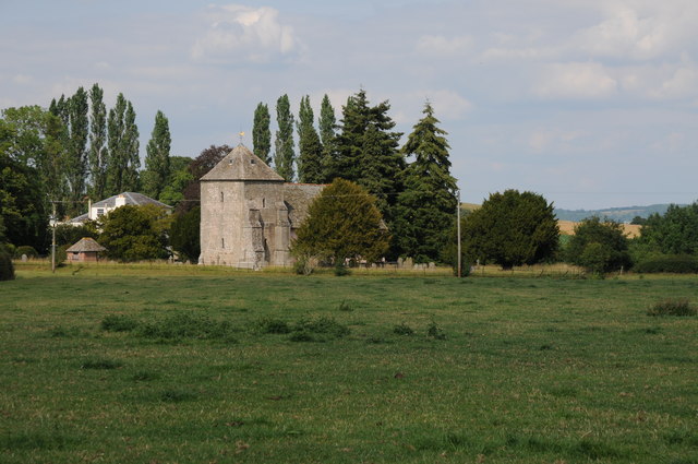
St Mary's Church, Kempley
St Mary's Church in Kempley is a former parish church in the Forest of Dean district of Gloucestershire, England, close to the border with Herefordshire...
Dymock railway station
Dymock railway station was a stop on the former Ledbury and Gloucester Railway. It opened in 1885 and served the Gloucestershire village of Dymock. It...

Dymock
Dymock is a village and civil parish in the Forest of Dean district of Gloucestershire, England, about four miles south of Ledbury. In 2014 the parish...

St Edward's Church, Kempley
The Church of St Edward the Confessor in Kempley is a Church of England parish church in the Forest of Dean district of Gloucestershire, England, close...
St Mary's Church, Dymock
St Mary's Church, Dymock is a Church of England parish church in the center of the village of Dymock in Gloucestershire, England. It is a Grade I listed...
Kempley
Kempley is a village and civil parish in the Forest of Dean district of Gloucestershire, England, close to the border with Herefordshire. It lies 17 miles...

Four Oaks Halt railway station
Four Oaks Halt was a request stop on the former Ledbury and Gloucester Railway. It was located 2 miles north of Newent. The station opened on 16 October...
Nearby Amenities
Located within 500m of 51.976442,-2.4639184Have you been to Allums Grove?
Leave your review of Allums Grove below (or comments, questions and feedback).