Starvelark Wood

Wood, Forest in Somerset

England

Starvelark Wood

Pit Wheel in Radstock The Pit Wheel monument in Radstock, photographed from the end of the Greenway, across Bath New Road A367.
The Colliers Way NCN24 starts by the wheel.
Pit Wheel in Radstock Credit: Kevin Pearson

Starvelark Wood is a picturesque forest located in Somerset, England. Covering an area of approximately 50 hectares, the wood is nestled within a rural landscape, offering a tranquil and serene environment for visitors to explore. The wood is primarily composed of native broadleaf trees, including oak, beech, and ash, which create a dense canopy overhead, providing shade and shelter to the woodland floor.

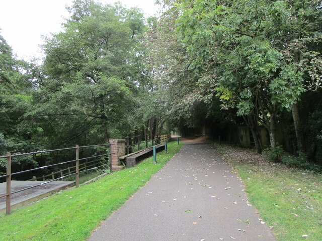
The forest is crisscrossed by a network of well-maintained footpaths, allowing visitors to easily navigate through the wood and discover its hidden treasures. These paths lead to various points of interest, such as a small pond teeming with wildlife, including ducks and dragonflies. In the spring, the forest floor is adorned with a vibrant carpet of bluebells, creating a breathtaking sight and attracting nature enthusiasts and photographers from afar.

Starvelark Wood is home to a diverse range of flora and fauna. The woodland is a haven for many bird species, including woodpeckers, warblers, and owls, making it a popular spot for birdwatching. Squirrels can often be spotted scurrying among the treetops, while deer occasionally make appearances, adding to the sense of natural beauty and tranquility.

The wood is managed by the local forestry commission, ensuring the preservation of its natural features and biodiversity. It is open to the public year-round, with no admission fee, making it a popular destination for families, walkers, and nature enthusiasts. Starvelark Wood offers a welcome escape from the hustle and bustle of everyday life, inviting visitors to immerse themselves in the beauty of nature.

If you have any feedback on the listing, please let us know in the comments section below.

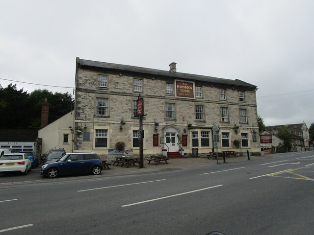
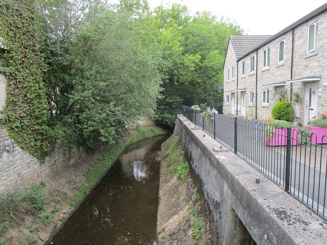
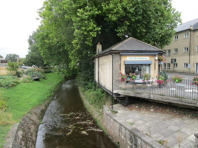
Starvelark Wood Images

Images are sourced within 2km of 51.30834/-2.4577775 or Grid Reference ST6856. Thanks to Geograph Open Source API. All images are credited.

Pit Wheel in Radstock The Pit Wheel monument in Radstock, photographed from the end of the Greenway, across Bath New Road A367.
The Colliers Way NCN24 starts by the wheel.
Pit Wheel in Radstock
The Pit Wheel monument in Radstock, photographed from the end of the Greenway, across Bath New Road A367. The Colliers Way NCN24 starts by the wheel.
Abandoned Co-op supermarket, Radstock The largest building in the centre of Radstock, now abandoned and replaced by a smaller store nearby.
Abandoned Co-op supermarket, Radstock
The largest building in the centre of Radstock, now abandoned and replaced by a smaller store nearby.
The Waldegrave Arms Hotel, Radstock Early nineteenth century hotel <span class="nowrap"><a title="https://historicengland.org.uk/listing/the-list/list-entry/1115174" rel="nofollow ugc noopener" href="https://historicengland.org.uk/listing/the-list/list-entry/1115174">Link</a><img style="margin-left:2px;" alt="External link" title="External link - shift click to open in new window" src="https://s1.geograph.org.uk/img/external.png" width="10" height="10"/></span>
The Waldegrave Arms Hotel, Radstock
Early nineteenth century hotel LinkExternal link
Flats, Waterloo Road, Radstock
Radstock Museum The former Radstock Market Hall dating from 1897 <span class="nowrap"><a title="https://historicengland.org.uk/listing/the-list/list-entry/1136837" rel="nofollow ugc noopener" href="https://historicengland.org.uk/listing/the-list/list-entry/1136837">Link</a><img style="margin-left:2px;" alt="External link" title="External link - shift click to open in new window" src="https://s1.geograph.org.uk/img/external.png" width="10" height="10"/></span>
Radstock Museum
The former Radstock Market Hall dating from 1897 LinkExternal link
Radstock Museum The former Radstock Market Hall of 1897 <span class="nowrap"><a title="https://historicengland.org.uk/listing/the-list/list-entry/1136837" rel="nofollow ugc noopener" href="https://historicengland.org.uk/listing/the-list/list-entry/1136837">Link</a><img style="margin-left:2px;" alt="External link" title="External link - shift click to open in new window" src="https://s1.geograph.org.uk/img/external.png" width="10" height="10"/></span>
Radstock Museum
The former Radstock Market Hall of 1897 LinkExternal link
Abandoned car park, Radstock Served the now closed Co-op supermarket.
Abandoned car park, Radstock
Served the now closed Co-op supermarket.
No more trolleys The large Co-op supermarket in Radstock has closed and been replaced by a smaller store elsewhere in the town.
No more trolleys
The large Co-op supermarket in Radstock has closed and been replaced by a smaller store elsewhere in the town.
Hope House health Centre, Radstock, under construction
National cycle route No. 24 in Radstock
The Wellow Brook at Radstock Heavily engineered. Looking upstream.
The Wellow Brook at Radstock
Heavily engineered. Looking upstream.
Fosseway Press, Radstock Long established printing company.
Fosseway Press, Radstock
Long established printing company.
The beginning of Wells Road, Radstock
Barber on the corner of Fortescue Road, Radstock
The Wellow Brook at Radstock
Former railway route  now cycleway, Radstock
Former railway route now cycleway, Radstock
Miners' Memorial, Radstock The pit head wheel came from a colliery at nearby Kilmersdown.
Miners' Memorial, Radstock
The pit head wheel came from a colliery at nearby Kilmersdown.
Sheepwash Bridge at Radstock
Show me another place!

Starvelark Wood is located at Grid Ref: ST6856 (Lat: 51.30834, Lng: -2.4577775)

Unitary Authority: Bath and North East Somerset

Police Authority: Avon and Somerset

What 3 Words

///anchovies.tuned.incisions. Near Camerton, Somerset

Nearby Locations

Starvelark Wood

Related Wikis

Holy Trinity Church, Clandown

Holy Trinity Church is a former Church of England church in Clandown, Somerset, England. Designed by George Phillips Manners, it was built in 1846–47 and...

Clandown

Clandown is a village lying north of Radstock in Somerset, England, just off the Fosseway. It is 1 mile (1.6 km) north of Radstock. The nearby Bowlditch...

St Peter's Church, Camerton Park

The Church of St Peter at Camerton Park in Camerton, Somerset, England was built in the 15th century and has been designated as a Grade I listed building...

Camerton Court

Camerton Court is a historic house in the village of Camerton, Somerset, England. It has been designated as a Grade II listed building. == House == The...

Camerton railway station (Somerset)

Camerton (Somerset) railway station served the village of Camerton, England from 1882 to 1951 on the Bristol and North Somerset Railway. In common with...

Camerton, Somerset

Camerton is a village and civil parish in Somerset, 6 miles (9.7 km) south west of Bath, lying on the Cam Brook. The parish has a population of 655....

Radford and Timsbury Halt railway station

Radford and Timsbury Halt railway station was on the Camerton branch of the Great Western Railway in Somerset, England. It was in use from 1910 until 1915...

Bowlditch Quarry

Bowlditch Quarry (grid reference ST668558) is a 0.25 hectare geological Site of Special Scientific Interest near the village of Clandown, Bath and North...

Nearby Amenities

Located within 500m of 51.30834,-2.4577775
Bus Stop
Eastdown Rd
Naptan AtcoCode: 0180BAC31074
Naptan Bearing: NW
Naptan CommonName: Eastdown Rd
Naptan Crossing: Overdale
Naptan NaptanCode: bthdapa
Naptan Street: Eastdown Road
Naptan Verified: no
Source: naptan_import
Lat/Long: 51.3042627/-2.4579283
Bus Stop
Eastdown Rd
Naptan AtcoCode: 0180BAC31075
Naptan Bearing: SE
Naptan BusStopType: CUS
Naptan CommonName: Eastdown Rd
Naptan Crossing: Overdale
Naptan NaptanCode: bthdamw
Naptan Street: Eastdown Road
Naptan Verified: no
Source: naptan_import
Lat/Long: 51.304308/-2.4578571
Barrier: stile
Lat/Long: 51.3041721/-2.4601782
Natural: peak
Lat/Long: 51.3079486/-2.4510198
Barrier: stile
Lat/Long: 51.311501/-2.4611293
Barrier: stile
Lat/Long: 51.3113463/-2.4573286
Barrier: stile
Lat/Long: 51.3115274/-2.4610206
Barrier: stile
Lat/Long: 51.3105861/-2.4520562
Power: pole
Lat/Long: 51.3116759/-2.4573715
Power: pole
Lat/Long: 51.311909/-2.456327
Power: pole
Lat/Long: 51.3121266/-2.4551777
Power: pole
Lat/Long: 51.310359/-2.4577638
Power: pole
Lat/Long: 51.3108366/-2.4570983
Power: pole
Lat/Long: 51.3115242/-2.4560785
Power: pole
Transformer: distribution
Lat/Long: 51.3066108/-2.4598444
Power: pole
Lat/Long: 51.307514/-2.4597856
Power: pole
Lat/Long: 51.3083617/-2.459723
Power: pole
Lat/Long: 51.3088554/-2.4596932
Power: pole
Lat/Long: 51.3095242/-2.4588528
The data included in this document is from www.openstreetmap.org. The data is made available under ODbL.

Have you been to Starvelark Wood?

Leave your review of Starvelark Wood below (or comments, questions and feedback).