Ramhill Wood

Wood, Forest in Gloucestershire

England

Ramhill Wood

The Arches, Westerleigh Located close to the twin main-line railway bridges, south of Yate.
The Arches, Westerleigh Credit: Roger Cornfoot

Ramhill Wood is a picturesque woodland located in Gloucestershire, England. Situated near the village of Ramhill, this woodland covers an area of approximately 100 acres, making it a significant natural habitat within the region. The wood is predominantly composed of broadleaf trees such as oak, beech, and ash, which create a dense and lush canopy throughout the year.

Ramhill Wood is known for its rich biodiversity, providing a habitat for a wide range of flora and fauna. The forest floor is adorned with a variety of wildflowers, including bluebells, primroses, and wood anemones, creating a vibrant and colorful tapestry in springtime. The wood also supports a diverse population of bird species, including woodpeckers, thrushes, and owls, making it a haven for birdwatchers.

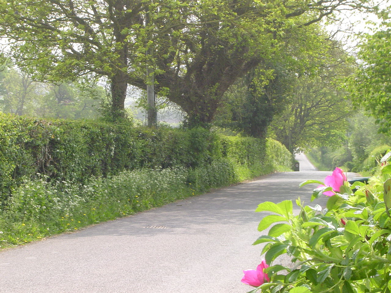
A network of well-maintained footpaths allows visitors to explore the wood and enjoy the tranquil surroundings. The paths wind through the woodland, offering breathtaking views of the ancient trees and the occasional glimpse of wildlife. Ramhill Wood is a popular destination for nature enthusiasts, walkers, and families looking to reconnect with nature.

The wood is managed by the local forestry commission, ensuring the preservation of its natural beauty and ecological importance. Visitors are encouraged to respect the woodland environment and adhere to any guidelines provided, including refraining from littering and keeping dogs on a leash.

Overall, Ramhill Wood is a cherished natural gem in Gloucestershire, offering a serene and captivating experience for all who visit.

If you have any feedback on the listing, please let us know in the comments section below.
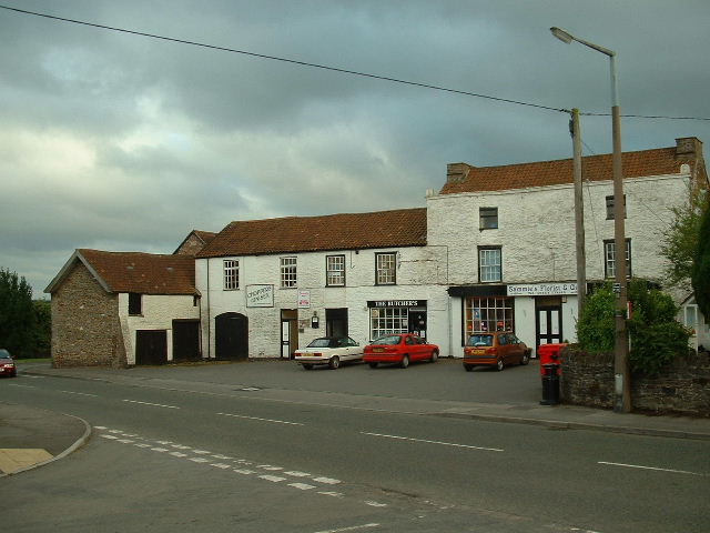
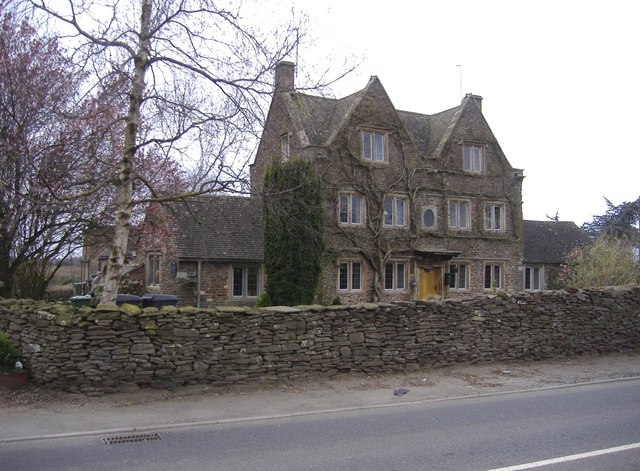
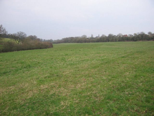
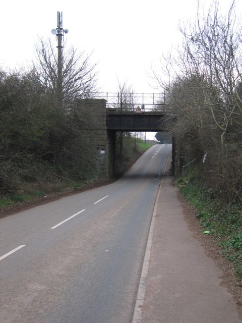
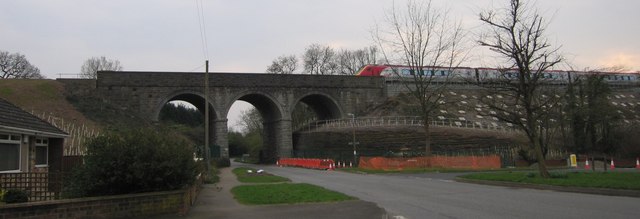
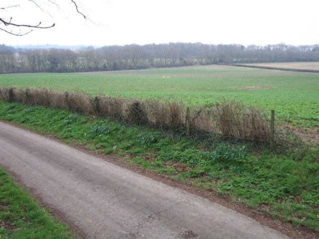
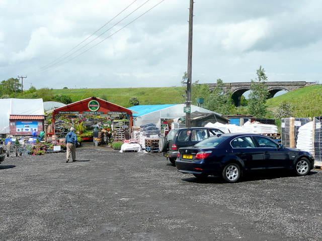
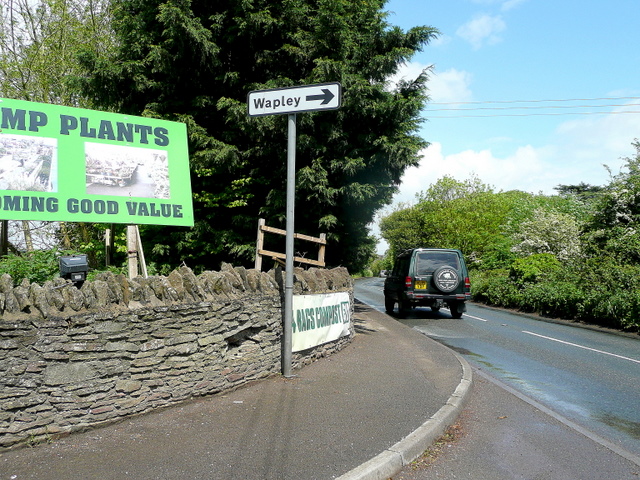
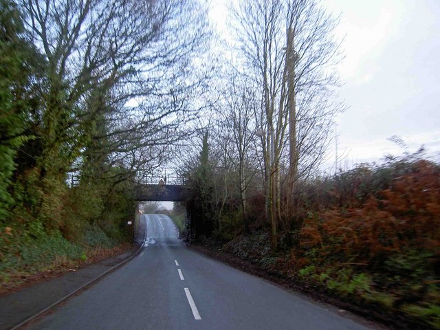
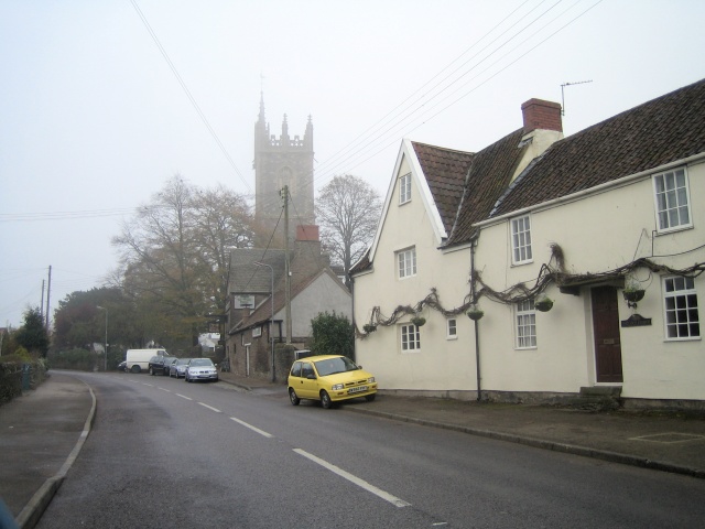
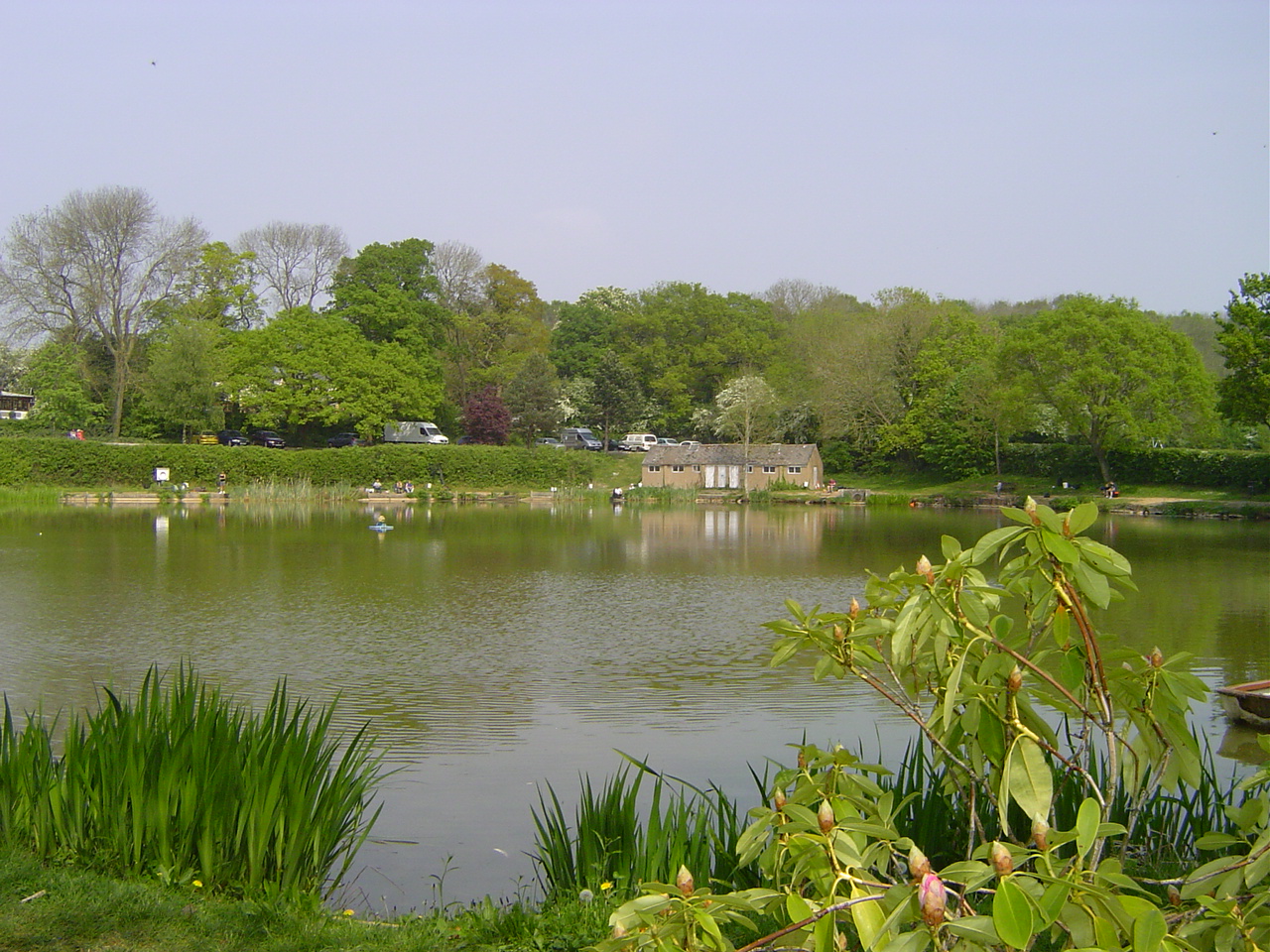
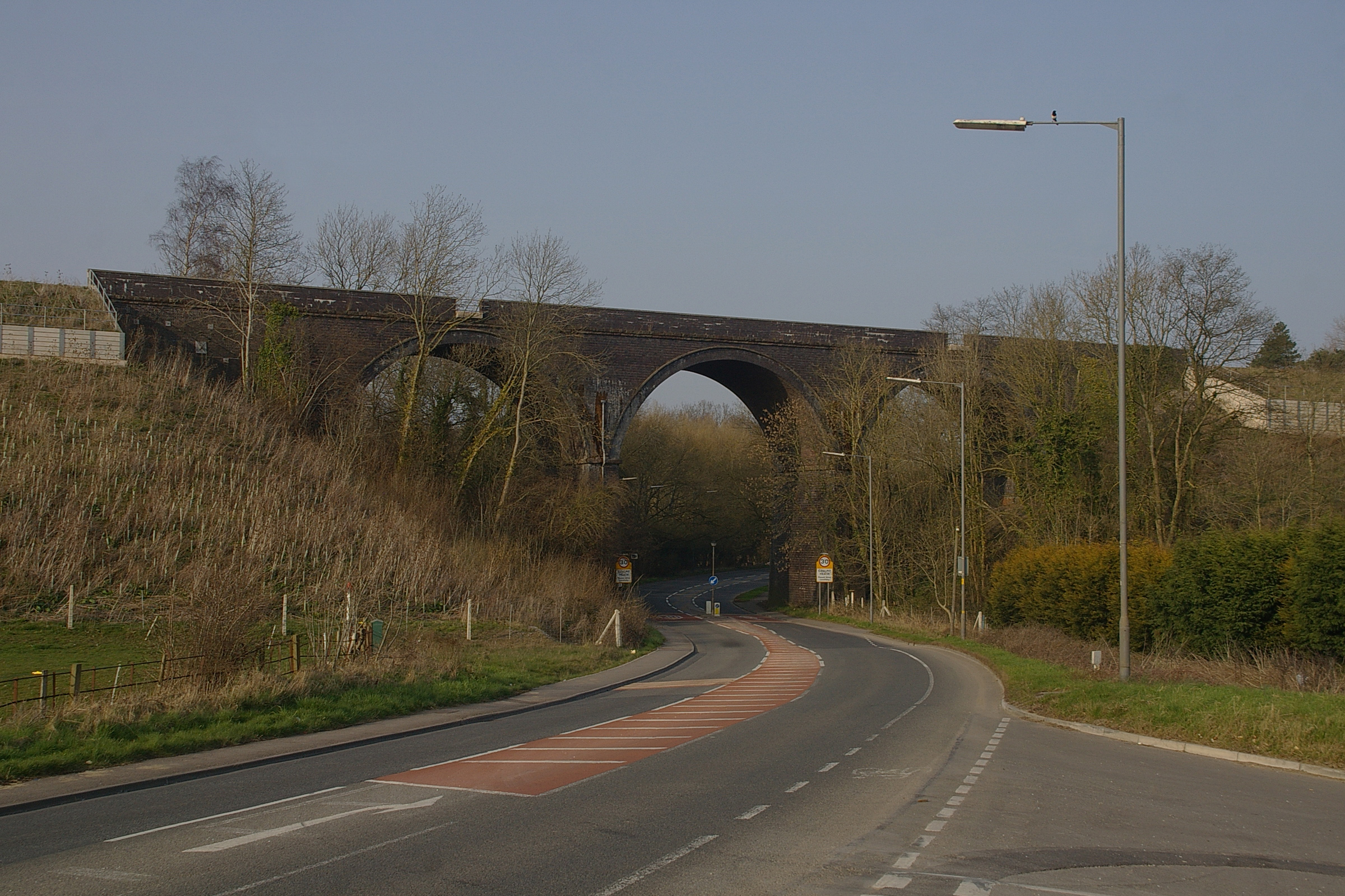
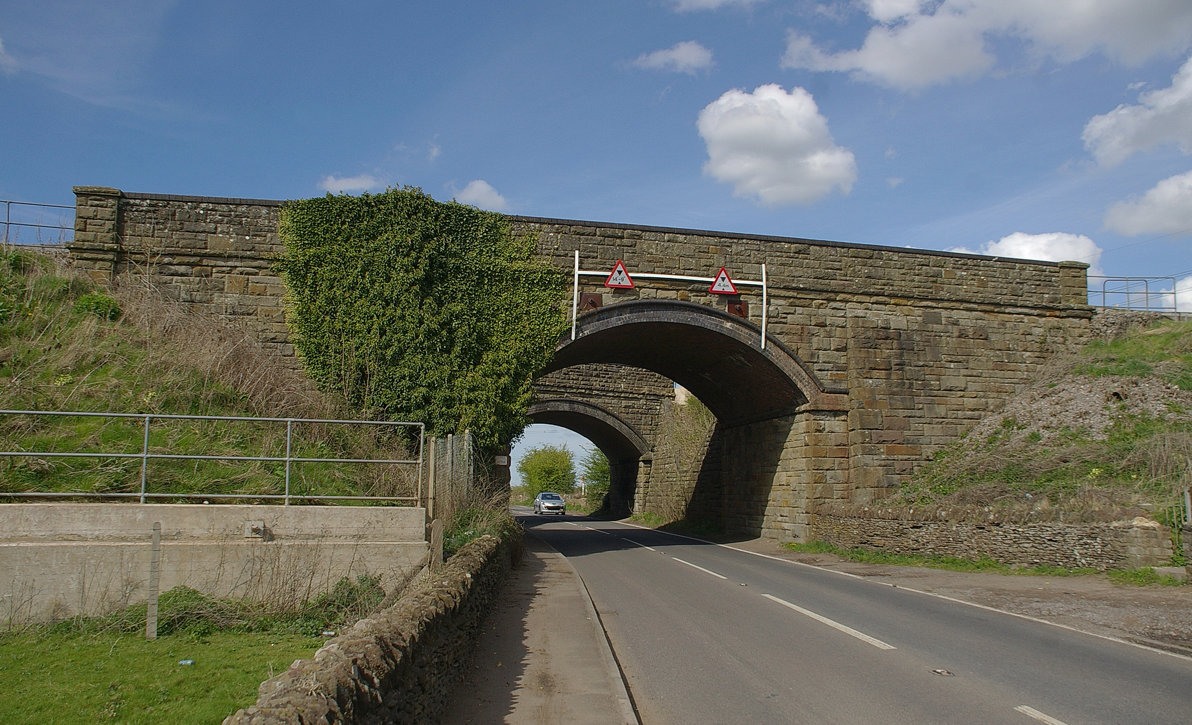
Ramhill Wood Images

Images are sourced within 2km of 51.51808/-2.4599791 or Grid Reference ST6880. Thanks to Geograph Open Source API. All images are credited.

The Arches, Westerleigh Located close to the twin main-line railway bridges, south of Yate.
The Arches, Westerleigh
Located close to the twin main-line railway bridges, south of Yate.
Frampton End Looking south toward the shops opposite Frampton End lane.
Frampton End
Looking south toward the shops opposite Frampton End lane.
Twin arches The main line from Cardiff and Bristol diverges at this point. The closest bridge carries trains north to the Midlands, whilst the rear bridge supports the line to London.
Twin arches
The main line from Cardiff and Bristol diverges at this point. The closest bridge carries trains north to the Midlands, whilst the rear bridge supports the line to London.
The sign of the dolphin Presumably a former public house.
The sign of the dolphin
Presumably a former public house.
Field I would have taken a picture of the river flowing behind the trees on the left, but it was not pretty. The water itself looked coloured as if it were the run off from a farmyard. It also contained much debris like tyres and a keep left bollard.
Field
I would have taken a picture of the river flowing behind the trees on the left, but it was not pretty. The water itself looked coloured as if it were the run off from a farmyard. It also contained much debris like tyres and a keep left bollard.
Bridge this bridge carries the London to Wales line with Bristol Parkway not far up the track.
Bridge
this bridge carries the London to Wales line with Bristol Parkway not far up the track.
Not the Church I cannot believe that in March 07 I found a square with no geograph in it that also had a church. So... not falling for the trap I photographed something else.

The train has just left Bristol Parkway 4 km to the east and is heading towards London. The bridge may not be as big as the viaduct just down the line <a href="https://www.geograph.org.uk/gridref/ST6579">ST6579</a> but is interesting none the less.

I leave the church for someone else.
Not the Church
I cannot believe that in March 07 I found a square with no geograph in it that also had a church. So... not falling for the trap I photographed something else. The train has just left Bristol Parkway 4 km to the east and is heading towards London. The bridge may not be as big as the viaduct just down the line ST6579 but is interesting none the less. I leave the church for someone else.
Not Another Field Sorry, yes, another field. The railway line runs along the back of the field behind the far hedge.
Not Another Field
Sorry, yes, another field. The railway line runs along the back of the field behind the far hedge.
Mast and Marquees The industrial area beyond the field houses a mobile phone mast and quite a big outfit that deals in marquees. Whether they make them or loan them out I'm not sure but they had quite a few large lorries. Off to the left was a mobile home complex called Willows.
Mast and Marquees
The industrial area beyond the field houses a mobile phone mast and quite a big outfit that deals in marquees. Whether they make them or loan them out I'm not sure but they had quite a few large lorries. Off to the left was a mobile home complex called Willows.
Branch line to Yate Taken from the main line to the Midlands.
Branch line to Yate
Taken from the main line to the Midlands.
Truly Scrumptious Café in Frampton End.
Truly Scrumptious
Café in Frampton End.
Rodford From The Train
Kemps Nurseries, Westerleigh A real nursery that grows most of what it sells.
The railway line in the background is the London to South Wales.
Kemps Nurseries, Westerleigh
A real nursery that grows most of what it sells. The railway line in the background is the London to South Wales.
Westerleigh Road Looking north towards Yate at the entrance to Kemps Nurseries.
Westerleigh Road
Looking north towards Yate at the entrance to Kemps Nurseries.
Low railway bridge on Park Lane near Winterbourne Down
Mayshill morning The busy Badminton Road into Yate is nearby.
Mayshill morning
The busy Badminton Road into Yate is nearby.
The New Inn
The New Inn
Westerleigh St James the Great (we were married there), and Ye Olde Inn.
Westerleigh
St James the Great (we were married there), and Ye Olde Inn.
Show me another place!

Ramhill Wood is located at Grid Ref: ST6880 (Lat: 51.51808, Lng: -2.4599791)

Unitary Authority: South Gloucestershire

Police Authority: Avon and Somerset

What 3 Words

///greyhound.dentistry.sample. Near Winterbourne, Gloucestershire

Related Wikis

Ram Hill

Ram Hill is a hamlet in the civil parish of Westerleigh and Coalpit Heath, in the South Gloucestershire district, in the ceremonial county of Gloucestershire...

Ram Hill Colliery

Ram Hill Colliery, (grid reference ST679803) was a privately owned colliery in the Coalpit Heath area north-east of Bristol, England. It operated between...

Coalpit Heath railway station

Coalpit Heath railway station served the village of Coalpit Heath, South Gloucestershire, England from 1903 to 1961 on the South Wales Main Line. ��2...

Henfield, Gloucestershire

Henfield is a hamlet in the civil parish of Westerleigh and Coalpit Heath, in the South Gloucestershire district, in the ceremonial county of Gloucestershire...

Coalpit Heath

Coalpit Heath is a small village in the civil parish of Westerleigh and Coalpit Heath, in the South Gloucestershire district, in the ceremonial county...

Mayshill

Mayshill or Mays Hill is a hamlet located in the Parish of Westerleigh, South Gloucestershire, England. It is located just off the A432 (Badminton Road...

Westerleigh Junction

Westerleigh Junction is a railway junction in Gloucestershire, England, where the Cross Country Route (XCR) from York to Bristol Temple Meads meets the...

Kendleshire

Kendleshire is a small scattered settlement in South Gloucestershire, England, between Winterbourne Down and Henfield. Kendleshire hamlet includes about...

Nearby Amenities

Located within 500m of 51.51808,-2.4599791
Post Box
Brand: Royal Mail
Brand Wikidata: Q638098
Collection Times: Mo-Fr 09:00, Sa 07:00
Operator: Royal Mail
Operator Wikidata: Q638098
Post Box Type: lamp
Ref: BS36 503
Royal Cypher: GVIR
Royal Cypher Wikidata: Q33102169
Lat/Long: 51.5197996/-2.4645583
Bus Stop
Greenacres Park
Naptan AtcoCode: 0170SGZ01519
Naptan Bearing: S
Naptan CommonName: Greenacres Park
Naptan NaptanCode: sglmagw
Naptan Street: Ram Hill
Naptan Verified: no
Source: naptan_import
Lat/Long: 51.5183329/-2.4648856
Operator: Network Rail
Railway: signal
Railway Signal Direction: forward
Railway Signal Main: GB-NR:main
Railway Signal Main Design: combined
Railway Signal Main Form: light
Railway Signal Main States: red;green;
Railway Signal Position: left
Ref: BL 1468
Lat/Long: 51.5202074/-2.4540127
Barrier: kissing_gate
Lat/Long: 51.5210717/-2.4631707
Addr Housename: South View
Addr Housenumber: 56
Addr Street: Ram Hill
Building: house
Lat/Long: 51.5200287/-2.4650691
Addr Housename: Walnut Cottage
Addr Street: Ram Hill
Building: house
Lat/Long: 51.5200361/-2.4645055
Power: pole
Lat/Long: 51.5142793/-2.4637291
Power: pole
Lat/Long: 51.5177401/-2.4670984
Power: pole
Lat/Long: 51.5177925/-2.4664923
Power: pole
Lat/Long: 51.5178477/-2.4658619
Power: pole
Lat/Long: 51.5179174/-2.4649559
Power: pole
Lat/Long: 51.5181918/-2.4671314
Power: pole
Lat/Long: 51.5189428/-2.4660802
Power: pole
Lat/Long: 51.5195869/-2.4651618
Grit Bin
Colour: yellow
Lat/Long: 51.5183273/-2.4648483
Waste Basket
Waste: dog_excrement
Lat/Long: 51.5198364/-2.4643559
Grit Bin
Colour: green
Material: plastic
Lat/Long: 51.5198383/-2.4643193
Ram Hill
Place: hamlet
Wikidata: Q7288476
Wikipedia: en:Ram Hill
Lat/Long: 51.517817/-2.4653371
Ram Hill Colliery
Board Type: history
Information: board
Tourism: information
Lat/Long: 51.5205189/-2.4634495
Barrier: kissing_gate
Material: metal
Lat/Long: 51.5216634/-2.4627723
Direction: 180
Generator Method: photovoltaic
Generator Output Electricity: yes
Generator Solar Modules: 6
Generator Source: solar
Generator Type: solar_photovoltaic_panel
Location: roof
Power: generator
Lat/Long: 51.5198265/-2.4635241
Direction: 190
Generator Method: photovoltaic
Generator Output Electricity: yes
Generator Solar Modules: 10
Generator Source: solar
Generator Type: solar_photovoltaic_panel
Location: roof
Power: generator
Lat/Long: 51.5170113/-2.4644405
Direction: 190
Generator Method: photovoltaic
Generator Output Electricity: yes
Generator Solar Modules: 10
Generator Source: solar
Generator Type: solar_photovoltaic_panel
Location: roof
Power: generator
Lat/Long: 51.5170009/-2.4643635
Direction: 190
Generator Method: photovoltaic
Generator Output Electricity: yes
Generator Solar Modules: 12
Generator Source: solar
Generator Type: solar_photovoltaic_panel
Location: roof
Power: generator
Lat/Long: 51.5167258/-2.4649285
Barrier: kissing_gate
Lat/Long: 51.5198927/-2.4595856
The data included in this document is from www.openstreetmap.org. The data is made available under ODbL.

Have you been to Ramhill Wood?

Leave your review of Ramhill Wood below (or comments, questions and feedback).