Martin Croft Brake

Wood, Forest in Gloucestershire

England

Martin Croft Brake

Ruffet Rd
Ruffet Rd Credit: N Chadwick

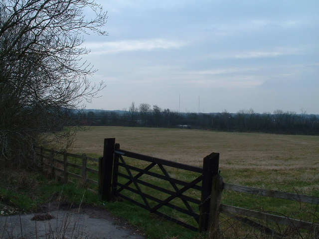
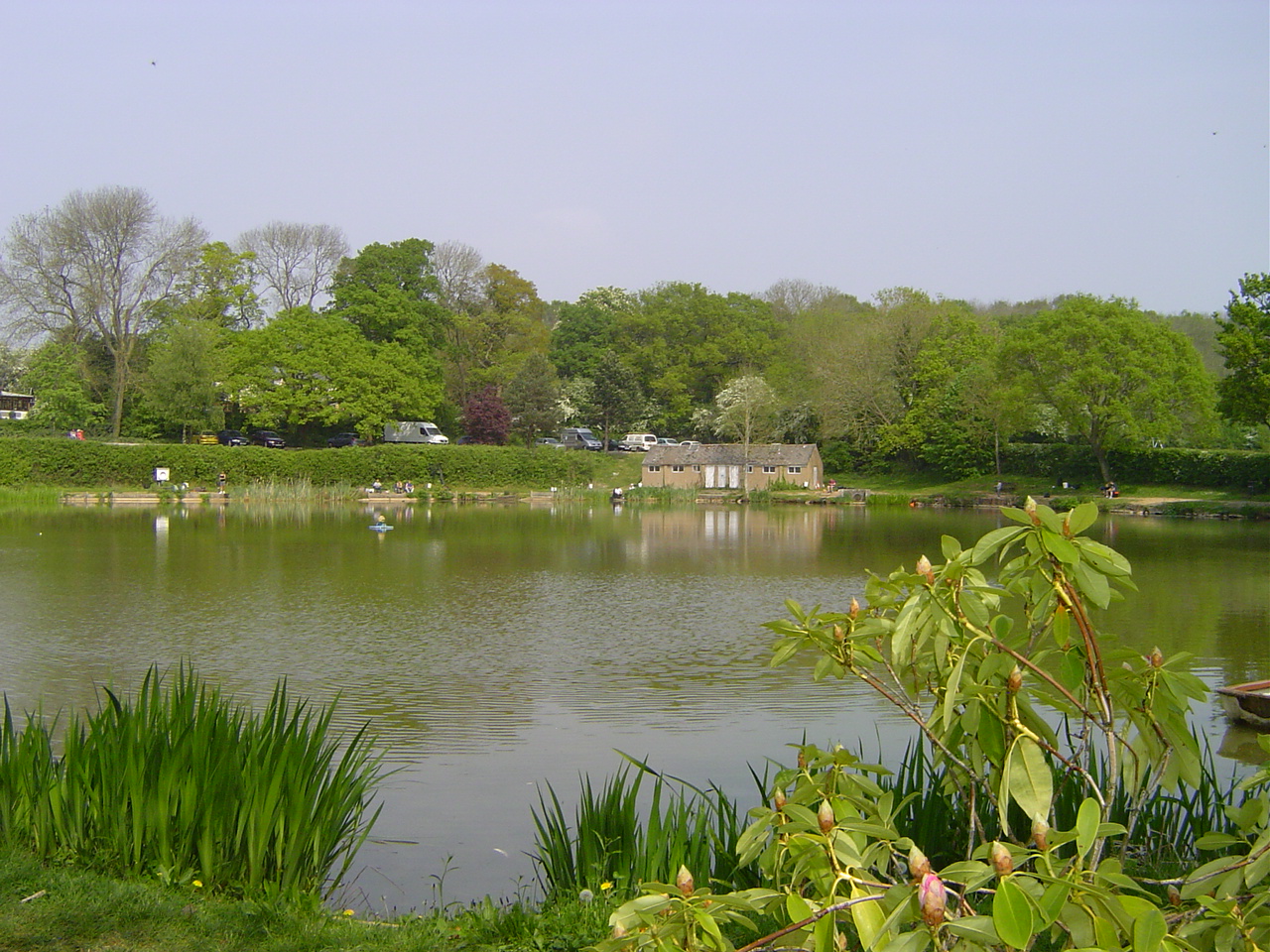
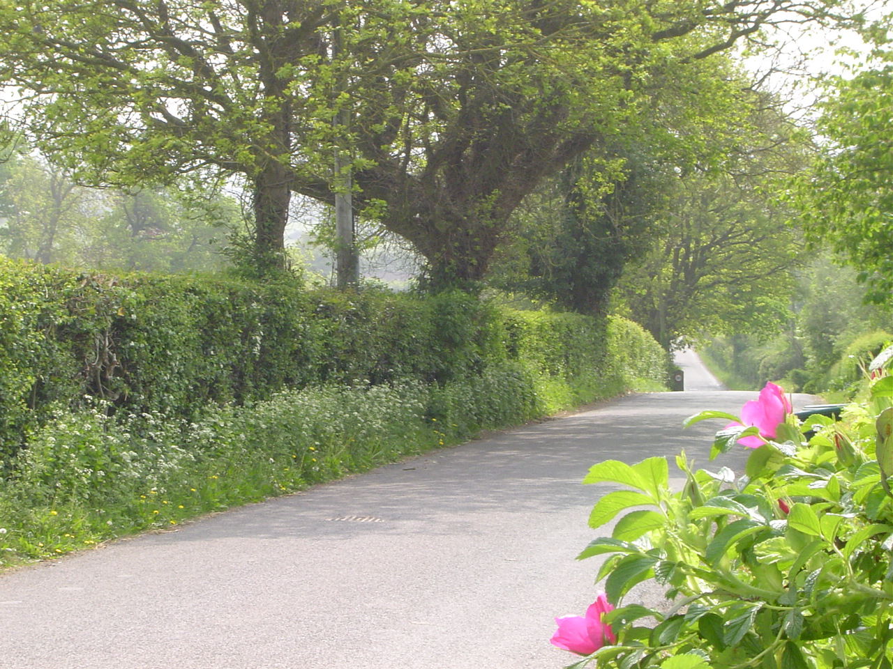
Martin Croft Brake is a serene woodland area located in Gloucestershire, England. Nestled within the picturesque Forest of Dean, this natural haven spans over an approximate area of 200 acres, providing a tranquil retreat for nature enthusiasts and outdoor lovers alike.

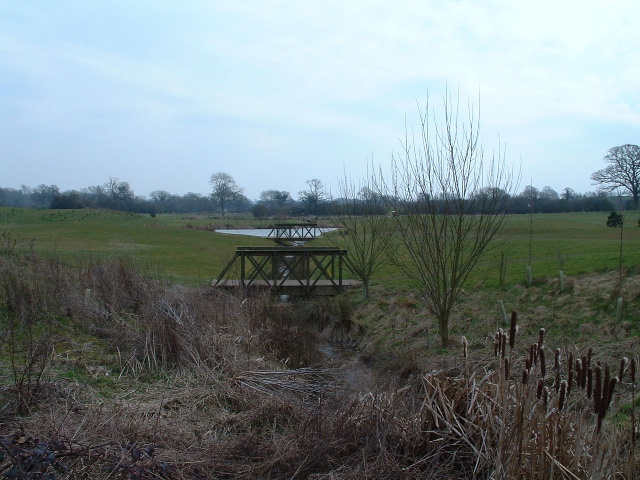
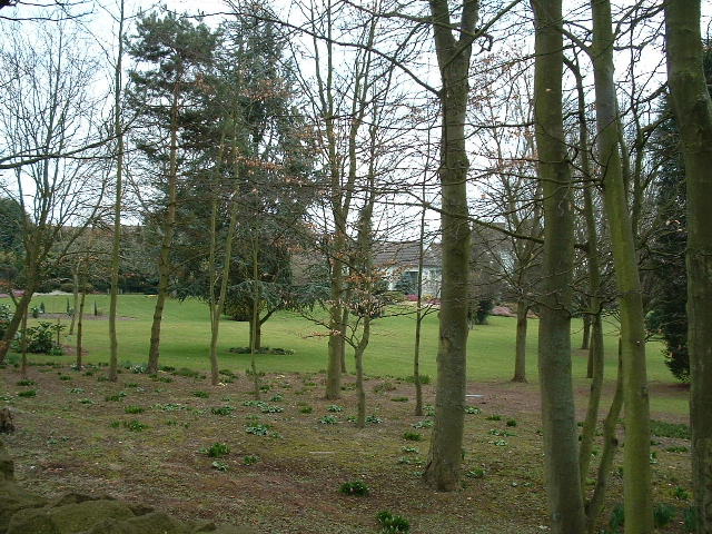
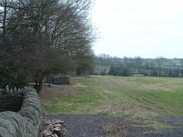
The primary feature of Martin Croft Brake is its dense, ancient woodland, comprising of a diverse range of tree species such as oak, beech, and birch. The forest floor is adorned with an abundance of wildflowers, creating a vibrant and colorful landscape during the blooming seasons. The area is also home to a variety of wildlife, including deer, foxes, badgers, and numerous bird species, making it a haven for wildlife enthusiasts and birdwatchers.

The site boasts a network of well-maintained walking trails and paths, allowing visitors to explore the woodland at their own pace. These paths meander through the forest, offering opportunities to admire the breathtaking scenery and immerse oneself in the peaceful ambiance. Additionally, there are several picnic spots scattered throughout the area, providing an ideal setting for families and friends to enjoy a leisurely outdoor meal surrounded by nature.

Martin Croft Brake is easily accessible for visitors, with ample parking facilities available nearby. The site also offers basic amenities such as toilets and information boards to enhance the visitor experience. Whether one seeks solitude amidst nature, a peaceful walk, or an opportunity to observe wildlife, Martin Croft Brake in Gloucestershire promises a truly enchanting experience in the heart of the Forest of Dean.

If you have any feedback on the listing, please let us know in the comments section below.

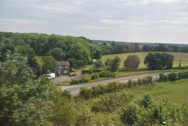
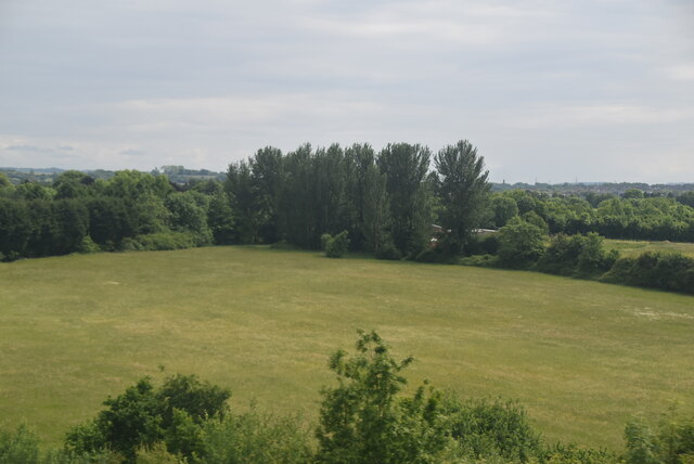
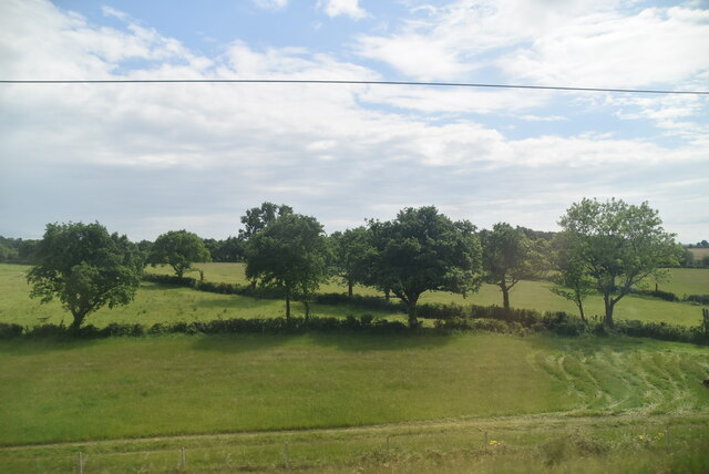
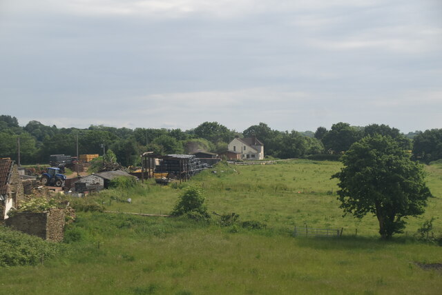
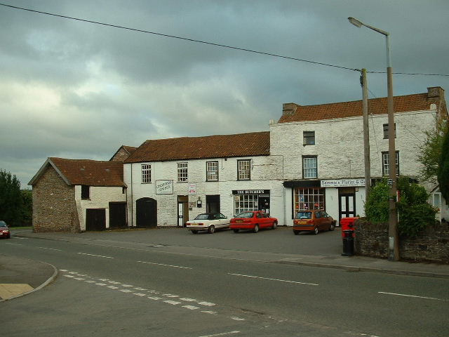
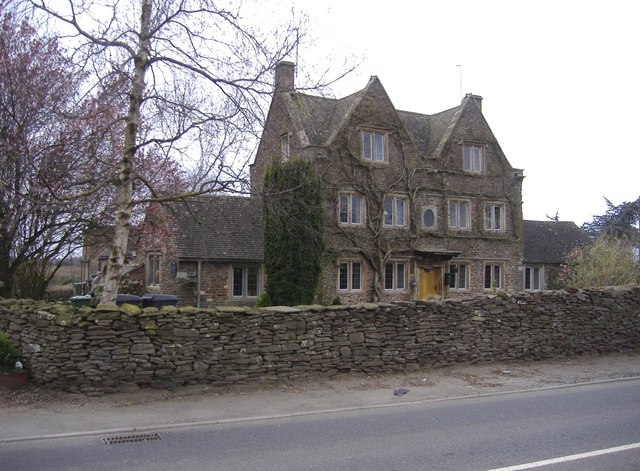
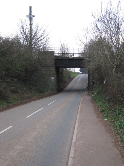
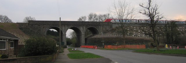
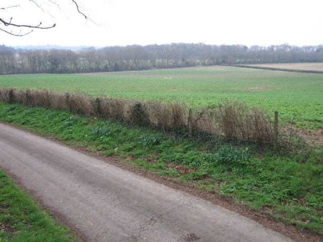
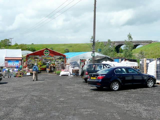
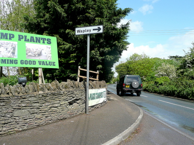
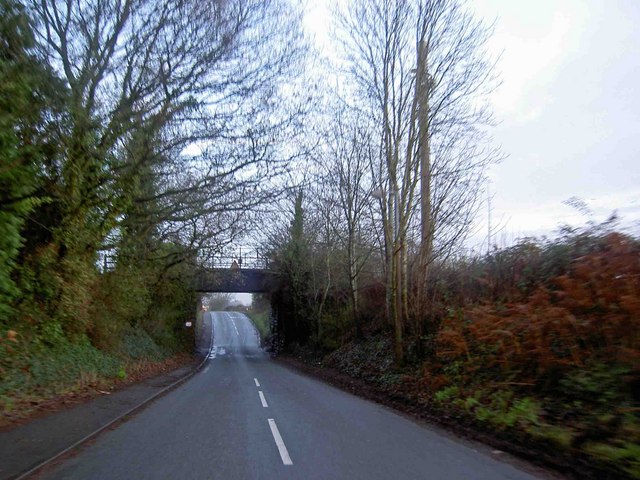
Martin Croft Brake Images

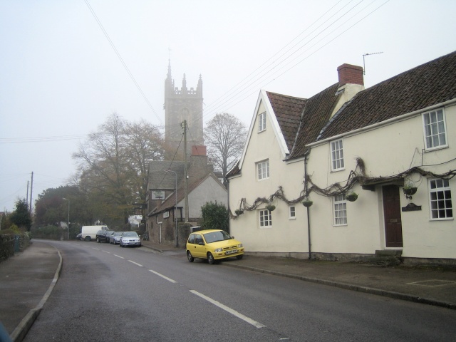
Images are sourced within 2km of 51.514855/-2.4614598 or Grid Reference ST6879. Thanks to Geograph Open Source API. All images are credited.

Ruffet Rd
Ruffet Rd
Farmland and trees
Farmland and trees
Farmland and trees
Farmland and trees
Dodmoor Farm
Dodmoor Farm
Frampton End Looking south toward the shops opposite Frampton End lane.
Frampton End
Looking south toward the shops opposite Frampton End lane.
The sign of the dolphin Presumably a former public house.
The sign of the dolphin
Presumably a former public house.
Bridge this bridge carries the London to Wales line with Bristol Parkway not far up the track.
Bridge
this bridge carries the London to Wales line with Bristol Parkway not far up the track.
Not the Church I cannot believe that in March 07 I found a square with no geograph in it that also had a church. So... not falling for the trap I photographed something else.

The train has just left Bristol Parkway 4 km to the east and is heading towards London. The bridge may not be as big as the viaduct just down the line <a href="https://www.geograph.org.uk/gridref/ST6579">ST6579</a> but is interesting none the less.

I leave the church for someone else.
Not the Church
I cannot believe that in March 07 I found a square with no geograph in it that also had a church. So... not falling for the trap I photographed something else. The train has just left Bristol Parkway 4 km to the east and is heading towards London. The bridge may not be as big as the viaduct just down the line ST6579 but is interesting none the less. I leave the church for someone else.
Not Another Field Sorry, yes, another field. The railway line runs along the back of the field behind the far hedge.
Not Another Field
Sorry, yes, another field. The railway line runs along the back of the field behind the far hedge.
Branch line to Yate Taken from the main line to the Midlands.
Branch line to Yate
Taken from the main line to the Midlands.
Kemps Nurseries, Westerleigh A real nursery that grows most of what it sells.
The railway line in the background is the London to South Wales.
Kemps Nurseries, Westerleigh
A real nursery that grows most of what it sells. The railway line in the background is the London to South Wales.
Westerleigh Road Looking north towards Yate at the entrance to Kemps Nurseries.
Westerleigh Road
Looking north towards Yate at the entrance to Kemps Nurseries.
Low railway bridge on Park Lane near Winterbourne Down
Westerleigh St James the Great (we were married there), and Ye Olde Inn.
Westerleigh
St James the Great (we were married there), and Ye Olde Inn.
Kendleshire Golf Club Water hazards here.
Kendleshire Golf Club
Water hazards here.
Gardens of Serridge House Coalpit Heath near Bristol
Gardens of Serridge House
Coalpit Heath near Bristol
Fields adjacent to Serridge House Looking towards the golf course
Fields adjacent to Serridge House
Looking towards the golf course
Farmland near the M4 motorway Looking South from Coalsack Lane
Farmland near the M4 motorway
Looking South from Coalsack Lane
Show me another place!

Martin Croft Brake is located at Grid Ref: ST6879 (Lat: 51.514855, Lng: -2.4614598)

Unitary Authority: South Gloucestershire

Police Authority: Avon and Somerset

What 3 Words

///thumb.browser.beads. Near Winterbourne, Gloucestershire

Related Wikis

Henfield, Gloucestershire

Henfield is a hamlet in the civil parish of Westerleigh and Coalpit Heath, in the South Gloucestershire district, in the ceremonial county of Gloucestershire...

Ram Hill

Ram Hill is a hamlet in the civil parish of Westerleigh and Coalpit Heath, in the South Gloucestershire district, in the ceremonial county of Gloucestershire...

Ram Hill Colliery

Ram Hill Colliery, (grid reference ST679803) was a privately owned colliery in the Coalpit Heath area north-east of Bristol, England. It operated between...

Coalpit Heath railway station

Coalpit Heath railway station served the village of Coalpit Heath, South Gloucestershire, England from 1903 to 1961 on the South Wales Main Line. ��2...

Nearby Amenities

Located within 500m of 51.514855,-2.4614598
Bus Stop
Greenacres Park
Naptan AtcoCode: 0170SGZ01519
Naptan Bearing: S
Naptan CommonName: Greenacres Park
Naptan NaptanCode: sglmagw
Naptan Street: Ram Hill
Naptan Verified: no
Source: naptan_import
Lat/Long: 51.5183329/-2.4648856
Barrier: kissing_gate
Material: metal
Lat/Long: 51.5147589/-2.4674184
Barrier: stile
Lat/Long: 51.5116419/-2.4605571
Barrier: kissing_gate
Lat/Long: 51.5121416/-2.4638498
Barrier: stile
Lat/Long: 51.5143133/-2.4659864
Barrier: stile
Lat/Long: 51.5118017/-2.464883
Post Box
Collection Times: Mo-Fr 16:15, Sa 08:00
Operator: Royal Mail
Post Box Type: wall
Ref: BS36 176
Royal Cypher: EIIR
Royal Cypher Wikidata: Q33102113
Lat/Long: 51.5120201/-2.4654735
Barrier: kissing_gate
Material: wood
Lat/Long: 51.5121039/-2.4657819
Power: pole
Lat/Long: 51.5113824/-2.4650578
Power: pole
Lat/Long: 51.5117191/-2.4648008
Power: pole
Lat/Long: 51.5125404/-2.4643153
Power: pole
Lat/Long: 51.5126967/-2.4642317
Power: pole
Lat/Long: 51.5127419/-2.4640936
Power: pole
Lat/Long: 51.5130216/-2.4643679
Power: pole
Lat/Long: 51.5124306/-2.4650512
Power: pole
Lat/Long: 51.5134236/-2.4645467
Power: pole
Lat/Long: 51.5139147/-2.4647449
Power: pole
Lat/Long: 51.5143112/-2.4649307
Power: pole
Lat/Long: 51.5142793/-2.4637291
Power: pole
Lat/Long: 51.5118813/-2.4655091
Power: pole
Lat/Long: 51.5122444/-2.465003
Power: pole
Lat/Long: 51.5129807/-2.4653872
Power: pole
Lat/Long: 51.5115048/-2.4635118
Power: pole
Lat/Long: 51.5113165/-2.463472
Power: pole
Lat/Long: 51.5109042/-2.4631454
Power: pole
Lat/Long: 51.5104488/-2.4628466
Grit Bin
Colour: green
Lat/Long: 51.5115579/-2.4636747
Power: pole
Lat/Long: 51.5177925/-2.4664923
Power: pole
Lat/Long: 51.5178477/-2.4658619
Power: pole
Lat/Long: 51.5179174/-2.4649559
Power: pole
Lat/Long: 51.5171368/-2.4670747
Power: pole
Lat/Long: 51.5165664/-2.4670447
Grit Bin
Colour: yellow
Lat/Long: 51.5183273/-2.4648483
Ram Hill
Place: hamlet
Wikidata: Q7288476
Wikipedia: en:Ram Hill
Lat/Long: 51.517817/-2.4653371
Henfield
Place: hamlet
Wikidata: Q5714178
Wikipedia: en:Henfield, Gloucestershire
Lat/Long: 51.5117368/-2.4641357
Colour: white
Marker: stile
Operator: GPSS
Utility: oil
Lat/Long: 51.5142245/-2.4648652
Colour: white
Inscription: A/T (W) OIL PIPELINE
Marker: stone
Operator: GPSS
Utility: oil
Lat/Long: 51.5142287/-2.4648664
Colour: white
Marker: stone
Operator: GPSS
Utility: oil
Lat/Long: 51.514251/-2.4646852
Colour: yellow;black
Marker: aerial
Operator: GPSS
Utility: oil
Lat/Long: 51.5131608/-2.4561346
Colour: white
Marker: stile
Operator: GPSS
Utility: oil
Lat/Long: 51.5131604/-2.4561285
Colour: white
Inscription: A/T (W) OIL PIPELINE
Marker: stone
Operator: GPSS
Utility: oil
Lat/Long: 51.5131602/-2.4561232
Colour: white
Marker: stile
Operator: GPSS
Utility: oil
Lat/Long: 51.513145/-2.4560483
Direction: 190
Generator Method: photovoltaic
Generator Output Electricity: yes
Generator Solar Modules: 10
Generator Source: solar
Generator Type: solar_photovoltaic_panel
Location: roof
Power: generator
Lat/Long: 51.5170113/-2.4644405
Direction: 190
Generator Method: photovoltaic
Generator Output Electricity: yes
Generator Solar Modules: 10
Generator Source: solar
Generator Type: solar_photovoltaic_panel
Location: roof
Power: generator
Lat/Long: 51.5170009/-2.4643635
Direction: 190
Generator Method: photovoltaic
Generator Output Electricity: yes
Generator Solar Modules: 12
Generator Source: solar
Generator Type: solar_photovoltaic_panel
Location: roof
Power: generator
Lat/Long: 51.5167258/-2.4649285
Barrier: stile
Stile: stepover
Lat/Long: 51.5120932/-2.4639473
The data included in this document is from www.openstreetmap.org. The data is made available under ODbL.

Have you been to Martin Croft Brake?

Leave your review of Martin Croft Brake below (or comments, questions and feedback).