Branch Pool Wood
Wood, Forest in Gloucestershire
England
Branch Pool Wood

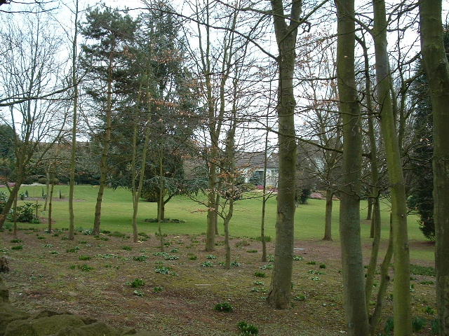
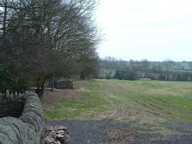
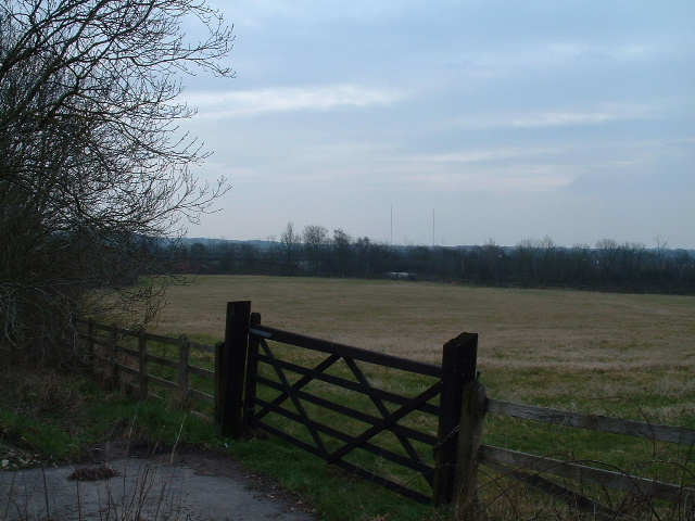
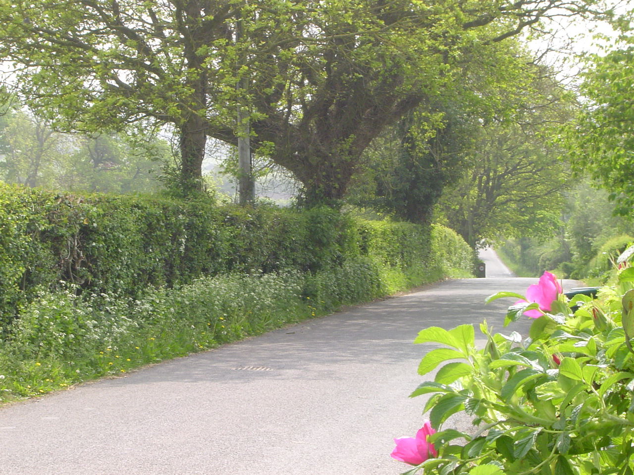
Branch Pool Wood is a picturesque woodland located in Gloucestershire, England. Covering an area of approximately 100 acres, it is one of the largest and most diverse forests in the region. The wood is primarily made up of deciduous trees, including oak, beech, and ash, which provide a vibrant display of colors during the autumn months.
The wood is intersected by several walking trails, making it easily accessible for nature enthusiasts and hikers. These trails wind through the dense vegetation and offer visitors the opportunity to explore the diverse flora and fauna that call the wood home. Birdwatchers will particularly enjoy the wood, as it is home to a variety of species including woodpeckers, owls, and warblers.
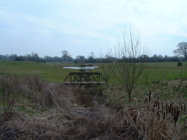
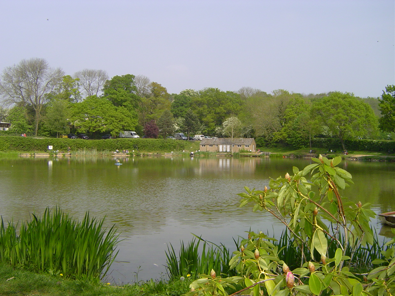
One of the highlights of Branch Pool Wood is the eponymous pool, which is a small body of water located within the forest. The pool is fed by a natural spring and is home to a number of aquatic plants and insects. It also attracts a variety of wildlife, including frogs, newts, and dragonflies.
The wood has a rich history and is believed to have been in existence for centuries. It was once part of a larger estate and was used for timber production. Today, however, it is managed by a local conservation organization, which ensures the preservation of its natural beauty and biodiversity.
Overall, Branch Pool Wood is a haven for nature lovers, offering a tranquil and diverse environment for visitors to explore and appreciate the beauty of Gloucestershire's woodlands.
If you have any feedback on the listing, please let us know in the comments section below.
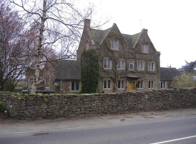
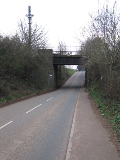
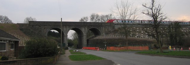
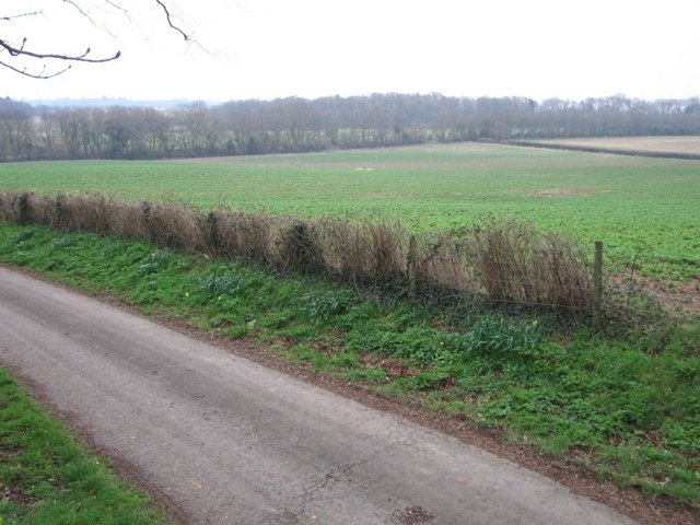
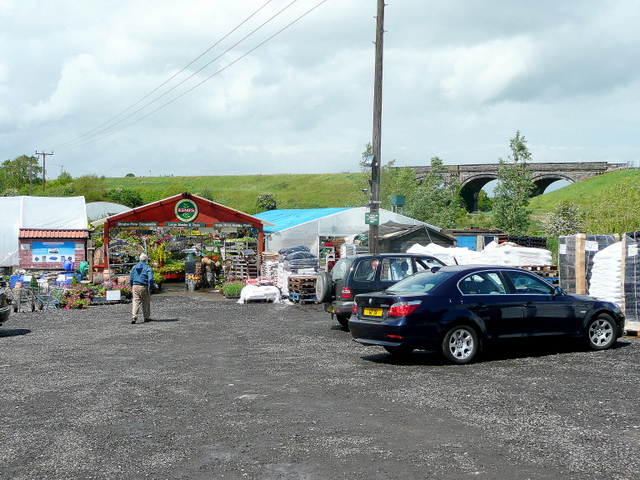
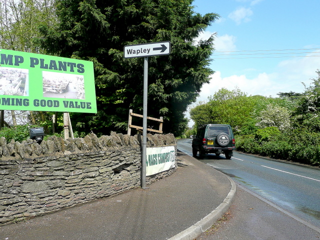
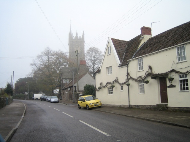
Branch Pool Wood Images
Images are sourced within 2km of 51.512555/-2.4588283 or Grid Reference ST6879. Thanks to Geograph Open Source API. All images are credited.


Branch Pool Wood is located at Grid Ref: ST6879 (Lat: 51.512555, Lng: -2.4588283)
Unitary Authority: South Gloucestershire
Police Authority: Avon and Somerset
What 3 Words
///samples.harmonica.humble. Near Winterbourne, Gloucestershire
Nearby Locations
Related Wikis
Henfield, Gloucestershire
Henfield is a hamlet in the civil parish of Westerleigh and Coalpit Heath, in the South Gloucestershire district, in the ceremonial county of Gloucestershire...
Ram Hill
Ram Hill is a hamlet in the civil parish of Westerleigh and Coalpit Heath, in the South Gloucestershire district, in the ceremonial county of Gloucestershire...

Ram Hill Colliery
Ram Hill Colliery, (grid reference ST679803) was a privately owned colliery in the Coalpit Heath area north-east of Bristol, England. It operated between...

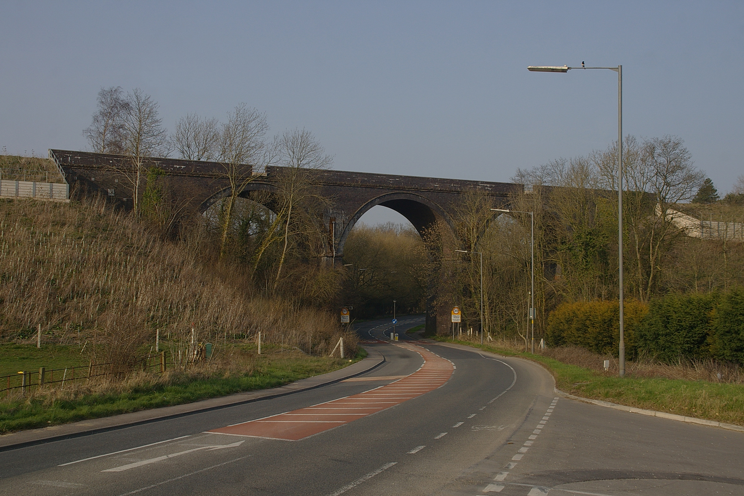
Coalpit Heath railway station
Coalpit Heath railway station served the village of Coalpit Heath, South Gloucestershire, England from 1903 to 1961 on the South Wales Main Line. ��2...
Coalpit Heath
Coalpit Heath is a small village in the civil parish of Westerleigh and Coalpit Heath, in the South Gloucestershire district, in the ceremonial county...
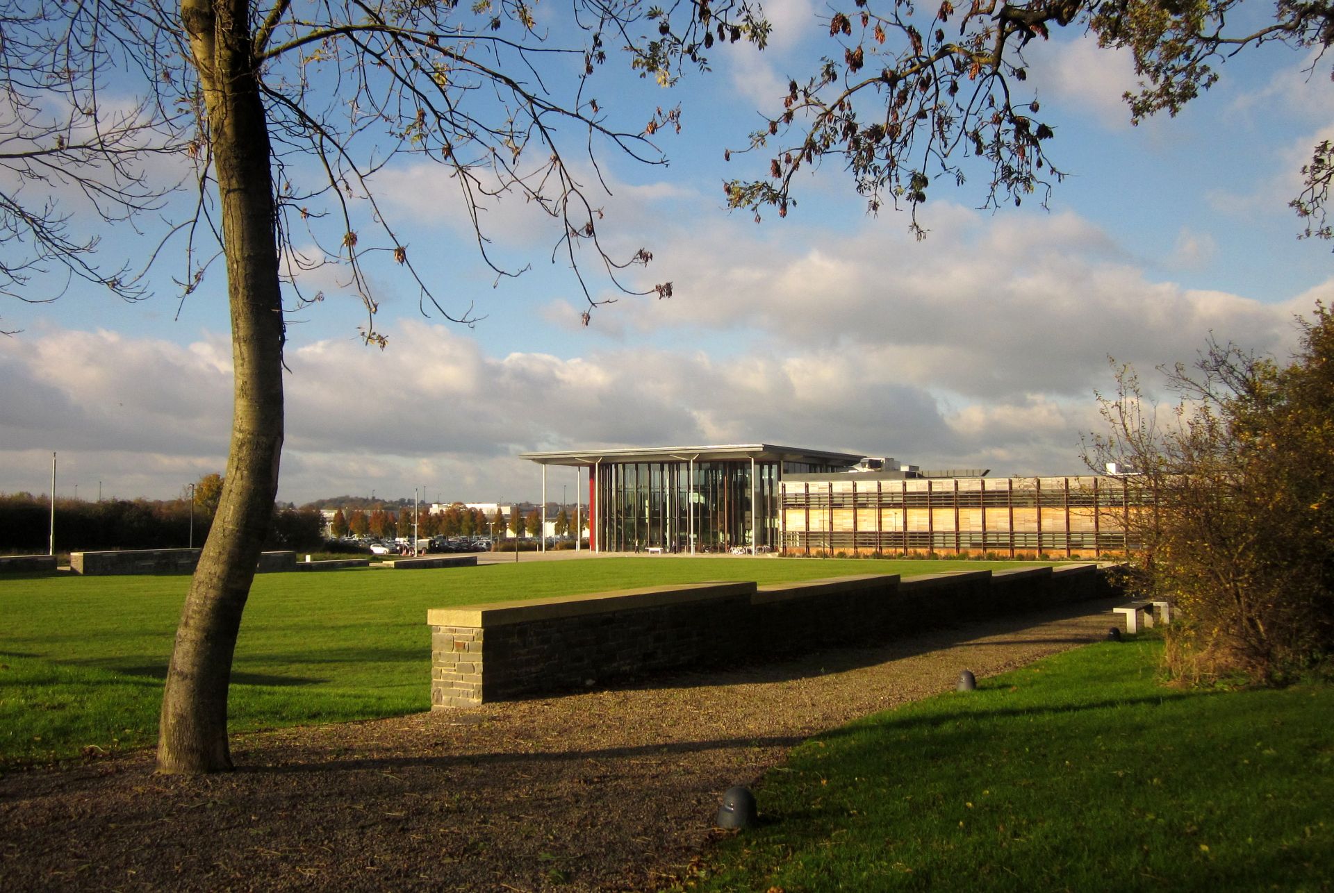
Bristol and Bath Science Park
Bristol and Bath Science Park (BBSP) is a science park in Emersons Green, South Gloucestershire, England, north-east of Bristol and north-west of Bath...
Westerleigh Junction
Westerleigh Junction is a railway junction in Gloucestershire, England, where the Cross Country Route (XCR) from York to Bristol Temple Meads meets the...

Kendleshire
Kendleshire is a small scattered settlement in South Gloucestershire, England, between Winterbourne Down and Henfield. Kendleshire hamlet includes about...
Nearby Amenities
Located within 500m of 51.512555,-2.4588283Have you been to Branch Pool Wood?
Leave your review of Branch Pool Wood below (or comments, questions and feedback).