Ash Brake
Wood, Forest in Somerset
England
Ash Brake
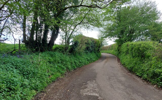
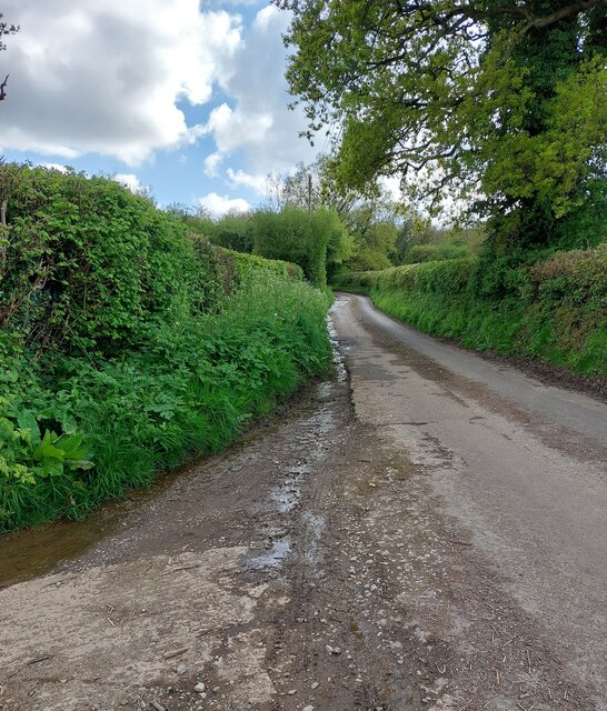
Ash Brake is a woodland area located in Somerset, England. Situated in the heart of the county, it covers a vast area of approximately 200 acres, making it one of the largest woodlands in the region. The forest is known for its dense population of ash trees, hence the name "Ash Brake."
The woodland boasts a rich biodiversity, with a wide variety of flora and fauna inhabiting the area. The dense canopy provided by the ash trees creates a cool and shaded environment, making it an ideal habitat for numerous species of birds, mammals, and insects. Visitors to Ash Brake can expect to encounter a range of wildlife, including deer, foxes, badgers, and various species of birds such as woodpeckers and owls.
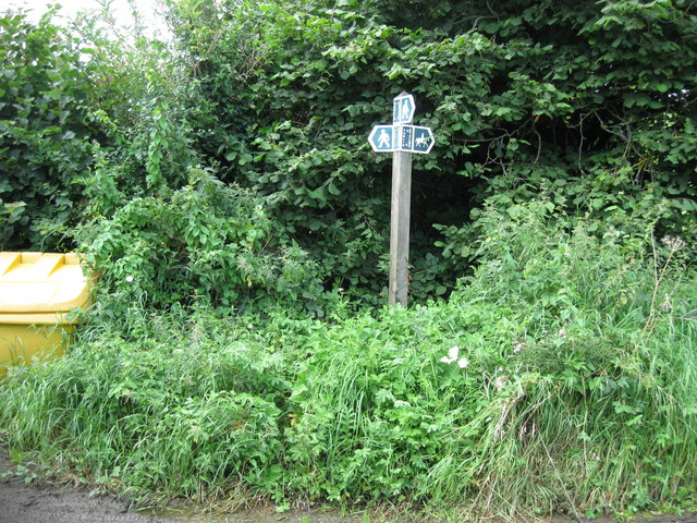
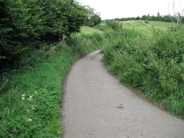
The woodland is crisscrossed by a network of well-maintained walking trails, providing visitors with the opportunity to explore its natural beauty. These trails cater to both casual strollers and avid hikers, offering options for short leisurely walks or longer, more challenging routes. In addition to the walking trails, there are also designated picnic areas and seating spots scattered throughout the forest, allowing visitors to take a break and enjoy the tranquil surroundings.
Ash Brake is a popular destination for nature lovers, photographers, and outdoor enthusiasts who seek solace in the beauty of nature. Its accessibility and natural charm make it an ideal location for a day trip or a weekend getaway. Whether one is looking to immerse themselves in the serenity of the forest or simply enjoy a leisurely stroll, Ash Brake offers a peaceful retreat from the hustle and bustle of everyday life.
If you have any feedback on the listing, please let us know in the comments section below.
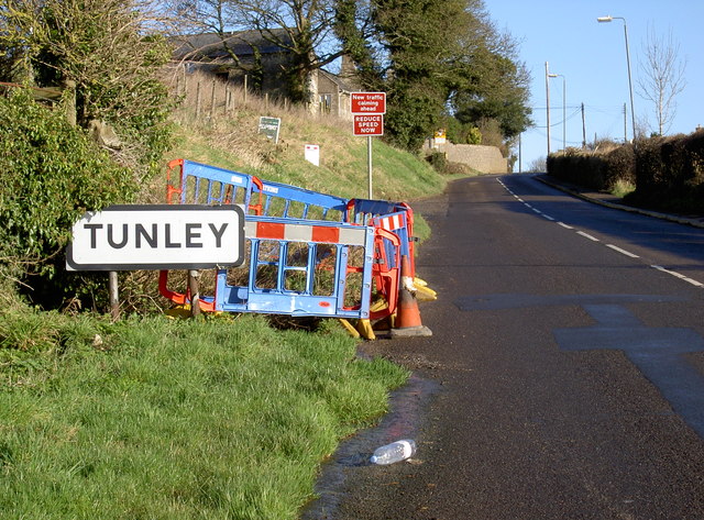
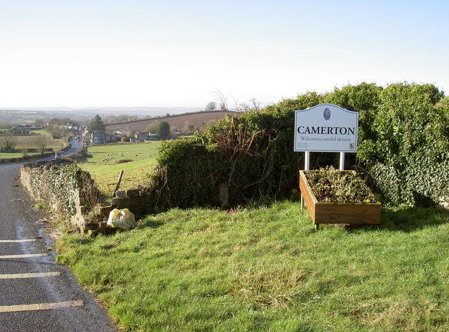
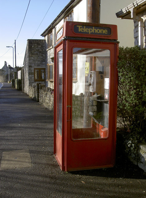
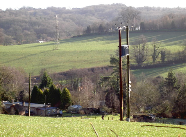
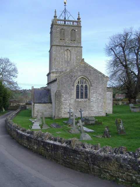
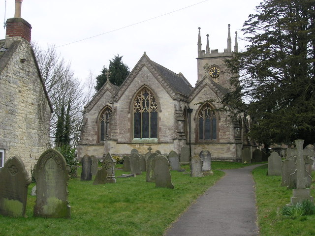
Ash Brake Images
Images are sourced within 2km of 51.338382/-2.4600148 or Grid Reference ST6860. Thanks to Geograph Open Source API. All images are credited.
Ash Brake is located at Grid Ref: ST6860 (Lat: 51.338382, Lng: -2.4600148)
Unitary Authority: Bath and North East Somerset
Police Authority: Avon and Somerset
What 3 Words
///musician.fabricate.latched. Near Priston, Somerset
Related Wikis

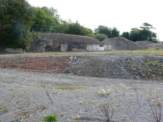
Tunley Camp
Tunley Camp is an vallate Iron Age hill fort situated approximately 0.8 miles (1.3 km) north-east from the small village of Camerton in the Bath and North...
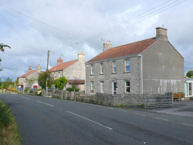
Priston
Priston is a civil parish and village 4 miles (6 km) south west of Bath in Bath and North East Somerset, which is within the English ceremonial county...
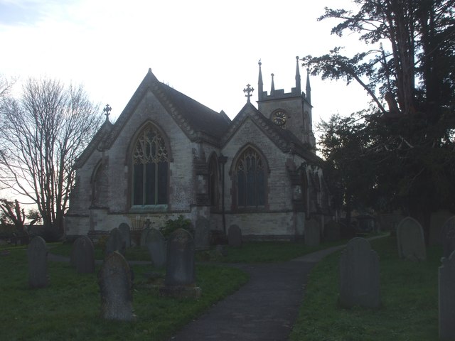
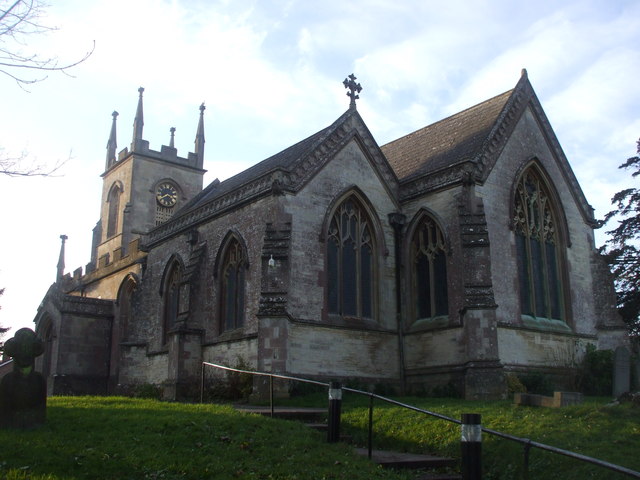
Church of St Luke and St Andrew, Priston
The Church of St Luke and St Andrew in Priston, Somerset, England has a nave dating from the 12th century, on the site of an earlier Norman church. It...
Timsbury, Somerset
Timsbury is a village and civil parish in England, in the Bath and North East Somerset unitary authority of the county of Somerset. It lies 8 miles (13...
Nearby Amenities
Located within 500m of 51.338382,-2.4600148Have you been to Ash Brake?
Leave your review of Ash Brake below (or comments, questions and feedback).