Evesbatch Coppice
Wood, Forest in Herefordshire
England
Evesbatch Coppice
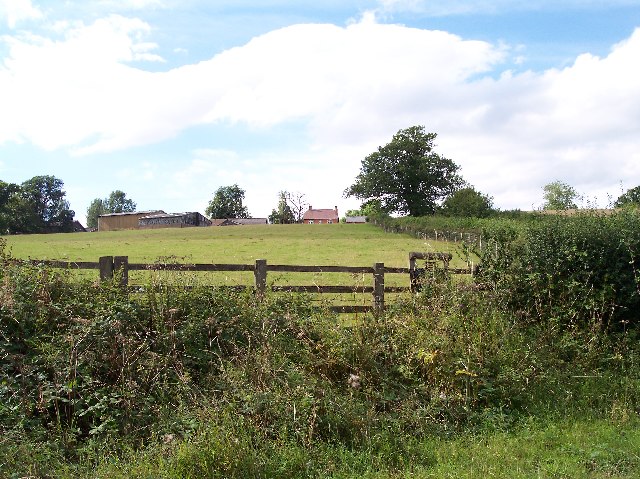
Evesbatch Coppice is a picturesque woodland located in the county of Herefordshire, England. Situated near the village of Evesbatch, this ancient coppice is renowned for its natural beauty and diverse range of flora and fauna.
Covering an area of approximately 50 acres, Evesbatch Coppice is predominantly composed of broadleaf trees such as oak, ash, and beech. The dense canopy created by these trees provides a cool and shaded environment, perfect for leisurely walks and nature exploration.
The woodland is crisscrossed with a network of well-maintained footpaths and trails, allowing visitors to explore its many hidden corners and discover its hidden treasures. The paths wind through the coppice, passing by babbling brooks, wildflower meadows, and small ponds, adding to the enchanting atmosphere of the forest.
Evesbatch Coppice is a designated Site of Special Scientific Interest (SSSI), owing to its rich biodiversity and ecological importance. It is home to a wide variety of plant species, including bluebells, wood anemones, and primroses, which create a vibrant and colorful display during the spring months. The woodland also provides a habitat for numerous animal species, including birds, butterflies, and small mammals.
Visitors to Evesbatch Coppice can enjoy a range of activities, including birdwatching, photography, and picnicking. The peaceful and tranquil ambiance of the woodland makes it an ideal spot for relaxation and reflection, away from the hustle and bustle of modern life.
Overall, Evesbatch Coppice is a natural gem in Herefordshire, offering visitors an opportunity to connect with nature and experience the beauty of a traditional English woodland.
If you have any feedback on the listing, please let us know in the comments section below.
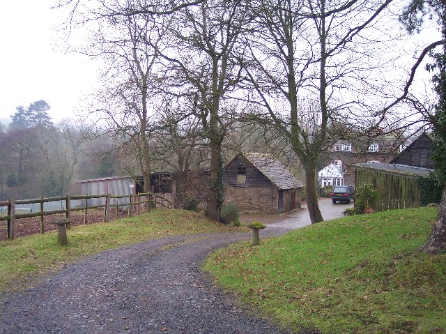
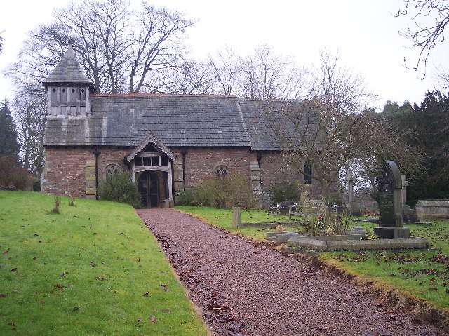
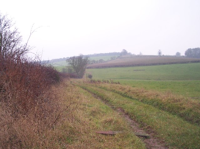
Evesbatch Coppice Images
Images are sourced within 2km of 52.131263/-2.4680822 or Grid Reference SO6848. Thanks to Geograph Open Source API. All images are credited.


Evesbatch Coppice is located at Grid Ref: SO6848 (Lat: 52.131263, Lng: -2.4680822)
Unitary Authority: County of Herefordshire
Police Authority: West Mercia
What 3 Words
///amount.ponies.resources. Near Evesbatch, Herefordshire
Nearby Locations
Related Wikis

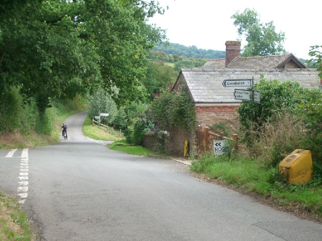
Evesbatch
Evesbatch is a village and civil parish 12 miles (19 km) north east of Hereford, in the county of Herefordshire, England. In 2001 the parish had a population...

Halmond's Frome
Halmond's Frome is a hamlet in the civil parish of Bishop's Frome in Herefordshire, England, and is 11 miles (18 km) north-east from the city and county...

A4103 road
The A4103 is an A-road which runs from Worcester to the A480 in Stretton Sugwas, a village 2 miles (3.2 km) west of Hereford. The road is a primary route...

Fromes Hill
Fromes Hill is a hamlet in the civil parish of Bishop's Frome, in Herefordshire, England, and is about 15 miles (24 km) east from the city and county town...
Nearby Amenities
Located within 500m of 52.131263,-2.4680822Have you been to Evesbatch Coppice?
Leave your review of Evesbatch Coppice below (or comments, questions and feedback).