Shippon's Field
Wood, Forest in Lancashire
England
Shippon's Field

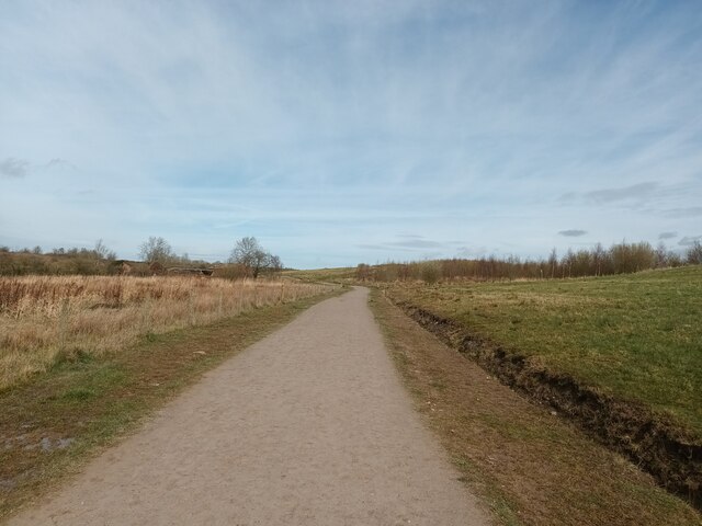
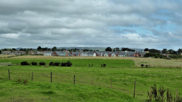
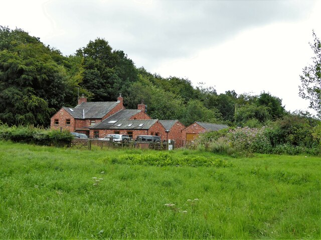
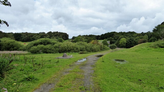
Shippon's Field is a picturesque woodland area located in Lancashire, England. Spanning across a vast expanse, it is a haven for nature enthusiasts and outdoor adventurers alike. The field is predominantly covered in dense woodlands, creating a serene and tranquil atmosphere that offers a respite from the bustling city life.
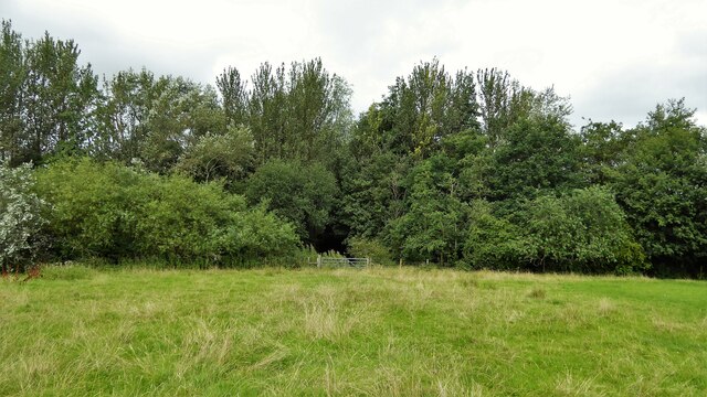
The forest is home to a diverse range of flora and fauna, making it a haven for wildlife. Visitors can expect to encounter a plethora of native plants such as oak, beech, and birch trees, which dominate the landscape and provide a majestic canopy overhead. The forest floor is adorned with a rich carpet of mosses, ferns, and wildflowers, offering a fantastic opportunity for nature lovers to explore and appreciate the area's biodiversity.
Shippon's Field is also a popular destination for outdoor activities. Numerous walking and hiking trails crisscross the area, allowing visitors to immerse themselves in the natural beauty and discover hidden gems along the way. The forest's diverse terrain, which includes rolling hills and meandering streams, offers a perfect setting for adventure seekers to engage in activities like mountain biking, horse riding, and bird watching.
The field's accessibility is another notable feature, with well-maintained paths and designated parking areas for visitors. Additionally, there are picnic spots strategically placed throughout the forest, providing a perfect opportunity for families and friends to enjoy a peaceful lunch amidst the beautiful surroundings.
In summary, Shippon's Field in Lancashire is a captivating woodland area that offers a blend of natural beauty and recreational opportunities. Whether it's exploring the diverse flora and fauna or engaging in outdoor activities, this forest is a must-visit destination for nature enthusiasts and adventure lovers alike.
If you have any feedback on the listing, please let us know in the comments section below.
Shippon's Field Images
Images are sourced within 2km of 53.545707/-2.4836262 or Grid Reference SD6805. Thanks to Geograph Open Source API. All images are credited.


Shippon's Field is located at Grid Ref: SD6805 (Lat: 53.545707, Lng: -2.4836262)
Unitary Authority: Bolton
Police Authority: Greater Manchester
What 3 Words
///social.august.blur. Near Atherton, Manchester
Nearby Locations
Related Wikis

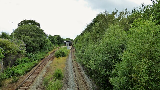
Chequerbent railway station (Bolton and Leigh Railway)
Chequerbent railway station was a railway station in Westhoughton to the south-west of Bolton, Greater Manchester, on the line between Bolton and Leigh...

Over Hulton
Over Hulton is a suburb of Westhoughton within the Metropolitan Borough of Bolton, in Greater Manchester, England.Historically part of Lancashire, it...
Chequerbent railway station
Chequerbent railway station was in Westhoughton to the south-west of Bolton, Greater Manchester, on a deviation of the original Bolton Great Moor St to...
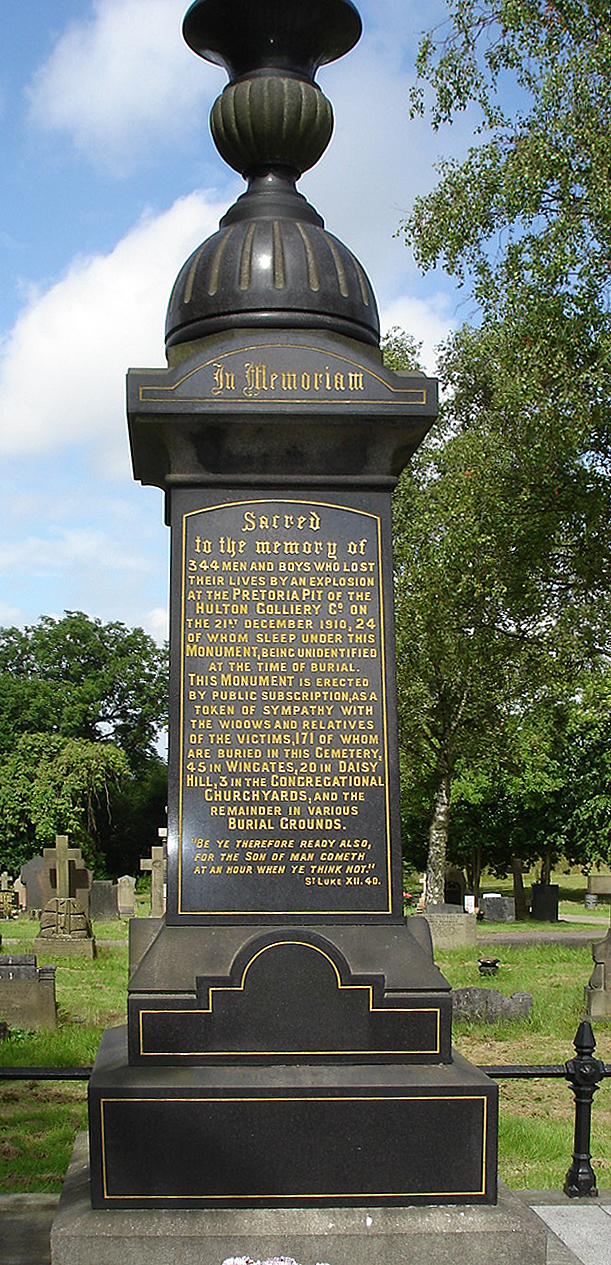
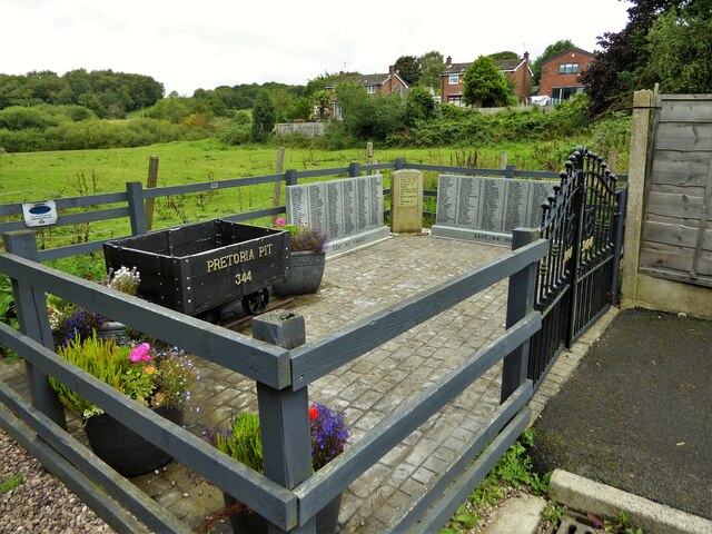
Pretoria Pit disaster
The Pretoria Pit disaster was a mining accident on 21 December 1910, when an underground explosion occurred at the Hulton Colliery Bank Pit No. 3, known...
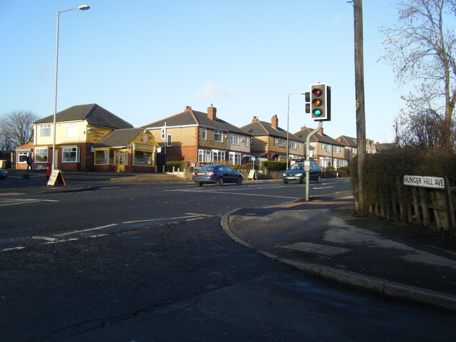
Hunger Hill, Greater Manchester
Hunger Hill is a settlement in the Bolton district, of Greater Manchester, England. It is about 11 mi (18 km) northwest of Manchester city centre. and...

Hag Fold railway station
Hag Fold railway station is one of the local stations that lie on the Atherton line, between Wigan and Manchester, England. The station is located 13 miles...
Atherton Laburnum Rovers F.C.
Atherton Laburnum Rovers Football Club is a football club based in Atherton, Greater Manchester, England. Full members of the Lancashire County FA, they...

Atherton railway station
Atherton railway station (formerly Atherton Central) serves the town of Atherton, Greater Manchester, England. It lies on the line between Wigan and Manchester...
Nearby Amenities
Located within 500m of 53.545707,-2.4836262Have you been to Shippon's Field?
Leave your review of Shippon's Field below (or comments, questions and feedback).