Bank Plantation
Wood, Forest in Westmorland Eden
England
Bank Plantation
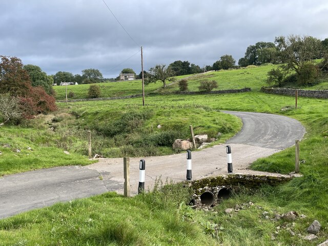
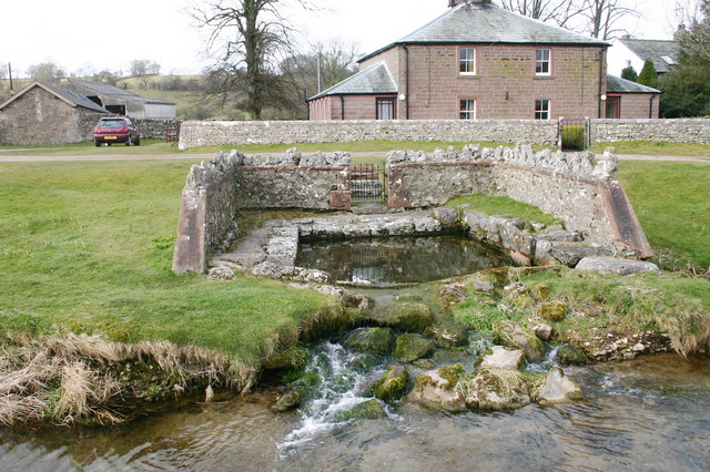
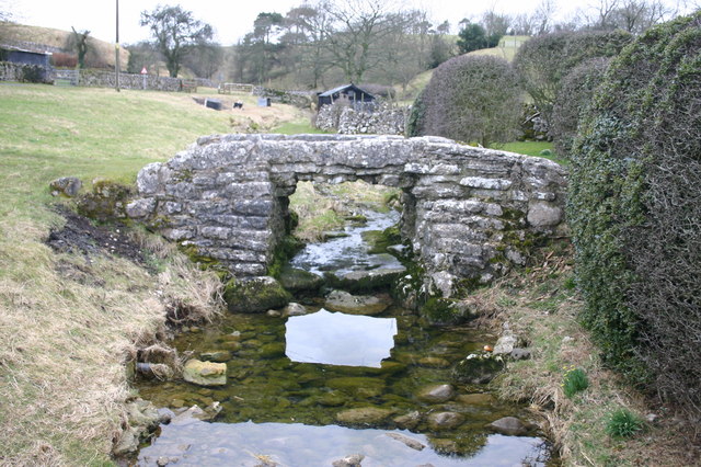
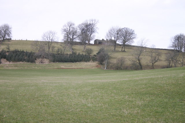
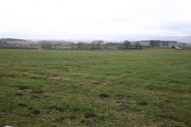
Bank Plantation is a vast woodland located in the idyllic region of Westmorland, known for its picturesque landscapes and rich natural heritage. Spread across a sprawling area, this forested area is a haven for nature enthusiasts and offers a tranquil escape from the bustling city life.
The plantation is primarily composed of a diverse range of trees, including oak, maple, beech, and pine, creating a mesmerizing mosaic of colors during the changing seasons. The forest floor is carpeted with a variety of wildflowers and ferns, adding to the enchanting ambiance of the place.
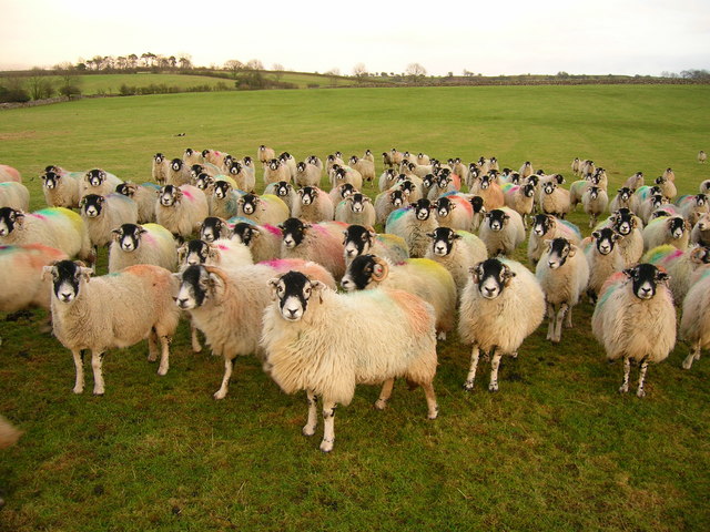
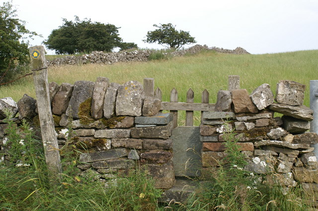
Several walking trails wind their way through the plantation, allowing visitors to explore its hidden treasures at their own pace. These trails are well-maintained, making it accessible to both casual walkers and avid hikers. Along the paths, one can encounter a multitude of wildlife, ranging from deer and rabbits to an array of bird species, making it a paradise for wildlife enthusiasts and birdwatchers.
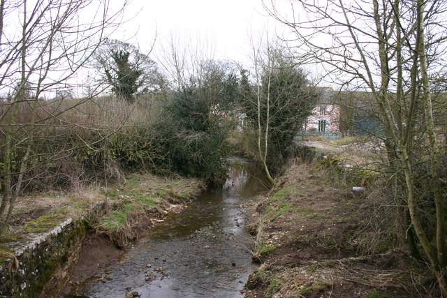
Bank Plantation is not only a natural sanctuary but also serves as an important ecological resource. The forest plays a vital role in water filtration, maintaining the local ecosystem's balance, and mitigating climate change impacts by absorbing carbon dioxide.
Moreover, the plantation also offers various recreational activities, including camping and picnicking areas, making it an ideal destination for family outings and outdoor adventures. The serene atmosphere, combined with the breathtaking beauty of the surroundings, creates a memorable experience for all who visit Bank Plantation in Westmorland.
If you have any feedback on the listing, please let us know in the comments section below.
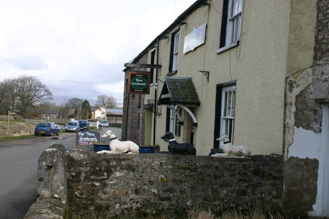
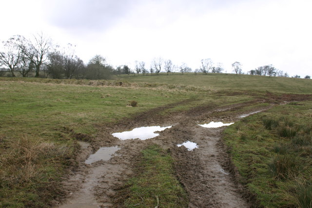
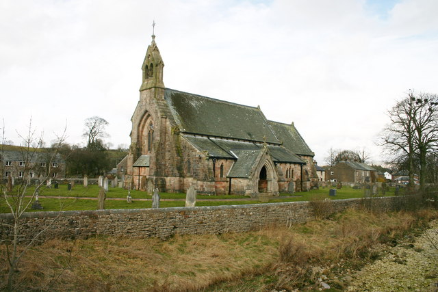
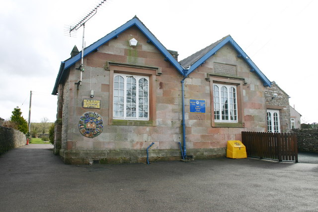
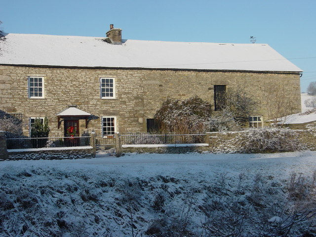
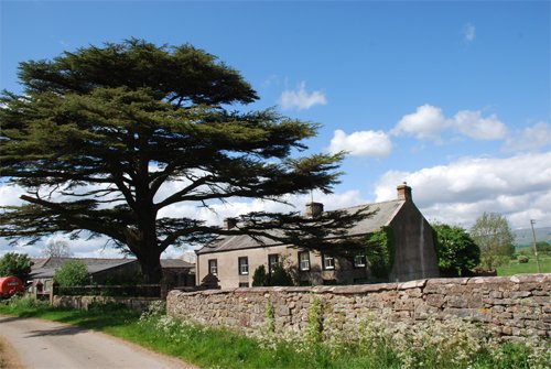
Bank Plantation Images
Images are sourced within 2km of 54.516996/-2.4976166 or Grid Reference NY6713. Thanks to Geograph Open Source API. All images are credited.

Bank Plantation is located at Grid Ref: NY6713 (Lat: 54.516996, Lng: -2.4976166)
Administrative County: Cumbria
District: Eden
Police Authority: Cumbria
What 3 Words
///sounding.refuses.digests. Near Appleby-in-Westmorland, Cumbria
Nearby Locations
Related Wikis

Great Asby
Great Asby is a village in Cumbria, England. Historically part of Westmorland, it is located approximately 15 miles (24 km) south east of Penrith and approximately...

Pate Hole
Pate Hole is a solutional cave located adjacent to Asby Gill 1 kilometre (0.62 mi) south of Great Asby in Cumbria, England. It is 970 metres (3,180 ft...

Asby, Eden
Asby is a civil parish in the Eden district of Cumbria, England. Historically part of Westmorland, it includes the villages of Great Asby and Little Asby...

Drybeck
Drybeck is a hamlet in the Eden district in the English county of Cumbria. It is near the town of Appleby-in-Westmorland. It is on Dry Beck and has a...
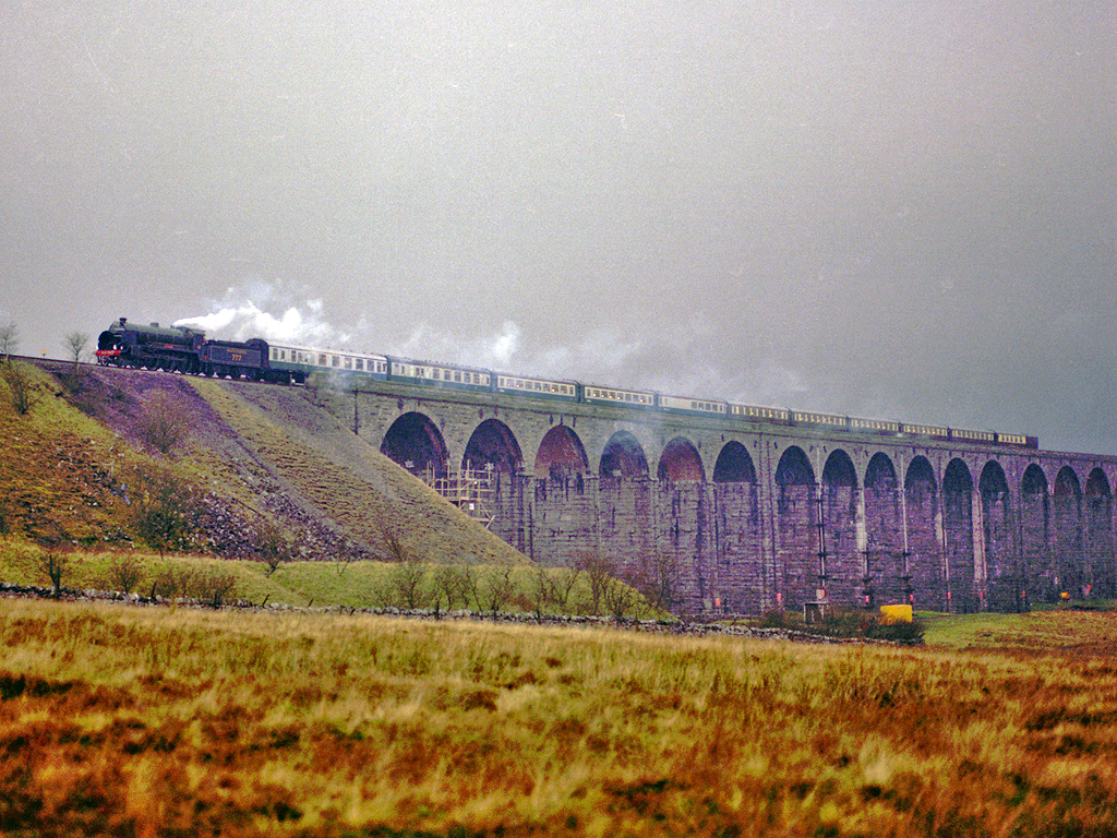
Settle–Carlisle line
The Settle–Carlisle line (also known as the Settle and Carlisle (S&C)) is a 73-mile-long (117 km) main railway line in northern England. The route, which...

Hoff, Cumbria
Hoff is a hamlet and civil parish in the Eden district of the county of Cumbria, England. At the 2001 census the parish had a population of 189, decreasing...

Ormside railway station
Ormside railway station was a station at Ormside, England, on the Midland Railway Settle-Carlisle Line. It was located 33+1⁄4 miles (53.5 km) south of...
Little Ormside
Little Ormside is a hamlet in the parish of Ormside, in the Eden District, in the English county of Cumbria. == Location == It is a few miles away from...
Nearby Amenities
Located within 500m of 54.516996,-2.4976166Have you been to Bank Plantation?
Leave your review of Bank Plantation below (or comments, questions and feedback).