Rowley Wood

Wood, Forest in Westmorland Eden

England

Rowley Wood

Footbridge near Dougles Ing The footbridge carries the public footpath from Rutter to Hoff over Hoff Beck.
Erosion has undermined the bridge pier to the extent that collapse is possible the next time the beck is in flood unless repairs are undertaken in the meantime.
Footbridge near Dougles Ing Credit: Adrian Taylor

Rowley Wood is a small forest located in the county of Westmorland, England. Situated on the outskirts of the village of Wood, it covers an area of approximately 100 acres. The forest is part of the larger Rowley Wood complex, which includes several other woodlands in the region.

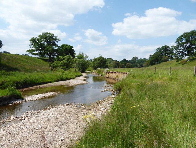
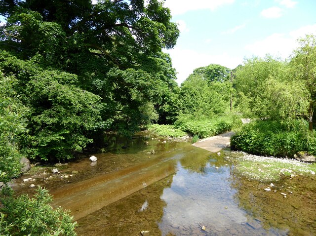
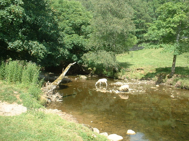
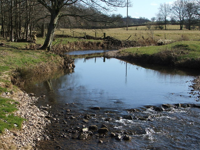
Rowley Wood is primarily composed of broadleaf trees, such as oak, ash, and beech, which create a dense canopy. These trees provide habitat for a wide variety of bird species, including woodpeckers, owls, and songbirds. The forest floor is covered with a rich carpet of moss, ferns, and wildflowers, creating a vibrant and diverse ecosystem.

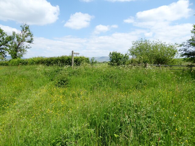
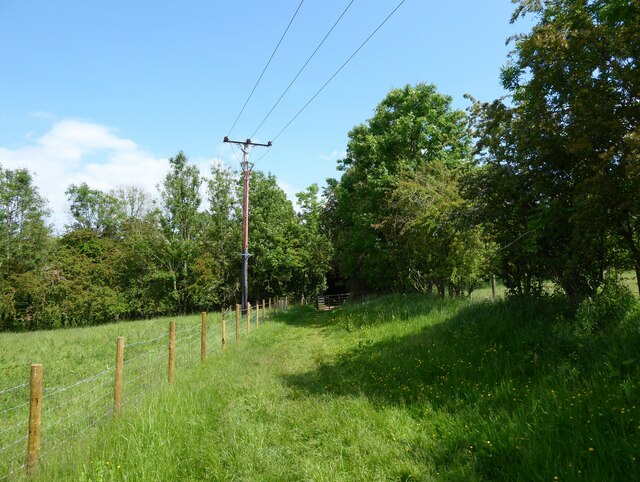
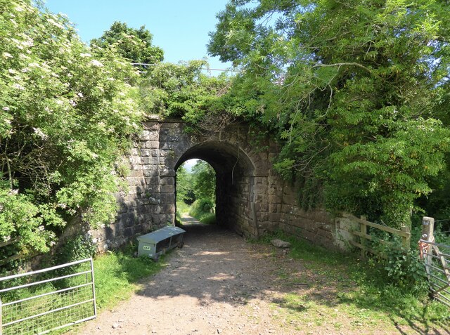
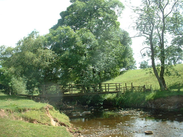
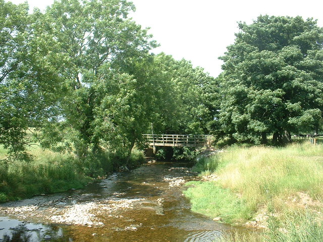
The woodland is crisscrossed by a network of well-maintained footpaths, allowing visitors to explore its natural beauty. These paths lead to secluded glades, tranquil ponds, and picturesque viewpoints. Rowley Wood is a popular destination for nature lovers, hikers, and birdwatchers, who come to enjoy the peaceful atmosphere and observe the local wildlife.

The forest is also home to a number of mammals, including deer, foxes, and squirrels. It provides an important corridor for wildlife movement, connecting various habitats in the surrounding countryside. Rowley Wood is managed by a local conservation organization, which works to preserve and enhance its natural features through sustainable forestry practices.

Overall, Rowley Wood is a cherished natural treasure in Westmorland, offering a peaceful retreat and a haven for wildlife in the heart of the countryside.

If you have any feedback on the listing, please let us know in the comments section below.
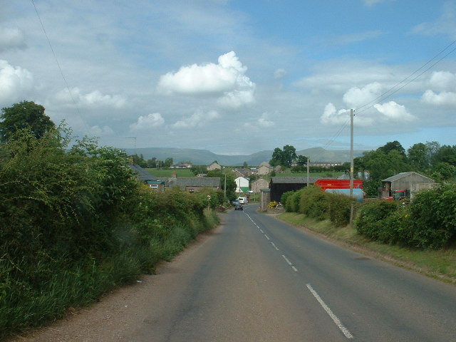
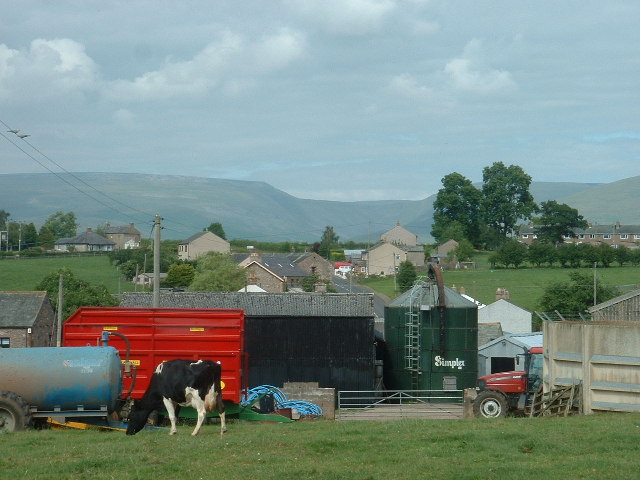
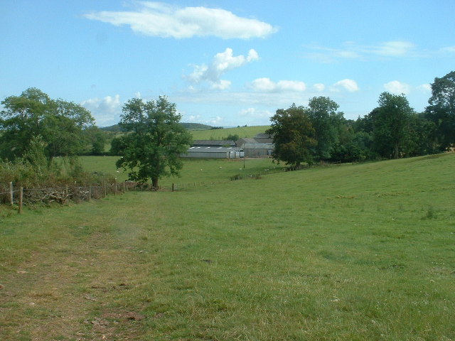
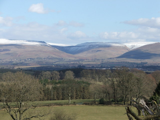
Rowley Wood Images

Images are sourced within 2km of 54.551577/-2.4980221 or Grid Reference NY6717. Thanks to Geograph Open Source API. All images are credited.

Footbridge near Dougles Ing The footbridge carries the public footpath from Rutter to Hoff over Hoff Beck.
Erosion has undermined the bridge pier to the extent that collapse is possible the next time the beck is in flood unless repairs are undertaken in the meantime.
Footbridge near Dougles Ing
The footbridge carries the public footpath from Rutter to Hoff over Hoff Beck. Erosion has undermined the bridge pier to the extent that collapse is possible the next time the beck is in flood unless repairs are undertaken in the meantime.
Hoff Beck near Rutter
Rutter Mill Ford Rutter Mill Ford carries a minor road across Hoff Beck a short distance below Rutter Force.
Warm dry weather has encouraged the formation of a large mat of water crowfoot (with white flowers) in the slow moving water.
Rutter Mill Ford
Rutter Mill Ford carries a minor road across Hoff Beck a short distance below Rutter Force. Warm dry weather has encouraged the formation of a large mat of water crowfoot (with white flowers) in the slow moving water.
Public Footpath, Broadmire Road The lush summer vegetation on the wide grass verge of Broadmire Road is crossed by a public footpath leading to a stile.  The footpath sign points to Donkeys Nest.
Public Footpath, Broadmire Road
The lush summer vegetation on the wide grass verge of Broadmire Road is crossed by a public footpath leading to a stile. The footpath sign points to Donkeys Nest.
Footpath near Ormside Hall Bridge This is the public footpath from Appleby to Great Ormside.  Beyond the gate the footpath passes under the Settle to Carlisle railway (see photograph <a href="https://www.geograph.org.uk/photo/6973171">NY6917 : Ormside Hall Bridge</a>).
Footpath near Ormside Hall Bridge
This is the public footpath from Appleby to Great Ormside. Beyond the gate the footpath passes under the Settle to Carlisle railway (see photograph NY6917 : Ormside Hall Bridge).
Ormside Hall Bridge Bridge number 230, Ormside Hall Bridge carries the Settle to Carlisle railway over a farm track and the public footpath from Appleby to Great Ormside.
Ormside Hall Bridge
Bridge number 230, Ormside Hall Bridge carries the Settle to Carlisle railway over a farm track and the public footpath from Appleby to Great Ormside.
Rutter Force Waterfalls on Hoff Beck. The mill to the right was used to generate electricity for the nearby village of Great Asby. There is now a tearoom at Rutter.
Update to comment [Feb 07]: The tearoom is no longer open as it's been changed to a self-catering apartment. The mill in the photo is also now a self-catering apartment.
Rutter Force
Waterfalls on Hoff Beck. The mill to the right was used to generate electricity for the nearby village of Great Asby. There is now a tearoom at Rutter. Update to comment [Feb 07]: The tearoom is no longer open as it's been changed to a self-catering apartment. The mill in the photo is also now a self-catering apartment.
Hoff Beck, near Appleby
Footbridge on Hoff Beck, near Appleby
Footbridge, Hoff Beck at Hoff, near Appleby Hoff Village, and the pub, are just beyond the trees.
Footbridge, Hoff Beck at Hoff, near Appleby
Hoff Village, and the pub, are just beyond the trees.
Burrells Village, near Appleby Looking north
Burrells Village, near Appleby
Looking north
Burrells Village, near Appleby Looking north. The deep incut of High Cup Nick is visible on the horizon
Burrells Village, near Appleby
Looking north. The deep incut of High Cup Nick is visible on the horizon
Lookingflatt Farm, near Hoff Looking east
Lookingflatt Farm, near Hoff
Looking east
High Cup Nick with light dusting of snow
Hoff Beck
Hoff Beck
The Entrance to Wild Rose Caravan Park
Railway Bridge at Leazes Hill, Great Ormside
Southfield Farm
Southfield Farm
Show me another place!

Rowley Wood is located at Grid Ref: NY6717 (Lat: 54.551577, Lng: -2.4980221)

Administrative County: Cumbria

District: Eden

Police Authority: Cumbria

What 3 Words

///riverboat.issues.truly. Near Appleby-in-Westmorland, Cumbria

Nearby Locations

Rowley Wood Hoff

Related Wikis

Hoff, Cumbria

Hoff is a hamlet and civil parish in the Eden district of the county of Cumbria, England. At the 2001 census the parish had a population of 189, decreasing...

Burrells

Burrells is a hamlet in the Eden District, in the English county of Cumbria. Burrells is located on the B6260 Road in between the town of Appleby-in-Westmorland...

Ormside railway station

Ormside railway station was a station at Ormside, England, on the Midland Railway Settle-Carlisle Line. It was located 33+1⁄4 miles (53.5 km) south of...

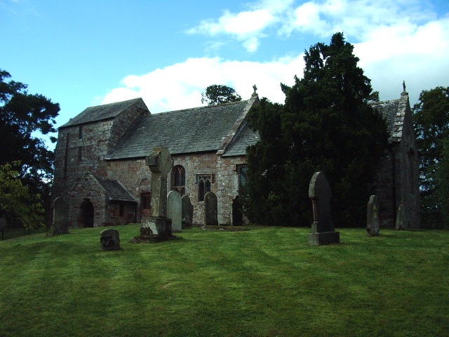
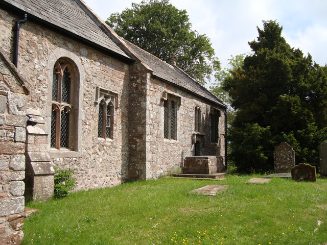
St James' Church, Great Ormside

St James' Church is in the village of Great Ormside, Cumbria, England. It is an active Anglican parish church in the deanery of Appleby, the archdeaconry...

Great Ormside

Great Ormside is a small village in the parish of Ormside, in the Eden District, in the English county of Cumbria. It is a few miles away from the small...

Drybeck

Drybeck is a hamlet in the Eden district in the English county of Cumbria. It is near the town of Appleby-in-Westmorland. It is on Dry Beck and has a...

Ormside

Ormside is a civil parish in the Eden District of Cumbria, England, which includes the village of Great Ormside and the hamlet of Little Ormside. It had...
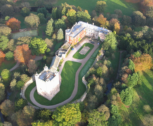
Appleby Castle

Appleby Castle is in the town of Appleby-in-Westmorland overlooking the River Eden (grid reference NY685200). It consists of a 12th-century castle keep...

Nearby Amenities

Located within 500m of 54.551577,-2.4980221
Hoff
Place: village
Source: NPE
Wikidata: Q1754848
Wikipedia: en:Hoff, Cumbria
Lat/Long: 54.5521804/-2.5030368
Ford: yes
Lat/Long: 54.5482693/-2.5016178
Bus Stop
New Inn
Bench: no
Covered: no
Local Ref: AT
Naptan AtcoCode: 090074071046
Naptan Bearing: N
Naptan CommonName: New Inn
Naptan Indicator: At
Naptan Landmark: New Inn PH
Naptan NaptanCode: cumdadgj
Naptan Street: A685
Naptan Verified: no
Shelter: no
Source: naptan_import
Lat/Long: 54.5522084/-2.5039447
Post Box
Ref: CA16 321
Lat/Long: 54.5521714/-2.5040232
Hoff Beck Riverside Walk
Hiking: yes
Information: map
Tourism: information
Lat/Long: 54.5522232/-2.5039139
Power: pole
Lat/Long: 54.5522662/-2.5045111
Power: pole
Lat/Long: 54.552335/-2.505652
The data included in this document is from www.openstreetmap.org. The data is made available under ODbL.

Have you been to Rowley Wood?

Leave your review of Rowley Wood below (or comments, questions and feedback).