Netherton Coppice

Wood, Forest in Gloucestershire Forest of Dean

England

Netherton Coppice

St Mary's church, Kempley St Mary's church in Kempley dates from the early 12th century and has some remarkable medieval frescos on its interior walls.  Wild daffodils are widespread in the corner of north-west Gloucestershire at this time of year.
St Mary's church, Kempley Credit: Philip Halling

Netherton Coppice is a woodland area located in the county of Gloucestershire, England. Spanning over an approximate area of 50 hectares, this coppice is a significant part of the region's natural landscape. Situated near the village of Netherton, the coppice is surrounded by picturesque countryside and is easily accessible to both locals and visitors.

The woodland is predominantly composed of a variety of native tree species, including oak, beech, and ash. These trees, some of which are several centuries old, provide a dense canopy that creates a cool and shaded environment within the coppice. The forest floor is covered with a rich layer of leaf litter and moss, creating a natural habitat for a diverse range of flora and fauna.

Netherton Coppice is known for its biodiversity and is home to a plethora of wildlife. It provides an ideal habitat for numerous bird species, such as woodpeckers, owls, and various songbirds. Additionally, the woodland is inhabited by small mammals like foxes, badgers, and rabbits. The coppice is also abundant in insect life, including butterflies, beetles, and spiders.

The woodland offers numerous recreational opportunities for visitors. There are well-maintained footpaths and trails that wind through the coppice, providing scenic walks and opportunities for nature enthusiasts to explore the area. Netherton Coppice is also a popular spot for birdwatching and photography. With its tranquil and serene atmosphere, the woodland provides a peaceful escape from the hustle and bustle of daily life.

Overall, Netherton Coppice is a haven of natural beauty and biodiversity in Gloucestershire. It serves as an important ecological site and offers a wide range of recreational activities for people to enjoy.

If you have any feedback on the listing, please let us know in the comments section below.

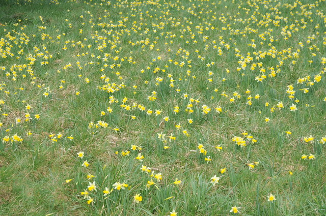
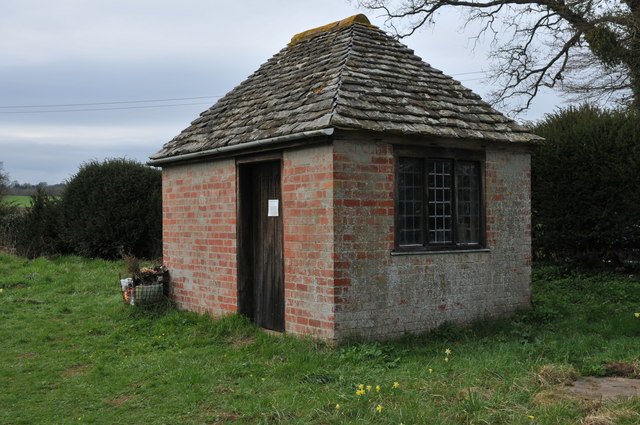
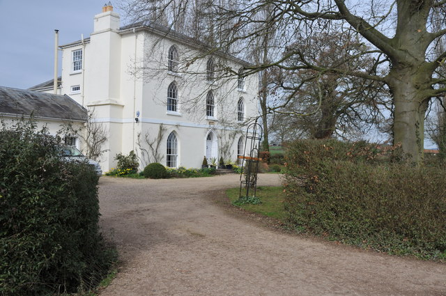
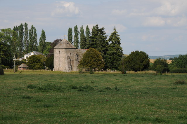
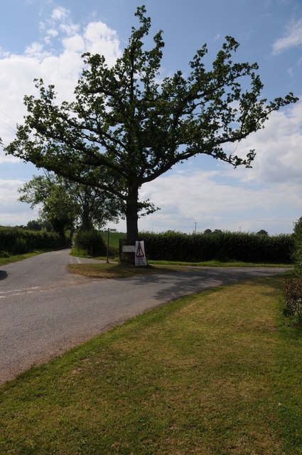
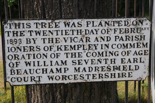
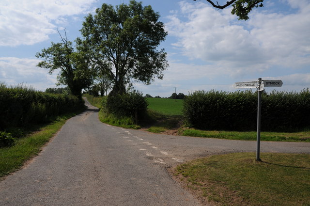
Netherton Coppice Images

Images are sourced within 2km of 51.991634/-2.4691582 or Grid Reference SO6732. Thanks to Geograph Open Source API. All images are credited.

St Mary's church, Kempley St Mary's church in Kempley dates from the early 12th century and has some remarkable medieval frescos on its interior walls.  Wild daffodils are widespread in the corner of north-west Gloucestershire at this time of year.
St Mary's church, Kempley
St Mary's church in Kempley dates from the early 12th century and has some remarkable medieval frescos on its interior walls. Wild daffodils are widespread in the corner of north-west Gloucestershire at this time of year.
Interior of Kempley church The Norman chancel arch in St Mary's church, Kempley.
Interior of Kempley church
The Norman chancel arch in St Mary's church, Kempley.
East window, St Mary's church, Kempley The stained glass east window in the 12th century church of St Mary's in Kempley.
East window, St Mary's church, Kempley
The stained glass east window in the 12th century church of St Mary's in Kempley.
Window in Kempley church Stained glass window in the 12th century St Mary's church in Kempley.
Window in Kempley church
Stained glass window in the 12th century St Mary's church in Kempley.
Window in Kempley church Stained glass window of St George in the 12th century church is St Mary's, Kempley.
Window in Kempley church
Stained glass window of St George in the 12th century church is St Mary's, Kempley.
War Memorial, Kempley church Names on a war memorial inside St Mary's church, Kempley.
War Memorial, Kempley church
Names on a war memorial inside St Mary's church, Kempley.
Wild daffodils, Kempley churchyard Wild daffodils in bloom in a corner of Kempley churchyard.
Wild daffodils, Kempley churchyard
Wild daffodils in bloom in a corner of Kempley churchyard.
Shed in Kempley churchyard This brick-built shed stands in the north part of Kempley churchyard.
Shed in Kempley churchyard
This brick-built shed stands in the north part of Kempley churchyard.
Old Vicarage, Kempley This former vicarage with Gothic-style windows is situated opposite St Mary's church, Kempley.
Old Vicarage, Kempley
This former vicarage with Gothic-style windows is situated opposite St Mary's church, Kempley.
St Mary's church, Kempley St Mary's church in Kempley viewed from the road junction to the west.
St Mary's church, Kempley
St Mary's church in Kempley viewed from the road junction to the west.
Oak tree on a road junction A plaque in front of this tree on an island within a road junction informs that it was planted by the vicar and parishioners of Kempley on 20 February 1893 to commemorate the coming of age of William, Seventh Earl Beauchamp of Madresfield Court in Worcestershire. See: <a href="https://www.geograph.org.uk/photo/2523837">SO6631 : Plaque on an oak tree, Kempley</a>
Oak tree on a road junction
A plaque in front of this tree on an island within a road junction informs that it was planted by the vicar and parishioners of Kempley on 20 February 1893 to commemorate the coming of age of William, Seventh Earl Beauchamp of Madresfield Court in Worcestershire. See: SO6631 : Plaque on an oak tree, Kempley
Plaque on an oak tree, Kempley See: <a href="https://www.geograph.org.uk/photo/2523834">SO6631 : Oak tree on a road junction</a>
Plaque on an oak tree, Kempley
Road junction at Kempley Roads leading to Much Marcle, Kempley and Dymock from this road junction.
Road junction at Kempley
Roads leading to Much Marcle, Kempley and Dymock from this road junction.
St Mary's church, Kempley Built around 1130 probably replacing an earlier Saxon church. 
It's simple plan with an aisleless nave and rectangular chancel is similar to older Saxon churches, but the elaborate decoration of the arches and the tympanum over the south door suggest a wealthy patronage.
<a href="https://www.geograph.org.uk/photo/2596812">SO6631 : "Dymock School" Tympanum, St Mary's, Kempley</a>
<a href="https://www.geograph.org.uk/photo/2596798">SO6631 : "Dymock School" carved pillars at St Mary's, Kempley</a>
The tower was added around 1276 during Edward the First's wars in Wales.
The wooden porch over the south door is "modern" - only 600 or so years old!
St Mary's church, Kempley
Built around 1130 probably replacing an earlier Saxon church. It's simple plan with an aisleless nave and rectangular chancel is similar to older Saxon churches, but the elaborate decoration of the arches and the tympanum over the south door suggest a wealthy patronage. SO6631 : "Dymock School" Tympanum, St Mary's, Kempley SO6631 : "Dymock School" carved pillars at St Mary's, Kempley The tower was added around 1276 during Edward the First's wars in Wales. The wooden porch over the south door is "modern" - only 600 or so years old!
The chancel arch, St. Mary's, Kempley The arch is decorated with chevrons and the head of the shafts are said to be "carved in the distinctive manner of the 'Dymock' school."
The east window is thought to have been added soon after the church was decorated in order to shed light on the wall paintings.
It now holds a beautiful Victorian Kempe window.
<a href="https://www.geograph.org.uk/photo/2596780">SO6631 : "Dymock School" carved pillars in St Mary's, Kempley</a>
<a href="https://www.geograph.org.uk/photo/2596835">SO6631 : Kemp window, St Mary's church, Kempley</a>
The chancel arch, St. Mary's, Kempley
The arch is decorated with chevrons and the head of the shafts are said to be "carved in the distinctive manner of the 'Dymock' school." The east window is thought to have been added soon after the church was decorated in order to shed light on the wall paintings. It now holds a beautiful Victorian Kempe window. SO6631 : "Dymock School" carved pillars in St Mary's, Kempley SO6631 : Kemp window, St Mary's church, Kempley
"Dymock School" carved pillars in St Mary's, Kempley The pillars of the chancel arch, hear viewed from inside the chancel.
<a href="https://www.geograph.org.uk/photo/2596764">SO6631 : The chancel arch, St. Mary's, Kempley</a>
"Dymock School" carved pillars in St Mary's, Kempley
The pillars of the chancel arch, hear viewed from inside the chancel. SO6631 : The chancel arch, St. Mary's, Kempley
"Dymock School" carved pillars at St Mary's, Kempley On the exterior of the South Doorway.
Partially hidden away by the 14th century wooden porch.
<a href="https://www.geograph.org.uk/photo/2596747">SO6631 : St Mary's church, Kempley</a>
"Dymock School" carved pillars at St Mary's, Kempley
On the exterior of the South Doorway. Partially hidden away by the 14th century wooden porch. SO6631 : St Mary's church, Kempley
"Dymock School" Tympanum, St Mary's, Kempley A "Tree of Life" design, said to be of the "Dymock School" of carving.
Above the south doorway of the 12th century church.
Difficult to photograph since the wooden porch was added in the 14th century.
<a href="https://www.geograph.org.uk/photo/2596747">SO6631 : St Mary's church, Kempley</a>
"Dymock School" Tympanum, St Mary's, Kempley
A "Tree of Life" design, said to be of the "Dymock School" of carving. Above the south doorway of the 12th century church. Difficult to photograph since the wooden porch was added in the 14th century. SO6631 : St Mary's church, Kempley
Show me another place!

Netherton Coppice is located at Grid Ref: SO6732 (Lat: 51.991634, Lng: -2.4691582)

Administrative County: Gloucestershire

District: Forest of Dean

Police Authority: Gloucestershire

What 3 Words

///coherent.flamingo.moon. Near Donnington, Herefordshire

Related Wikis

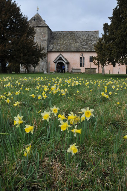
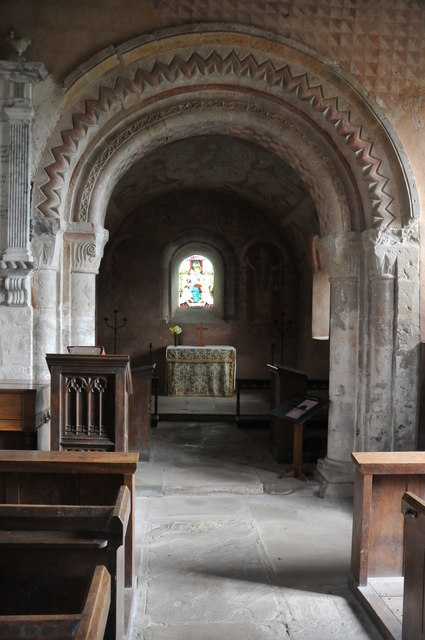
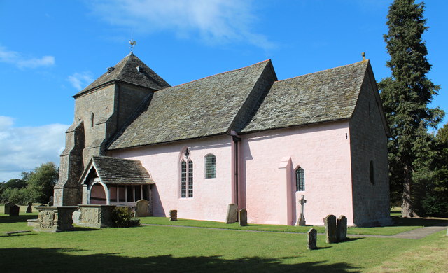
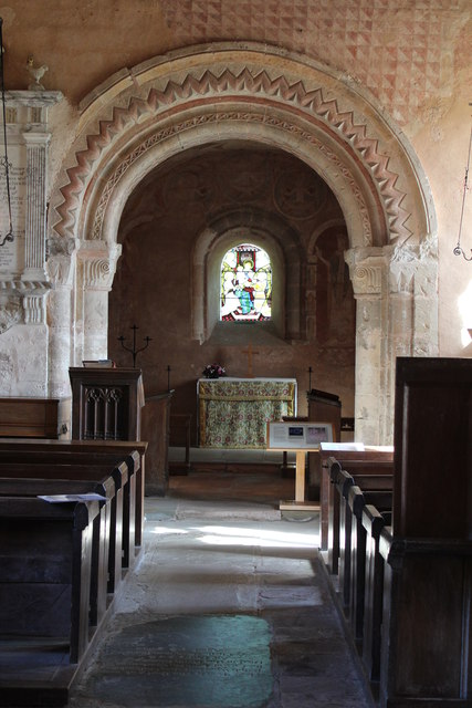
St Mary's Church, Kempley

St Mary's Church in Kempley is a former parish church in the Forest of Dean district of Gloucestershire, England, close to the border with Herefordshire...

Hellens

Hellens Manor, (also known as Hellens House or simply Hellens), is a historic house located in the village of Much Marcle in Herefordshire, England. It...

Preston, Forest of Dean

Preston is a village, former manor, civil and ecclesiastical parish in the Forest of Dean in Gloucestershire, England. It is situated 22 km north-west...

Much Marcle

Much Marcle is a village and civil parish in Herefordshire, England, located 7 miles (11 km) north-east of Ross-on-Wye. The 2011 Census recorded the parish...

Nearby Amenities

Located within 500m of 51.991634,-2.4691582
Power: pole
Lat/Long: 51.9949861/-2.4669255
Power: pole
Lat/Long: 51.9941025/-2.4668518
Power: pole
Lat/Long: 51.9931876/-2.4667834
Great Netherton
Power: pole
Transformer: distribution
Voltage Primary: 11000
Lat/Long: 51.9931392/-2.463963
Power: pole
Lat/Long: 51.9926867/-2.4650238
Power: pole
Lat/Long: 51.9925038/-2.4662898
Power: pole
Lat/Long: 51.9916094/-2.4656166
Power: pole
Lat/Long: 51.9907436/-2.4647348
Power: pole
Lat/Long: 51.9897232/-2.4636848
Power: pole
Lat/Long: 51.9875392/-2.4669617
Power: pole
Lat/Long: 51.9877965/-2.4656703
The data included in this document is from www.openstreetmap.org. The data is made available under ODbL.

Have you been to Netherton Coppice?

Leave your review of Netherton Coppice below (or comments, questions and feedback).