Gollings Rough
Wood, Forest in Shropshire
England
Gollings Rough
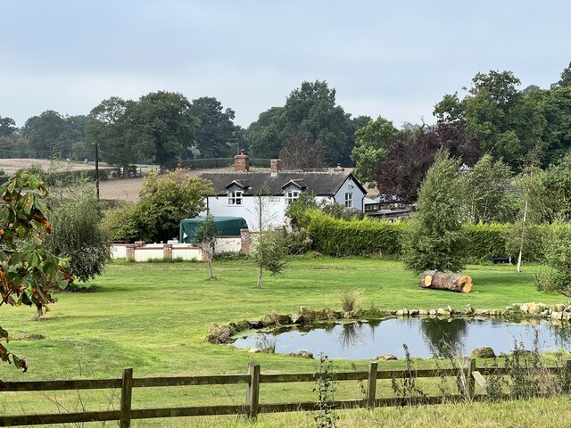
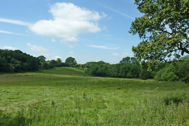
Gollings Rough is a picturesque woodland area located in the county of Shropshire, England. Situated near the village of Gollings, this forested expanse covers an approximate area of 100 acres. The natural beauty of Gollings Rough attracts visitors from near and far, offering a tranquil retreat from the bustling urban life.
The woodland is predominantly composed of native deciduous trees, including oak, beech, and birch, which create a diverse and enchanting landscape. The forest floor is adorned with an array of wildflowers, adding vibrant splashes of color to the surroundings during the spring and summer months.
Gollings Rough is home to a variety of wildlife species, making it a haven for nature enthusiasts and birdwatchers. Visitors may catch glimpses of native birds such as woodpeckers, nuthatches, and warblers, as well as small mammals like squirrels and foxes. The forest also provides shelter for numerous insects and amphibians, which thrive in its diverse ecosystem.
The woodland offers several walking trails, allowing visitors to explore the area at their own pace. These paths wind through the forest, providing opportunities to immerse oneself in the natural beauty and tranquility of the surroundings. The peacefulness of Gollings Rough makes it an ideal spot for relaxation, picnicking, and even photography.
For those interested in the history of the area, Gollings Rough has several ancient features, including remnants of a Roman road that once passed through the vicinity. These historical elements add an extra layer of intrigue to the woodland, making it a fascinating destination for history enthusiasts.
Overall, Gollings Rough in Shropshire offers a delightful blend of natural beauty, wildlife, and historical significance, making it a must-visit destination for nature lovers and those seeking solace in the great outdoors.
If you have any feedback on the listing, please let us know in the comments section below.
Gollings Rough Images
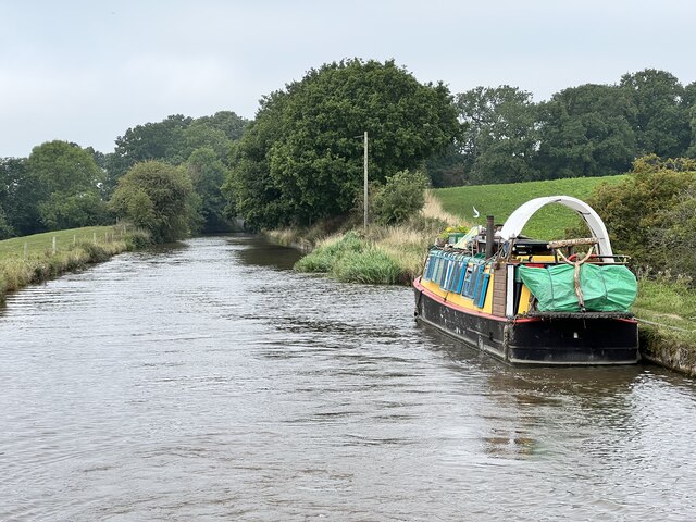
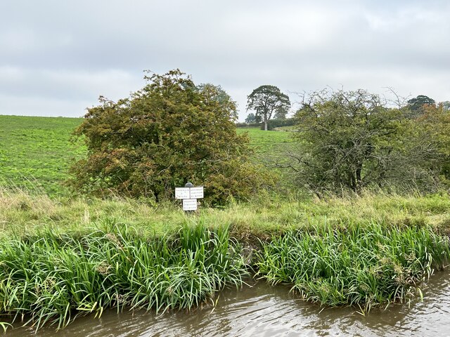
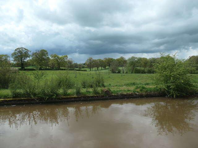
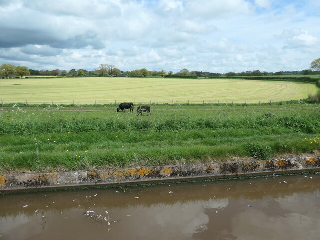
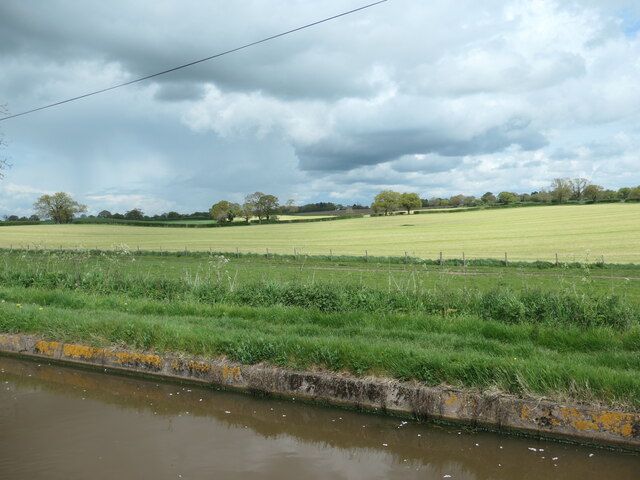
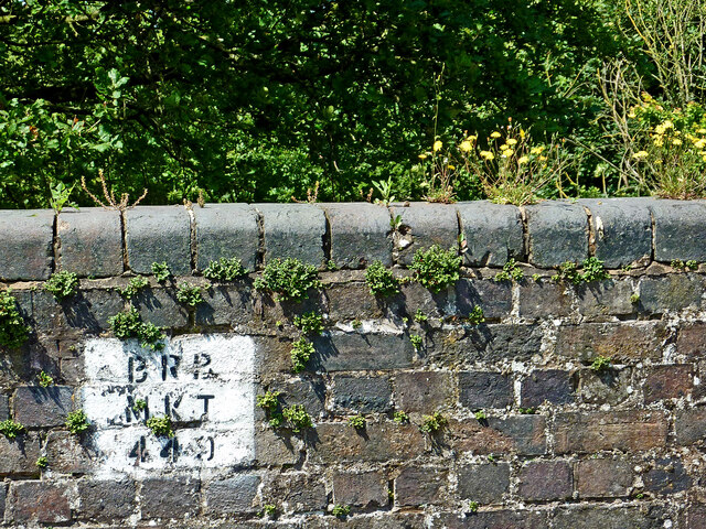
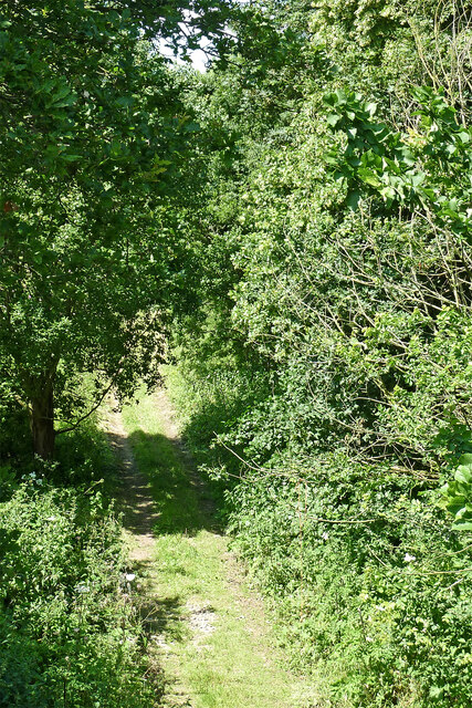
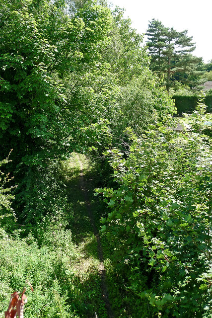
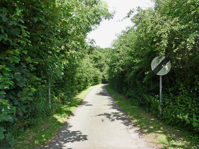
Images are sourced within 2km of 52.957033/-2.4795895 or Grid Reference SJ6740. Thanks to Geograph Open Source API. All images are credited.
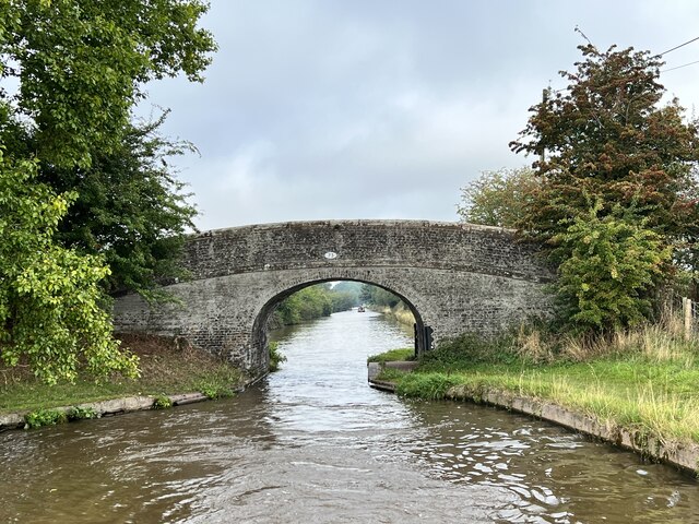
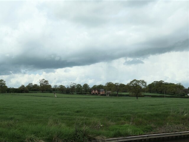
![Approaching Hawksmoor Bridge [no 72] Looking northwards on the Shropshire Union canal.](https://s3.geograph.org.uk/geophotos/07/51/67/7516783_c474050a.jpg)


Gollings Rough is located at Grid Ref: SJ6740 (Lat: 52.957033, Lng: -2.4795895)
Unitary Authority: Shropshire
Police Authority: West Mercia
What 3 Words
///sped.onion.breakfast. Near Audlem, Cheshire
Nearby Locations
Related Wikis

Highfields, Buerton
Highfields is a small country house in the civil parish of Buerton, Cheshire, England. It is recorded in the National Heritage List for England as a designated...

Adderley railway station
Adderley railway station was a station serving the village of Adderley in the English county of Shropshire. == History == The station was built by the...

Adderley
Adderley is a village and civil parish in the English county of Shropshire, several kilometres north of Market Drayton. It is known as Eldredelei in the...

St Peter's Church, Adderley
St Peter's Church is an Anglican church in the village of Adderley, Shropshire, England. It is recorded in the National Heritage List for England as a...
Have you been to Gollings Rough?
Leave your review of Gollings Rough below (or comments, questions and feedback).