Acton Coppice
Wood, Forest in Herefordshire
England
Acton Coppice
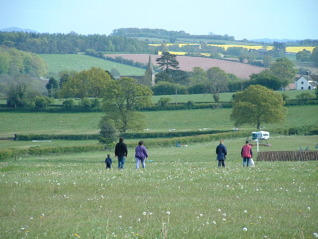
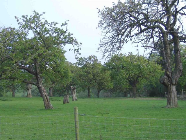
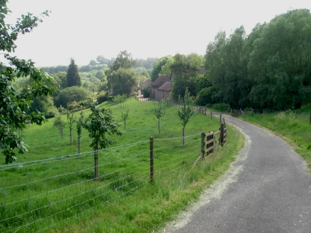
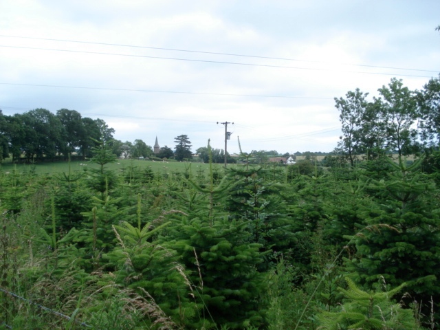
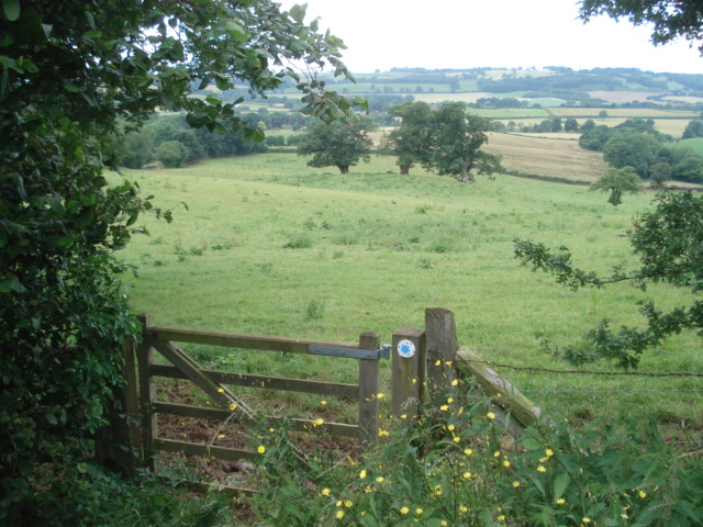
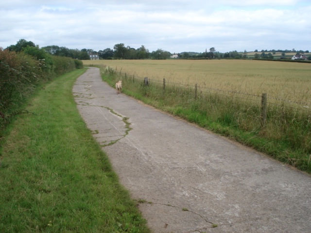
Acton Coppice is a picturesque woodland located in Herefordshire, a county in the West Midlands region of England. Covering a vast area, the coppice is known for its dense and diverse collection of trees, making it a popular destination for nature enthusiasts and hikers alike.
The woodland is primarily composed of broadleaf trees, including oak, beech, and ash, which create a stunning canopy that provides shade and shelter for the various wildlife that call Acton Coppice home. The forest floor is carpeted with a rich undergrowth of ferns, bluebells, and wildflowers, adding to the enchanting atmosphere of the woodland.
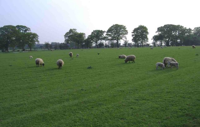
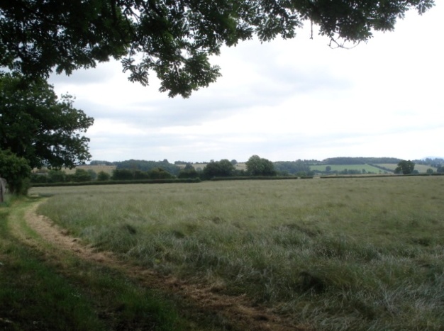
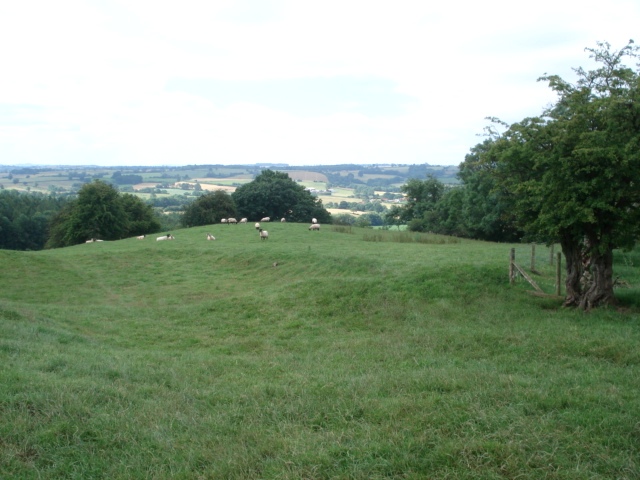
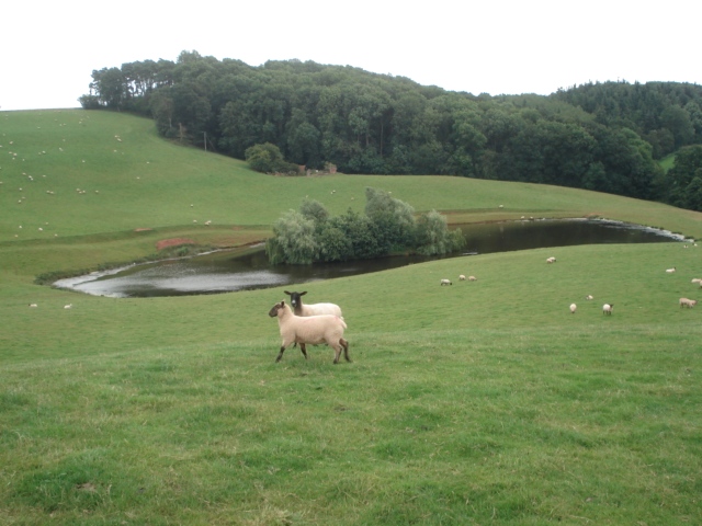
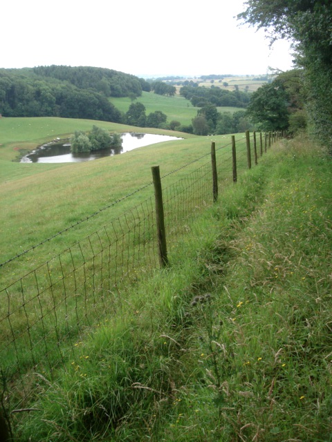
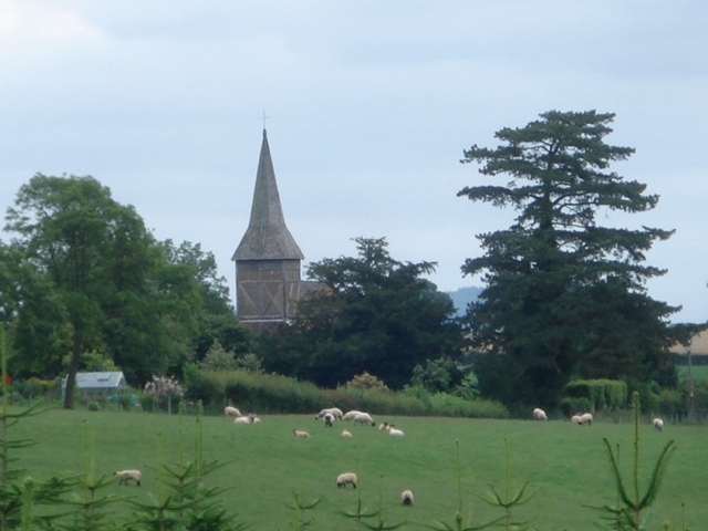
Acton Coppice offers a network of well-maintained paths and trails, enabling visitors to explore the forest and appreciate its natural beauty. The trails vary in difficulty, catering to both casual walkers and more experienced hikers. Along the way, visitors may encounter a plethora of wildlife, including deer, foxes, badgers, and a variety of bird species.
The woodland also holds historical significance, with remnants of ancient settlements and burial sites dating back centuries. Archaeological excavations have uncovered artifacts and evidence of human activity, providing a glimpse into the area's rich history.
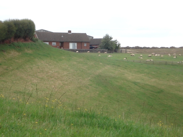
Acton Coppice is managed by local authorities who ensure the preservation of its natural habitats and the protection of the wildlife that inhabit it. The woodland serves as an important ecological site, contributing to the overall biodiversity of Herefordshire.
Overall, Acton Coppice is a captivating woodland retreat that offers a tranquil escape from the hustle and bustle of everyday life, providing visitors with an opportunity to immerse themselves in the beauty of nature and explore the history of the region.
If you have any feedback on the listing, please let us know in the comments section below.
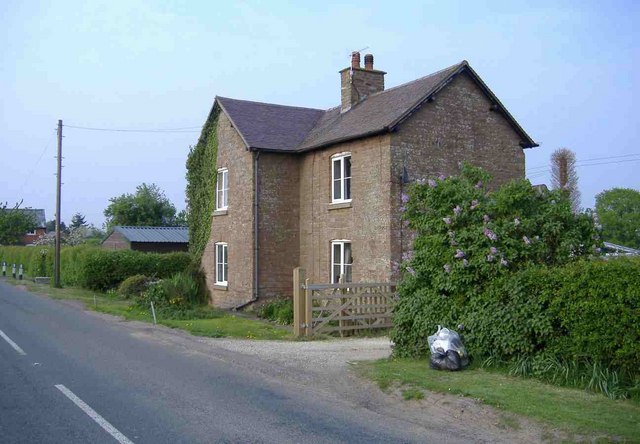
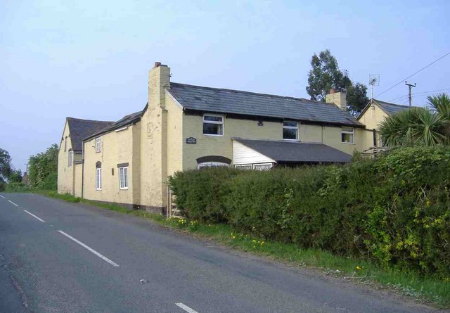
Acton Coppice Images
Images are sourced within 2km of 52.23804/-2.4757366 or Grid Reference SO6760. Thanks to Geograph Open Source API. All images are credited.

Acton Coppice is located at Grid Ref: SO6760 (Lat: 52.23804, Lng: -2.4757366)
Unitary Authority: County of Herefordshire
Police Authority: West Mercia
What 3 Words
///ship.another.midfield. Near Collington, Herefordshire
Nearby Locations
Related Wikis

Tedstone Wafer
Tedstone Wafer is a village and civil parish 16 miles (26 km) north east of Hereford, in the county of Herefordshire, England. In 2011 the parish had a...

Harpley, Worcestershire
Harpley is a hamlet in Worcestershire, England.
Wolferlow
Wolferlow is a village and civil parish in northern Herefordshire, England, about 4 miles (6.4 kilometres) north of Bromyard. In the fourteenth century...

Edvin Loach and Saltmarshe
Edvin Loach and Saltmarshe is a civil parish in north-east Herefordshire, England, and is approximately 15 miles (24 km) north-east from the city and county...
Edvin Loach
Edvin Loach, also Edwin Loach, is a village and former civil parish, now in the parish of Edvin Loach and Saltmarshe, in east Herefordshire, England, and...

Lower Sapey
Lower Sapey is a village and civil parish in the Malvern Hills District in the county of Worcestershire, England. Sapey Pritchard was in the upper division...

Old St Bartholomew's Church, Lower Sapey
Old St Bartholomew's Church is a redundant Anglican church near the village of Lower Sapey, Worcestershire, England. It is recorded in the National Heritage...
Tedstone Delamere
Tedstone Delamere is a village and civil parish in Herefordshire, England, 3.5 miles (6 km) north-east of Bromyard. The population of the parish at the...
Related Videos

Saltmarshe Castle - Premium Residential Park in beautiful Herefordshire - Wyldecrest Parks.
Our popular Saltmarshe Castle Residential Park is located in a peaceful & breath-taking woodland setting & offers the ultimate in ...

Wyldecrest Parks - Interview with a lovely resident Lesley - Hear her story.
Join us for a quick chat with our lovely resident Lesley Gold who moved into our Saltmarshe Castle Residential development in ...

45x20 Omar Elveden Cottage here at Saltmarshe Castle Park in Herefordshire.
This stunning brand new park home is situated in the Herefordshire countryside and boasts many great features. This 45x20 ...

Wedding guests are louder than the live band!🔥🎤 #wedding #singalong #oasis #weddingband #shorts
Wedding guests are louder than the live band! There was a strict sound limiter on the band at this wedding venue but it meant ...
Nearby Amenities
Located within 500m of 52.23804,-2.4757366Have you been to Acton Coppice?
Leave your review of Acton Coppice below (or comments, questions and feedback).