Lane, High

Settlement in Worcestershire Malvern Hills

England

Lane, High

Wolferlow Church Taken from the Cross Country course at Wolferlow
Wolferlow Church Credit: John Phillips

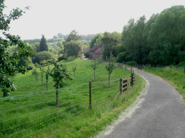
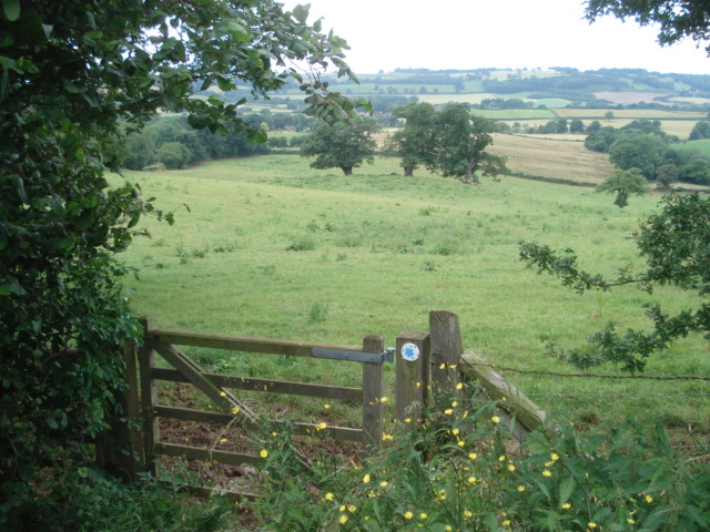
Lane, High, Worcestershire is a small village located in the western part of England, specifically in the county of Worcestershire. Situated amidst picturesque countryside, the village is known for its tranquil and idyllic setting. With a population of approximately 500 residents, Lane, High is a close-knit community that exudes a friendly and welcoming atmosphere.

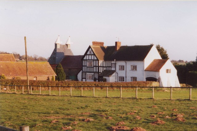
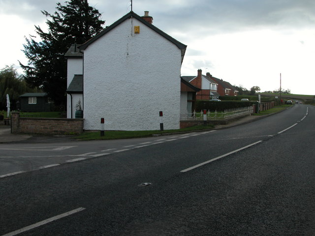
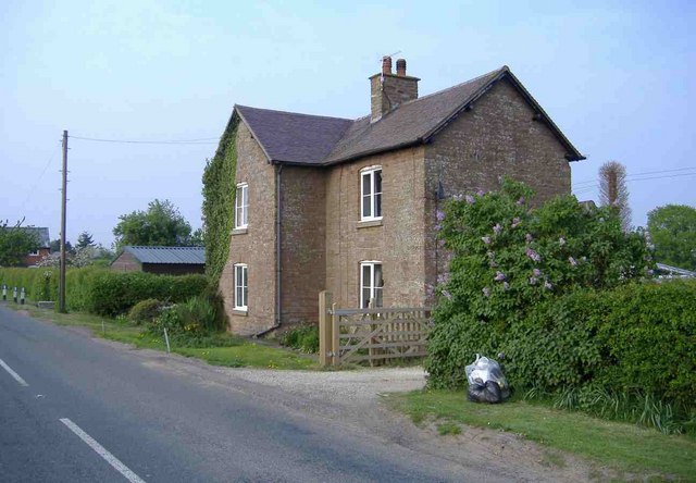
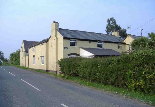
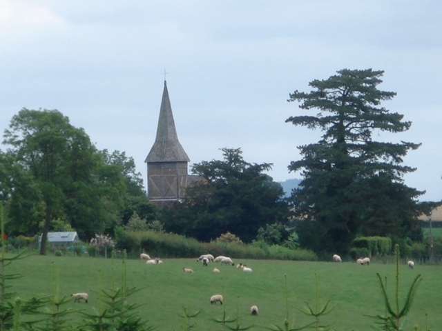
The village is characterized by its charming architecture, with a mix of traditional stone cottages and more modern houses. The local church, St. Mary's, stands prominently in the heart of the village, showcasing stunning medieval features and serving as a gathering point for religious and community events.

Despite its small size, Lane, High offers some amenities to its residents. There is a local pub, The Rose and Crown, where villagers gather to socialize and enjoy a pint. Additionally, the village has a small convenience store that caters to the daily needs of its inhabitants.

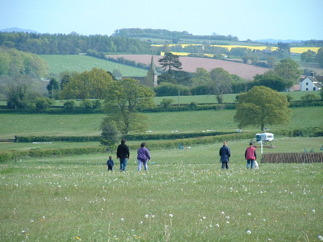
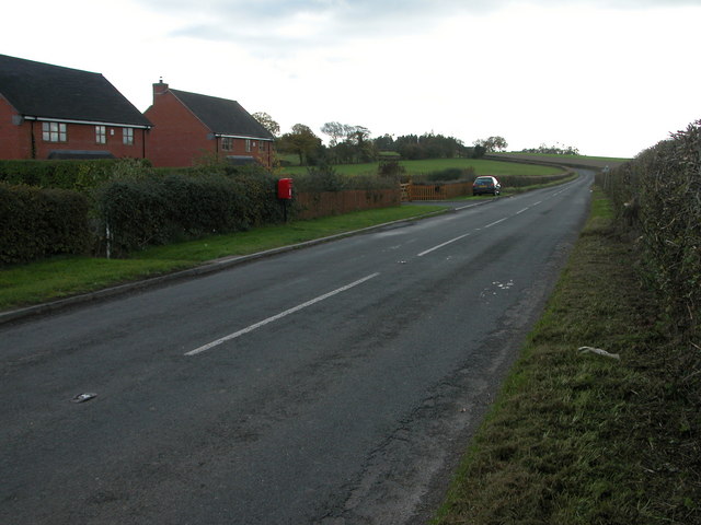
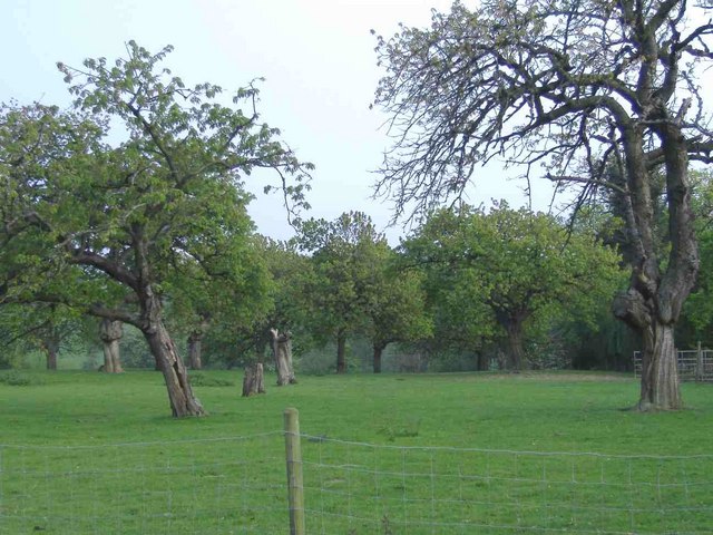
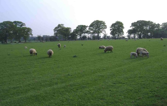
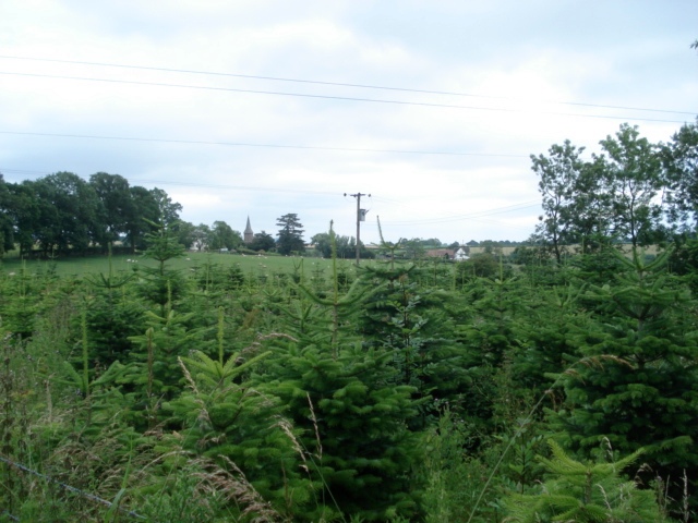
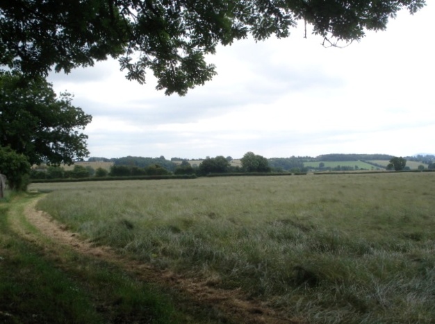
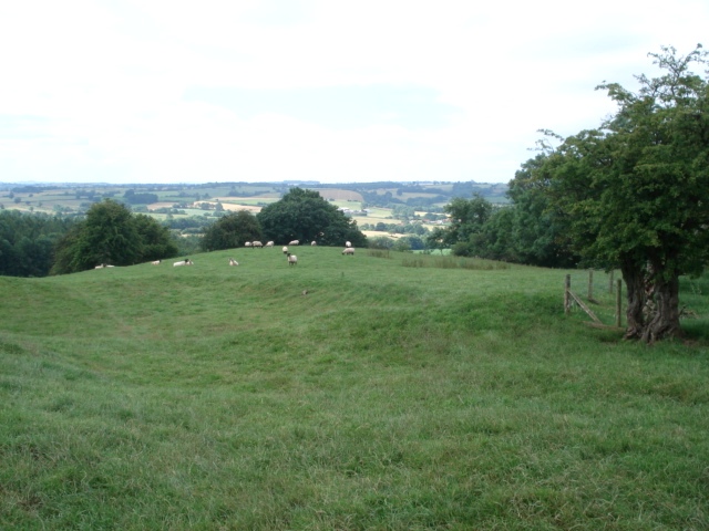
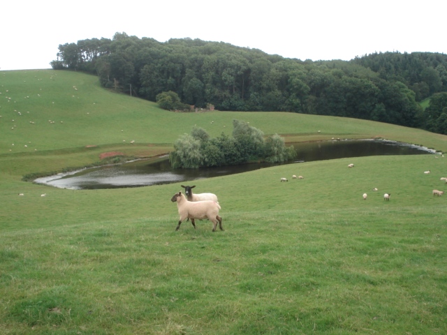
Surrounded by rolling hills and lush green fields, Lane, High provides ample opportunities for outdoor activities and exploration. The village is well-connected to nearby towns and cities, with good transport links enabling easy access to amenities and services.

Lane, High is also known for its strong sense of community spirit, with various events and gatherings organized throughout the year. These include village fetes, summer festivals, and charity fundraisers, which bring residents together and foster a sense of belonging.

All in all, Lane, High, Worcestershire offers a peaceful and picturesque retreat for those seeking a slower pace of life in a close-knit community amidst the beauty of the English countryside.

If you have any feedback on the listing, please let us know in the comments section below.

Lane, High Images

Images are sourced within 2km of 52.244582/-2.4741662 or Grid Reference SO6760. Thanks to Geograph Open Source API. All images are credited.

Wolferlow Church Taken from the Cross Country course at Wolferlow
Wolferlow Church
Taken from the Cross Country course at Wolferlow
Court Farm, Wolferlow Wolferlow has an old church next to a village abandoned in the middle ages.  Nearby is Court Farm - a partly timber framed farmhouse.
Court Farm, Wolferlow
Wolferlow has an old church next to a village abandoned in the middle ages. Nearby is Court Farm - a partly timber framed farmhouse.
Sapey Golf Club Golfers on the golf course of Sapey Golf Club. See: <span class="nowrap"><a title="http://www.sapeygolf.co.uk/" rel="nofollow ugc noopener" href="http://www.sapeygolf.co.uk/">Link</a><img style="margin-left:2px;" alt="External link" title="External link - shift click to open in new window" src="https://s1.geograph.org.uk/img/external.png" width="10" height="10"/></span>
Sapey Golf Club
Golfers on the golf course of Sapey Golf Club. See: LinkExternal link
Driveway to Burton Court, Upper Sapey
The B4203 to the south of Three Gates
Crossroads at Three Gates
Farmland beside Sapey Golf Club Poswick Farm can be seen in the background.
Farmland beside Sapey Golf Club
Poswick Farm can be seen in the background.
The Lilacs, High Lane
Orchard, near Harpley
Grazing land, near Harpley
The Gate Hangs Well A former public house. Now a dwelling.
The Gate Hangs Well
A former public house. Now a dwelling.
Entrance lane to Hatt House Farm
Wolferlow Church Viewed from the small christmas tree plantation near Upper House Farm.
Wolferlow Church
Viewed from the small christmas tree plantation near Upper House Farm.
Wolferlow christmas trees Christmas tree plantation near Upper House Farm with the church in the distance.
Wolferlow christmas trees
Christmas tree plantation near Upper House Farm with the church in the distance.
Hay field near Upper House Farm Looking south-east from the bridleway, which has been mowed on this walker-friendly farm.
Hay field near Upper House Farm
Looking south-east from the bridleway, which has been mowed on this walker-friendly farm.
Sheep pasture on Upper House Farm View south-west from the path junction on the top of the hill.
Sheep pasture on Upper House Farm
View south-west from the path junction on the top of the hill.
Bridleway near Cwmwood Farm View westwards over farmland. Although well-waymarked and with good views, this path is clearly little used.
Bridleway near Cwmwood Farm
View westwards over farmland. Although well-waymarked and with good views, this path is clearly little used.
Pond at Cwmwood Farm Pond in sheep pasture with Cwm Wood behind. This pond is quite large and has clearly been around for some years, but is not shown on the OS 1:50 000 map at time of submission.
Pond at Cwmwood Farm
Pond in sheep pasture with Cwm Wood behind. This pond is quite large and has clearly been around for some years, but is not shown on the OS 1:50 000 map at time of submission.
Show me another place!

Lane, High is located at Grid Ref: SO6760 (Lat: 52.244582, Lng: -2.4741662)

Administrative County: Worcestershire

District: Malvern Hills

Police Authority: West Mercia

What 3 Words

///juicy.salutes.spoon. Near Collington, Herefordshire

Related Wikis

Harpley, Worcestershire

Harpley is a hamlet in Worcestershire, England.

Wolferlow

Wolferlow is a village and civil parish in northern Herefordshire, England, about 4 miles (6.4 kilometres) north of Bromyard. In the fourteenth century...

Lower Sapey

Lower Sapey is a village and civil parish in the Malvern Hills District in the county of Worcestershire, England. Sapey Pritchard was in the upper division...

Tedstone Wafer

Tedstone Wafer is a village and civil parish 16 miles (26 km) north east of Hereford, in the county of Herefordshire, England. In 2011 the parish had a...

Nearby Amenities

Located within 500m of 52.244582,-2.4741662
Bus Stop
High Lane- Inn
Naptan AtcoCode: 2000G653003
Naptan Bearing: N
Naptan BusStopType: CUS
Naptan CommonName: High Lane- Inn
Naptan Indicator: opp
Naptan Landmark: High Lane- Inn
Naptan NaptanCode: wocdmtmt
Naptan Street: High Lane
Naptan Verified: no
Source: naptan_import
Lat/Long: 52.246314/-2.474038
Bus Stop
Pritchard Close
Naptan AtcoCode: 2000G653007
Naptan Bearing: S
Naptan BusStopType: CUS
Naptan CommonName: Pritchard Close
Naptan Crossing: Pritchard Close
Naptan Indicator: Adj
Naptan Landmark: Old Smithy
Naptan NaptanCode: wocdmtpg
Naptan Street: High Lane
Naptan Verified: no
Source: naptan_import
Lat/Long: 52.2477716/-2.4737605
Bus Stop
Gate Hangs Well PH
Naptan AtcoCode: 2090A070900
Naptan Bearing: S
Naptan BusStopType: CUS
Naptan CommonName: Gate Hangs Well PH
Naptan Indicator: adj
Naptan Landmark: Gate Hangs Well PH (No longer a PH)
Naptan NaptanCode: heradgtd
Naptan Street: B4203
Naptan Verified: no
Source: naptan_import
Lat/Long: 52.2466564/-2.4738365
Bus Stop
Gate Hangs Well PH
Naptan AtcoCode: 2090A18248
Naptan Bearing: N
Naptan BusStopType: CUS
Naptan CommonName: Gate Hangs Well PH
Naptan Indicator: opp
Naptan Landmark: Gate Hangs Well PH (no longer a PH)
Naptan NaptanCode: heragmdg
Naptan Street: B4203
Naptan Verified: no
Source: naptan_import
Lat/Long: 52.2467188/-2.4739837
Turning Circle
Lat/Long: 52.2476731/-2.4727749
Pub
Gate Hangs Well
Source: naptan bus stop info
Lat/Long: 52.2465518/-2.4737357
Pitchard Close
Power: pole
Transformer: distribution
Voltage Primary: 11000
Lat/Long: 52.2485031/-2.4735788
Power: pole
Lat/Long: 52.2481209/-2.4735801
Power: pole
Lat/Long: 52.2477293/-2.4735057
Power: pole
Lat/Long: 52.2472834/-2.4734057
High Lane North
Power: pole
Transformer: distribution
Voltage Primary: 11000
Lat/Long: 52.2469714/-2.4733481
Power: pole
Lat/Long: 52.2466118/-2.4733521
Power: pole
Lat/Long: 52.245858/-2.4733736
Power: pole
Lat/Long: 52.2440547/-2.4736103
Power: pole
Lat/Long: 52.2445503/-2.4735124
Power: pole
Lat/Long: 52.2451062/-2.4734386
Power: pole
Lat/Long: 52.2436647/-2.4736713
High Lane South
Power: pole
Transformer: distribution
Voltage Primary: 11000
Lat/Long: 52.2428731/-2.4739274
Location Transition: yes
Power: pole
Lat/Long: 52.2432968/-2.4737853
Power: pole
Lat/Long: 52.2432196/-2.4724402
Power: pole
Lat/Long: 52.2431728/-2.4714518
Power: pole
Lat/Long: 52.2431753/-2.4701791
Power: pole
Lat/Long: 52.2431892/-2.46885
Power: pole
Lat/Long: 52.244632/-2.4678241
Power: pole
Lat/Long: 52.2437587/-2.4677014
Harpley South
Power: pole
Transformer: distribution
Voltage Primary: 11000
Lat/Long: 52.2455509/-2.4678254
Power: pole
Lat/Long: 52.243195/-2.4675089
Location Transition: yes
Power: pole
Lat/Long: 52.2405294/-2.4768041
Power: pole
Lat/Long: 52.2412003/-2.4778824
Power: pole
Lat/Long: 52.2419414/-2.4790699
Beauty Bank
Power: pole
Transformer: distribution
Voltage Primary: 11000
Lat/Long: 52.2419891/-2.479723
The data included in this document is from www.openstreetmap.org. The data is made available under ODbL.

Have you been to Lane, High?

Leave your review of Lane, High below (or comments, questions and feedback).