Moss Oaks
Wood, Forest in Cheshire
England
Moss Oaks
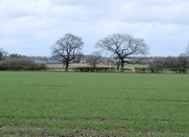
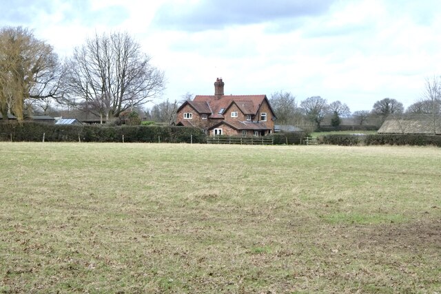
Moss Oaks, located in the county of Cheshire, is a serene woodland area renowned for its rich natural beauty and diverse flora and fauna. Stretching across an expanse of approximately 100 acres, Moss Oaks is a haven for nature enthusiasts and offers a peaceful retreat from the bustling city life.
The woodland is characterized by its dense tree coverage, predominantly consisting of oak trees, which lend the area its name. These majestic oaks provide a lush canopy that filters sunlight, creating a tranquil ambiance within the forest. The forest floor is carpeted with moss and various wildflowers, adding to the enchanting atmosphere.
Moss Oaks is home to a wide array of wildlife, attracting birdwatchers and animal lovers alike. Visitors may catch glimpses of woodland creatures such as deer, foxes, badgers, and rabbits. The forest also serves as a habitat for numerous bird species, including woodpeckers, owls, and various songbirds.
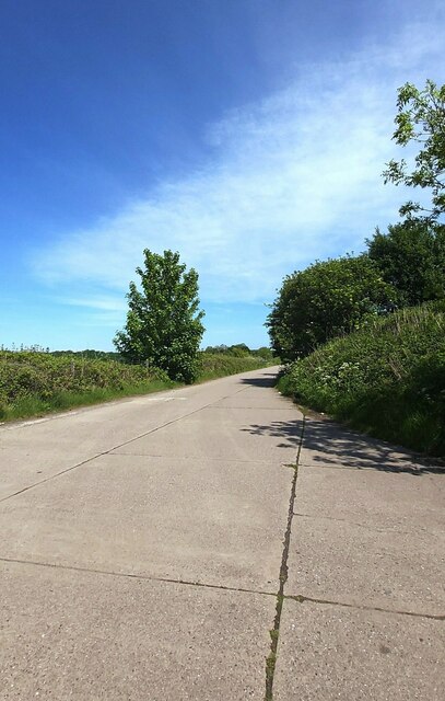
For those seeking outdoor activities, Moss Oaks offers several walking trails that wind through the forest, allowing visitors to explore its hidden corners and appreciate its natural wonders. The trails are well-maintained and cater to different levels of difficulty, ensuring that everyone can enjoy the forest at their own pace.
Throughout the year, the woodland undergoes subtle transformations, with vibrant autumn foliage, delicate spring blossoms, and a lush green canopy in the summer. Regardless of the season, Moss Oaks always offers a picturesque and rejuvenating experience for all nature lovers.
If you have any feedback on the listing, please let us know in the comments section below.
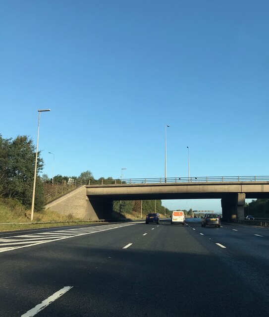
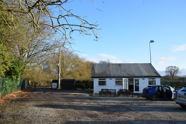
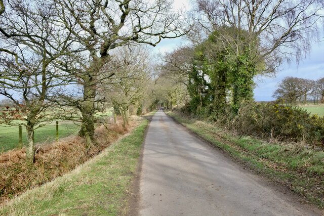
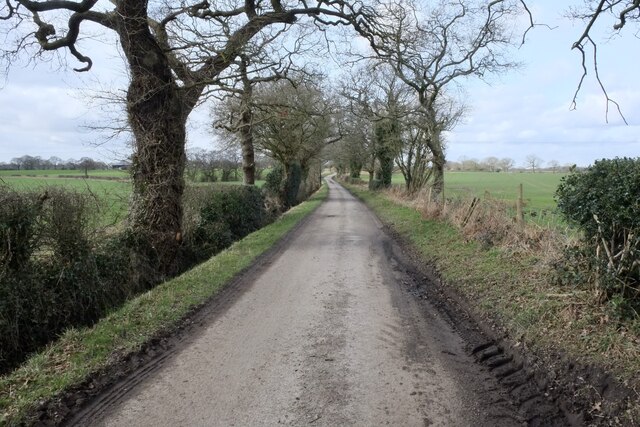
Moss Oaks Images
Images are sourced within 2km of 53.348206/-2.4890029 or Grid Reference SJ6783. Thanks to Geograph Open Source API. All images are credited.


Moss Oaks is located at Grid Ref: SJ6783 (Lat: 53.348206, Lng: -2.4890029)
Unitary Authority: Cheshire East
Police Authority: Cheshire
What 3 Words
///prospered.punt.beaters. Near High Legh, Cheshire
Nearby Locations
Related Wikis

Swineyard Hall
Swineyard Hall is a moated country house in the parish of High Legh, Cheshire, England. It was built in the 16th century, with additions made in the 19th...

Bucklow Hundred
The hundred of Bucklow was an ancient division of the historic county of Cheshire, in northern England. It was known to have been in existence at least...
RNAS Stretton (HMS Blackcap)
Royal Naval Air Station Stretton (RNAS Stretton, also known as HMS Blackcap), was an airfield situated in the village of Appleton Thorn, though named for...

St John's Church, High Legh
St John's Church is an active Anglican parish church in the village of High Legh, Cheshire, England. It is in the deanery of Knutsford, the archdeaconry...

St Mary's Chapel, High Legh
St Mary's Chapel is a former Anglican parish church in the village of High Legh, Cheshire, England. It is recorded in the National Heritage List for England...

High Legh
High Legh is a village, civil and ecclesiastical parish in the unitary authority of Cheshire East and the ceremonial county of Cheshire, England. It is...

St Mary's Chapel, Arley
St Mary's Chapel is the private chapel to Arley Hall, near the village of Arley, Cheshire, England. It is recorded in the National Heritage List for England...

Arley Hall
Arley Hall is a country house in the village of Arley, Cheshire, England, about 4 miles (6 km) south of Lymm and 5 miles (8 km) north of Northwich. It...
Related Videos
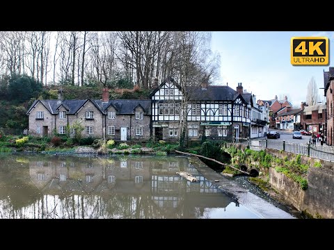
Lymm Village | 4K Walking tour
Visit the beautiful village of Lymm. We start along the Bridgewater Canal, walking down to Lymm Cross, then to the Lower Dam.

A wonderful place to go for a walk 🌤|| Sunny day walk ||Lymm dam ||
walk #sunnydays #summer #sunnyday #sunshine #nature #sunny #sun #photooftheday #summervibes #sky #beautiful #love ...

Peaky Blinders at Arley Hall
Peaky Blinders exhibition at Arley Hall, Warrington AKA Tommy Shelby's home in the hit TV show.
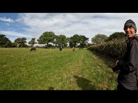
Arley Hall and surroundings (Tyrone Walkabout)
A six mile walk around Arley Hall and Surrounding area's. Beautiful countryside. Music from Uppbeat (free for Creators!)
Nearby Amenities
Located within 500m of 53.348206,-2.4890029Have you been to Moss Oaks?
Leave your review of Moss Oaks below (or comments, questions and feedback).