Coton Hill
Settlement in Shropshire
England
Coton Hill
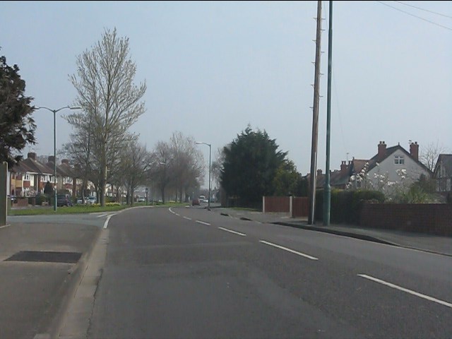
Coton Hill is a small residential area located in the county of Shropshire, England. Situated on the outskirts of the historic market town of Shrewsbury, Coton Hill offers a peaceful and picturesque setting for its residents.
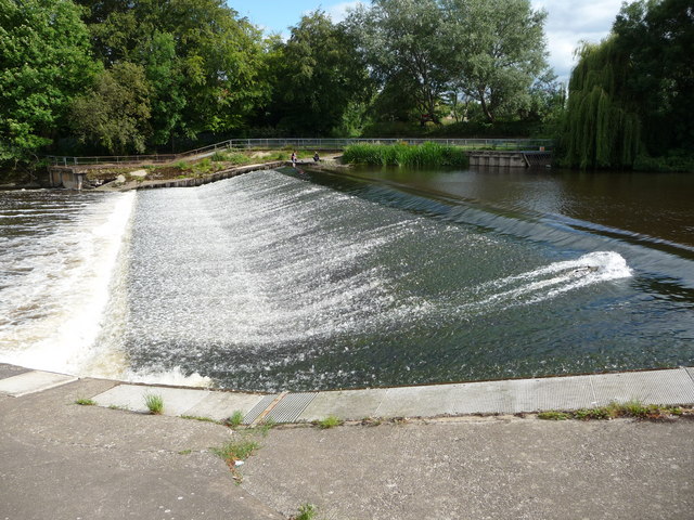
The area is characterized by its beautiful natural surroundings, with rolling hills and green landscapes. Coton Hill is positioned near the River Severn, providing stunning views and opportunities for recreational activities such as fishing, boating, and walking along the riverbanks. Its proximity to the town center allows residents to enjoy the convenience of urban amenities while still maintaining a countryside atmosphere.
Coton Hill is primarily a residential area, consisting of a mix of housing types including detached and semi-detached homes, as well as some apartment buildings. The architecture varies, with a blend of old and new properties adding to the area's character. The community is known for its friendly and welcoming atmosphere, with a strong sense of community spirit.
Residents of Coton Hill benefit from the nearby amenities of Shrewsbury, including schools, shops, restaurants, and leisure facilities. The town center is within walking distance, offering a range of shopping options from high street chains to independent boutiques. The area is also well-connected, with good transport links to other parts of Shropshire and beyond, making it an attractive place to live for both families and commuters.
Overall, Coton Hill offers a tranquil and scenic environment, combined with the convenience of urban living, making it a desirable place to call home in the heart of Shropshire.
If you have any feedback on the listing, please let us know in the comments section below.
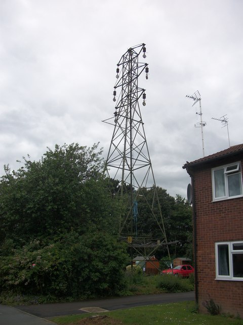
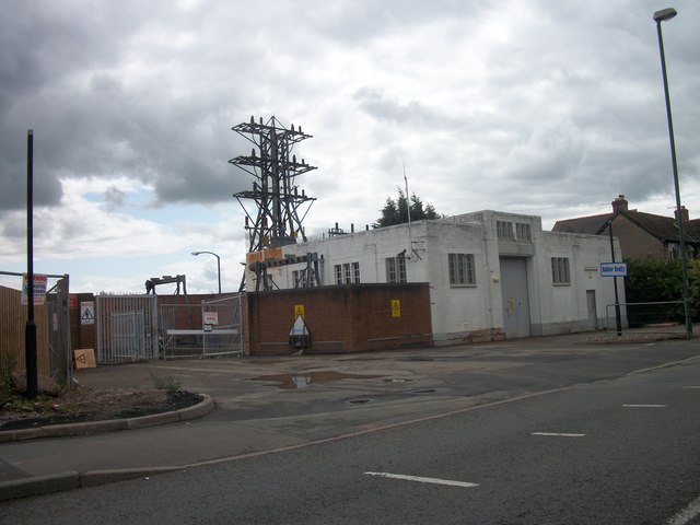
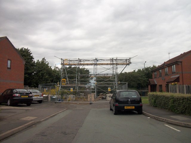
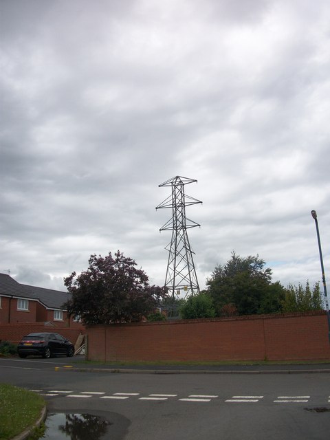
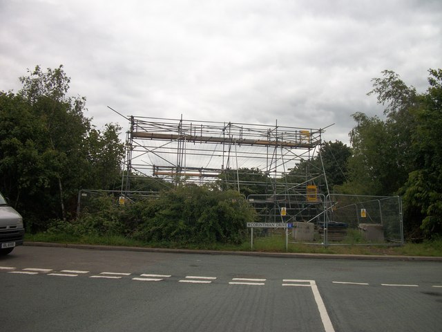
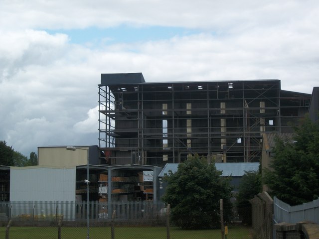
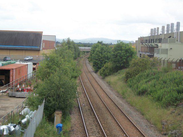
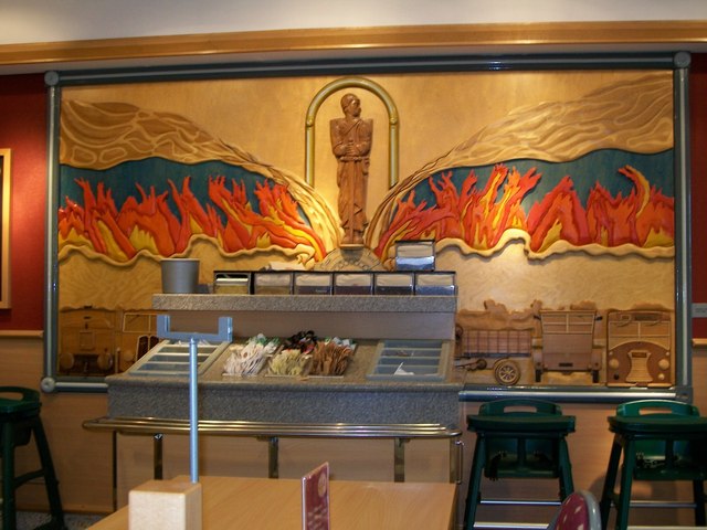
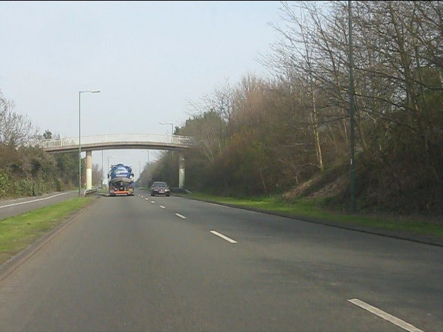
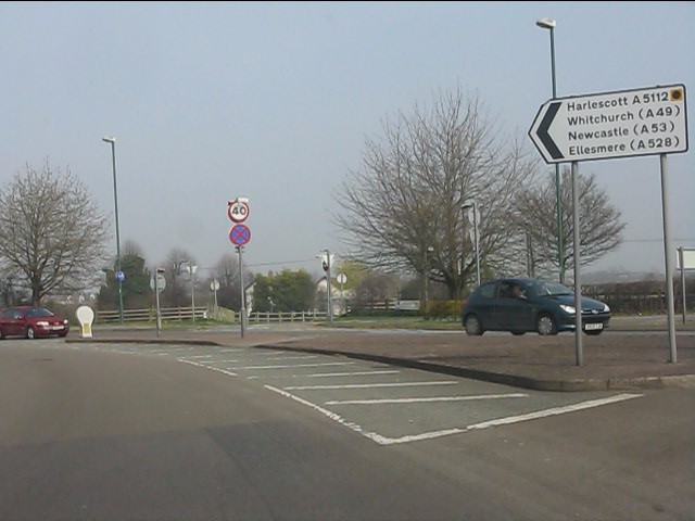
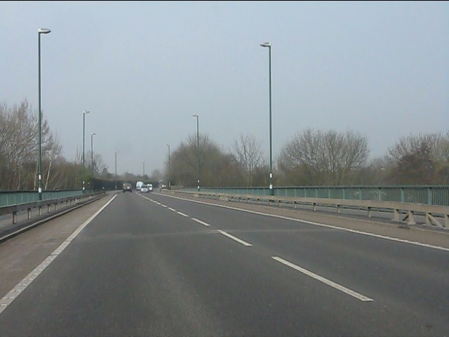
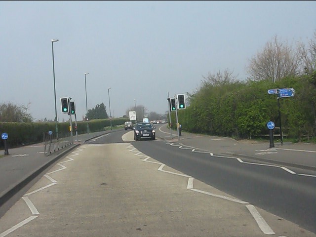
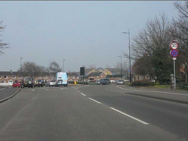
Coton Hill Images
Images are sourced within 2km of 52.718064/-2.75648 or Grid Reference SJ4913. Thanks to Geograph Open Source API. All images are credited.
Coton Hill is located at Grid Ref: SJ4913 (Lat: 52.718064, Lng: -2.75648)
Unitary Authority: Shropshire
Police Authority: West Mercia
What 3 Words
///spine.vast.limp. Near Shrewsbury, Shropshire
Nearby Locations
Related Wikis

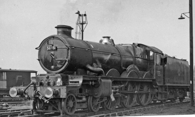
Coton Hill rail crash
The Coton Hill rail crash was a train crash which occurred on 11 January 1965, at Coton Hill, near Shrewsbury in Shropshire, England. It happened when...

Coton Hill, Shropshire
Coton Hill is an historic suburb of the town of Shrewsbury, Shropshire, situated in the ancient parish of St Mary (with a small enclave of the parish of...
Bagley Brook
The Bagley Brook is a small watercourse that flows into the River Severn at Shrewsbury in Shropshire, England. Its course has been severely altered by...
Bagley, Shrewsbury
Bagley is an area of Shrewsbury, county town of Shropshire. It is part urban, part rural and extends out from the town centre in a northwest direction...
Nearby Amenities
Located within 500m of 52.718064,-2.75648Have you been to Coton Hill?
Leave your review of Coton Hill below (or comments, questions and feedback).