Greenfields

Settlement in Shropshire

England

Greenfields

Disused electricity pylon
Disused electricity pylon Credit: Mr M Evison

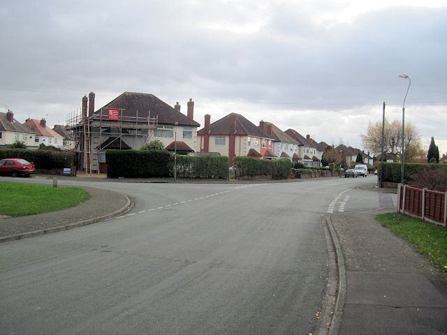
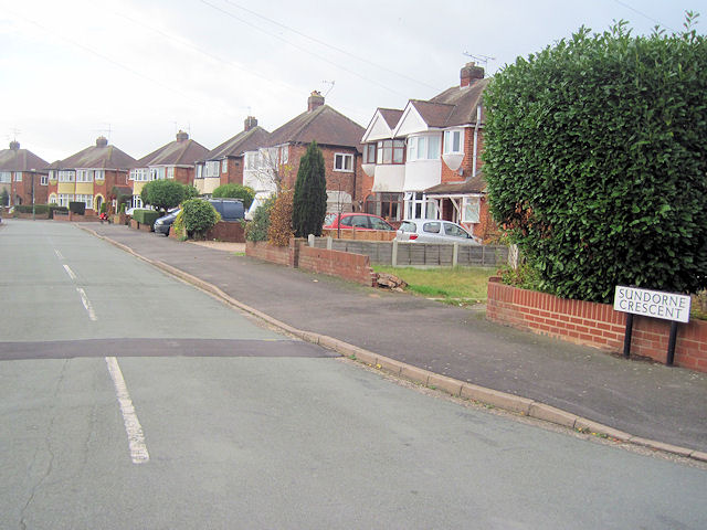
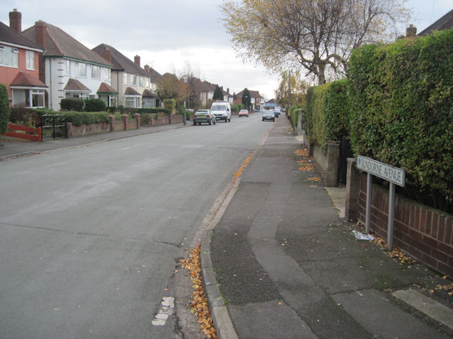
Greenfields is a small village located in the county of Shropshire, England. It is situated in the heart of the beautiful Shropshire countryside, surrounded by rolling green hills and picturesque farmland. The village is known for its peaceful and idyllic setting, making it a popular destination for those looking to escape the hustle and bustle of city life.

Greenfields is home to a tight-knit community of residents who take great pride in their village. The village has a small primary school, a village hall, and a local pub, providing essential amenities for its residents. There are also several walking and cycling routes in the surrounding area, allowing visitors to explore the stunning countryside.

The village is well-connected to the nearby town of Shrewsbury, which is just a short drive away. This provides residents with access to a wider range of amenities, including shops, restaurants, and leisure facilities.

Overall, Greenfields offers a tranquil and picturesque setting for those looking to enjoy the beauty of the Shropshire countryside. Its friendly community and stunning surroundings make it a charming place to live or visit.

If you have any feedback on the listing, please let us know in the comments section below.
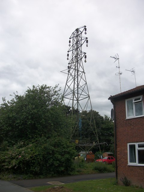
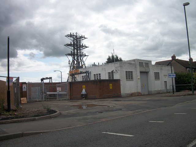
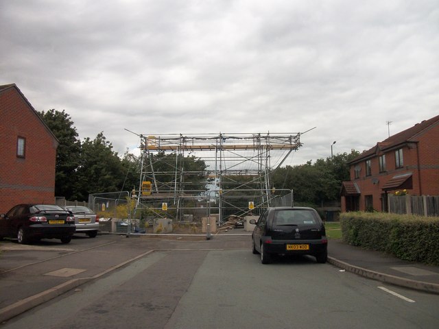
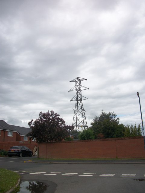
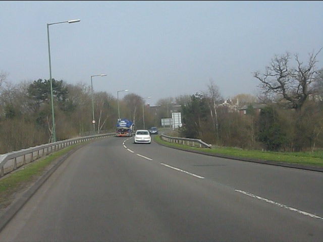
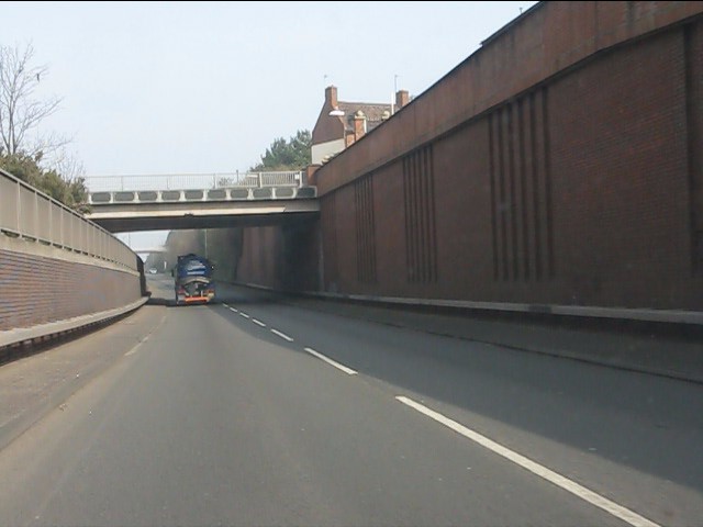
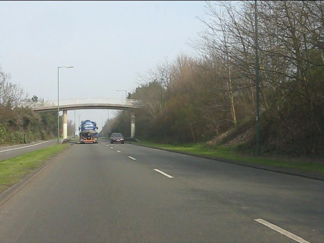
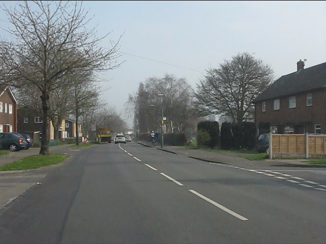
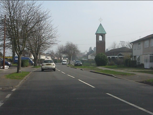
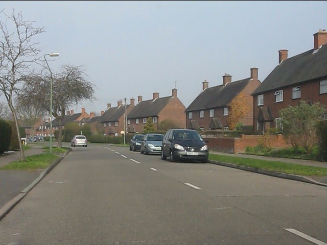
Greenfields Images

Images are sourced within 2km of 52.719424/-2.7497713 or Grid Reference SJ4913. Thanks to Geograph Open Source API. All images are credited.

Disused electricity pylon
Electricity Substation Now out of use
Electricity Substation
Now out of use
Removing the Overhead Cables At last the overhead cables have been removed from over these houses
Removing the Overhead Cables
At last the overhead cables have been removed from over these houses
Now out of use pylon
Removing the Overhead Cables
Old animal food storage
Crewe to Shrewsbury Line
Weir on the River Severn in Shrewsbury A splendid weir on a summer's day.
Weir on the River Severn in Shrewsbury
A splendid weir on a summer's day.
The Sentinel in Morrisons Supermarket Morrisons Supermarket was built on part of the site of the Sentinel Waggon Works and this piece of marquetry was installed in the cafe to commemorate this.

Unfortunately part of the work has now been obscured by some of the cafe equipment.
The Sentinel in Morrisons Supermarket
Morrisons Supermarket was built on part of the site of the Sentinel Waggon Works and this piece of marquetry was installed in the cafe to commemorate this. Unfortunately part of the work has now been obscured by some of the cafe equipment.
Sundorne Avenue towards Sundorne Crescent Looking south the road junction here is where Sundorne Crescent crosses Sundorne Avenue
Sundorne Avenue towards Sundorne Crescent
Looking south the road junction here is where Sundorne Crescent crosses Sundorne Avenue
Sundorne Crescent from Sundorne Avenue This is the west arm of the crescent
Sundorne Crescent from Sundorne Avenue
This is the west arm of the crescent
Sundorne Avenue looking south From Sundorne Crescent junction
Sundorne Avenue looking south
From Sundorne Crescent junction
Southern end of Bage Way
Bage Way - Abbey Foregate bridge
Bage Way - Dark Lane footbridge
Crowmere Road at Grinshill Drive
Crowmere Road
Crowmere Road
Clive Road, Monksmoor
Show me another place!

Greenfields is located at Grid Ref: SJ4913 (Lat: 52.719424, Lng: -2.7497713)

Unitary Authority: Shropshire

Police Authority: West Merica

What 3 Words

///ruby.tester.ledge. Near Shrewsbury, Shropshire

Related Wikis

Coton Hill rail crash

The Coton Hill rail crash was a train crash which occurred on 11 January 1965, at Coton Hill, near Shrewsbury in Shropshire, England. It happened when...

Bagley Brook

The Bagley Brook is a small watercourse that flows into the River Severn at Shrewsbury in Shropshire, England. Its course has been severely altered by...

Bagley, Shrewsbury

Bagley is an area of Shrewsbury, county town of Shropshire. It is part urban, part rural and extends out from the town centre in a northwest direction...

Ditherington Flax Mill

Ditherington Flax Mill (promoted as the Shrewsbury Flaxmill Maltings), a flax mill located in Ditherington, a suburb of Shrewsbury, England, is the first...

Nearby Amenities

Located within 500m of 52.719424,-2.7497713
Mini Roundabout
Direction: clockwise
Lat/Long: 52.7173968/-2.7520893
Traffic Signals
Lat/Long: 52.7161613/-2.7529959
Barrier: bollard
Lat/Long: 52.7174735/-2.7459699
Railway: level_crossing
Lat/Long: 52.7174597/-2.7483577
Bus Stop
Bus: yes
Public Transport: platform
Route Ref: 576;7
Source: knowledge
Lat/Long: 52.7163355/-2.7544084
Bus Stop
Bus: yes
Public Transport: platform
Route Ref: 576;7
Source: knowledge
Lat/Long: 52.7161742/-2.7544599
Pub
The Woodman
Addr City: Shrewsbury
Addr Country: GB
Addr Housenumber: 32
Addr Postcode: SY1 2DZ
Addr Street: Coton Hill
Fhrs Authority: Shropshire
Fhrs Id: 103448
Fhrs Local Authority Id: 34767
Opening Hours: Mo-Fr 14:00-24:00; Sa,Su 12:00-24:00
Wheelchair: no
Lat/Long: 52.7161722/-2.7532835
Pub
The Royal Oak
Addr City: Shrewsbury
Addr Country: GB
Addr Postcode: SY1 2DZ
Addr Street: Coton Hill
Fhrs Authority: Shropshire
Fhrs Id: 1556165
Fhrs Local Authority Id: 22/00751/COMM
Opening Hours: Mo-Su 12:00-23:00
Wheelchair: limited
Wikidata: Q26561060
Lat/Long: 52.7159411/-2.7533696
Bus Stop
Bus: yes
Departures Board: no
Public Transport: platform
Shelter: no
Lat/Long: 52.7192941/-2.7428756
Fire Station
Shropshire Fire and Rescue HQ
Lat/Long: 52.7169204/-2.7471381
Barrier: bollard
Lat/Long: 52.7174446/-2.7459033
Barrier: bollard
Lat/Long: 52.7219942/-2.7495289
Post Box
Ref: SY1 18
Lat/Long: 52.7194301/-2.7512357
Post Box
Operator: Royal Mail
Operator Wikidata: Q638098
Ref: SY1 23
Lat/Long: 52.718898/-2.7437309
Greenfields
Place: suburb
Lat/Long: 52.7187453/-2.749997
Addr City: Shrewsbury
Addr Housenumber: 41
Addr Street: Wood Street
Removed Amenity: post_box
Lat/Long: 52.7180854/-2.7518641
Fast Food
Greenfields Spice
Addr City: Shrewsbury
Addr Country: GB
Addr Housenumber: 48
Addr Postcode: SY1 2PR
Addr Street: Ellesmere Road
Cuisine: indian
Diet Vegan: yes
Diet Vegetarian: yes
Fhrs Authority: Shropshire
Fhrs Id: 1693406
Fhrs Local Authority Id: 24/00086/COMM
Opening Hours: Mo-Su 17:00-23:00
Lat/Long: 52.7190324/-2.7520528
Robsons Stores Greenfields
Addr City: Shrewsbury
Addr Country: GB
Addr Housenumber: 46
Addr Postcode: SY1 2PR
Addr Street: Ellesmere Road
Fhrs Authority: Shropshire
Fhrs Id: 121019
Fhrs Local Authority Id: 49816
Shop: convenience
Lat/Long: 52.7189544/-2.7519509
Maestro's Blade
Addr City: Shrewsbury
Addr Housenumber: 41
Addr Street: Wood Street
Facebook: maestrosblade
Shop: hairdresser
Website: https://maestrosblade.co.uk/
Lat/Long: 52.7180876/-2.7517681
Sydney House B&B
Tourism: guest_house
Lat/Long: 52.7164353/-2.7531609
Railway: switch
Lat/Long: 52.7210981/-2.7550691
Railway: switch
Lat/Long: 52.7215657/-2.7554581
Railway: switch
Lat/Long: 52.7208984/-2.7548907
Railway: switch
Lat/Long: 52.7206891/-2.7547014
Railway: switch
Lat/Long: 52.7175969/-2.7529955
Railway: switch
Lat/Long: 52.717671/-2.752918
Railway: switch
Lat/Long: 52.7171955/-2.7527858
Railway: switch
Lat/Long: 52.7173887/-2.7528868
Railway: derail
Lat/Long: 52.7166898/-2.7481254
Railway: switch
Lat/Long: 52.7162016/-2.7485577
Bench
Lat/Long: 52.7208994/-2.7478939
Bench
Lat/Long: 52.7210245/-2.7478544
Bench
Lat/Long: 52.7207454/-2.747961
Barrier: bollard
Foot: yes
Motor Vehicle: no
Lat/Long: 52.7229348/-2.7464186
Shrewsbury Ramblers Walk 3 Trail Marker
Information: guidepost
Tourism: information
Lat/Long: 52.7225909/-2.746222
Barrier: bollard
Lat/Long: 52.7219998/-2.7495284
Barrier: bollard
Lat/Long: 52.7214113/-2.7478409
Barrier: bollard
Bicycle: yes
Foot: yes
Motor Vehicle: no
Lat/Long: 52.7212573/-2.7445757
Barrier: bollard
Bicycle: yes
Foot: yes
Motor Vehicle: no
Lat/Long: 52.7213199/-2.7446413
Railway: switch
Lat/Long: 52.7197032/-2.7456126
Generator Method: photovoltaic
Generator Output Electricity: yes
Generator Source: solar
Generator Type: solar_photovoltaic_panel
Location: roof
Power: generator
Lat/Long: 52.7185/-2.7569944
Generator Method: photovoltaic
Generator Output Electricity: yes
Generator Source: solar
Generator Type: solar_photovoltaic_panel
Location: roof
Power: generator
Lat/Long: 52.7184723/-2.7569488
Generator Method: photovoltaic
Generator Output Electricity: yes
Generator Source: solar
Generator Type: solar_photovoltaic_panel
Location: roof
Power: generator
Lat/Long: 52.7167696/-2.7554521
Stop
Direction: forward
Lat/Long: 52.7194949/-2.7522361
Turning Circle
Description: Road-rail maintenance vehicle access
Lat/Long: 52.7176295/-2.7473466
Turning Circle
Description: Road-rail maintenance vehicle access
Lat/Long: 52.7176131/-2.7473001
Crossing
Crossing: marked
Crossing Island: no
Crossing Markings: yes
Crossing Ref: zebra
Kerb: flush
Tactile Paving: yes
Lat/Long: 52.7190049/-2.743446
Give Way
Direction: forward
Lat/Long: 52.7171715/-2.7551791
Give Way
Direction: backward
Lat/Long: 52.7172185/-2.7551968
Give Way
Direction: forward
Lat/Long: 52.7179584/-2.7553965
Crossing
Crossing: unmarked
Crossing Island: no
Crossing Markings: no
Kerb: flush
Tactile Paving: yes
Lat/Long: 52.7162443/-2.74568
Give Way
Direction: backward
Lat/Long: 52.717174/-2.7461324
Cycleway: asl
Direction: backward
Lat/Long: 52.7162984/-2.7528286
Crossing
Crossing: traffic_signals
Crossing Island: no
Crossing Markings: dots
Crossing Ref: pelican
Kerb: flush
Tactile Paving: yes
Lat/Long: 52.7162394/-2.7529006
Crossing
Crossing: traffic_signals
Crossing Island: no
Crossing Markings: dots
Crossing Ref: pelican
Kerb: flush
Tactile Paving: yes
Lat/Long: 52.7162071/-2.7530681
Cycleway: asl
Direction: forward
Lat/Long: 52.7160339/-2.7531343
Crossing
Crossing: marked
Crossing Island: no
Crossing Markings: yes
Crossing Ref: pelican
Kerb: flush
Tactile Paving: yes
Lat/Long: 52.7160597/-2.7531063
Give Way
Direction: forward
Lat/Long: 52.7163511/-2.7533329
Bus Stop
Bus: yes
Layer: 1
Public Transport: platform
Shelter: no
Lat/Long: 52.7165881/-2.752641
Bus Stop
Bus: yes
Layer: 1
Public Transport: platform
Shelter: no
Lat/Long: 52.7167645/-2.7523745
Shop: vacant
Lat/Long: 52.7161953/-2.7528022
Barrier: bollard
Material: metal
Motor Vehicle: no
Lat/Long: 52.7193955/-2.7426714
Crossing
Crossing: marked
Crossing Island: no
Crossing Markings: yes
Crossing Ref: zebra
Tactile Paving: yes
Lat/Long: 52.7196702/-2.7425052
The Maltings Hair & Beauty Salon
Addr City: Shrewsbury
Addr Housenumber: 92
Addr Postcode: SY1 2HA
Addr Street: St Michael's Street
Shop: hairdresser
Website: https://www.maltingshairandbeauty.com/
Lat/Long: 52.7188793/-2.7438716
Crossing
Crossing: unmarked
Crossing Markings: no
Kerb: flush
Lat/Long: 52.7189634/-2.7437936
Barrier: bollard
Lat/Long: 52.7190169/-2.7437085
Give Way
Direction: backward
Lat/Long: 52.7212761/-2.7520474
Addr City: Shrewsbury
Addr Housenumber: 52
Addr Postcode: SY1 2HL
Addr Street: Saint Michaels Gate
Lat/Long: 52.7158362/-2.745326
Addr City: Shrewsbury
Addr Housenumber: 53
Addr Postcode: SY1 2HL
Addr Street: Saint Michaels Gate
Lat/Long: 52.7158533/-2.7453782
Addr City: Shrewsbury
Addr Housenumber: 54
Addr Postcode: SY1 2HL
Addr Street: Saint Michaels Gate
Lat/Long: 52.7158716/-2.7454693
Addr City: Shrewsbury
Addr Housenumber: 55
Addr Postcode: SY1 2HL
Addr Street: Saint Michaels Gate
Lat/Long: 52.7158925/-2.7455251
Addr City: Shrewsbury
Addr Housenumber: 56
Addr Postcode: SY1 2HL
Addr Street: Saint Michaels Gate
Lat/Long: 52.7159123/-2.7455782
Addr City: Shrewsbury
Addr Housenumber: 57
Addr Postcode: SY1 2HL
Addr Street: Saint Michaels Gate
Lat/Long: 52.7159316/-2.7456543
Addr City: Shrewsbury
Addr Housenumber: 58
Addr Postcode: SY1 2HL
Addr Street: Saint Michaels Gate
Lat/Long: 52.7159504/-2.7457003
Addr City: Shrewsbury
Addr Housenumber: 59
Addr Postcode: SY1 2HL
Addr Street: Saint Michaels Gate
Lat/Long: 52.7159664/-2.745756
Give Way
Direction: backward
Lat/Long: 52.7156188/-2.7475424
Crossing
Button Operated: yes
Crossing: traffic_signals
Crossing Island: no
Crossing Markings: dots
Crossing Ref: puffin
Tactile Paving: yes
Lat/Long: 52.7217831/-2.7520796
Man Made: charge_point
Lat/Long: 52.7163437/-2.7472181
Give Way
Direction: forward
Lat/Long: 52.7161865/-2.7470789
Man Made: charge_point
Lat/Long: 52.72024/-2.744441
Man Made: charge_point
Lat/Long: 52.7202471/-2.7445013
Man Made: charge_point
Lat/Long: 52.7202532/-2.7445414
Man Made: charge_point
Lat/Long: 52.7202572/-2.7445799
Crossing
Button Operated: yes
Crossing: traffic_signals
Crossing Island: no
Tactile Paving: yes
Lat/Long: 52.717861/-2.7520246
Barrier: kerb
Kerb: regular
Lat/Long: 52.718091/-2.7520469
Give Way
Direction: backward
Lat/Long: 52.7181668/-2.7519366
Crossing
Crossing: unmarked
Crossing Island: no
Crossing Markings: no
Tactile Paving: yes
Lat/Long: 52.7173742/-2.7519351
Barrier: bollard
Bollard: removable
Lat/Long: 52.7173702/-2.7516034
Crossing
Crossing: unmarked
Crossing Island: no
Crossing Markings: no
Tactile Paving: yes
Lat/Long: 52.7170271/-2.7513151
Give Way
Direction: forward
Lat/Long: 52.7170464/-2.7514686
The data included in this document is from www.openstreetmap.org. The data is made available under ODbL.

Have you been to Greenfields?

Leave your review of Greenfields below (or comments, questions and feedback).