Crow Wood
Wood, Forest in Northumberland
England
Crow Wood

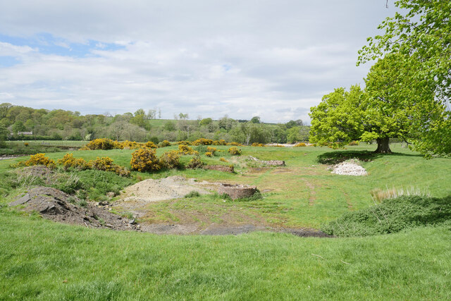
Crow Wood is a picturesque forest located in the county of Northumberland, England. Covering an area of approximately 500 acres, it is nestled within the stunning Northumberland National Park. The wood is a diverse mix of deciduous and coniferous trees, creating a rich and vibrant ecosystem.
The forest boasts a wide variety of tree species, including oak, beech, birch, and pine, which provide a lush canopy of greenery. This creates a serene and peaceful atmosphere, making it a popular destination for nature enthusiasts and hikers alike.
Crow Wood is home to a diverse range of wildlife, including deer, squirrels, badgers, and a plethora of bird species. Birdwatchers flock to the area to catch a glimpse of rare species such as the pied flycatcher and the red kite.
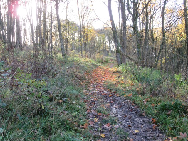
The wood is crisscrossed by a network of well-maintained walking trails, allowing visitors to explore the natural beauty at their own pace. These trails cater to all levels of fitness, from leisurely strolls to more challenging hikes. Along the way, visitors can enjoy breathtaking views of the surrounding countryside, including rolling hills and distant moorlands.
In addition to its natural wonders, Crow Wood also offers various amenities for visitors. There are picnic areas and benches scattered throughout the forest, providing the perfect spot to relax and enjoy a packed lunch. The wood is also equipped with visitor facilities, including parking areas and information boards, ensuring a pleasant and informative visit.
Overall, Crow Wood is a captivating destination for anyone seeking a tranquil escape into nature's embrace. Its diverse flora and fauna, coupled with its well-maintained trails and amenities, make it a true gem within the Northumberland countryside.
If you have any feedback on the listing, please let us know in the comments section below.
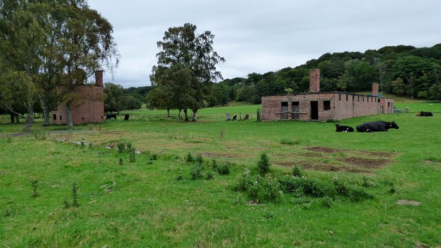
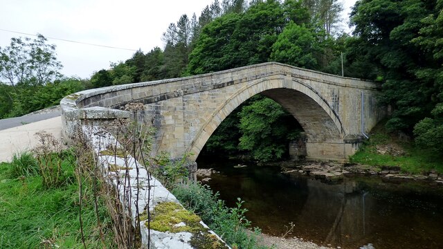
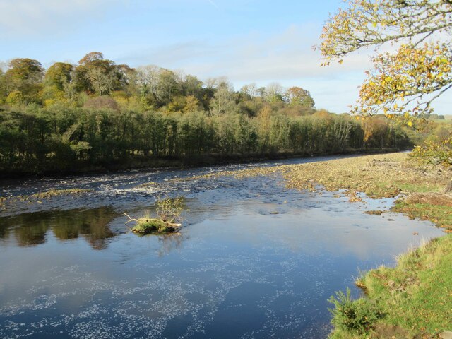
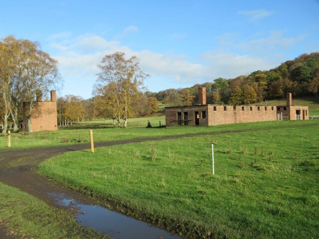
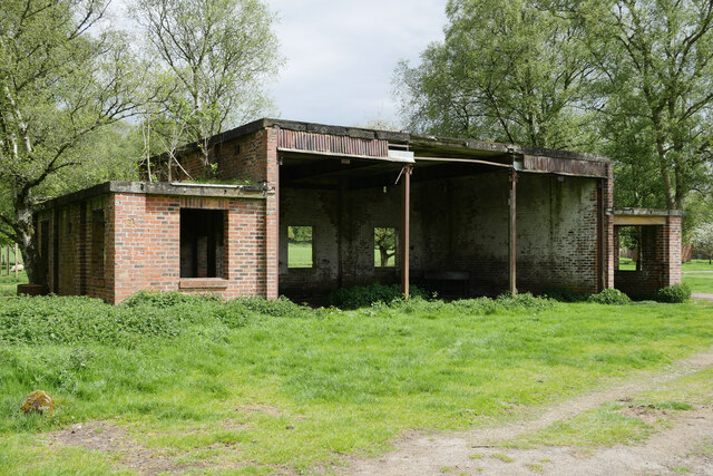
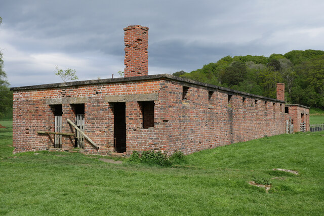
Crow Wood Images
Images are sourced within 2km of 54.948143/-2.5121577 or Grid Reference NY6761. Thanks to Geograph Open Source API. All images are credited.


Crow Wood is located at Grid Ref: NY6761 (Lat: 54.948143, Lng: -2.5121577)
Unitary Authority: Northumberland
Police Authority: Northumbria
What 3 Words
///umbrellas.mashing.rents. Near Greenhead, Northumberland
Nearby Locations
Related Wikis

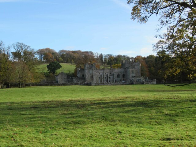
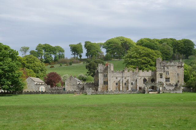
Featherstone Castle
Featherstone Castle, a Grade I listed building, is a large Gothic style country mansion situated on the bank of the River South Tyne about 3 miles (5 km...

Featherstone, Northumberland
Featherstone is a village in Northumberland, England about 17 miles (27 km) west of Hexham, and about 3 kilometres (2 mi) south of Greenhead. == Featherstone... ==

Featherstone Park railway station
Featherstone Park was a railway station on the Alston Branch Line, which ran between Haltwhistle and Alston. The station, situated 3 miles (5 km) south...
Rowfoot
Rowfoot is a hamlet in Northumberland, England at grid reference NY6849860722. == External links == Media related to Rowfoot at Wikimedia Commons
Burnfoot River Shingle and Wydon Nabb
Burnfoot River Shingle and Wydon Nabb is the name given to a Site of Special Scientific Interest (SSSI) in Northumberland, North East England. Burnfoot...

Coanwood railway station
Coanwood was a railway station on the Alston Branch Line, which ran between Haltwhistle and Alston. The station, situated 4 miles (6 km) south-west of...

Coanwood
Coanwood is a village in Northumberland, England, and is part of the Parish of Haltwhistle. It is about four miles (6 km) to the south-west of Haltwhistle...

Blenkinsop Hall
Blenkinsop Hall (grid reference NY68186412) is a privately owned castellated 19th-century country house situated on the banks of the Tipalt Burn near Greenhead...
Nearby Amenities
Located within 500m of 54.948143,-2.5121577Have you been to Crow Wood?
Leave your review of Crow Wood below (or comments, questions and feedback).