Bishop's Linn
Waterfall in Northumberland
England
Bishop's Linn

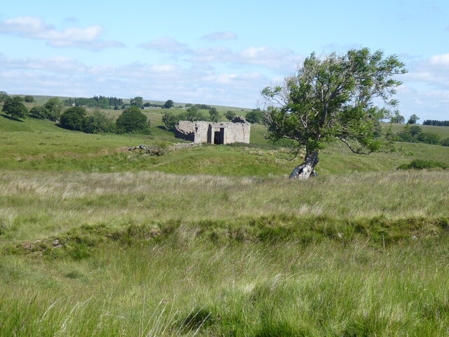
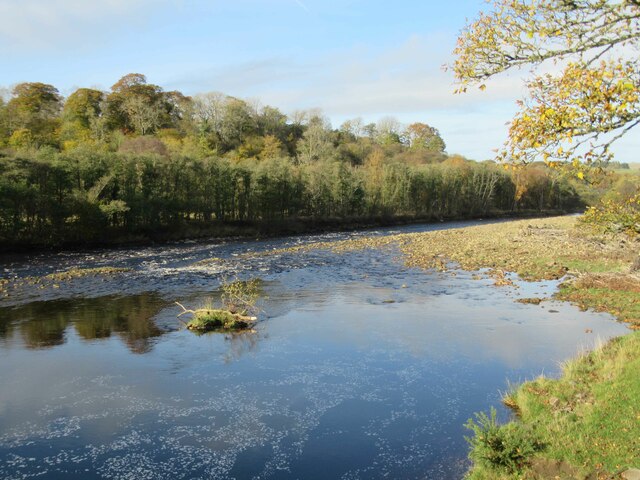
Bishop's Linn, also known as Bishop's Falls, is a picturesque waterfall nestled in the heart of Northumberland, England. Located within the North Pennines Area of Outstanding Natural Beauty, this stunning natural wonder is a popular destination for nature enthusiasts and visitors seeking tranquility.
The waterfall is situated along the River Allen, near the village of Allendale, and is accessible via a scenic trail that winds through lush greenery and meandering paths. As the river cascades down a series of rocky ledges, it creates a mesmerizing display of rushing water and gentle mist. The height of the falls reaches approximately 20 feet, creating a dramatic and captivating spectacle.
Surrounded by ancient woodland and a diverse array of wildlife, Bishop's Linn offers a haven for various bird species, including dippers and kingfishers, as well as otters and other small mammals. The surrounding landscape provides a picturesque backdrop, with rolling hills and vibrant foliage that change with the seasons.
Visitors can enjoy the tranquility of the falls by picnicking on the nearby grassy banks, or simply sitting and immersing themselves in the soothing sounds of nature. The area is also a popular spot for photographers and artists, who can capture the beauty of Bishop's Linn in their works.
Whether you are seeking a peaceful retreat, a chance to connect with nature, or an opportunity to capture stunning photographs, Bishop's Linn is a must-visit destination in Northumberland. Its natural beauty and serene atmosphere make it a delightful spot to unwind and appreciate the wonders of the natural world.
If you have any feedback on the listing, please let us know in the comments section below.
Bishop's Linn Images
Images are sourced within 2km of 54.946031/-2.5164084 or Grid Reference NY6761. Thanks to Geograph Open Source API. All images are credited.


Bishop's Linn is located at Grid Ref: NY6761 (Lat: 54.946031, Lng: -2.5164084)
Unitary Authority: Northumberland
Police Authority: Northumbria
What 3 Words
///fancy.grudging.inhaled. Near Greenhead, Northumberland
Nearby Locations
Related Wikis

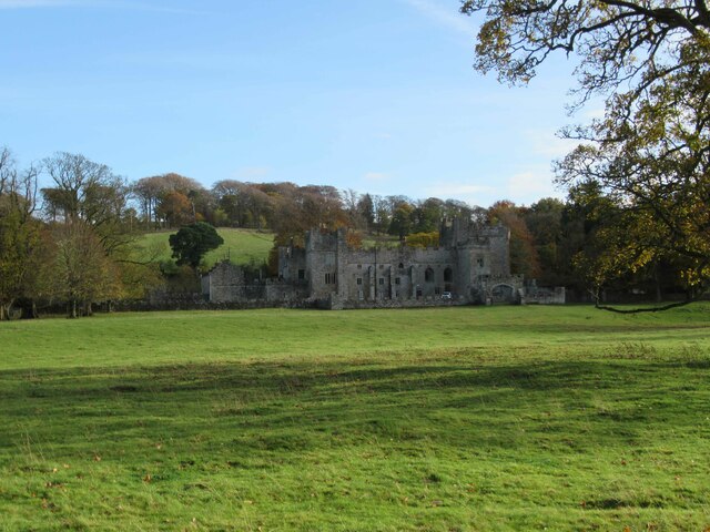
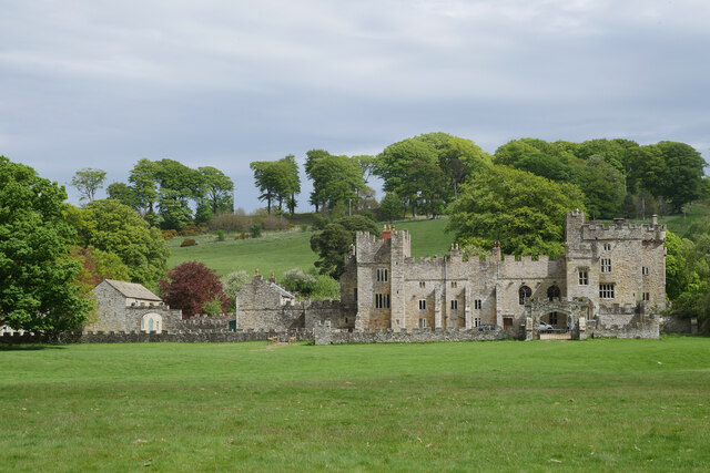
Featherstone Castle
Featherstone Castle, a Grade I listed building, is a large Gothic style country mansion situated on the bank of the River South Tyne about 3 miles (5 km...

Featherstone, Northumberland
Featherstone is a village in Northumberland, England about 17 miles (27 km) west of Hexham, and about 3 kilometres (2 mi) south of Greenhead. == Featherstone... ==

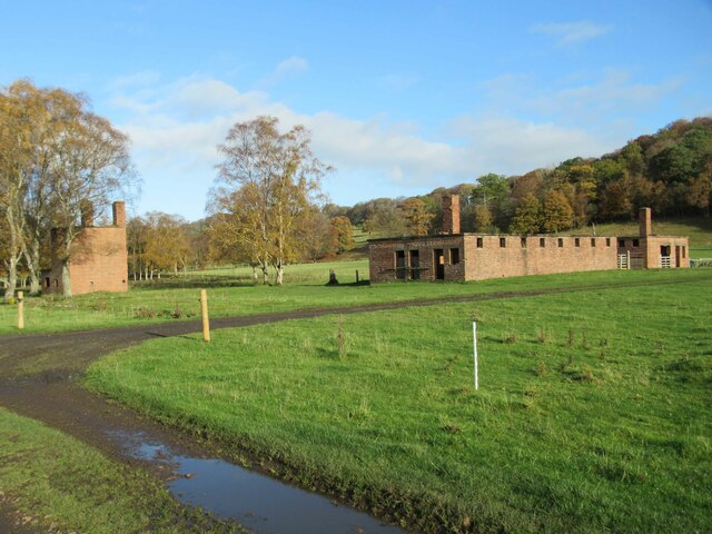
Featherstone Park railway station
Featherstone Park was a railway station on the Alston Branch Line, which ran between Haltwhistle and Alston. The station, situated 3 miles (5 km) south...
Rowfoot
Rowfoot is a hamlet in Northumberland, England at grid reference NY6849860722. == External links == Media related to Rowfoot at Wikimedia Commons
Nearby Amenities
Located within 500m of 54.946031,-2.5164084Have you been to Bishop's Linn?
Leave your review of Bishop's Linn below (or comments, questions and feedback).