Eardswick Wood
Wood, Forest in Cheshire
England
Eardswick Wood
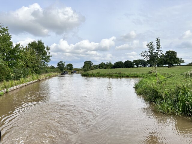
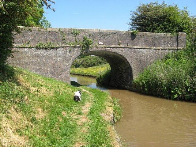
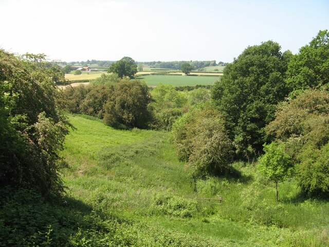
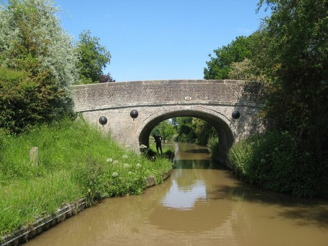
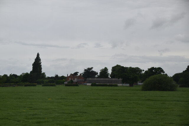
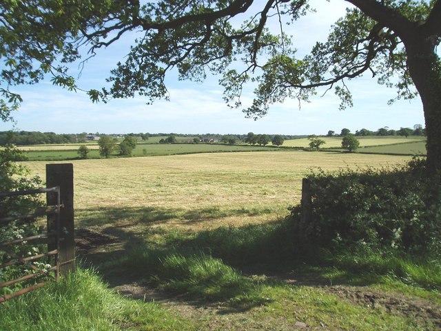
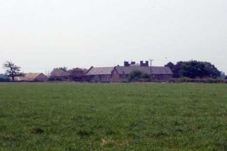
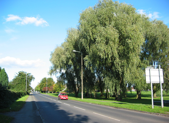
Eardswick Wood is a picturesque woodland located in the county of Cheshire, England. Situated in the heart of the countryside, it covers an area of approximately 50 acres and is known for its natural beauty, tranquility, and diverse flora and fauna.
The wood is mainly composed of broadleaf trees such as oak, beech, and birch, which provide a dense canopy, creating a shaded and cool environment even on hot summer days. The forest floor is carpeted with a variety of wildflowers, ferns, and mosses, adding to the enchanting ambiance.
Eardswick Wood offers a haven for wildlife, with numerous species calling it home. Visitors may come across a wide range of birds, including woodpeckers, owls, and various songbirds. Squirrels can be seen scampering through the branches, while rabbits and foxes occasionally make an appearance. The wood is also home to a variety of insects, including butterflies and bees, making it an ideal spot for nature enthusiasts and photographers.
There are several well-maintained footpaths crisscrossing the wood, allowing visitors to explore its beauty at their leisure. These paths lead to secluded clearings and small ponds, providing opportunities for peaceful reflection and wildlife observation. The wood is also a popular spot for leisurely walks and picnics, attracting both locals and tourists alike.
Eardswick Wood offers a welcome escape from the bustling city life, providing a serene and natural environment for visitors to immerse themselves in the beauty of the Cheshire countryside.
If you have any feedback on the listing, please let us know in the comments section below.
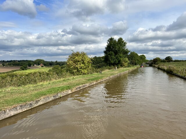
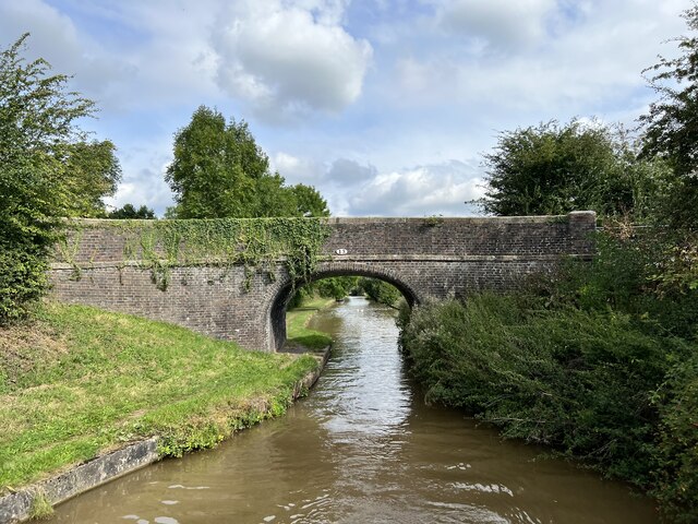
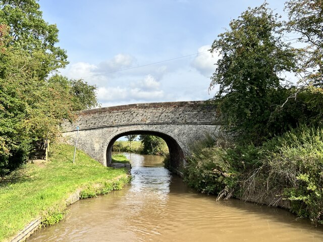
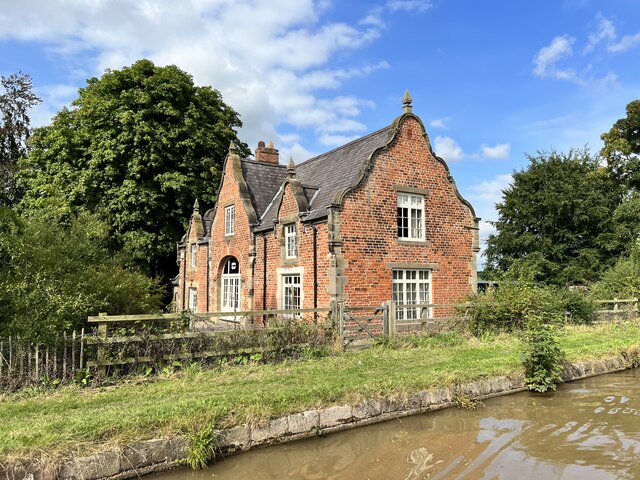
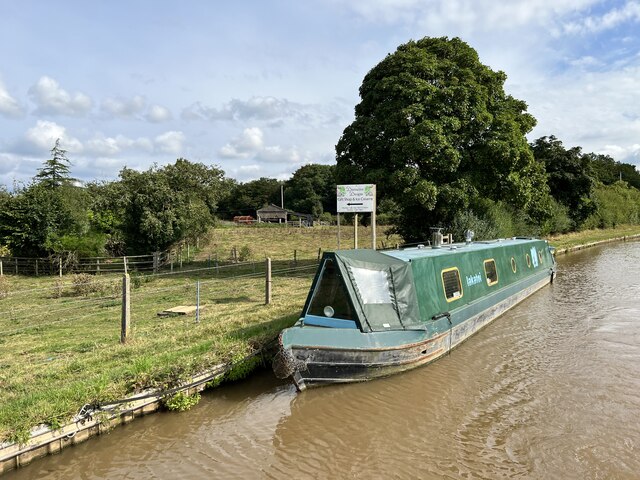
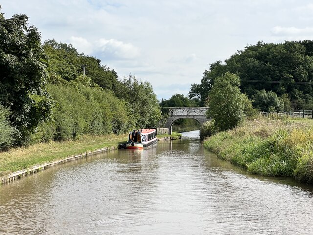
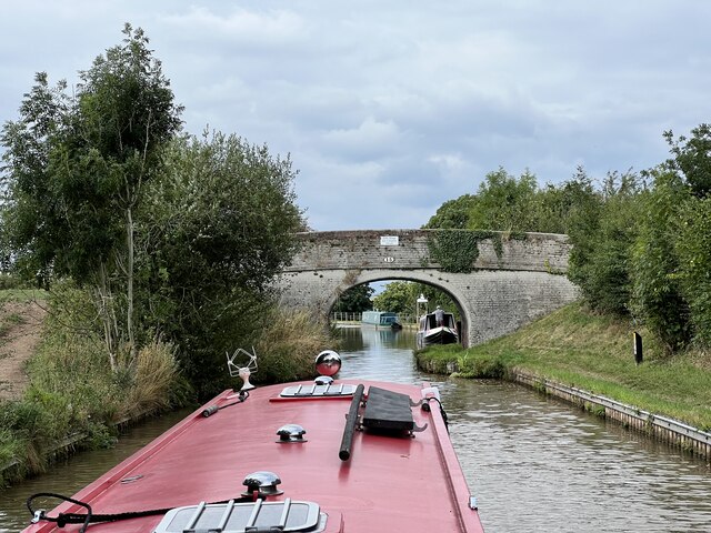
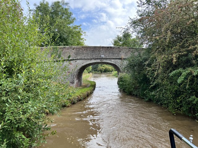
Eardswick Wood Images
Images are sourced within 2km of 53.139794/-2.4946142 or Grid Reference SJ6760. Thanks to Geograph Open Source API. All images are credited.
Eardswick Wood is located at Grid Ref: SJ6760 (Lat: 53.139794, Lng: -2.4946142)
Unitary Authority: Cheshire East
Police Authority: Cheshire
What 3 Words
///slouched.bitter.stutter. Near Crewe, Cheshire
Nearby Locations
Related Wikis
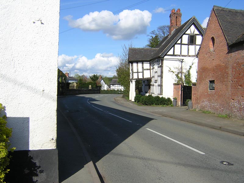
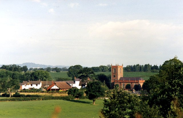
Church Minshull
Church Minshull is a village and civil parish in the unitary authority of Cheshire East and the ceremonial county of Cheshire, England. The village is...

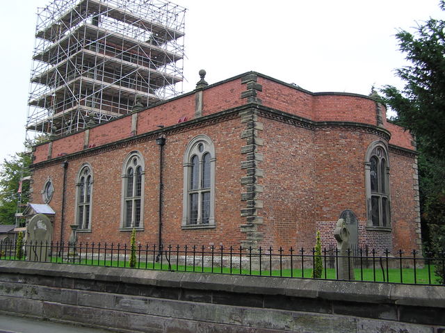
St Bartholomew's Church, Church Minshull
St Bartholomew's Church is in the village of Church Minshull, Cheshire, England. It is recorded in the National Heritage List for England as a designated...

Minshull Vernon United Reformed Church
Minshull Vernon United Reformed Church is located in Cross Lane, Minshull Vernon, Cheshire, England. It is recorded in the National Heritage List for England...
Minshull Vernon
Minshull Vernon is a hamlet and civil parish in the unitary authority of Cheshire East and the ceremonial county of Cheshire, England. The hamlet lies...

St Peter's Church, Minshull Vernon
St Peter's Church is in Middlewich Road, Minshull Vernon, Cheshire, England. It is an active Anglican parish church in the deanery of Nantwich, the archdeaconry...
A530 road
The A530 road is a road linking the A525 east of Whitchurch, Shropshire, England with the A559 east of Northwich, in Cheshire. The road follows the route...

Minshull Vernon railway station
Minshull Vernon railway station was a station on the Grand Junction Railway serving the villages of Warmington and Minshull Vernon. It opened on 4 July...

Leighton Hospital
Leighton Hospital is a hospital located to the northwest of the town of Crewe in the county of Cheshire, England. It is managed by the Mid Cheshire Hospitals...
Nearby Amenities
Located within 500m of 53.139794,-2.4946142Have you been to Eardswick Wood?
Leave your review of Eardswick Wood below (or comments, questions and feedback).