Cross Lane

Settlement in Cheshire

England

Cross Lane

Middlewich Branch Looking towards Church Minshull.
Middlewich Branch Credit: Andrew Abbott

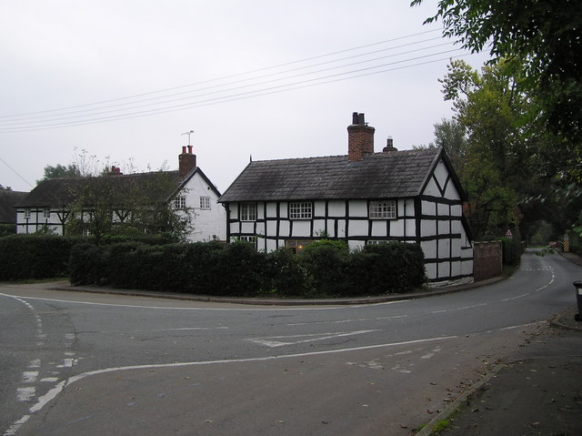
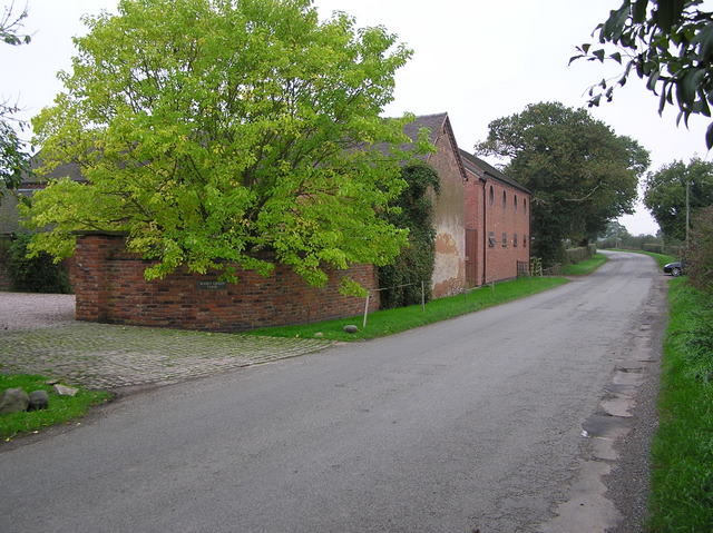
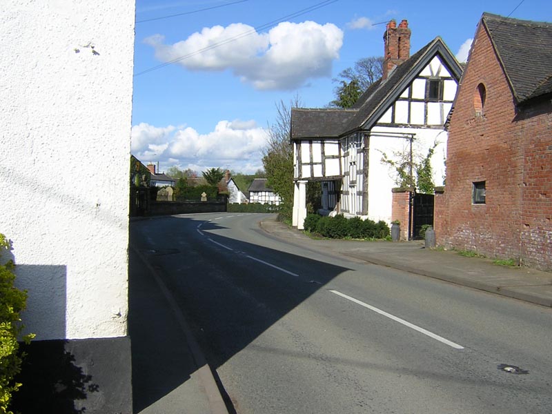
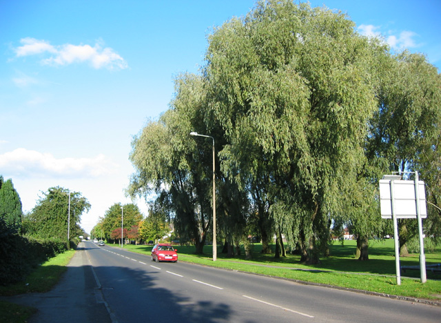
Cross Lane is a small village located in the county of Cheshire, England. Situated in the northwestern part of the county, it falls within the administrative boundaries of the borough of Warrington. The village is known for its picturesque setting and rural charm.

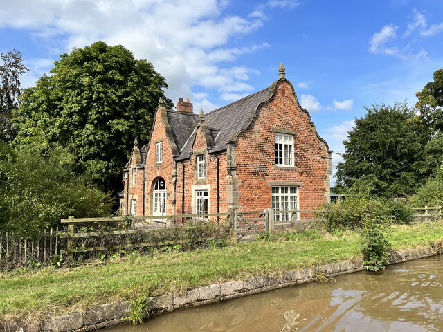
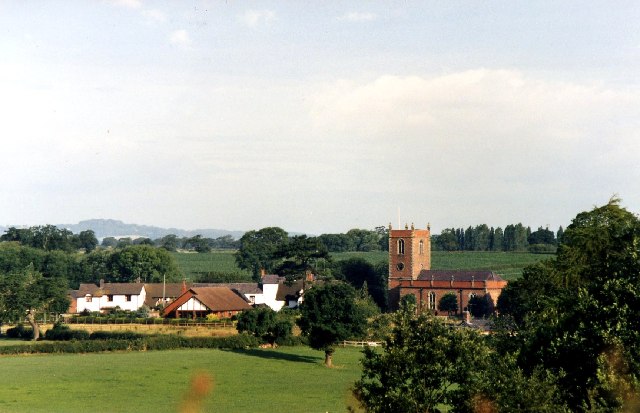
The origins of Cross Lane can be traced back to medieval times, and evidence of its long history can be seen in the architecture of some of its buildings. The village is primarily residential, with a small number of shops and amenities catering to the local community. The houses in Cross Lane are predominantly traditional in style, showcasing a mix of architectural designs from different eras.

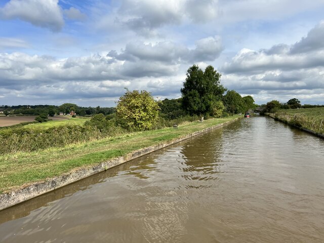
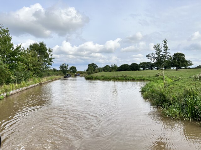
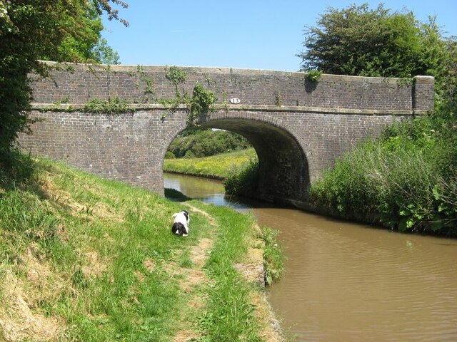
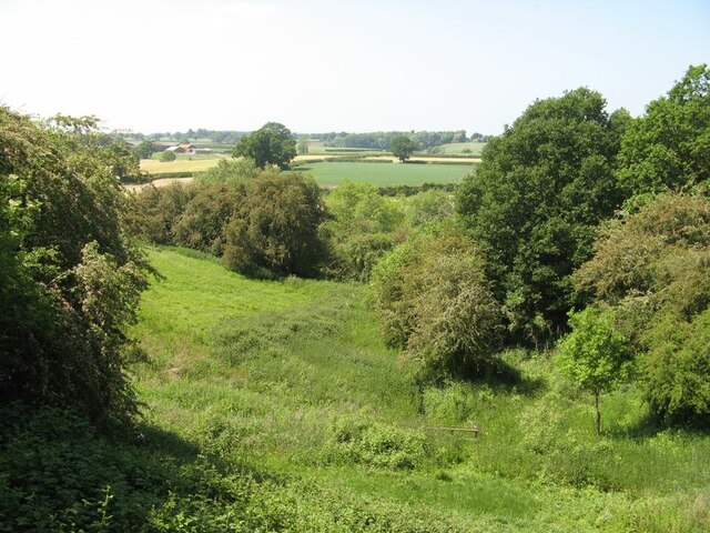
The village is surrounded by beautiful countryside, with rolling hills and fields stretching as far as the eye can see. It offers a tranquil and peaceful atmosphere, making it an ideal place for those seeking a break from the hustle and bustle of city life.

Despite its rural location, Cross Lane benefits from good transportation links. The nearby M6 motorway provides easy access to the larger towns and cities in the region, while the village is also served by regular bus services connecting it to neighboring areas.

For outdoor enthusiasts, Cross Lane is an excellent base for exploring the surrounding countryside. The nearby Delamere Forest offers opportunities for hiking, cycling, and wildlife spotting, while the Cheshire Plain is renowned for its scenic beauty.

In summary, Cross Lane is a charming village in Cheshire, offering a peaceful and idyllic setting for residents and visitors alike. With its rich history, beautiful surroundings, and convenient location, it is a place that truly captures the essence of rural England.

If you have any feedback on the listing, please let us know in the comments section below.
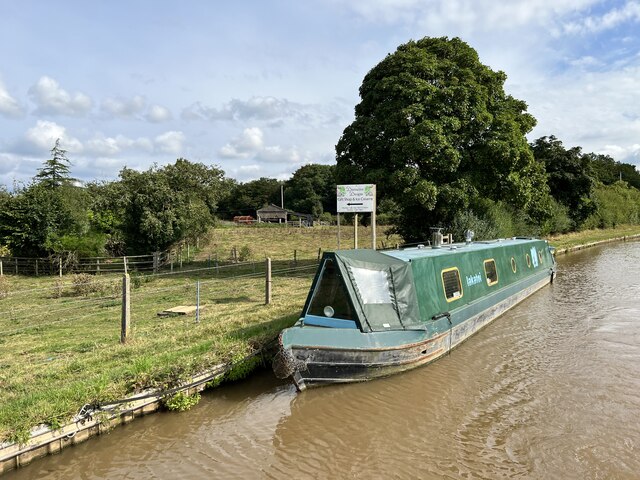
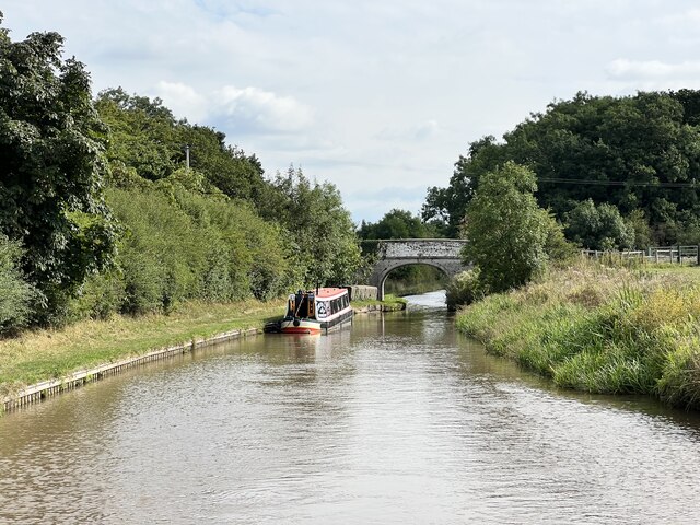
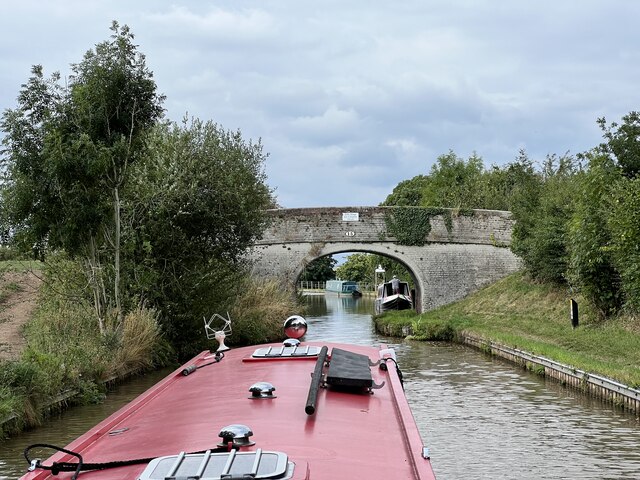
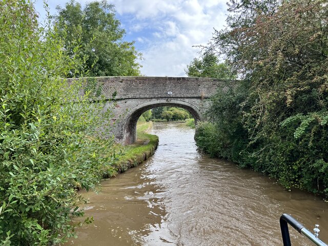
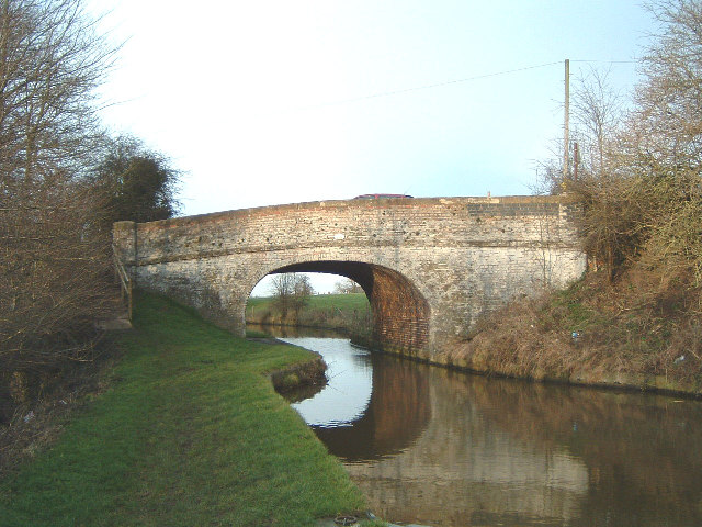
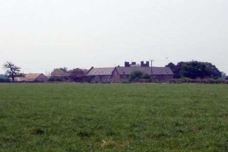
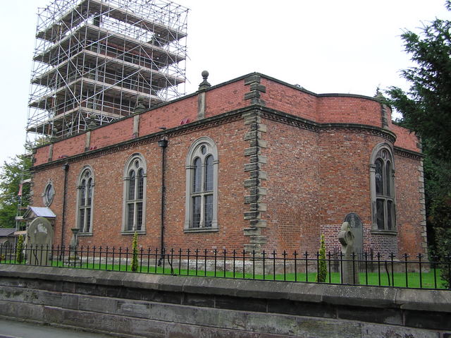
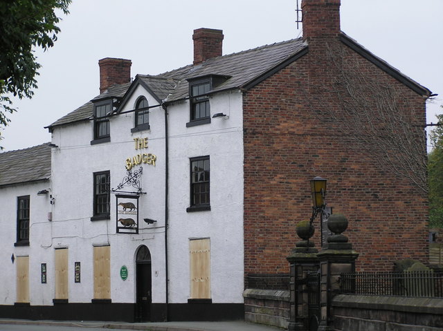
Cross Lane Images

Images are sourced within 2km of 53.136126/-2.4947216 or Grid Reference SJ6760. Thanks to Geograph Open Source API. All images are credited.

Middlewich Branch Looking towards Church Minshull.
Middlewich Branch
Looking towards Church Minshull.
Eardswick Hall Bridge Grade II listed. Listing number 1320251. Accommodation bridge. 1827-33. Telford design, brick with stone band and copings. Single basket arch, solid parapet and piers. Brick towpath surface.
Eardswick Hall Bridge
Grade II listed. Listing number 1320251. Accommodation bridge. 1827-33. Telford design, brick with stone band and copings. Single basket arch, solid parapet and piers. Brick towpath surface.
Minshull Hill Bridge Grade II listed. Listing number 1138693. Canal bridge circa 1830. A highway bridge over the Middlewich spur of the Shropshire Union Canal which links the Trent and Mersey Canal at Middlewich with the Shropshire Union Canal at Barbridge. Skew arched soffite, in English Bond, of hard burnt mainly blue bricks rising from level brick base 3'0" high. Stone band at carriageway level and stone coping on parapet of English Garden Wall Bond which has curves of slight radius towards end piers.
Minshull Hill Bridge
Grade II listed. Listing number 1138693. Canal bridge circa 1830. A highway bridge over the Middlewich spur of the Shropshire Union Canal which links the Trent and Mersey Canal at Middlewich with the Shropshire Union Canal at Barbridge. Skew arched soffite, in English Bond, of hard burnt mainly blue bricks rising from level brick base 3'0" high. Stone band at carriageway level and stone coping on parapet of English Garden Wall Bond which has curves of slight radius towards end piers.
The Wharf, Church Minshull Grade II listed. Listing number 1310901. Former canal warehouse and cottage circa.1830 said to be by Thomas Telford, now a dwelling. Red brick with slate roof in late C17 style, 2 storeys 3 bays. Large carriageway arch in forward projecting bay with stone dressing up to moulded springers and brick arch with keystone. This is flanked west by a french window and east by a casement. Stone dressing to quoins and window openings. Central first floor casement has sill at eaves level and is wholly in a large shaped gable, flanking windows are higher but in smaller shaped gables. The east and west main gables are also shaped. The building has its east gable only a few feet from the tow path of the Middlewich spur of Shropshire Union Canal.
The Wharf, Church Minshull
Grade II listed. Listing number 1310901. Former canal warehouse and cottage circa.1830 said to be by Thomas Telford, now a dwelling. Red brick with slate roof in late C17 style, 2 storeys 3 bays. Large carriageway arch in forward projecting bay with stone dressing up to moulded springers and brick arch with keystone. This is flanked west by a french window and east by a casement. Stone dressing to quoins and window openings. Central first floor casement has sill at eaves level and is wholly in a large shaped gable, flanking windows are higher but in smaller shaped gables. The east and west main gables are also shaped. The building has its east gable only a few feet from the tow path of the Middlewich spur of Shropshire Union Canal.
Middlewich Branch Near Higher Elms Farm.
Middlewich Branch
Near Higher Elms Farm.
Middlewich Branch Near Higher Elms Farm.
Middlewich Branch
Near Higher Elms Farm.
Bridge 15 on the Middlewich Branch Near Higher Elms Farm.
Bridge 15 on the Middlewich Branch
Near Higher Elms Farm.
Hollingshead Bridge Grade II listed. Listing number 1320249. Accommodation bridge. 1827-33. Telford design. Skew built. Washed brick with stone band and copings. Single-basket arch with saw-toothed arch ring, solid parapet and piers. Towpath retaining wall with stone coping.
Hollingshead Bridge
Grade II listed. Listing number 1320249. Accommodation bridge. 1827-33. Telford design. Skew built. Washed brick with stone band and copings. Single-basket arch with saw-toothed arch ring, solid parapet and piers. Towpath retaining wall with stone coping.
Polestead Wood Winding Hole On the Middlewich Branch.
Polestead Wood Winding Hole
On the Middlewich Branch.
Eardswick Hall bridge 13 A bridge very much in the Shropshire Union style, but built much later and almost entirely of brick, there being no local source of stone in any case.
Eardswick Hall bridge 13
A bridge very much in the Shropshire Union style, but built much later and almost entirely of brick, there being no local source of stone in any case.
Weaver valley The River Weaver is not far away here as it meanders towards the line of the canal. The valley side is quite steep and densely vegetated.
Weaver valley
The River Weaver is not far away here as it meanders towards the line of the canal. The valley side is quite steep and densely vegetated.
Church Minshull village from the Shropshire Union Middlewich Branch Canal Great canalling holiday from Middlewich to Llangollen!
Church Minshull village from the Shropshire Union Middlewich Branch Canal
Great canalling holiday from Middlewich to Llangollen!
Minshullhill Bridge (14) - Shropshire Union canal Also known as Minshull Hill Bridge. 
Church Minshull Village centre is a quarter mile down the road photo left.
Minshullhill Bridge (14) - Shropshire Union canal
Also known as Minshull Hill Bridge. Church Minshull Village centre is a quarter mile down the road photo left.
Dairy Farm, Minshull Vernon Minshull Vernon. View from Crewe & Nantwich Circular Walk towards Dairy Farm. This farm is unimaginatively, but very appropriately, named! In the middle of flat dairy farming countryside north of Crewe.
Dairy Farm, Minshull Vernon
Minshull Vernon. View from Crewe & Nantwich Circular Walk towards Dairy Farm. This farm is unimaginatively, but very appropriately, named! In the middle of flat dairy farming countryside north of Crewe.
St Bartholomew's Church, Church Minshull Church Minshull is 5 miles from Crewe, 6 miles from Nantwich and 4 miles from Winsford. It received a mention in the Domesday Book and is now a conservation area.
<span class="nowrap"><a title="www.churchminshull.org.uk" rel="nofollow ugc noopener" href="http://www.churchminshull.org.uk">Link</a><img style="margin-left:2px;" alt="External link" title="External link - shift click to open in new window" src="https://s1.geograph.org.uk/img/external.png" width="10" height="10"/></span>
St Bartholomew's Church, Church Minshull
Church Minshull is 5 miles from Crewe, 6 miles from Nantwich and 4 miles from Winsford. It received a mention in the Domesday Book and is now a conservation area. LinkExternal link
The Badger, Church Minshull
Cottages at Church Minshull These black and white cottages stand on the B5074 (Cross Lane) at Church Minshull, near Crewe.
Cottages at Church Minshull
These black and white cottages stand on the B5074 (Cross Lane) at Church Minshull, near Crewe.
Wades Green Farm Near the village of Church Minshull, Cheshire <a href="https://www.geograph.org.uk/gridref/SJ6660">SJ6660</a>
Wades Green Farm
Near the village of Church Minshull, Cheshire SJ6660
Show me another place!

Cross Lane is located at Grid Ref: SJ6760 (Lat: 53.136126, Lng: -2.4947216)

Unitary Authority: Cheshire East

Police Authority: Cheshire

What 3 Words

///thorax.mild.goofy. Near Crewe, Cheshire

Related Wikis

Church Minshull

Church Minshull is a village and civil parish in the unitary authority of Cheshire East and the ceremonial county of Cheshire, England. The village is...

St Bartholomew's Church, Church Minshull

St Bartholomew's Church is in the village of Church Minshull, Cheshire, England. It is recorded in the National Heritage List for England as a designated...

Minshull Vernon United Reformed Church

Minshull Vernon United Reformed Church is located in Cross Lane, Minshull Vernon, Cheshire, England. It is recorded in the National Heritage List for England...

St Peter's Church, Minshull Vernon

St Peter's Church is in Middlewich Road, Minshull Vernon, Cheshire, England. It is an active Anglican parish church in the deanery of Nantwich, the archdeaconry...

Minshull Vernon

Minshull Vernon is a hamlet and civil parish in the unitary authority of Cheshire East and the ceremonial county of Cheshire, England. The hamlet lies...

A530 road

The A530 road is a road linking the A525 east of Whitchurch, Shropshire, England with the A559 east of Northwich, in Cheshire. The road follows the route...

Leighton Hospital

Leighton Hospital is a hospital located to the northwest of the town of Crewe in the county of Cheshire, England. It is managed by the Mid Cheshire Hospitals...

Minshull Vernon railway station

Minshull Vernon railway station was a station on the Grand Junction Railway serving the villages of Warmington and Minshull Vernon. It opened on 4 July...

Nearby Amenities

Located within 500m of 53.136126,-2.4947216
Power: tower
Lat/Long: 53.133035/-2.493404
Power: tower
Lat/Long: 53.1356119/-2.4919237
Power: tower
Lat/Long: 53.1376214/-2.4907285
Barrier: stile
Material: wood
Step Count: 2
Stile: stepover
Lat/Long: 53.1384497/-2.4930461
The data included in this document is from www.openstreetmap.org. The data is made available under ODbL.

Have you been to Cross Lane?

Leave your review of Cross Lane below (or comments, questions and feedback).