Milburyheath Plantation
Wood, Forest in Gloucestershire
England
Milburyheath Plantation
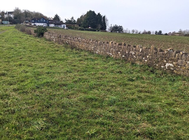
Milburyheath Plantation is a charming wood located in Gloucestershire, England. Situated in the southern part of the county, the plantation is nestled within the beautiful Forest of Dean, a renowned woodland area spanning over 42 square miles.
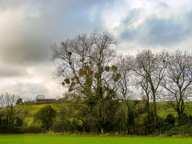
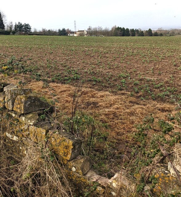
Covering a vast area of approximately 100 acres, Milburyheath Plantation boasts a diverse range of tree species, creating a rich and thriving ecosystem. The wood is predominantly composed of broadleaf trees such as oak, beech, and ash, with occasional clusters of conifers adding to its scenic beauty. The dense foliage provides a lush habitat for various wildlife, including deer, foxes, badgers, and a plethora of bird species.
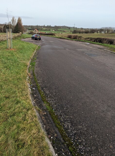
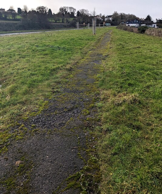
Visitors can explore the plantation through a network of well-maintained trails, allowing for leisurely walks or invigorating hikes. The pathways wind through the woodland, offering glimpses of enchanting clearings and tranquil streams that meander through the plantation. In spring, the forest floor comes alive with a vibrant carpet of bluebells, creating a breathtaking sight that attracts nature enthusiasts and photographers alike.
Milburyheath Plantation is a haven for outdoor enthusiasts, offering opportunities for activities such as birdwatching, wildlife spotting, and nature photography. The peaceful ambiance and pristine surroundings make it an ideal destination for those seeking solace amidst nature's beauty.
Managed sustainably, the plantation also serves as a source of timber, contributing to the local economy and ensuring the long-term viability of the woodland. With its idyllic setting and diverse ecosystem, Milburyheath Plantation is a true gem within the Gloucestershire countryside, providing a sanctuary for both nature and humans alike.
If you have any feedback on the listing, please let us know in the comments section below.
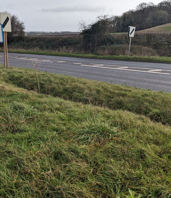
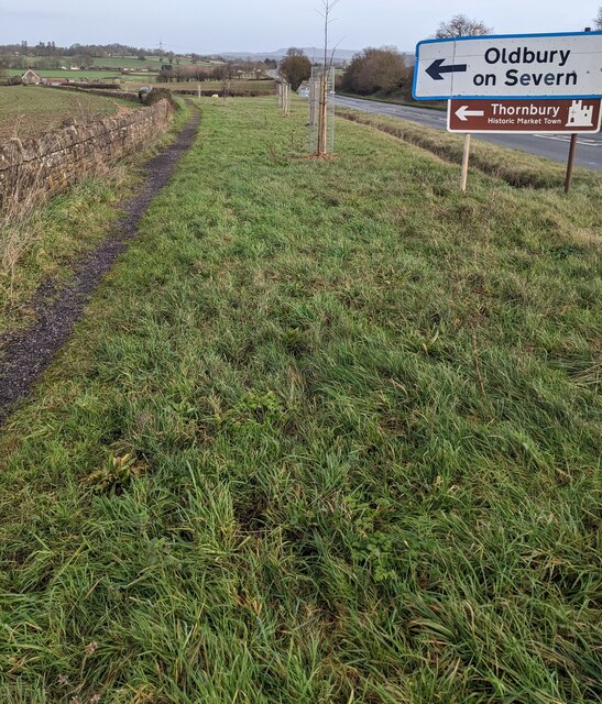
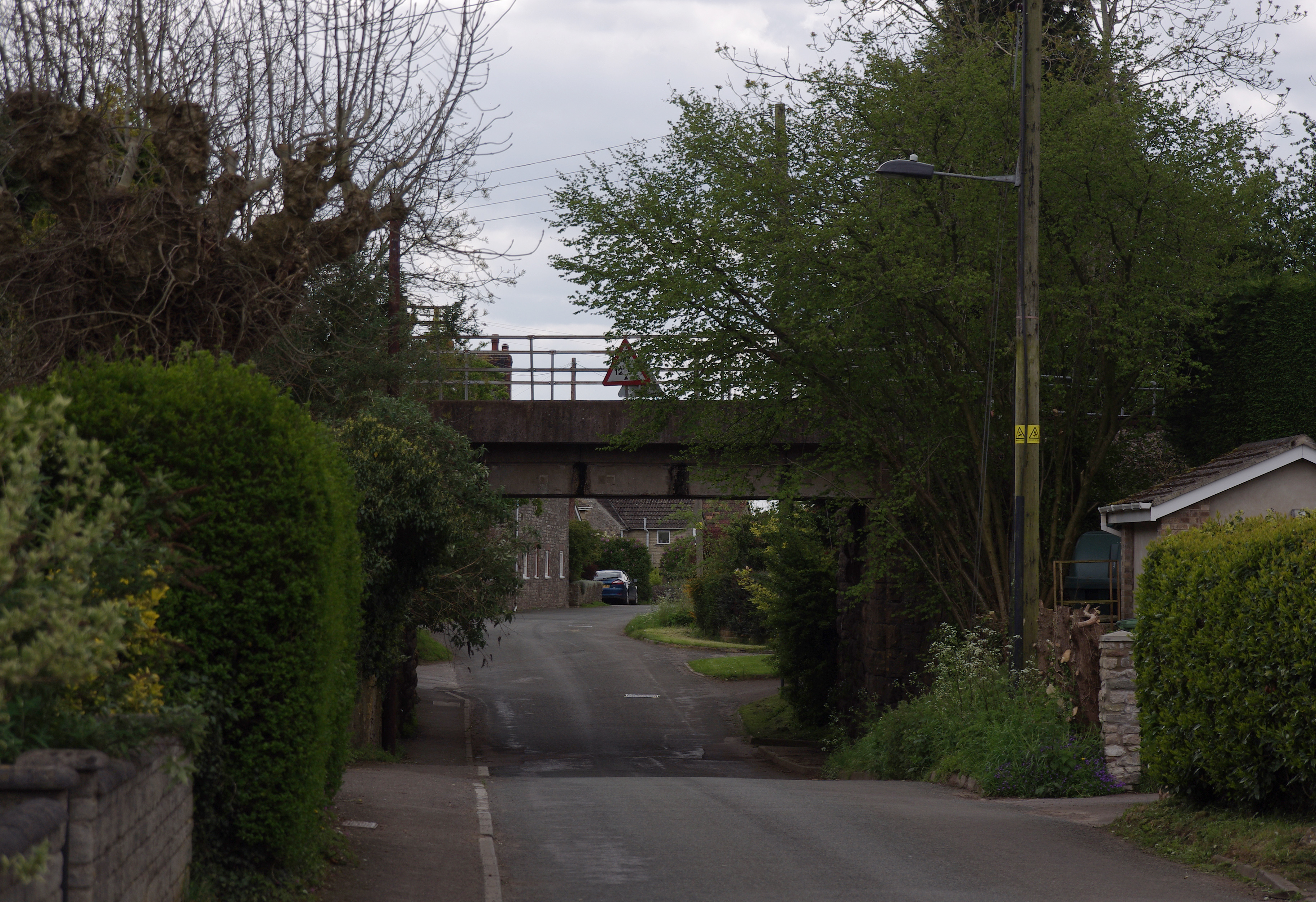
Milburyheath Plantation Images
Images are sourced within 2km of 51.605289/-2.4778124 or Grid Reference ST6789. Thanks to Geograph Open Source API. All images are credited.


Milburyheath Plantation is located at Grid Ref: ST6789 (Lat: 51.605289, Lng: -2.4778124)
Unitary Authority: South Gloucestershire
Police Authority: Avon and Somerset
What 3 Words
///vaccines.culminate.staple. Near Tytherington, Gloucestershire
Nearby Locations
Related Wikis

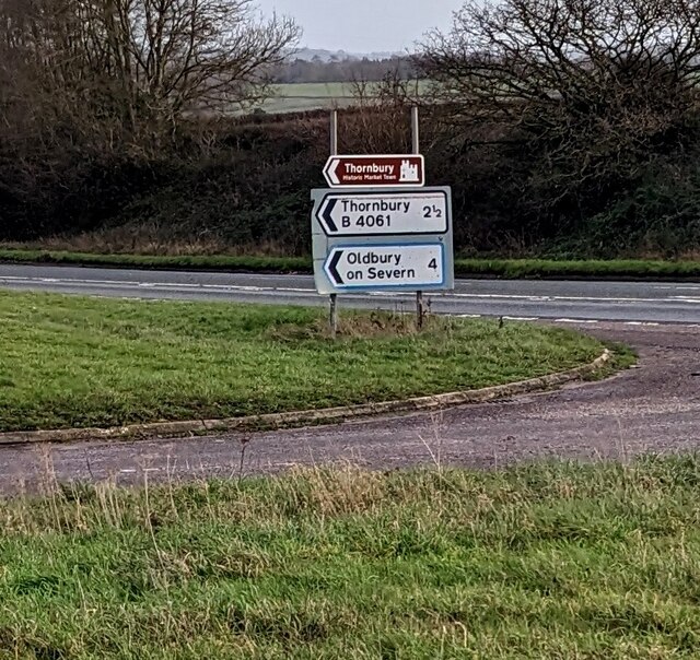
Milbury Heath
Milbury Heath is a hamlet in South Gloucestershire, England, located east of Thornbury. The hamlet has a garden centre and a few other farm shops. The...
Tytherington Rocks F.C.
Tytherington Rocks F.C. is a football club based in Tytherington, near Thornbury, Gloucestershire, England. The club competes in the Hellenic League Division...
Buckover Road Cutting
Buckover Road Cutting (grid reference ST665906) is a 1.7 hectare geological Site of Special Scientific Interest near the town of Thornbury, South Gloucestershire...
Tytherington, Gloucestershire
Tytherington is a village in the civil parish of Tytherington and Itchington, in the South Gloucestershire district, in the ceremonial county of Gloucestershire...
Tytherington Quarry
Tytherington Quarry (grid reference ST662888) is a 0.9 hectare geological Site of Special Scientific Interest near the village of Tytherington, South Gloucestershire...
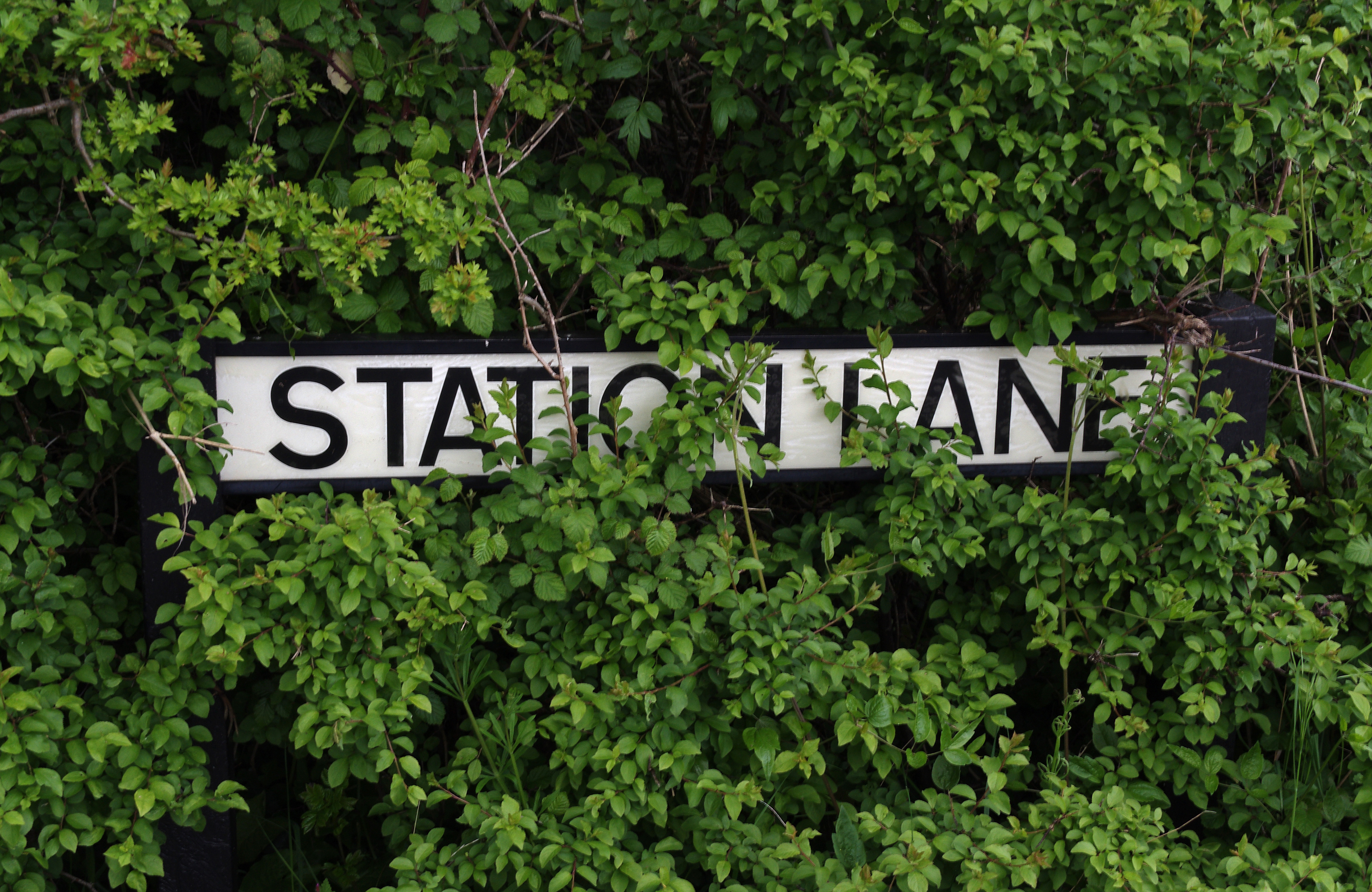
Tytherington railway station
Tytherington railway station served the village of Tytherington in South Gloucestershire. The station was on the Yate to Thornbury branch line that was...
Brinkmarsh Quarry
Brinkmarsh Quarry (grid reference ST674913) is a 0.5 hectare geological Site of Special Scientific Interest near the town of Thornbury, South Gloucestershire...
Whitfield, Gloucestershire
Whitfield is a hamlet in South Gloucestershire, England. == Location == It is on the A38 near Falfield. Located just beyond the B4061 junction, the rural...
Nearby Amenities
Located within 500m of 51.605289,-2.4778124Have you been to Milburyheath Plantation?
Leave your review of Milburyheath Plantation below (or comments, questions and feedback).