Cook's Wood
Wood, Forest in Somerset Mendip
England
Cook's Wood

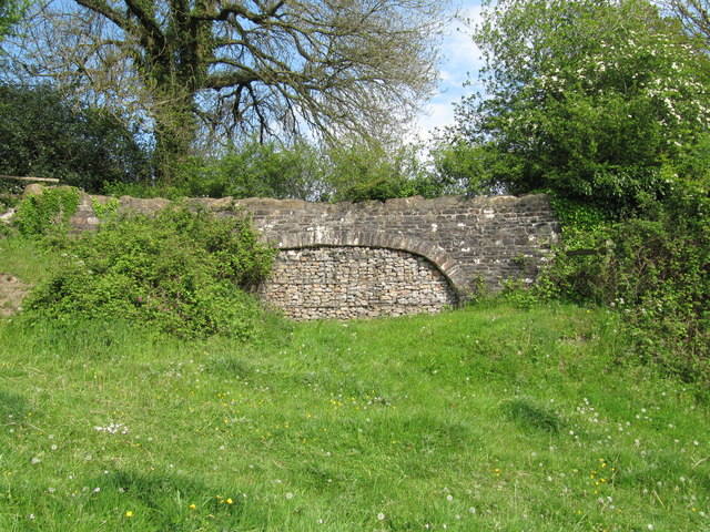
Cook's Wood is a charming woodland located in Somerset, England. Nestled in the rural countryside, this forested area covers approximately 50 acres of land. The wood is well-known for its natural beauty and serene atmosphere, attracting both locals and tourists alike.
As visitors enter Cook's Wood, they are greeted by a diverse range of tree species, including oak, beech, and birch trees. The lush vegetation provides a picturesque backdrop, especially during the spring and summer months when the wood is filled with vibrant colors and fragrant blossoms. The forest floor is adorned with a carpet of ferns, moss, and wildflowers, creating a delightful sight for nature enthusiasts.
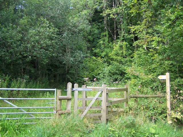
The wood offers a variety of recreational activities for visitors to enjoy. There are well-maintained walking trails that wind through the woodland, allowing visitors to explore its many hidden treasures. The peaceful ambiance of the wood makes it an ideal spot for picnics, birdwatching, and photography. The wood is also home to a rich array of wildlife, including deer, squirrels, and a wide variety of bird species.
In addition to its natural beauty, Cook's Wood has historical significance. It is believed that the wood has existed for hundreds of years and has witnessed various changes throughout history. It has been carefully managed to preserve its ecological value and ensure the sustainability of its ecosystem.
Overall, Cook's Wood is a true gem in Somerset, offering visitors a chance to connect with nature and experience the tranquility of a well-preserved woodland.
If you have any feedback on the listing, please let us know in the comments section below.
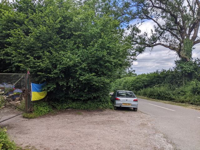
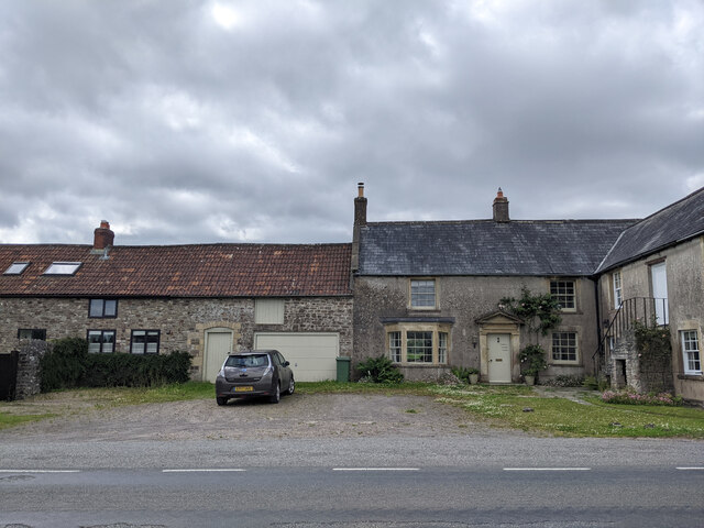
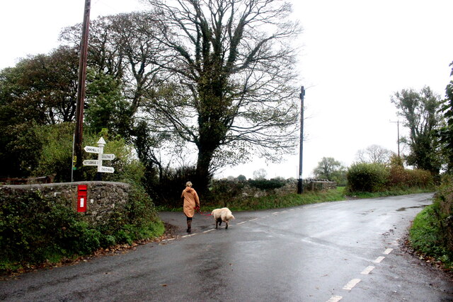
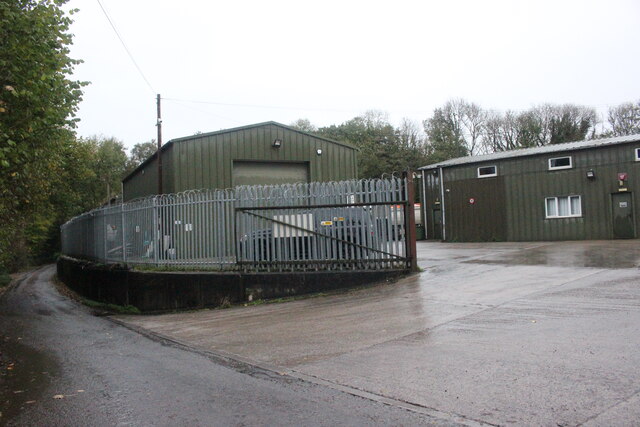
Cook's Wood Images
Images are sourced within 2km of 51.226311/-2.4748493 or Grid Reference ST6647. Thanks to Geograph Open Source API. All images are credited.


Cook's Wood is located at Grid Ref: ST6647 (Lat: 51.226311, Lng: -2.4748493)
Administrative County: Somerset
District: Mendip
Police Authority: Avon and Somerset
What 3 Words
///timeless.discusses.outbid. Near Chilcompton, Somerset
Nearby Locations
Related Wikis

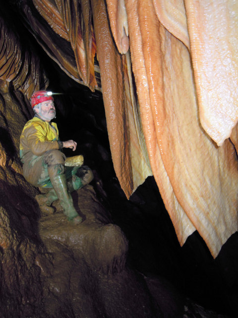
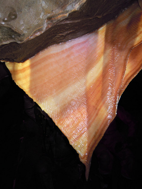
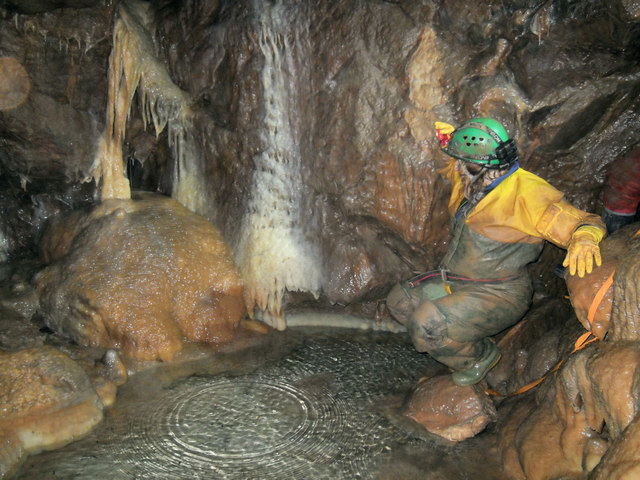
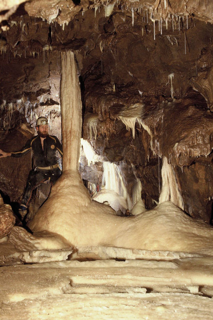
Stoke Lane Slocker
Stoke Lane Slocker (grid reference ST66874745) is a cave near Stoke St Michael, in the Carboniferous Limestone of the Mendip Hills, in the English county...

St Dunstan's Well Catchment
St. Dunstan's Well Catchment (grid reference ST668475) is a Site of Special Scientific Interest, covering 39.8 hectares (98.3 acres) near Stoke St Michael...
Cook's Wood Quarry
Cook's Wood Quarry also known as Holcombe Quarry (grid reference ST669479) is a 0.8-hectare (2.0-acre) geological Site of Special Scientific Interest near...

Church of St Michael, Stoke St Michael
The Anglican Church of St Michael in Stoke St Michael, Somerset, England was built around 1400. It is a Grade II* listed building. == History == The western...

Stoke St Michael
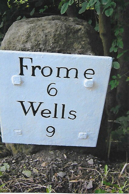
Stoke St Michael is a village and civil parish on the Mendip Hills 4 miles (6.4 km) north east of Shepton Mallet, and 8 miles (12.9 km) west of Frome,...

Edford Woods and Meadows
Edford Woods and Meadows (grid reference ST665485) is a 54.3 hectare (134.1 acre) biological Site of Special Scientific Interest, between Nettlebridge...

W/L Cave
W/L Cave is part of the Fairy Cave Quarry group of caves between Stoke St Michael and Oakhill in the limestone of the Mendip Hills, in Somerset, England...
Shatter Cave
Shatter Cave is a cave in Fairy Cave Quarry, near Stoke St Michael in the limestone of the Mendip Hills, in Somerset, England. It falls within the St....
Nearby Amenities
Located within 500m of 51.226311,-2.4748493Have you been to Cook's Wood?
Leave your review of Cook's Wood below (or comments, questions and feedback).