Combe Wood
Wood, Forest in Somerset Mendip
England
Combe Wood
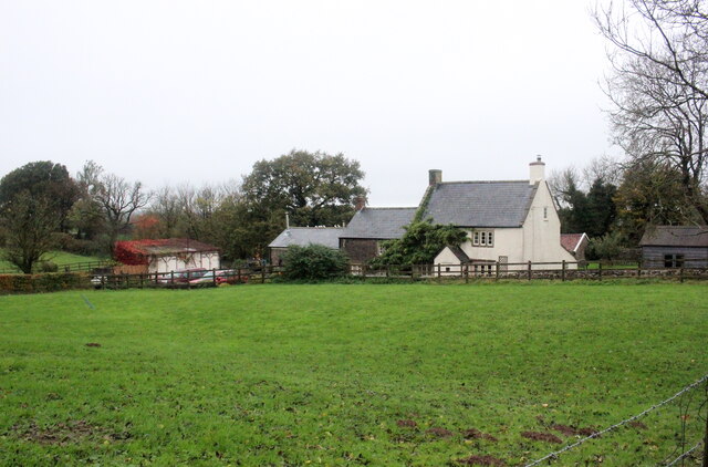
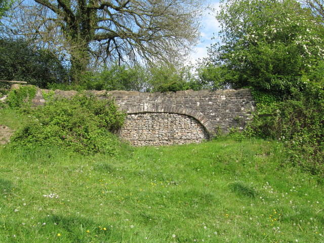
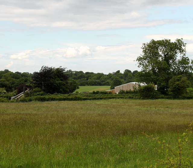
Combe Wood is a picturesque woodland located in Somerset, England. Covering an area of approximately 100 acres, it is situated near the village of Combe Florey. The woodland is part of the Quantock Hills Area of Outstanding Natural Beauty, renowned for its stunning landscapes and diverse wildlife.
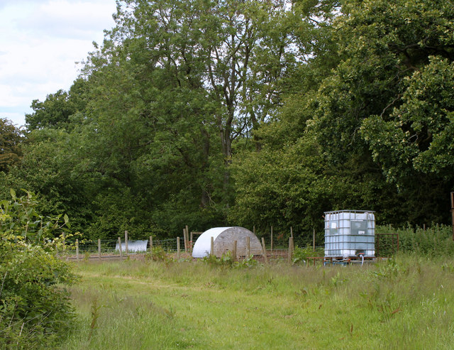
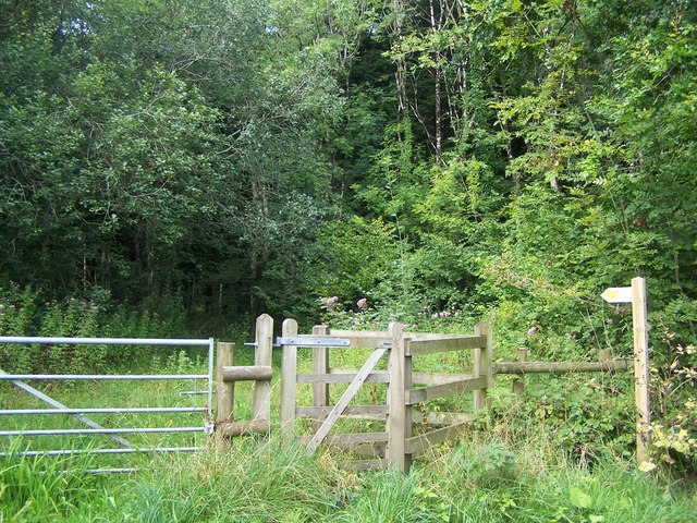
Combe Wood is predominantly composed of mixed broadleaf trees, including oak, beech, and ash, which create a dense canopy overhead. The forest floor is covered in a thick carpet of ferns, wildflowers, and mosses, adding to its enchanting atmosphere. The wood is crisscrossed by a network of well-maintained footpaths, allowing visitors to explore and immerse themselves in the natural beauty of the area.
The woodland is home to a variety of wildlife, making it a haven for nature enthusiasts and photographers. Birdwatchers can spot a range of species, including woodpeckers, nuthatches, and tawny owls. Mammals such as badgers, foxes, and deer can also be spotted roaming the forest. The tranquil atmosphere and the abundance of wildlife make Combe Wood an ideal location for wildlife observation and photography.
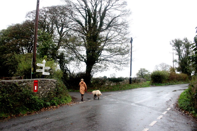
Combe Wood offers visitors a peaceful and secluded environment, away from the hustle and bustle of city life. The woodland is a popular destination for walkers and hikers, who can enjoy its well-marked trails and stunning views over the surrounding countryside. Whether it's a leisurely stroll or a more challenging hike, Combe Wood provides a range of options for outdoor enthusiasts of all abilities.
Overall, Combe Wood is a natural gem, offering a tranquil escape and a chance to connect with nature in the heart of Somerset.
If you have any feedback on the listing, please let us know in the comments section below.
Combe Wood Images
Images are sourced within 2km of 51.227453/-2.4858882 or Grid Reference ST6647. Thanks to Geograph Open Source API. All images are credited.


Combe Wood is located at Grid Ref: ST6647 (Lat: 51.227453, Lng: -2.4858882)
Administrative County: Somerset
District: Mendip
Police Authority: Avon and Somerset
What 3 Words
///decorated.dragonfly.unwraps. Near Chilcompton, Somerset
Nearby Locations
Related Wikis

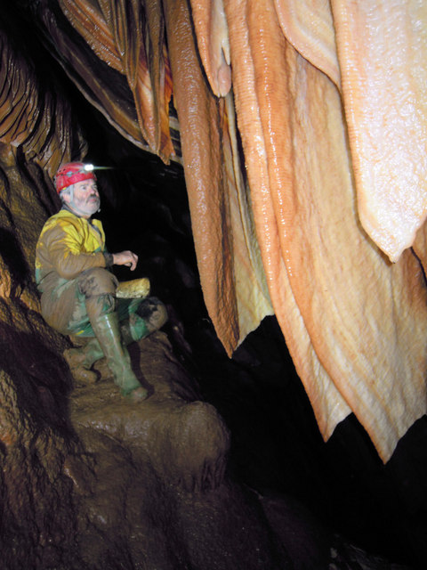
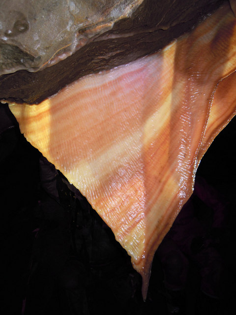
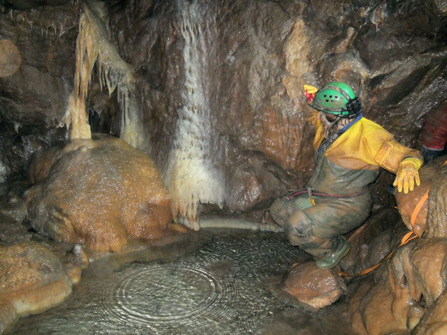
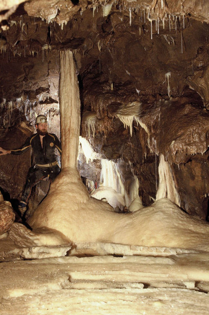
W/L Cave
W/L Cave is part of the Fairy Cave Quarry group of caves between Stoke St Michael and Oakhill in the limestone of the Mendip Hills, in Somerset, England...
Shatter Cave
Shatter Cave is a cave in Fairy Cave Quarry, near Stoke St Michael in the limestone of the Mendip Hills, in Somerset, England. It falls within the St....

Fairy Cave Quarry
Fairy Cave Quarry (grid reference ST65734753) is between Stoke St Michael and Oakhill in the limestone of the Mendip Hills, in Somerset, England. Quarrying...

Hillier's Cave
Hillier's Cave (grid reference ST65734753) is a cave in Fairy Cave Quarry, near Stoke St Michael in the limestone of the Mendip Hills, in Somerset, England...

Balch Cave
Balch Cave (grid reference ST65734753) is a cave in Fairy Cave Quarry, near Stoke St Michael in the limestone of the Mendip Hills, in Somerset, England...
St Dunstan's Well Catchment
St. Dunstan's Well Catchment (grid reference ST668475) is a Site of Special Scientific Interest, covering 39.8 hectares (98.3 acres) near Stoke St Michael...

Stoke Lane Slocker
Stoke Lane Slocker (grid reference ST66874745) is a cave near Stoke St Michael, in the Carboniferous Limestone of the Mendip Hills, in the English county...
Cook's Wood Quarry
Cook's Wood Quarry also known as Holcombe Quarry (grid reference ST669479) is a 0.8-hectare (2.0-acre) geological Site of Special Scientific Interest near...
Nearby Amenities
Located within 500m of 51.227453,-2.4858882Have you been to Combe Wood?
Leave your review of Combe Wood below (or comments, questions and feedback).