Folly Wood
Wood, Forest in Somerset Mendip
England
Folly Wood
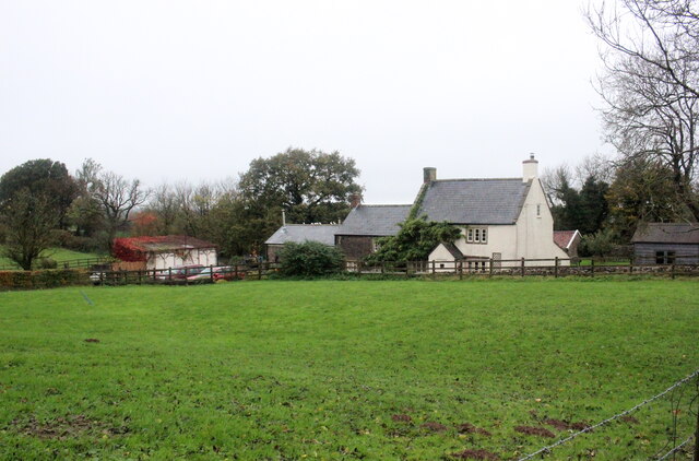
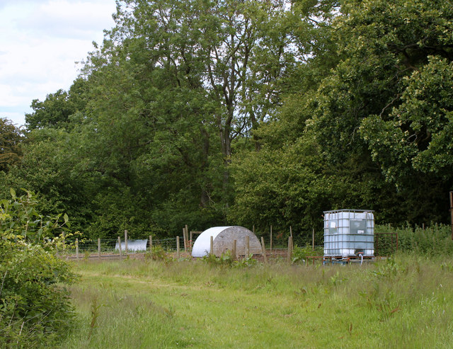
Folly Wood is a picturesque forest located in Somerset, England. Covering an area of approximately 100 acres, this woodland is a haven for nature enthusiasts and outdoor enthusiasts alike. The forest is known for its stunning collection of native trees, including oak, beech, and ash, which create a vibrant and diverse ecosystem.
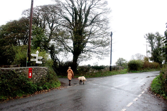
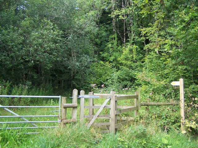
One of the main attractions of Folly Wood is its extensive network of walking trails, which meander through the forest, offering visitors the opportunity to explore its natural beauty. These trails are well-maintained and cater to all levels of fitness, making it accessible for families, hikers, and dog walkers.
The wood is home to a wide variety of wildlife, making it a popular spot for birdwatching and wildlife photography. Visitors can expect to spot a range of species, including woodpeckers, buzzards, and deer. The forest also boasts a rich biodiversity, with an array of wildflowers, mushrooms, and ferns that add to its charm.
Throughout the year, Folly Wood hosts a number of events and activities, including guided nature walks, educational workshops, and interactive exhibits. These events aim to engage visitors of all ages and provide an opportunity to learn about the importance of woodland conservation and management.
Folly Wood is easily accessible, with ample parking facilities available nearby. It offers a peaceful retreat from the hustle and bustle of everyday life, allowing visitors to immerse themselves in the natural beauty that Somerset has to offer.
If you have any feedback on the listing, please let us know in the comments section below.
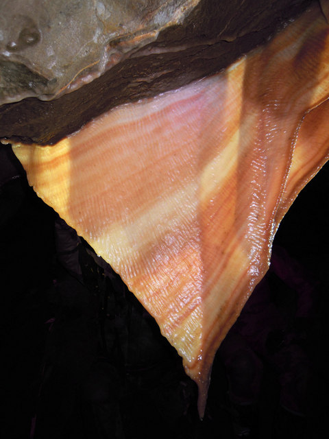
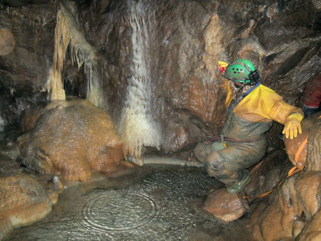
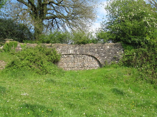
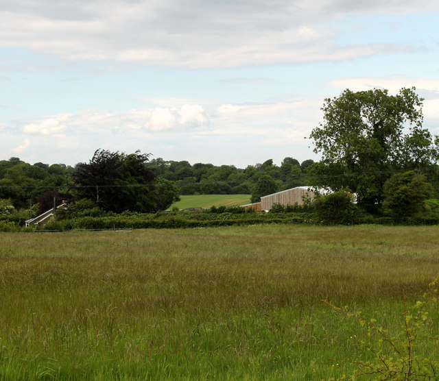
Folly Wood Images
Images are sourced within 2km of 51.228359/-2.4863704 or Grid Reference ST6647. Thanks to Geograph Open Source API. All images are credited.


Folly Wood is located at Grid Ref: ST6647 (Lat: 51.228359, Lng: -2.4863704)
Administrative County: Somerset
District: Mendip
Police Authority: Avon and Somerset
What 3 Words
///bumps.tones.wrenching. Near Chilcompton, Somerset
Nearby Locations
Related Wikis

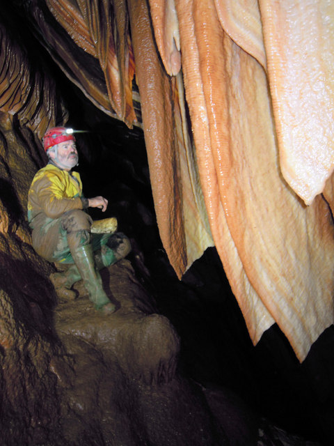
W/L Cave
W/L Cave is part of the Fairy Cave Quarry group of caves between Stoke St Michael and Oakhill in the limestone of the Mendip Hills, in Somerset, England...
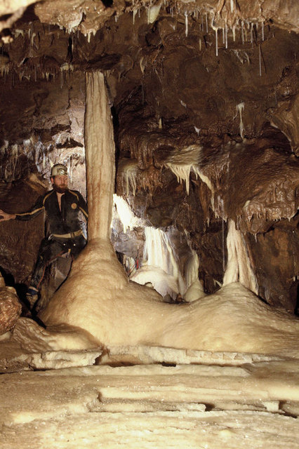
Shatter Cave
Shatter Cave is a cave in Fairy Cave Quarry, near Stoke St Michael in the limestone of the Mendip Hills, in Somerset, England. It falls within the St....

Fairy Cave Quarry
Fairy Cave Quarry (grid reference ST65734753) is between Stoke St Michael and Oakhill in the limestone of the Mendip Hills, in Somerset, England. Quarrying...

Balch Cave
Balch Cave (grid reference ST65734753) is a cave in Fairy Cave Quarry, near Stoke St Michael in the limestone of the Mendip Hills, in Somerset, England...
Nearby Amenities
Located within 500m of 51.228359,-2.4863704Have you been to Folly Wood?
Leave your review of Folly Wood below (or comments, questions and feedback).