Costessey

Settlement in Norfolk South Norfolk

England

Costessey

Richmond Road
Richmond Road Credit: Hugh Venables

Costessey is a village and civil parish located in the county of Norfolk, England. Situated approximately 4 miles west of Norwich, the village lies on the banks of the River Tud. With a population of around 12,000, Costessey is a vibrant and thriving community.

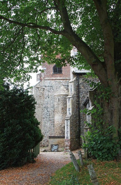
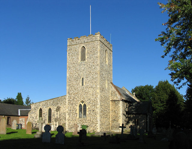
The history of Costessey dates back to the Roman period, and evidence of Roman settlements has been discovered in the area. The village was mentioned in the Domesday Book of 1086 and has a rich historical heritage, with several listed buildings and landmarks, including Costessey Hall, a stately home dating back to the 16th century.

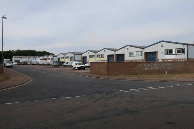
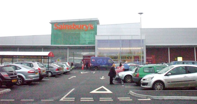
The village offers a range of amenities and services to its residents. It has several schools, including Costessey Infant School and Costessey Junior School, providing education for children of various age groups. There are also several recreational facilities, such as Costessey Park Golf Club and Longwater Retail Park, which offers a wide range of shops, restaurants, and entertainment options.

Costessey is well-connected by road, with the A47 passing through the village, providing convenient access to Norwich and other surrounding towns. The village also benefits from regular bus services, making it easily accessible for both residents and visitors.

The natural beauty of Costessey is another highlight, with scenic countryside and the River Tud providing opportunities for outdoor activities and leisurely walks. The village also hosts various community events throughout the year, including festivals and fairs, fostering a strong sense of community and camaraderie among its residents.

Overall, Costessey is a picturesque village with a rich history, offering a range of amenities, beautiful surroundings, and a close-knit community.

If you have any feedback on the listing, please let us know in the comments section below.
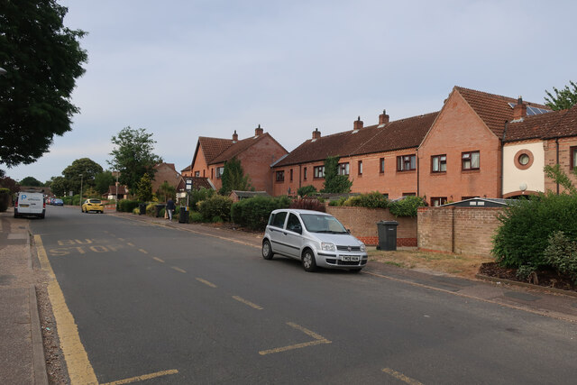
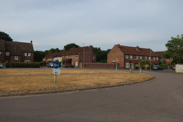
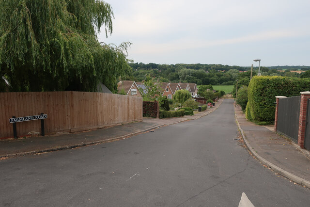
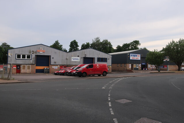
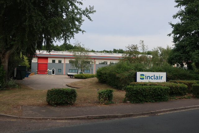
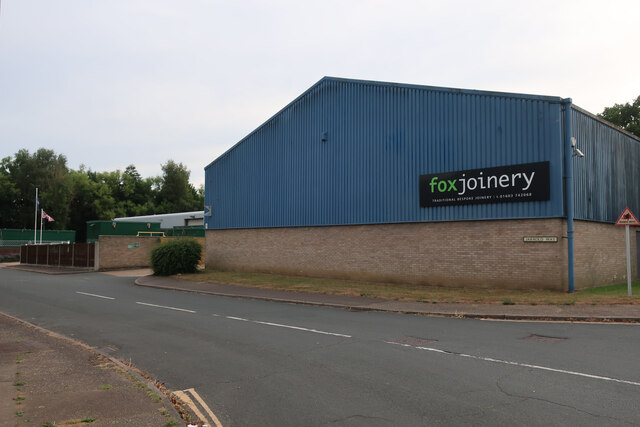
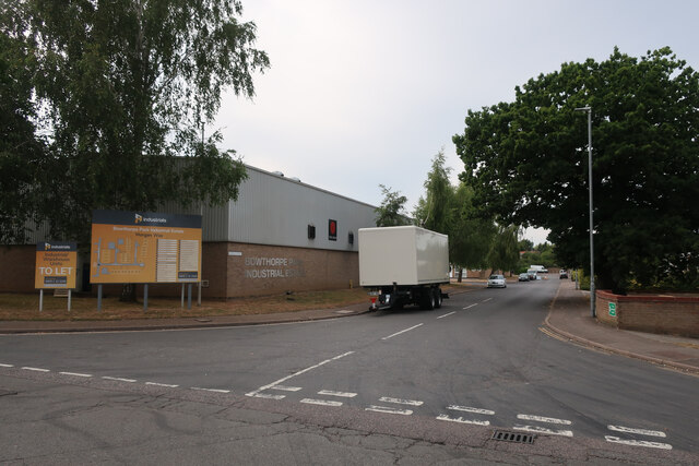
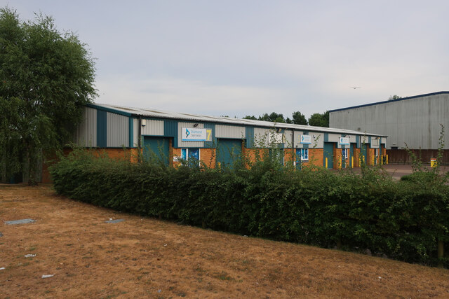
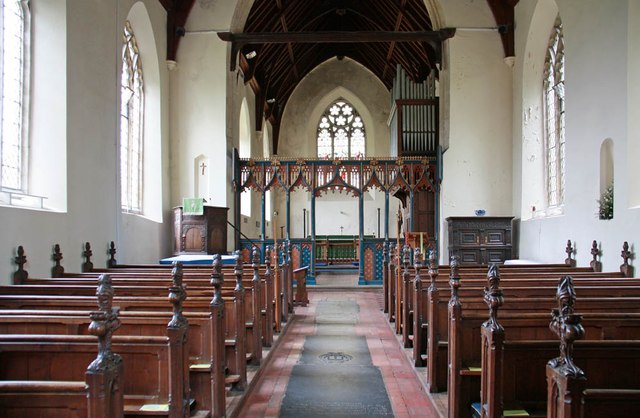
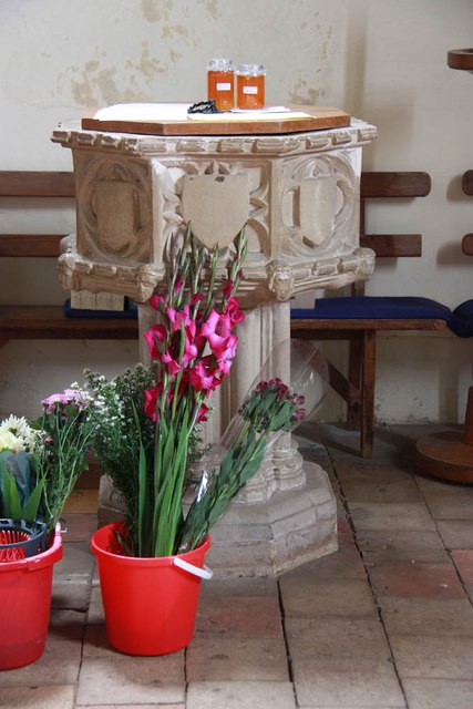
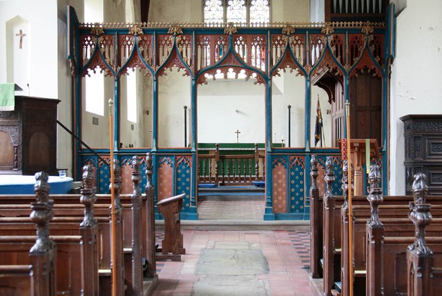
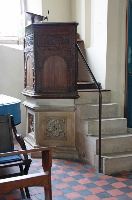
Costessey Images

Images are sourced within 2km of 52.659099/1.210163 or Grid Reference TG1711. Thanks to Geograph Open Source API. All images are credited.

Richmond Road
Richmond Road
Middleton Crescent
Middleton Crescent
Farmland Road, New Costessey
Bridge Cottage, River Wensum, Costessey Nestling close to the river and the site of an old Toll Bridge, this cottage would have been the toll keeper's residence. The bridge looks to have been collecting tolls as late as 1905, run by a private company. It was not part of the turnpike system and would originally obviated some turnpike miles to Norwich.

Milestone Society National ID: NO.COS
Bridge Cottage, River Wensum, Costessey
Nestling close to the river and the site of an old Toll Bridge, this cottage would have been the toll keeper's residence. The bridge looks to have been collecting tolls as late as 1905, run by a private company. It was not part of the turnpike system and would originally obviated some turnpike miles to Norwich. Milestone Society National ID: NO.COS
Royal Mail depot and Screwfix, Bowthorpe Industrial Area
Sinclair International, Jarrold Way Producing labels for fresh produce.
Sinclair International, Jarrold Way
Producing labels for fresh produce.
Fox Joinery, Bowthorpe Industrial Area
Bowthorpe Park Industrial Estate
Bowthorpe water tower
Sainsbury's, Norwich The Longwater branch that's so big, it could almost be a hypermarket.
Sainsbury's, Norwich
The Longwater branch that's so big, it could almost be a hypermarket.
St Edmund, Costessey
St Edmund, Costessey - East end
St Edmund, Costessey - Font
St Edmund, Costessey - East end
St Edmund, Costessey - Pulpit
Show me another place!

Costessey is located at Grid Ref: TG1711 (Lat: 52.659099, Lng: 1.210163)

Administrative County: Norfolk

District: South Norfolk

Police Authority: Norfolk

What 3 Words

///mass.lift.early. Near Costessey, Norfolk

Related Wikis

Costessey

Costessey ( KOSS-ee) is a town and civil parish in the South Norfolk district of Norfolk, England, and is 4 miles (6.4 km) north west of Norwich. The...

Costessey Hall

Costessey Hall (pronounced and sometimes spelt Cossey Hall, also written as Cotesby Hall) was a manor house in Costessey, Norfolk, England, four miles...

Ormiston Victory Academy

Ormiston Victory Academy (formerly Costessey High School) is a secondary school and sixth form located in Costessey, Norfolk, England. The academy has...

Marriott's Way

The Marriott's Way is a footpath, cycle-path and bridleway in north Norfolk, England, between Norwich and Aylsham via Themelthorpe. It forms part of the...

Drayton railway station

Drayton railway station is a former station in Norfolk, England. Constructed by the Midland and Great Northern Joint Railway in the 1880s, on the line...

Norwich CBS F.C.

Norwich CBS Football Club is a football club based in Norwich, England. They are currently members of the Eastern Counties League Division One North and...

Drayton, Norfolk

Drayton, Norfolk, is a suburban village in the English county of Norfolk. The village is located in the district of Broadland, 4.3 miles (6.9 km) north...

Thorpe Marriott

Thorpe Marriott is a residential area in Norfolk, England covering part of Taverham and Drayton parishes. Much of the housing was built in the latter part...

Nearby Amenities

Located within 500m of 52.659099,1.210163
Traffic Calming: hump
Lat/Long: 52.6570486/1.2066447
Traffic Calming: choked_cushion
Lat/Long: 52.6556805/1.2063279
Traffic Calming: hump
Lat/Long: 52.6579541/1.2069079
Traffic Calming: hump
Lat/Long: 52.6574265/1.2068251
Traffic Calming: cushion
Lat/Long: 52.6586544/1.2034679
Traffic Calming: cushion
Lat/Long: 52.658329/1.2053043
Mini Roundabout
Direction: clockwise
Lat/Long: 52.6591569/1.2101628
Costessey
Alt Name: Old Costessey
Place: village
Postal Code: NR8
Website: https://www.costessey.org.uk/
Wikidata: Q2201571
Wikipedia: en:Costessey
Lat/Long: 52.6592947/1.2100682
Bus Stop
Longwater Lane / Doctors Surgery
Naptan AtcoCode: 2900C271
Naptan Bearing: N
Naptan CommonName: Medical Centre
Naptan Indicator: opp
Naptan Landmark: Recreaction Ground
Naptan Locality: Costessey
Naptan NaptanCode: nfoajpmw
Naptan PlusbusZoneRef: NRCH
Naptan Street: Longwater Lane
Shelter: yes
Source: naptan_import;survey
Lat/Long: 52.656632/1.2064418
Bus Stop
Longwater Lane / Doctors Surgery
Naptan AtcoCode: 2900C2711
Naptan Bearing: S
Naptan CommonName: Medical Centre
Naptan Indicator: adj
Naptan Landmark: Medical Centre
Naptan Latitude: 52.6563518
Naptan Locality: Costessey
Naptan Longitude: 1.2065517
Naptan NaptanCode: nfoajptd
Naptan PlusbusZoneRef: NRCH
Naptan Street: Longwater Lane
Shelter: yes
Source: naptan_import;survey
Lat/Long: 52.6561777/1.2065431
Bus Stop
West End, opp
Naptan AtcoCode: 2900C2734
Naptan Bearing: NE
Naptan CommonName: West End
Naptan Indicator: opp
Naptan Landmark: Cleves Way
Naptan Locality: Costessey
Naptan NaptanCode: nfoajtdp
Naptan PlusbusZoneRef: NRCH
Naptan ShortCommonName: West End
Naptan Street: West End
Naptan Verified: no
Source: naptan_import
Lat/Long: 52.6588823/1.2084232
Bus Stop
The Harte of Costessey, adj
Naptan AtcoCode: 2900C2735
Naptan Bearing: E
Naptan CommonName: The Harte of Costessey
Naptan Indicator: adj
Naptan Locality: Costessey
Naptan NaptanCode: nfoajtdt
Naptan PlusbusZoneRef: NRCH
Naptan Street: Town House Road
Naptan Verified: no
Note: Road name is 'Townhouse Road'
Source: naptan_import
Lat/Long: 52.65909/1.2107162
Bus Stop
The Harte of Costessey, opp
Naptan AtcoCode: 2900C2736
Naptan Bearing: W
Naptan CommonName: The Harte of Costessey
Naptan Indicator: opp
Naptan Locality: Costessey
Naptan NaptanCode: nfoajtdw
Naptan PlusbusZoneRef: NRCH
Naptan Street: Town House Road
Naptan Verified: no
Note: Road name is 'Townhouse Road'
Source: naptan_import
Lat/Long: 52.6590397/1.2105794
Bus Stop
Lime Tree Avenue, opp
Naptan AtcoCode: 2900C2737
Naptan Bearing: E
Naptan CommonName: Lime Tree Avenue
Naptan Indicator: opp
Naptan Locality: Costessey
Naptan NaptanCode: nfoajtga
Naptan PlusbusZoneRef: NRCH
Naptan Street: Town House Road
Naptan Verified: no
Source: naptan_import
Lat/Long: 52.6583587/1.2161202
Bus Stop
Lime Tree Avenue, adj
Naptan AtcoCode: 2900C2738
Naptan Bearing: NW
Naptan CommonName: Lime Tree Avenue
Naptan Indicator: adj
Naptan Landmark: Lime Tree Avenue
Naptan Locality: Costessey
Naptan NaptanCode: nfoajtgd
Naptan PlusbusZoneRef: NRCH
Naptan ShortCommonName: Lime Tree Avenue
Naptan Street: Town House Road
Naptan Verified: no
Source: naptan_import
Lat/Long: 52.6584623/1.2152848
Barrier: bollard
Bicycle: yes
Foot: yes
Lat/Long: 52.6559906/1.206509
Traffic Calming: hump
Lat/Long: 52.6565999/1.2065143
Turning Circle
Lat/Long: 52.660881/1.2156833
Traffic Calming: cushion
Lat/Long: 52.6583996/1.2044974
Turning Circle
Lat/Long: 52.6595629/1.2132562
Traffic Calming: cushion
Lat/Long: 52.6583996/1.2061141
Traffic Calming: choker;hump
Lat/Long: 52.6606511/1.2120185
Post Office
Costessey Post Office
Brand: Post Office
Brand Wikidata: Q1783168
Check Date: 2023-09-27
Ref Pol Id: 806
Source: Survey
Lat/Long: 52.6592033/1.2097798
Barrier: bollard
Motor Vehicle: yes
Lat/Long: 52.6569756/1.2064458
Crossing
Crossing: unmarked
Crossing Island: yes
Tactile Paving: no
Lat/Long: 52.6591438/1.2100538
Crossing
Crossing: unmarked
Crossing Island: yes
Tactile Paving: no
Lat/Long: 52.6592273/1.2102125
Post Box
Collection Times: Mo-Fr 17:00; Sa 11:30
Operator: Royal Mail
Post Box Type: pillar
Ref: NR8 800
Royal Cypher: EIIR
Royal Cypher Wikidata: Q33102113
Lat/Long: 52.6591473/1.2098317
Recycling
Recycling Glass Bottles: yes
Recycling Type: container
Lat/Long: 52.6620863/1.2135577
Power: pole
Lat/Long: 52.6552025/1.2078021
Colour: red and white
Marker: aerial
Pipeline: marker
Substance: gas
Utility: gas
Lat/Long: 52.6564407/1.2065844
Power: pole
Lat/Long: 52.6556662/1.2071101
Power: pole
Lat/Long: 52.6552383/1.2069975
Power: pole
Lat/Long: 52.656496/1.2082286
Power: pole
Lat/Long: 52.6558086/1.2079563
Power: pole
Lat/Long: 52.6561388/1.207216
Power: pole
Lat/Long: 52.6566025/1.2073823
Traffic Calming: choker;hump
Lat/Long: 52.6621036/1.2137063
Traffic Calming: cushion
Lat/Long: 52.6616097/1.2130541
Entrance: main
Lat/Long: 52.6599307/1.2113211
Traffic Calming: choked_cushion
Lat/Long: 52.6600236/1.2112133
Give Way
Lat/Long: 52.6591259/1.2102477
Give Way
Lat/Long: 52.6592131/1.2102025
Give Way
Lat/Long: 52.6591465/1.2100767
Waste Basket
Waste: dog_excrement
Lat/Long: 52.6587583/1.2149589
Generator Method: photovoltaic
Generator Output Electricity: yes
Generator Source: solar
Generator Type: solar_photovoltaic_panel
Location: roof
Power: generator
Lat/Long: 52.656075/1.2155583
Generator Method: photovoltaic
Generator Output Electricity: yes
Generator Source: solar
Generator Type: solar_photovoltaic_panel
Location: roof
Power: generator
Lat/Long: 52.6569178/1.2164837
Generator Method: photovoltaic
Generator Output Electricity: yes
Generator Source: solar
Generator Type: solar_photovoltaic_panel
Location: roof
Power: generator
Lat/Long: 52.6569195/1.2165293
Generator Method: photovoltaic
Generator Output Electricity: yes
Generator Source: solar
Generator Type: solar_photovoltaic_panel
Location: roof
Power: generator
Lat/Long: 52.6575637/1.2159687
Generator Method: photovoltaic
Generator Output Electricity: yes
Generator Source: solar
Generator Type: solar_photovoltaic_panel
Location: roof
Power: generator
Lat/Long: 52.657541/1.2153518
Generator Method: photovoltaic
Generator Output Electricity: yes
Generator Source: solar
Generator Type: solar_photovoltaic_panel
Location: roof
Power: generator
Lat/Long: 52.6575393/1.2154242
Generator Method: photovoltaic
Generator Output Electricity: yes
Generator Source: solar
Generator Type: solar_photovoltaic_panel
Location: roof
Power: generator
Lat/Long: 52.6577232/1.2150568
Generator Method: photovoltaic
Generator Output Electricity: yes
Generator Source: solar
Generator Type: solar_photovoltaic_panel
Location: roof
Power: generator
Lat/Long: 52.6577167/1.2152177
Generator Method: photovoltaic
Generator Output Electricity: yes
Generator Source: solar
Generator Type: solar_photovoltaic_panel
Location: roof
Power: generator
Lat/Long: 52.6578289/1.2159714
Generator Method: photovoltaic
Generator Output Electricity: yes
Generator Source: solar
Generator Type: solar_photovoltaic_panel
Location: roof
Power: generator
Lat/Long: 52.6579054/1.2159446
Generator Method: photovoltaic
Generator Output Electricity: yes
Generator Source: solar
Generator Type: solar_photovoltaic_panel
Location: roof
Power: generator
Lat/Long: 52.6579672/1.2159178
Generator Method: photovoltaic
Generator Output Electricity: yes
Generator Source: solar
Generator Type: solar_photovoltaic_panel
Location: roof
Power: generator
Lat/Long: 52.6578094/1.2164542
Generator Method: photovoltaic
Generator Output Electricity: yes
Generator Source: solar
Generator Type: solar_photovoltaic_panel
Location: roof
Power: generator
Lat/Long: 52.6577085/1.2090862
Generator Method: photovoltaic
Generator Output Electricity: yes
Generator Source: solar
Generator Type: solar_photovoltaic_panel
Location: roof
Power: generator
Lat/Long: 52.6576614/1.2087321
Generator Method: photovoltaic
Generator Output Electricity: yes
Generator Source: solar
Generator Type: solar_photovoltaic_panel
Location: roof
Power: generator
Lat/Long: 52.6576955/1.2087885
Generator Method: photovoltaic
Generator Output Electricity: yes
Generator Source: solar
Generator Type: solar_photovoltaic_panel
Location: roof
Power: generator
Lat/Long: 52.6600285/1.2105668
Generator Method: photovoltaic
Generator Output Electricity: yes
Generator Source: solar
Generator Type: solar_photovoltaic_panel
Location: roof
Power: generator
Lat/Long: 52.6603181/1.2118784
Generator Method: photovoltaic
Generator Output Electricity: yes
Generator Source: solar
Generator Type: solar_photovoltaic_panel
Location: roof
Power: generator
Lat/Long: 52.6606191/1.2121573
Covered: yes
Leisure: picnic_table
Lat/Long: 52.6592118/1.2104521
Covered: yes
Leisure: picnic_table
Lat/Long: 52.6591549/1.2105265
Covered: no
Leisure: picnic_table
Lat/Long: 52.6592423/1.2104414
Entrance: service
Lat/Long: 52.6591435/1.2107315
Entrance: yes
Lat/Long: 52.6591323/1.2106206
Entrance: yes
Lat/Long: 52.659269/1.2104411
Entrance: main
Lat/Long: 52.6591847/1.2104838
Barrier: kissing_gate
Foot: yes
Lat/Long: 52.6585043/1.2156955
Crossing
Crossing: unmarked
Lat/Long: 52.6588303/1.2088823
Give Way
Lat/Long: 52.6588935/1.2088497
Colour: yellow
Marker: post
Material: concrete
Pipeline: marker
Substance: gas
Utility: gas
Lat/Long: 52.6564575/1.2063948
Leisure: picnic_table
Lat/Long: 52.662213/1.212311
Leisure: picnic_table
Lat/Long: 52.6622865/1.2122004
Leisure: picnic_table
Lat/Long: 52.6623166/1.212157
Leisure: picnic_table
Lat/Long: 52.662272/1.212165
Leisure: picnic_table
Lat/Long: 52.6622763/1.212065
Leisure: picnic_table
Lat/Long: 52.6622624/1.2120907
Barrier: cycle_barrier
Lat/Long: 52.6585798/1.2036594
The data included in this document is from www.openstreetmap.org. The data is made available under ODbL.

Have you been to Costessey?

Leave your review of Costessey below (or comments, questions and feedback).