Paradise Plantation

Wood, Forest in Norfolk Broadland

England

Paradise Plantation

Richmond Road
Richmond Road Credit: Hugh Venables

Paradise Plantation, located in Norfolk, is a sprawling wood and forest area that spans approximately 200 acres. Nestled amidst the picturesque countryside, this plantation offers a tranquil and idyllic retreat for nature enthusiasts and outdoor adventurers alike.

The woodlands of Paradise Plantation are diverse and rich, boasting a wide variety of tree species, including oak, maple, pine, and beech. The forest floor is adorned with a lush carpet of ferns, wildflowers, and moss, creating a captivating and enchanting atmosphere. The dense foliage provides ample shade, making it a perfect destination for a leisurely stroll or a rejuvenating hike.

Flora and fauna thrive in this natural haven, with an abundance of wildlife calling Paradise Plantation their home. Birdwatchers can expect to spot various species, from colorful songbirds to majestic birds of prey. Nature enthusiasts may also encounter deer, foxes, rabbits, and squirrels, adding to the charm and allure of this woodland paradise.

For outdoor enthusiasts seeking more adventurous activities, Paradise Plantation offers several well-maintained trails for hiking, biking, and horseback riding. These trails wind through the woodland, providing breathtaking vistas and opportunities to explore the natural wonders of the area. The plantation also features picnic areas and camping grounds, allowing visitors to immerse themselves fully in the beauty and tranquility of their surroundings.

Paradise Plantation in Norfolk is a haven for those seeking solace in nature's embrace. Its diverse woodlands, abundant wildlife, and various recreational opportunities make it a destination of choice for individuals and families alike, offering a true escape from the hustle and bustle of everyday life.

If you have any feedback on the listing, please let us know in the comments section below.

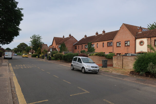
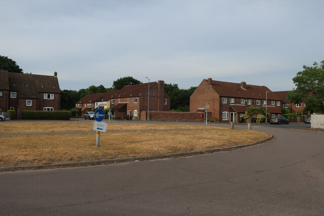
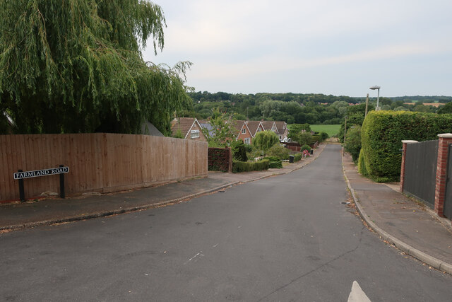
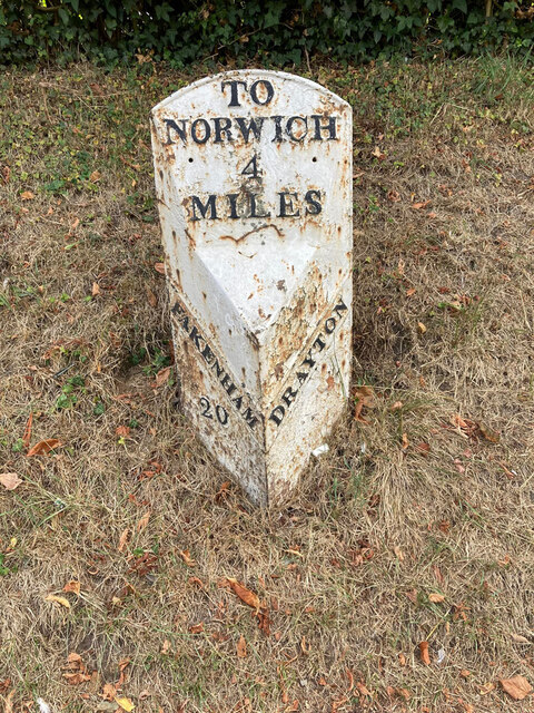
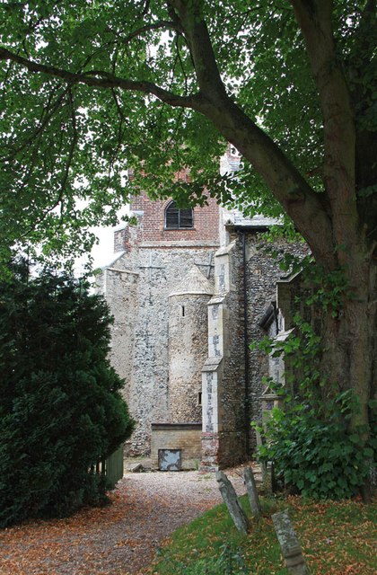
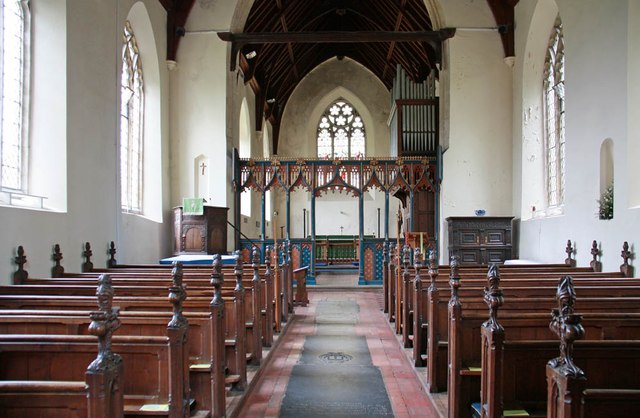
Paradise Plantation Images

Images are sourced within 2km of 52.661726/1.2083322 or Grid Reference TG1711. Thanks to Geograph Open Source API. All images are credited.

Richmond Road
Richmond Road
Middleton Crescent
Middleton Crescent
Farmland Road, New Costessey
Old Milestone, Drayton On the South side of the A1067, 20yds W of junction with Taverham Road, in the parish of Drayton. Alternative views are <a href="https://www.geograph.org.uk/photo/1391707">TG1713 : Drayton Milestone</a> & <a href="https://www.geograph.org.uk/photo/1558894">TG1713 : Old Milepost</a>.

Inscription: To / Norwich / 4 / Miles // Fakenham / 20 // Drayton

Milestone Society National ID: NO_NF04
Old Milestone, Drayton
On the South side of the A1067, 20yds W of junction with Taverham Road, in the parish of Drayton. Alternative views are TG1713 : Drayton Milestone & TG1713 : Old Milepost. Inscription: To / Norwich / 4 / Miles // Fakenham / 20 // Drayton Milestone Society National ID: NO_NF04
Bridge Cottage, River Wensum, Costessey Nestling close to the river and the site of an old Toll Bridge, this cottage would have been the toll keeper's residence. The bridge looks to have been collecting tolls as late as 1905, run by a private company. It was not part of the turnpike system and would originally obviated some turnpike miles to Norwich.

Milestone Society National ID: NO.COS
Bridge Cottage, River Wensum, Costessey
Nestling close to the river and the site of an old Toll Bridge, this cottage would have been the toll keeper's residence. The bridge looks to have been collecting tolls as late as 1905, run by a private company. It was not part of the turnpike system and would originally obviated some turnpike miles to Norwich. Milestone Society National ID: NO.COS
Barber, baker and beautician, Drayton On Taverham Road.
Barber, baker and beautician, Drayton
On Taverham Road.
Oops a Daisy, Drayton Florist on Fakenham Road.
Oops a Daisy, Drayton
Florist on Fakenham Road.
Village sign, Drayton Commemorating 50 years since the founding of Drayton 'afternoon W I'.
Village sign, Drayton
Commemorating 50 years since the founding of Drayton 'afternoon W I'.
The Red Lion public house, Drayton The building dates from 1678, becoming an inn in the mid 1700s. Damaged by enemy action in 1942.
The Red Lion public house, Drayton
The building dates from 1678, becoming an inn in the mid 1700s. Damaged by enemy action in 1942.
The Cock Inn, Drayton The present building replaced an 18th century inn in 1956. It was renovated  in 1998-1999. One of the Marston chain of brewers.
The Cock Inn, Drayton
The present building replaced an 18th century inn in 1956. It was renovated in 1998-1999. One of the Marston chain of brewers.
Sainsbury's, Norwich The Longwater branch that's so big, it could almost be a hypermarket.
Sainsbury's, Norwich
The Longwater branch that's so big, it could almost be a hypermarket.
St Edmund, Costessey
St Edmund, Costessey - East end
St Edmund, Costessey - Font
St Edmund, Costessey - East end
St Edmund, Costessey - Pulpit
St Edmund, Costessey - Wall monument
Show me another place!

Paradise Plantation is located at Grid Ref: TG1711 (Lat: 52.661726, Lng: 1.2083322)

Administrative County: Norfolk

District: Broadland

Police Authority: Norfolk

What 3 Words

///annual.bulge.armful. Near Costessey, Norfolk

Related Wikis

Costessey

Costessey ( KOSS-ee) is a town and civil parish in the South Norfolk district of Norfolk, England, and is 4 miles (6.4 km) north west of Norwich. The...

Costessey Hall

Costessey Hall (pronounced and sometimes spelt Cossey Hall, also written as Cotesby Hall) was a manor house in Costessey, Norfolk, England, four miles...

Ormiston Victory Academy

Ormiston Victory Academy (formerly Costessey High School) is a secondary school and sixth form located in Costessey, Norfolk, England. The academy has...

Marriott's Way

The Marriott's Way is a footpath, cycle-path and bridleway in north Norfolk, England, between Norwich and Aylsham via Themelthorpe. It forms part of the...

Nearby Amenities

Located within 500m of 52.661726,1.2083322
Traffic Calming: hump
Lat/Long: 52.6579541/1.2069079
Traffic Calming: hump
Lat/Long: 52.6574265/1.2068251
Traffic Calming: cushion
Lat/Long: 52.6589477/1.2026155
Traffic Calming: cushion
Lat/Long: 52.6586544/1.2034679
Traffic Calming: cushion
Lat/Long: 52.658329/1.2053043
Mini Roundabout
Direction: clockwise
Lat/Long: 52.6591569/1.2101628
Costessey
Alt Name: Old Costessey
Place: village
Postal Code: NR8
Website: https://www.costessey.org.uk/
Wikidata: Q2201571
Wikipedia: en:Costessey
Lat/Long: 52.6592947/1.2100682
Bus Stop
West End, opp
Naptan AtcoCode: 2900C2734
Naptan Bearing: NE
Naptan CommonName: West End
Naptan Indicator: opp
Naptan Landmark: Cleves Way
Naptan Locality: Costessey
Naptan NaptanCode: nfoajtdp
Naptan PlusbusZoneRef: NRCH
Naptan ShortCommonName: West End
Naptan Street: West End
Naptan Verified: no
Source: naptan_import
Lat/Long: 52.6588823/1.2084232
Bus Stop
The Harte of Costessey, adj
Naptan AtcoCode: 2900C2735
Naptan Bearing: E
Naptan CommonName: The Harte of Costessey
Naptan Indicator: adj
Naptan Locality: Costessey
Naptan NaptanCode: nfoajtdt
Naptan PlusbusZoneRef: NRCH
Naptan Street: Town House Road
Naptan Verified: no
Note: Road name is 'Townhouse Road'
Source: naptan_import
Lat/Long: 52.65909/1.2107162
Bus Stop
The Harte of Costessey, opp
Naptan AtcoCode: 2900C2736
Naptan Bearing: W
Naptan CommonName: The Harte of Costessey
Naptan Indicator: opp
Naptan Locality: Costessey
Naptan NaptanCode: nfoajtdw
Naptan PlusbusZoneRef: NRCH
Naptan Street: Town House Road
Naptan Verified: no
Note: Road name is 'Townhouse Road'
Source: naptan_import
Lat/Long: 52.6590397/1.2105794
Traffic Calming: choker;hump
Lat/Long: 52.6632181/1.2152974
Traffic Calming: cushion
Lat/Long: 52.6583996/1.2044974
Turning Circle
Lat/Long: 52.6595629/1.2132562
Traffic Calming: cushion
Lat/Long: 52.6583996/1.2061141
Traffic Calming: choker;hump
Lat/Long: 52.6606511/1.2120185
Post Office
Costessey Post Office
Brand: Post Office
Brand Wikidata: Q1783168
Check Date: 2023-09-27
Ref Pol Id: 806
Source: Survey
Lat/Long: 52.6592033/1.2097798
Crossing
Crossing: unmarked
Crossing Island: yes
Tactile Paving: no
Lat/Long: 52.6591438/1.2100538
Crossing
Crossing: unmarked
Crossing Island: yes
Tactile Paving: no
Lat/Long: 52.6592273/1.2102125
Post Box
Collection Times: Mo-Fr 17:00; Sa 11:30
Operator: Royal Mail
Post Box Type: pillar
Ref: NR8 800
Royal Cypher: EIIR
Royal Cypher Wikidata: Q33102113
Lat/Long: 52.6591473/1.2098317
Recycling
Recycling Glass Bottles: yes
Recycling Type: container
Lat/Long: 52.6620863/1.2135577
Traffic Calming: choker;hump
Lat/Long: 52.6621036/1.2137063
Traffic Calming: cushion
Lat/Long: 52.6616097/1.2130541
Entrance: main
Lat/Long: 52.6599307/1.2113211
Traffic Calming: choked_cushion
Lat/Long: 52.6600236/1.2112133
Give Way
Lat/Long: 52.6591259/1.2102477
Give Way
Lat/Long: 52.6592131/1.2102025
Give Way
Lat/Long: 52.6591465/1.2100767
Generator Method: photovoltaic
Generator Output Electricity: yes
Generator Source: solar
Generator Type: solar_photovoltaic_panel
Location: roof
Power: generator
Lat/Long: 52.6577085/1.2090862
Generator Method: photovoltaic
Generator Output Electricity: yes
Generator Source: solar
Generator Type: solar_photovoltaic_panel
Location: roof
Power: generator
Lat/Long: 52.6576614/1.2087321
Generator Method: photovoltaic
Generator Output Electricity: yes
Generator Source: solar
Generator Type: solar_photovoltaic_panel
Location: roof
Power: generator
Lat/Long: 52.6576955/1.2087885
Generator Method: photovoltaic
Generator Output Electricity: yes
Generator Source: solar
Generator Type: solar_photovoltaic_panel
Location: roof
Power: generator
Lat/Long: 52.6600285/1.2105668
Generator Method: photovoltaic
Generator Output Electricity: yes
Generator Source: solar
Generator Type: solar_photovoltaic_panel
Location: roof
Power: generator
Lat/Long: 52.6603181/1.2118784
Generator Method: photovoltaic
Generator Output Electricity: yes
Generator Source: solar
Generator Type: solar_photovoltaic_panel
Location: roof
Power: generator
Lat/Long: 52.6606191/1.2121573
Covered: yes
Leisure: picnic_table
Lat/Long: 52.6592118/1.2104521
Covered: yes
Leisure: picnic_table
Lat/Long: 52.6591549/1.2105265
Covered: no
Leisure: picnic_table
Lat/Long: 52.6592423/1.2104414
Entrance: service
Lat/Long: 52.6591435/1.2107315
Entrance: yes
Lat/Long: 52.6591323/1.2106206
Entrance: yes
Lat/Long: 52.659269/1.2104411
Entrance: main
Lat/Long: 52.6591847/1.2104838
Crossing
Crossing: unmarked
Lat/Long: 52.6588303/1.2088823
Give Way
Lat/Long: 52.6588935/1.2088497
Leisure: picnic_table
Lat/Long: 52.662213/1.212311
Leisure: picnic_table
Lat/Long: 52.6622865/1.2122004
Leisure: picnic_table
Lat/Long: 52.6623166/1.212157
Leisure: picnic_table
Lat/Long: 52.662272/1.212165
Leisure: picnic_table
Lat/Long: 52.6622763/1.212065
Leisure: picnic_table
Lat/Long: 52.6622624/1.2120907
Barrier: cycle_barrier
Lat/Long: 52.6585798/1.2036594
Speed Camera
Direction: 292
Maxspeed: 20 mph
Lat/Long: 52.6590036/1.2025946
The data included in this document is from www.openstreetmap.org. The data is made available under ODbL.

Have you been to Paradise Plantation?

Leave your review of Paradise Plantation below (or comments, questions and feedback).