Byelet Coppice

Wood, Forest in Shropshire

England

Byelet Coppice

Bends on the A458
Bends on the A458 Credit: Peter Whatley

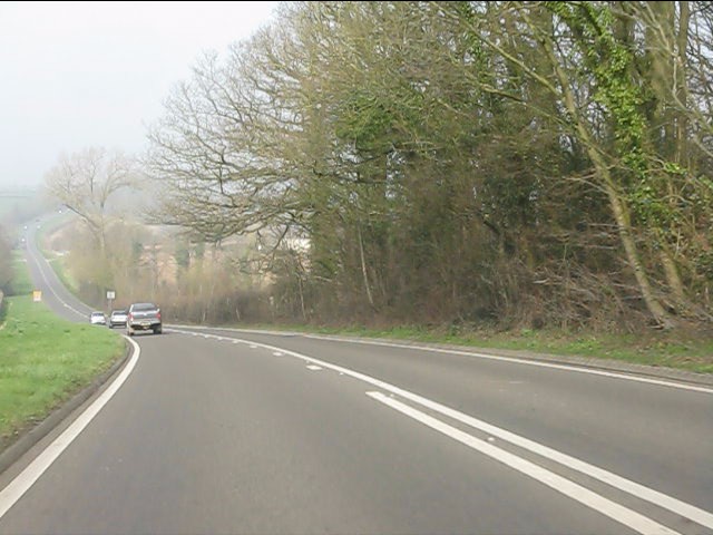
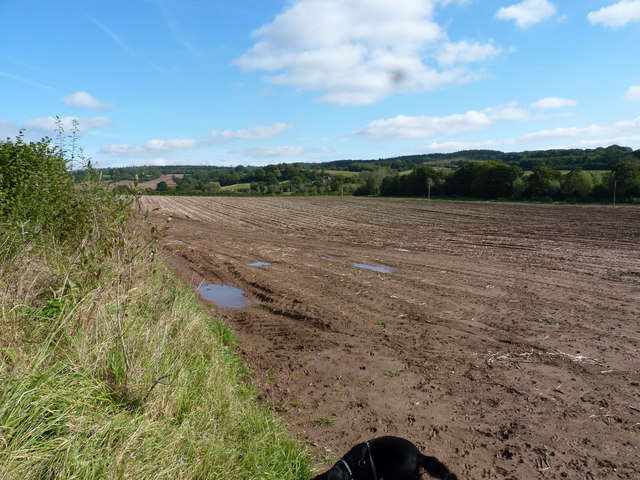
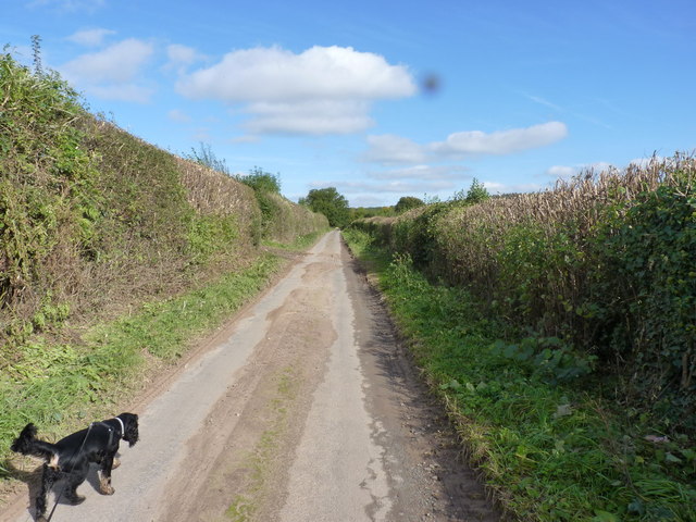
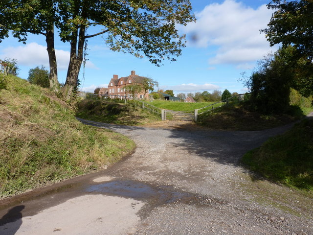
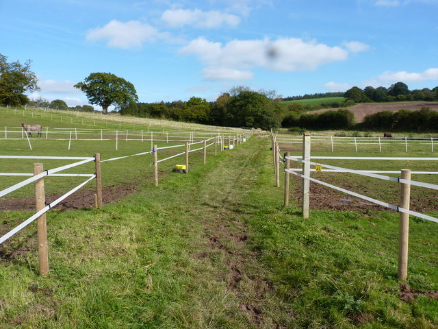
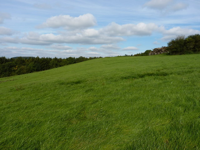
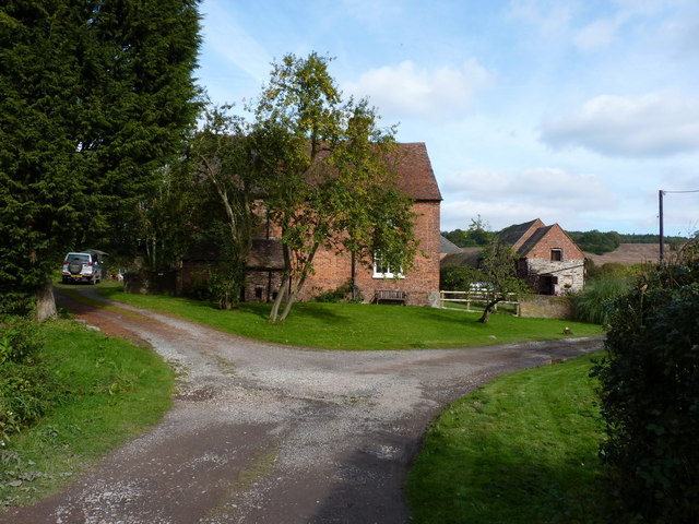
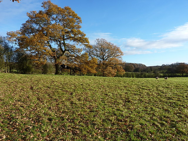
Byelet Coppice is a picturesque wood located in the county of Shropshire, England. This enchanting forest covers an area of approximately 30 hectares and is nestled in the heart of the countryside, offering visitors a tranquil and immersive experience in nature.

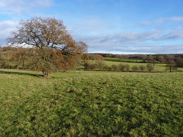
The coppice is composed primarily of deciduous trees, such as oak, ash, beech, and birch, which create a diverse and vibrant ecosystem. Throughout the year, the forest undergoes striking transformations as the leaves change color in autumn, the trees bloom in spring, and the foliage provides a lush canopy in summer.

The wood is home to a rich variety of flora and fauna, making it a haven for nature enthusiasts and wildlife lovers. It provides a habitat for numerous bird species, such as woodpeckers, owls, and warblers, as well as small mammals like squirrels, foxes, and rabbits. Visitors may also encounter a range of woodland plants, including bluebells, primroses, and ferns, adding to the natural beauty of the area.

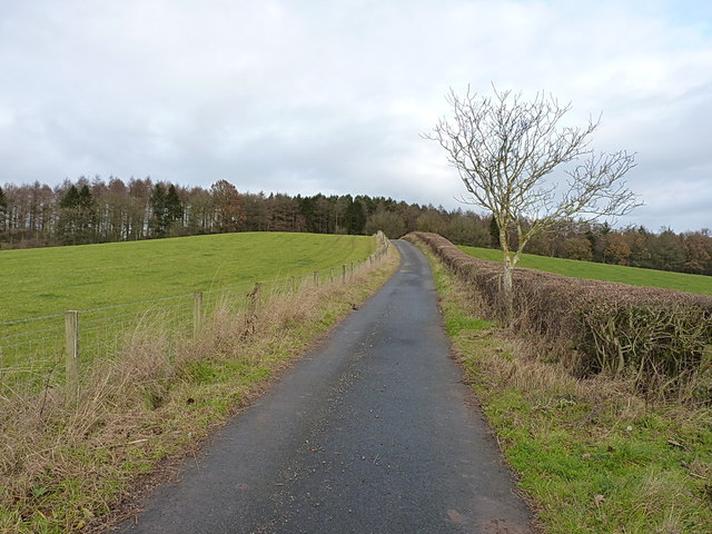
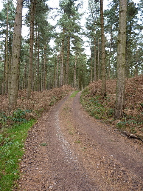
Byelet Coppice offers visitors a chance to explore its network of footpaths and trails, providing opportunities for hiking, jogging, and wildlife spotting. The wood is also a popular location for picnics, photography, and nature walks. There are designated areas for relaxation and picnic spots, allowing visitors to soak up the peaceful ambiance and take in the breathtaking views.

Overall, Byelet Coppice is a delightful woodland destination, offering a serene retreat for those seeking solace in nature's embrace. Its diverse ecosystem, scenic beauty, and recreational activities make it a must-visit location for both locals and tourists alike.

If you have any feedback on the listing, please let us know in the comments section below.

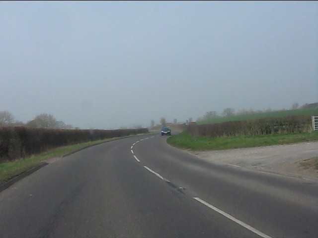
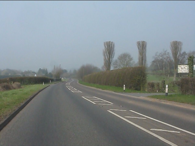
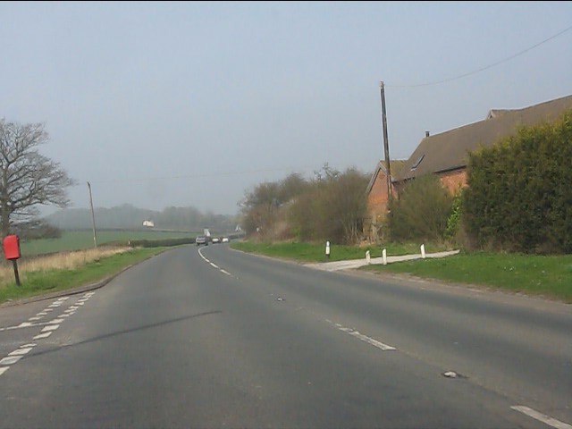
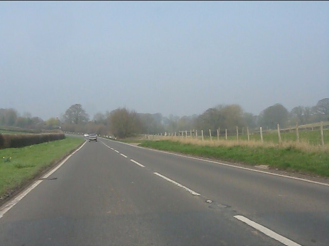
Byelet Coppice Images

Images are sourced within 2km of 52.570112/-2.5075197 or Grid Reference SO6597. Thanks to Geograph Open Source API. All images are credited.

Bends on the A458
Bends on the A458
A458 near Park Farm
A458 near Park Farm
A458 nearing Muckley Cross
Muckley Cross Farm
Muckley Cross Farm
A458 north of Muckley Cross
A458 near Watkis Coppice
Muddy field near Atterley
The lane to the Atterley Farms
Atterley House Farm The main farmhouse at Atterley, from the crossroads of tracks to the south.
Atterley House Farm
The main farmhouse at Atterley, from the crossroads of tracks to the south.
Across fields north of Atterley Farm The fields have been taped off into horse paddocks, as a small livery operates at Atterley.
Across fields north of Atterley Farm
The fields have been taped off into horse paddocks, as a small livery operates at Atterley.
View of a field and woodpile south of Hillview Farm There's a large pile of felled logs just behind the fence on the right at the top of the hill. This is adjacent to the footpath from Atterley to Shirlett.
View of a field and woodpile south of Hillview Farm
There's a large pile of felled logs just behind the fence on the right at the top of the hill. This is adjacent to the footpath from Atterley to Shirlett.
Atterley Farm The main farmhouse does rather hide its light under a bushel (or behind a tree, at any rate)
Atterley Farm
The main farmhouse does rather hide its light under a bushel (or behind a tree, at any rate)
Footpath towards Hawthorne Farm A row of old oak trees and a ditch mark the line of a former hedge, now followed by a path from Muckley Cross to Hawthorne Farm.
Footpath towards Hawthorne Farm
A row of old oak trees and a ditch mark the line of a former hedge, now followed by a path from Muckley Cross to Hawthorne Farm.
Across a field towards Well Dingle Autumn oaks and a collapsing field barn beneath them, just to the south of Hawthorne Farm.
Across a field towards Well Dingle
Autumn oaks and a collapsing field barn beneath them, just to the south of Hawthorne Farm.
Hawthorne Farm from the south Approaching the farm through sheep-fields from Muckley Cross; the legal path goes to the right of the house, but there seems to have been an acceptance that the gateway into the farmyard to the left of the house is in more common use.
Hawthorne Farm from the south
Approaching the farm through sheep-fields from Muckley Cross; the legal path goes to the right of the house, but there seems to have been an acceptance that the gateway into the farmyard to the left of the house is in more common use.
OS benchmark - Hawthorne Farm barn An OS cutmark in the bricks of a barn at Hawthorne Farm; originally levelled at 164.638m above Ordnance Datum Newlyn. This one's a bit awkward to access, as a cattle shed has been built onto the end of the original barn, leaving only a narrow gap to poke a head or camera through (not both at the same time)
OS benchmark - Hawthorne Farm barn
An OS cutmark in the bricks of a barn at Hawthorne Farm; originally levelled at 164.638m above Ordnance Datum Newlyn. This one's a bit awkward to access, as a cattle shed has been built onto the end of the original barn, leaving only a narrow gap to poke a head or camera through (not both at the same time)
Hawthorne Farm access road Back up the hill (ie away from the farm) towards Hawthorn Bank woods.
Hawthorne Farm access road
Back up the hill (ie away from the farm) towards Hawthorn Bank woods.
Farm track through Hawthorn Bank woods This forms part of the access track to the farm just to the south.
Farm track through Hawthorn Bank woods
This forms part of the access track to the farm just to the south.
Show me another place!

Byelet Coppice is located at Grid Ref: SO6597 (Lat: 52.570112, Lng: -2.5075197)

Unitary Authority: Shropshire

Police Authority: West Mercia

What 3 Words

///dried.churn.cabinets. Near Much Wenlock, Shropshire

Related Wikis

Atterley

Atterley is a village in Shropshire, England.

Aldenham Park, Morville

Aldenham Park, also known as Aldenham Hall, is a late 17th-century country house in Morville, near Bridgnorth, Shropshire, England which stands in 12 hectares...

Acton Round

Acton Round is a village and civil parish in the English county of Shropshire. Acton Round was recorded in the Domesday Book as Achetune. The civil parish...

Willey, Shropshire

Willey is a small village in the civil parish of Barrow, south west of the town of Broseley, Shropshire, England. It is made up of about 4 farms and the...

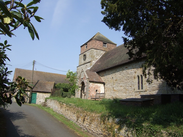
St Giles' Church, Barrow

St Giles' Church is in the hamlet of Barrow, Shropshire, England. It is an active Anglican parish church in the deanery of Telford Severn Gorge, the archdeaconry...
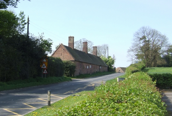
Barrow, Shropshire

Barrow is a hamlet and civil parish in Shropshire, England, some 5 miles south of Telford between Ironbridge and Much Wenlock. Although Barrow itself consists...

Aston Eyre

Aston Eyre is a hamlet and civil parish in Shropshire, England, about four miles west of Bridgnorth. The area has a significant amount of green space....

Aston Eyre Hall

Aston Eyre Hall is an unfortified stone manor house at Aston Eyre near Bridgnorth in the English county of Shropshire, United Kingdom. It is a Grade II...

Nearby Amenities

Located within 500m of 52.570112,-2.5075197
The data included in this document is from www.openstreetmap.org. The data is made available under ODbL.

Have you been to Byelet Coppice?

Leave your review of Byelet Coppice below (or comments, questions and feedback).