Foss Bank Wood
Wood, Forest in Lancashire Lancaster
England
Foss Bank Wood
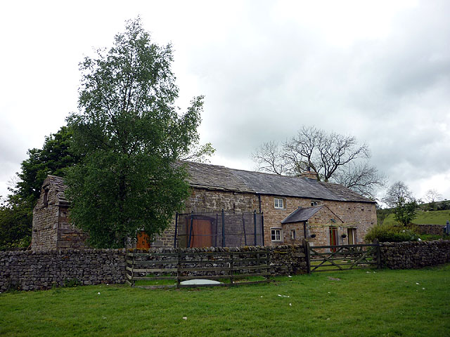
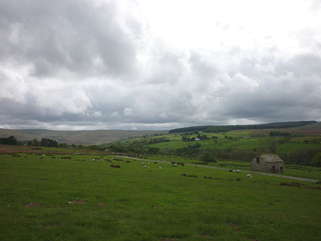
Foss Bank Wood is a picturesque woodland located in the county of Lancashire, England. Stretching over an area of approximately 50 acres, this captivating forest is a haven for nature enthusiasts and offers a tranquil retreat from the hustle and bustle of city life.
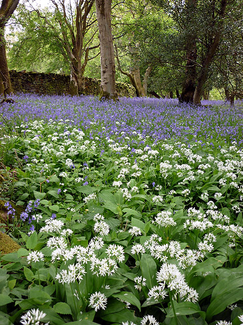
The wood is primarily composed of native broadleaf trees such as oak, birch, and ash, which create a dense canopy providing shade and shelter for a diverse range of flora and fauna. The forest floor is adorned with a rich carpet of bluebells, wild garlic, and ferns, adding to the enchanting atmosphere of the wood.
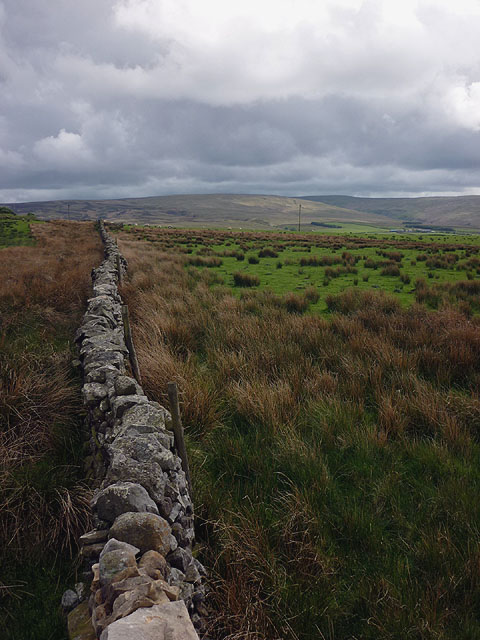
Visitors to Foss Bank Wood can embark on a network of well-maintained trails that meander through the woodland, allowing them to explore its hidden corners and discover its natural wonders. These paths are suitable for both leisurely strolls and more challenging hikes, catering to individuals of all fitness levels.
The wood is home to a variety of wildlife, including birds such as woodpeckers, owls, and thrushes, which can be heard chirping and singing throughout the day. Deer and foxes are occasionally spotted, adding a touch of excitement to any visit.
Foss Bank Wood is a popular destination for nature lovers, families, and avid photographers. Its tranquil ambiance and natural beauty make it an ideal spot for picnics, photography sessions, and simply immersing oneself in the serenity of nature.
Overall, Foss Bank Wood is a captivating woodland in Lancashire that offers a serene escape into nature, showcasing the beauty and diversity of the region's flora and fauna.
If you have any feedback on the listing, please let us know in the comments section below.
Foss Bank Wood Images
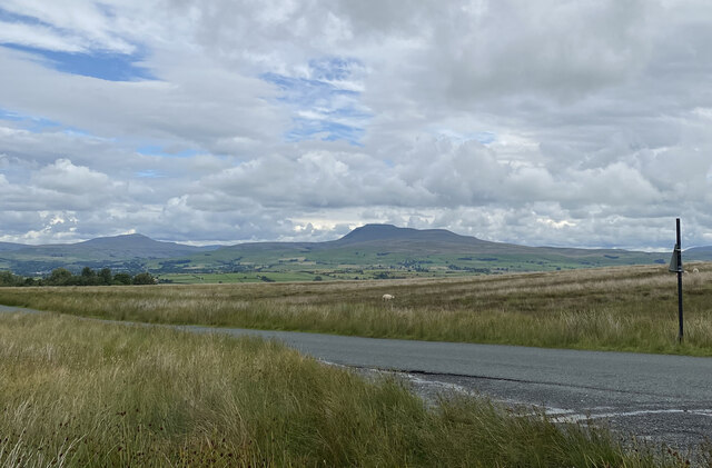
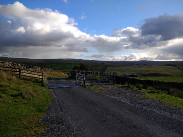
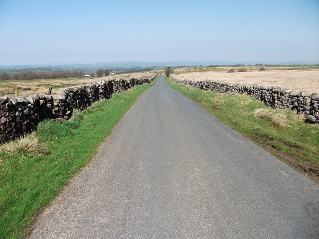
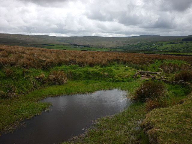
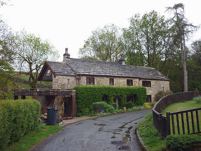
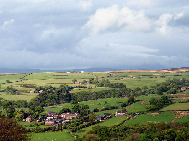
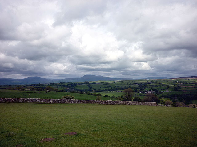
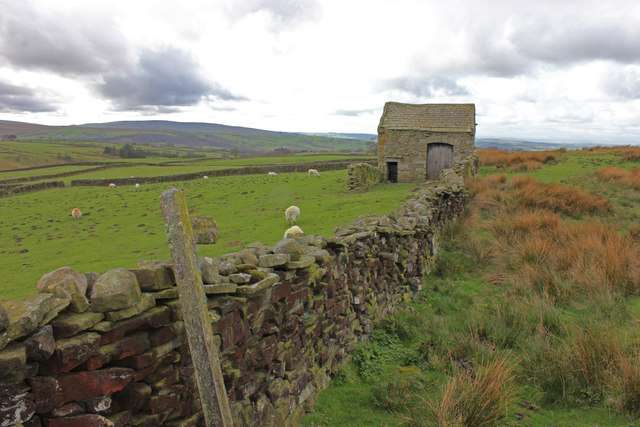
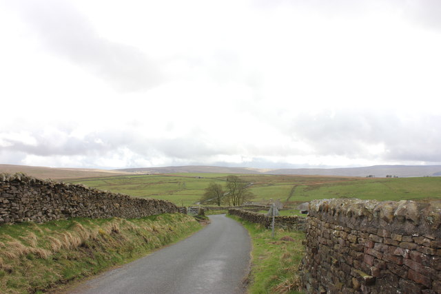
Images are sourced within 2km of 54.081558/-2.5258041 or Grid Reference SD6565. Thanks to Geograph Open Source API. All images are credited.


Foss Bank Wood is located at Grid Ref: SD6565 (Lat: 54.081558, Lng: -2.5258041)
Administrative County: Lancashire
District: Lancaster
Police Authority: Lancashire
What 3 Words
///workflow.plan.orbit. Near High Bentham, North Yorkshire
Nearby Locations
Related Wikis

Church of the Good Shepherd, Tatham
The Church of the Good Shepherd is on Tatham Fell in Lancashire, England. It is an active Anglican parish church in the deanery of Tunstall, the archdeaconry...

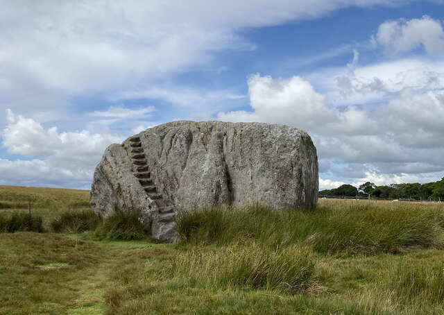
Great Stone of Fourstones
The Great Stone of Fourstones, or the Big Stone as it is known locally, is a glacial deposit on the moorlands of Tatham Fells, England, straddling the...

St Margaret's Church, High Bentham
St Margaret's Church is in Station Road, High Bentham, North Yorkshire, England. It is an Anglican parish church in the deanery of Ewecross, the archdeaconry...

Bentham railway station
Bentham is a railway station on the Bentham Line, which runs between Leeds and Morecambe via Skipton. The station, situated 19 miles (31 km) east of Lancaster...
Nearby Amenities
Located within 500m of 54.081558,-2.5258041Have you been to Foss Bank Wood?
Leave your review of Foss Bank Wood below (or comments, questions and feedback).