Bigmines Plantation

Wood, Forest in Shropshire

England

Bigmines Plantation

Muckley Cross Farm
Muckley Cross Farm Credit: Peter Whatley

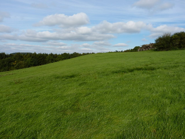
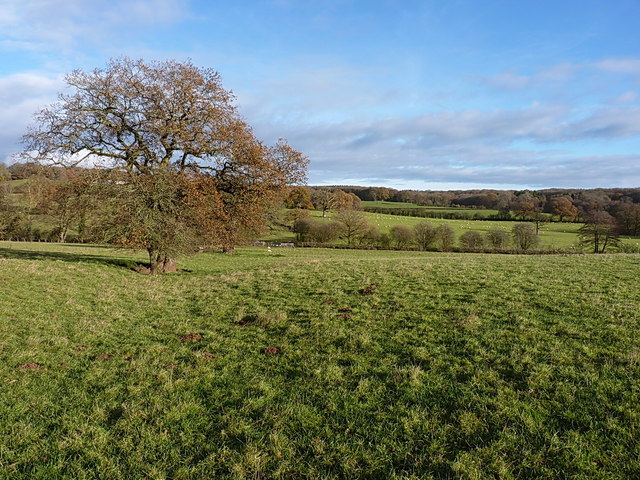
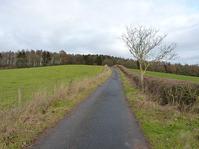
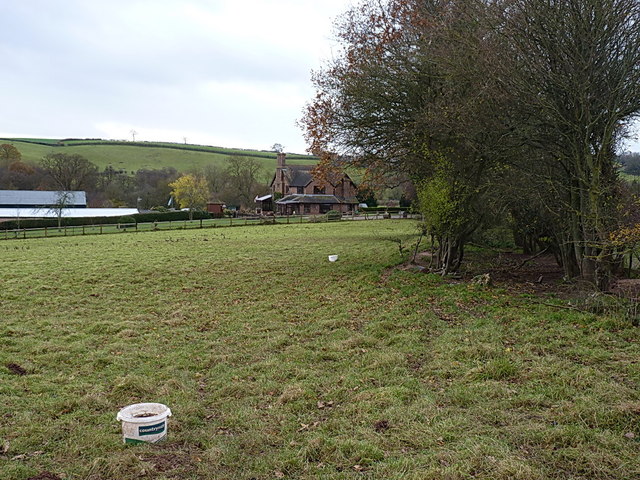
Bigmines Plantation is a picturesque woodland located in the county of Shropshire, England. Covering an extensive area of land, it is renowned for its enchanting beauty and rich biodiversity. The plantation is situated in the heart of the county, nestled between rolling hills and idyllic countryside, providing a tranquil escape for visitors.

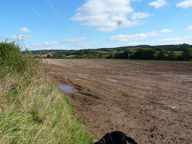
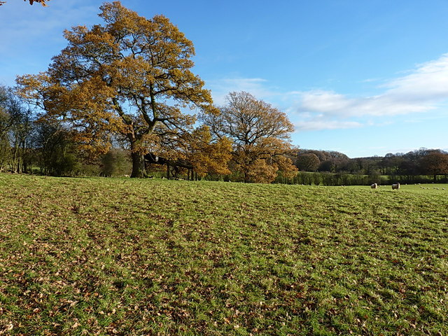
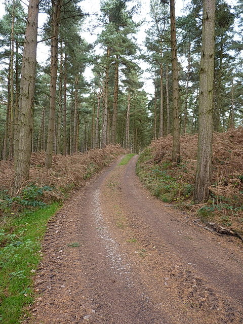
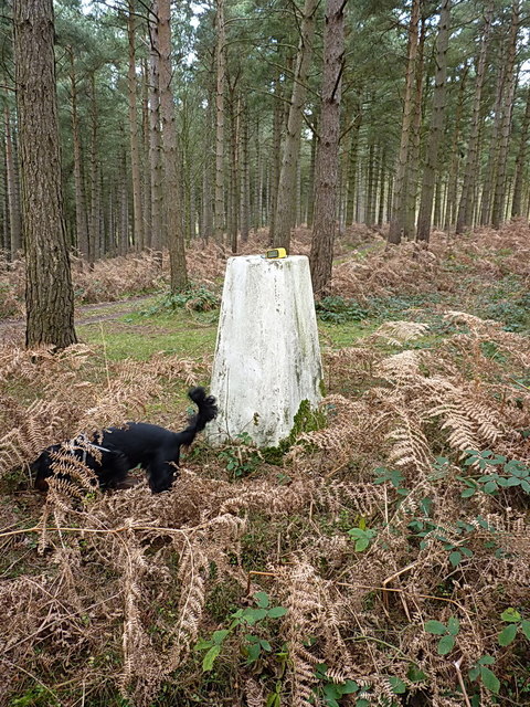
The woodland is predominantly composed of a variety of trees, with oak, beech, and pine being the most prevalent species. The dense canopy created by these towering trees provides shelter to numerous species of birds, making it a haven for birdwatchers and nature enthusiasts. The forest floor is carpeted with a diverse range of flora, including bluebells, ferns, and wildflowers, adding to the plantation's natural charm.

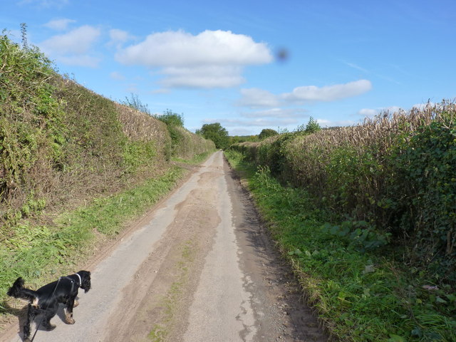
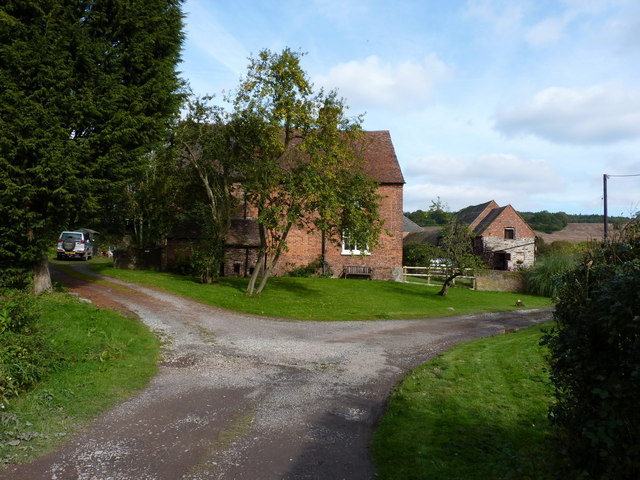
Visitors to Bigmines Plantation can explore the woodland through a network of well-maintained trails, allowing them to immerse themselves in the tranquility of nature. The plantation also features picnic areas, providing the perfect spot for families and friends to enjoy a scenic lunch amidst the beauty of the forest.

Aside from its scenic allure, Bigmines Plantation is also cherished for its conservation efforts. The woodland is managed sustainably, ensuring the preservation of its delicate ecosystem. This includes regular tree planting initiatives and the maintenance of habitats for local wildlife, contributing to the overall health of the woodland and its inhabitants.

In conclusion, Bigmines Plantation is a captivating woodland in Shropshire, boasting a diverse range of trees, flora, and fauna. Its natural beauty, coupled with its commitment to conservation, makes it a cherished destination for nature lovers and a valuable asset to the local ecosystem.

If you have any feedback on the listing, please let us know in the comments section below.

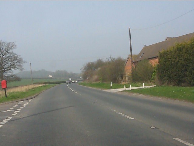
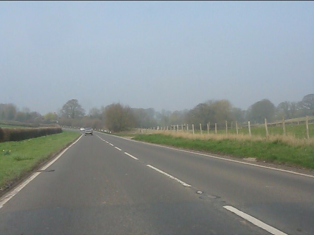
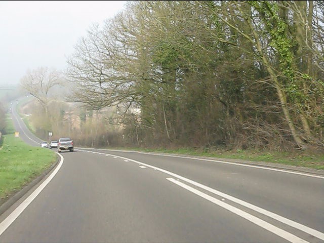
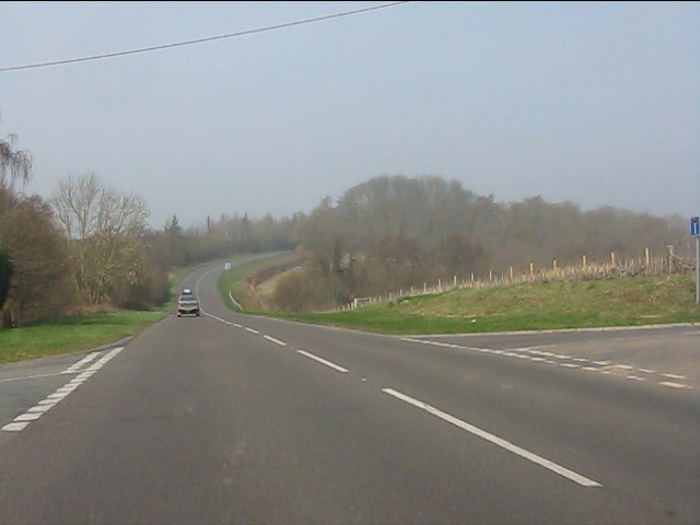
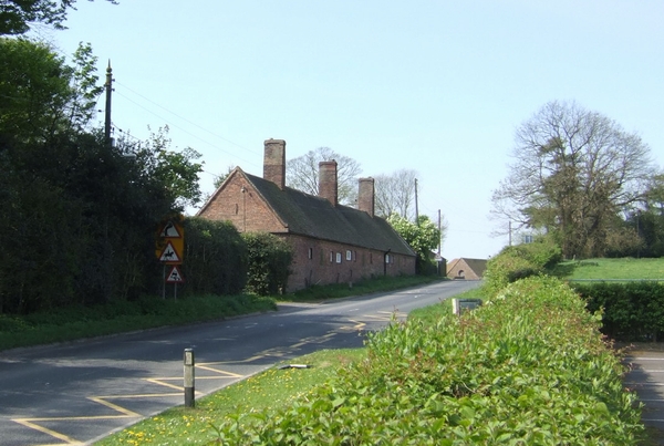
Bigmines Plantation Images

Images are sourced within 2km of 52.576793/-2.5114041 or Grid Reference SO6597. Thanks to Geograph Open Source API. All images are credited.

Muckley Cross Farm
Muckley Cross Farm
A458 north of Muckley Cross
A458 near Watkis Coppice
Crossroads on the A458 near Beggarhill Brook Farm
Muddy field near Atterley
The lane to the Atterley Farms
Atterley House Farm The main farmhouse at Atterley, from the crossroads of tracks to the south.
Atterley House Farm
The main farmhouse at Atterley, from the crossroads of tracks to the south.
Across fields north of Atterley Farm The fields have been taped off into horse paddocks, as a small livery operates at Atterley.
Across fields north of Atterley Farm
The fields have been taped off into horse paddocks, as a small livery operates at Atterley.
View of a field and woodpile south of Hillview Farm There's a large pile of felled logs just behind the fence on the right at the top of the hill. This is adjacent to the footpath from Atterley to Shirlett.
View of a field and woodpile south of Hillview Farm
There's a large pile of felled logs just behind the fence on the right at the top of the hill. This is adjacent to the footpath from Atterley to Shirlett.
Atterley Farm The main farmhouse does rather hide its light under a bushel (or behind a tree, at any rate)
Atterley Farm
The main farmhouse does rather hide its light under a bushel (or behind a tree, at any rate)
Footpath towards Hawthorne Farm A row of old oak trees and a ditch mark the line of a former hedge, now followed by a path from Muckley Cross to Hawthorne Farm.
Footpath towards Hawthorne Farm
A row of old oak trees and a ditch mark the line of a former hedge, now followed by a path from Muckley Cross to Hawthorne Farm.
Across a field towards Well Dingle Autumn oaks and a collapsing field barn beneath them, just to the south of Hawthorne Farm.
Across a field towards Well Dingle
Autumn oaks and a collapsing field barn beneath them, just to the south of Hawthorne Farm.
Hawthorne Farm from the south Approaching the farm through sheep-fields from Muckley Cross; the legal path goes to the right of the house, but there seems to have been an acceptance that the gateway into the farmyard to the left of the house is in more common use.
Hawthorne Farm from the south
Approaching the farm through sheep-fields from Muckley Cross; the legal path goes to the right of the house, but there seems to have been an acceptance that the gateway into the farmyard to the left of the house is in more common use.
OS benchmark - Hawthorne Farm barn An OS cutmark in the bricks of a barn at Hawthorne Farm; originally levelled at 164.638m above Ordnance Datum Newlyn. This one's a bit awkward to access, as a cattle shed has been built onto the end of the original barn, leaving only a narrow gap to poke a head or camera through (not both at the same time)
OS benchmark - Hawthorne Farm barn
An OS cutmark in the bricks of a barn at Hawthorne Farm; originally levelled at 164.638m above Ordnance Datum Newlyn. This one's a bit awkward to access, as a cattle shed has been built onto the end of the original barn, leaving only a narrow gap to poke a head or camera through (not both at the same time)
Hawthorne Farm access road Back up the hill (ie away from the farm) towards Hawthorn Bank woods.
Hawthorne Farm access road
Back up the hill (ie away from the farm) towards Hawthorn Bank woods.
Farm track through Hawthorn Bank woods This forms part of the access track to the farm just to the south.
Farm track through Hawthorn Bank woods
This forms part of the access track to the farm just to the south.
Trig point on Shirlett Common A relatively little-visited trig in the Shropshire countryside; this one sports Flush Bracket S1987. Daft Dog enjoyed the scent of many pheasants.
Trig point on Shirlett Common
A relatively little-visited trig in the Shropshire countryside; this one sports Flush Bracket S1987. Daft Dog enjoyed the scent of many pheasants.
Cottage at Muckley Cross A particularly fine rural cottage and its outbuildings, just off the A458 road.
Cottage at Muckley Cross
A particularly fine rural cottage and its outbuildings, just off the A458 road.
Show me another place!

Bigmines Plantation is located at Grid Ref: SO6597 (Lat: 52.576793, Lng: -2.5114041)

Unitary Authority: Shropshire

Police Authority: West Mercia

What 3 Words

///weeds.legal.ranted. Near Much Wenlock, Shropshire

Related Wikis

Atterley

Atterley is a village in Shropshire, England.

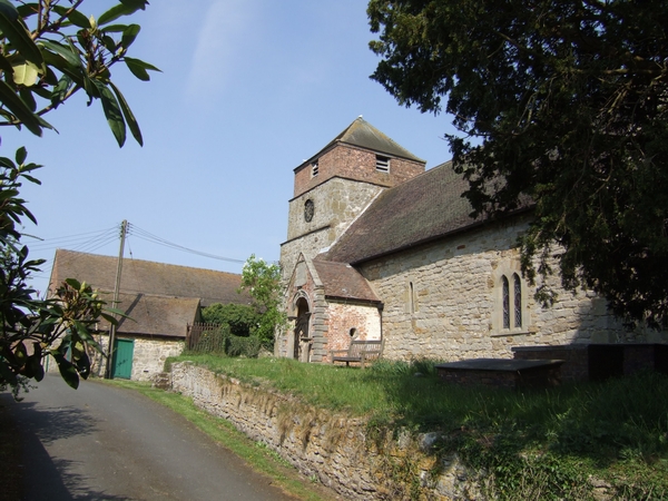
St Giles' Church, Barrow

St Giles' Church is in the hamlet of Barrow, Shropshire, England. It is an active Anglican parish church in the deanery of Telford Severn Gorge, the archdeaconry...

Willey, Shropshire

Willey is a small village in the civil parish of Barrow, south west of the town of Broseley, Shropshire, England. It is made up of about 4 farms and the...

Barrow, Shropshire

Barrow is a hamlet and civil parish in Shropshire, England, some 5 miles south of Telford between Ironbridge and Much Wenlock. Although Barrow itself consists...

Nearby Amenities

Located within 500m of 52.576793,-2.5114041
Barrier: yes
Lat/Long: 52.5754185/-2.512827
Generator Method: photovoltaic
Generator Output Electricity: yes
Generator Source: solar
Generator Type: solar_photovoltaic_panel
Location: roof
Power: generator
Lat/Long: 52.5788046/-2.5171861
The data included in this document is from www.openstreetmap.org. The data is made available under ODbL.

Have you been to Bigmines Plantation?

Leave your review of Bigmines Plantation below (or comments, questions and feedback).