Coronation Plantation

Wood, Forest in Dorset

England

Coronation Plantation

Holy Trinity Church, Godmanstone, Dorset Originally built in 12th or even the 11th century, the church has been built and rebuilt many times with the last restoration taking place in the 1860s.
Holy Trinity Church, Godmanstone, Dorset Credit: Ray Jennings

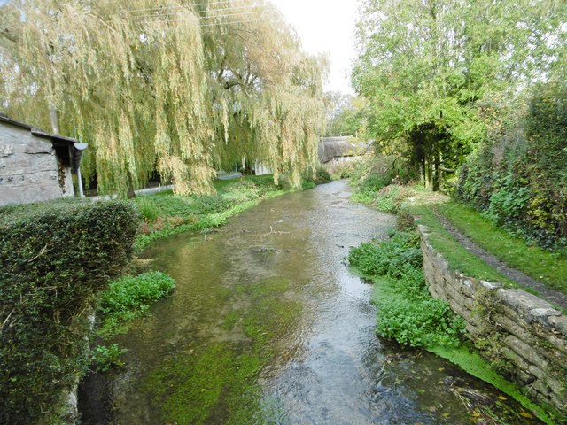
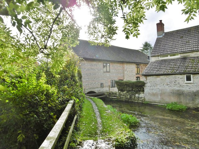
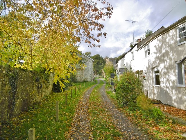
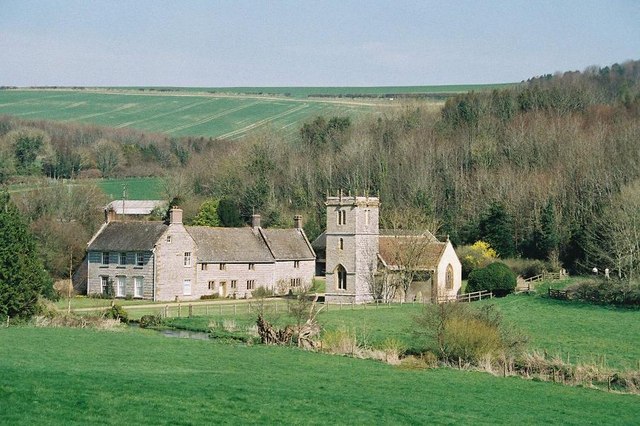
Coronation Plantation is a picturesque woodland located in Dorset, England. It is a part of the larger Wareham Forest and covers an area of approximately 250 acres. The plantation is easily accessible from the nearby town of Wareham and is a popular destination for nature enthusiasts and hikers alike.

The woodland is characterized by a diverse range of tree species, including oak, beech, and conifers. These trees provide a lush green canopy, creating a peaceful and tranquil atmosphere. The forest floor is covered with a carpet of ferns, bluebells, and other wildflowers, adding to its natural beauty.

Coronation Plantation offers a network of well-maintained walking trails that wind through the woodland, allowing visitors to explore its hidden corners and discover its wildlife. The trails are suitable for all abilities, with options for short strolls or longer hikes. Along the way, visitors may encounter various bird species, such as woodpeckers and song thrushes, as well as small mammals like squirrels and deer.

The plantation is also home to several picnic areas, making it an ideal spot for families and groups to enjoy a leisurely outdoor lunch amidst the serene surroundings. Additionally, there are designated areas for cycling and horse riding, providing opportunities for different recreational activities within the plantation.

Overall, Coronation Plantation, Dorset, offers a delightful escape into nature, where visitors can immerse themselves in the tranquility of the woodland, enjoy its diverse flora and fauna, and engage in various outdoor activities.

If you have any feedback on the listing, please let us know in the comments section below.

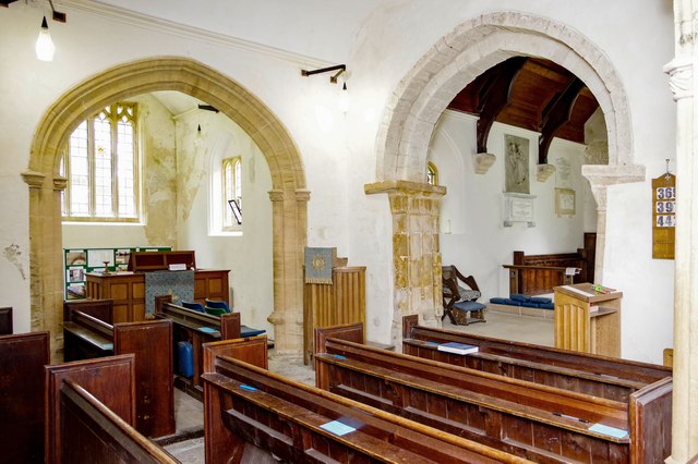
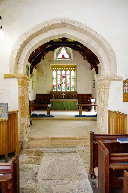
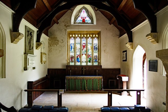
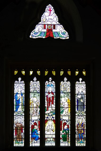
Coronation Plantation Images

Images are sourced within 2km of 50.764275/-2.4949397 or Grid Reference SY6596. Thanks to Geograph Open Source API. All images are credited.

Holy Trinity Church, Godmanstone, Dorset Originally built in 12th or even the 11th century, the church has been built and rebuilt many times with the last restoration taking place in the 1860s.
Holy Trinity Church, Godmanstone, Dorset
Originally built in 12th or even the 11th century, the church has been built and rebuilt many times with the last restoration taking place in the 1860s.
Holy Trinity Church, Godmanstone, Dorset The nave.
Holy Trinity Church, Godmanstone, Dorset
The nave.
Holy Trinity Church, Godmanstone, Dorset View of the late 15th or early 16th-century South aisle and chapel.
Holy Trinity Church, Godmanstone, Dorset
View of the late 15th or early 16th-century South aisle and chapel.
Holy Trinity Church, Godmanstone, Dorset A view of the late 15th or early 16th-century North or Manor chapel. The arch is 15th-century.
Holy Trinity Church, Godmanstone, Dorset
A view of the late 15th or early 16th-century North or Manor chapel. The arch is 15th-century.
Holy Trinity Church, Godmanstone, Dorset A fine view of the Norman Chancel arch.
Holy Trinity Church, Godmanstone, Dorset
A fine view of the Norman Chancel arch.
Holy Trinity Church, Godmanstone, Dorset The Chancel; indicating that some TLC might be in order.
Holy Trinity Church, Godmanstone, Dorset
The Chancel; indicating that some TLC might be in order.
Holy Trinity Church, Godmanstone, Dorset Whilst the window is 15th-century, the beautiful stained glass was inserted as recently as 1930.
Holy Trinity Church, Godmanstone, Dorset
Whilst the window is 15th-century, the beautiful stained glass was inserted as recently as 1930.
Holy Trinity Church, Godmanstone, Dorset Beautiful stained glass in the North wall of the Chancel, depicting St Matthew and St Mark.
Holy Trinity Church, Godmanstone, Dorset
Beautiful stained glass in the North wall of the Chancel, depicting St Matthew and St Mark.
Holy Trinity Church, Godmanstone, Dorset Beautiful stained glass in the South wall of the chancel, depicting St Luke and St John.
Holy Trinity Church, Godmanstone, Dorset
Beautiful stained glass in the South wall of the chancel, depicting St Luke and St John.
Holy Trinity Church, Godmanstone, Dorset The Font is late 15th-century but with Victorian panelling.
Holy Trinity Church, Godmanstone, Dorset
The Font is late 15th-century but with Victorian panelling.
Holy Trinity Church, Godmanstone, Dorset The Font is late 15th-century but with Victorian panelling.
Holy Trinity Church, Godmanstone, Dorset
The Font is late 15th-century but with Victorian panelling.
Godmanstone, farm buildings At Manor Farm on Dorchester Road.
Godmanstone, farm buildings
At Manor Farm on Dorchester Road.
Godmanstone, River Cerne Looking upstream from <a href="https://www.geograph.org.uk/photo/4718758">SY6697 : Godmanstone Mill</a>.
Godmanstone, River Cerne
Looking upstream from SY6697 : Godmanstone Mill.
Godmanstone Mill Once powered by the River Cerne; now residential.
Godmanstone Mill
Once powered by the River Cerne; now residential.
Godmanstone, Church Lane Lane from Dorchester Road to the parish church; left, the village hall; right, cottages.
Godmanstone, Church Lane
Lane from Dorchester Road to the parish church; left, the village hall; right, cottages.
Godmanstone Village Hall On Church Lane.
Godmanstone Village Hall
On Church Lane.
The Smiths Arms, Godmanstone This erstwhile public house claimed to be the smallest in Britain. The story goes that the original licence for this pub was granted by King Charles II when he requested that the village smith serve him a glass of port. The smith refused because he had no licence, so Charles granted him one on the spot and was served his drink. (Source: Wikipedia)
The Smiths Arms, Godmanstone
This erstwhile public house claimed to be the smallest in Britain. The story goes that the original licence for this pub was granted by King Charles II when he requested that the village smith serve him a glass of port. The smith refused because he had no licence, so Charles granted him one on the spot and was served his drink. (Source: Wikipedia)
Show me another place!

Coronation Plantation is located at Grid Ref: SY6596 (Lat: 50.764275, Lng: -2.4949397)

Unitary Authority: Dorset

Police Authority: Dorset

What 3 Words

///intention.strange.enter. Near Charminster, Dorset

Related Wikis

Godmanstone

Godmanstone (or Godmanston) is a village and civil parish in the county of Dorset in southern England, situated approximately 4 miles (6.4 km) north of...
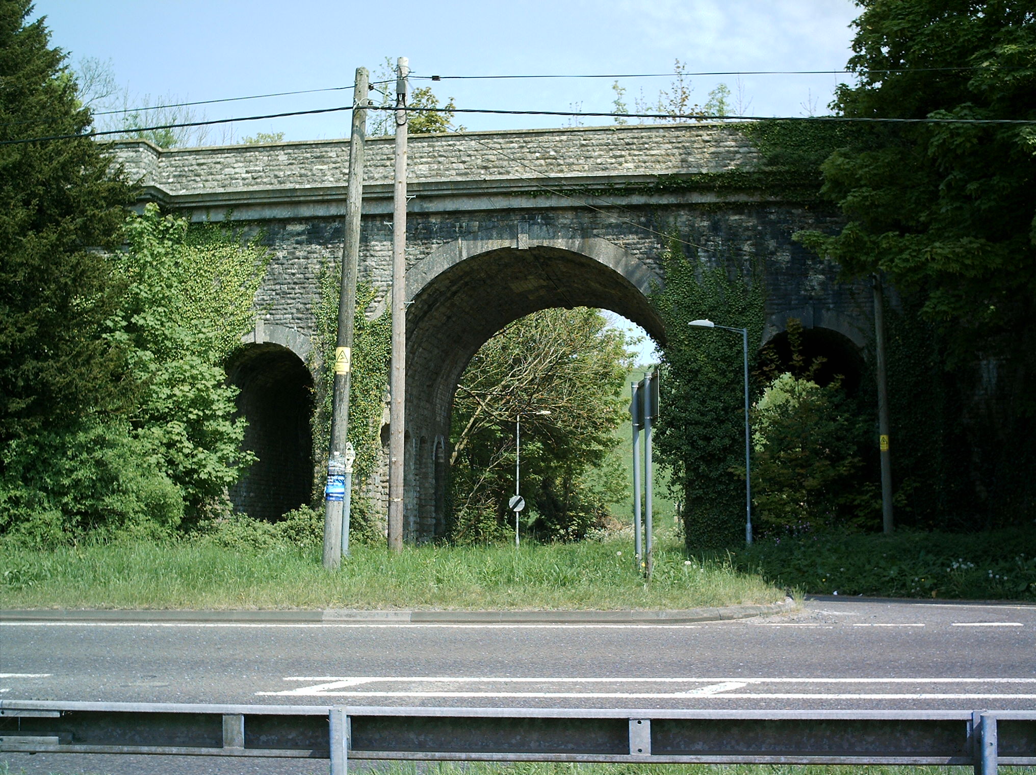
Grimstone Viaduct

The Grimstone Viaduct is a railway bridge on the Castle Cary-Weymouth "Heart of Wessex" line in Dorset, England. It is directly north of the site of Grimstone...

Grimstone and Frampton railway station

Grimstone and Frampton railway station was a station on the Wiltshire, Somerset & Weymouth Railway, part of the Great Western Railway between Maiden Newton...

Stratton, Dorset

Stratton is a village and civil parish in Dorset, England, situated in the Frome valley about 3 miles (4.8 km) north-west of Dorchester. The parish includes...

Bradford Peverell & Stratton Halt

Bradford Peverell and Stratton Halt was a station on the Great Western Railway on what had originally been part of the Wiltshire, Somerset & Weymouth Railway...

Shearplace Hill Enclosure

The Shearplace Hill Enclosure is an archaeological site of the Bronze Age, about 1.5 miles (2.4 km) south-west of Cerne Abbas in Dorset, England. It is...

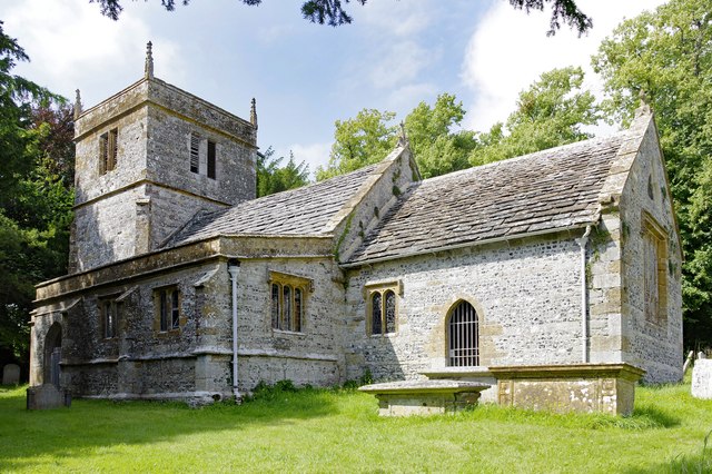
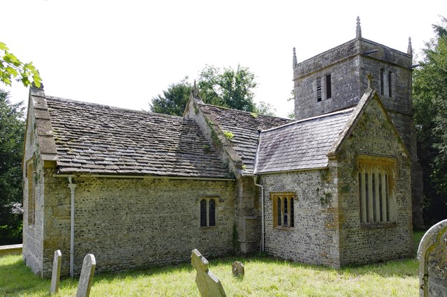
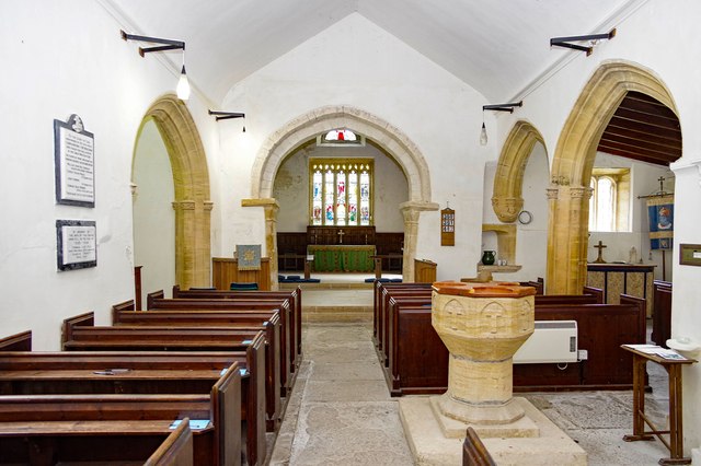
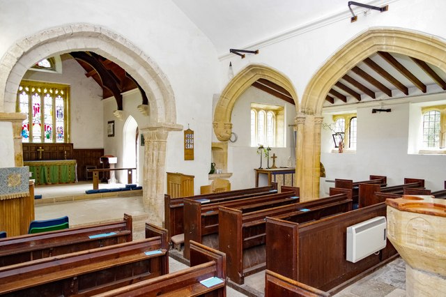
All Saints Church, Nether Cerne

All Saints Church in Nether Cerne, Dorset, England was built in the late 13th century. It is recorded in the National Heritage List for England as a designated...

Nether Cerne

Nether Cerne is a hamlet and civil parish in the English county of Dorset. It lies within the Dorset unitary authority administrative area, about 5 miles...

Nearby Amenities

Located within 500m of 50.764275,-2.4949397
Historic: wayside_cross
Source: survey
Survey Date: 2021-07-18
Lat/Long: 50.7625395/-2.4991006
Communication Microwave: yes
Man Made: mast
Tower Type: communication
Lat/Long: 50.7645486/-2.4929255
The data included in this document is from www.openstreetmap.org. The data is made available under ODbL.

Have you been to Coronation Plantation?

Leave your review of Coronation Plantation below (or comments, questions and feedback).