Bull's Wood
Wood, Forest in Somerset Mendip
England
Bull's Wood
Bull's Wood is a picturesque woodland area located in Somerset, England. Spanning over 100 acres, it is known for its natural beauty and diverse ecosystem. The wood is situated near the village of Bull's Cross, hence deriving its name from the locality.
The wood is primarily composed of native broadleaf trees, including oak, beech, and ash, which provide a dense canopy overhead. This creates a shaded and tranquil atmosphere, perfect for leisurely walks and exploration. The forest floor is covered in a rich carpet of mosses, ferns, and wildflowers, adding to the enchanting ambiance.
Bull's Wood is home to a variety of wildlife, attracting nature enthusiasts and birdwatchers alike. The wood provides a habitat for a range of bird species, such as woodpeckers, owls, and warblers. Mammals like deer, badgers, and foxes also inhabit the area, thriving in the woodland's abundant resources.
There are several well-marked trails and footpaths that wind through Bull's Wood, allowing visitors to fully immerse themselves in the natural surroundings. These paths offer scenic views of the woodland, with occasional glimpses of sunlight filtering through the trees.
The wood is managed by the local authorities to ensure its preservation and protection. Regular conservation efforts are made to maintain the delicate balance of the ecosystem and promote biodiversity.
Bull's Wood is a haven for those seeking solace amidst nature's splendor. Its idyllic setting, diverse flora and fauna, and well-maintained trails make it a popular destination for both locals and tourists, providing a peaceful retreat from the hustle and bustle of everyday life.
If you have any feedback on the listing, please let us know in the comments section below.
Bull's Wood Images
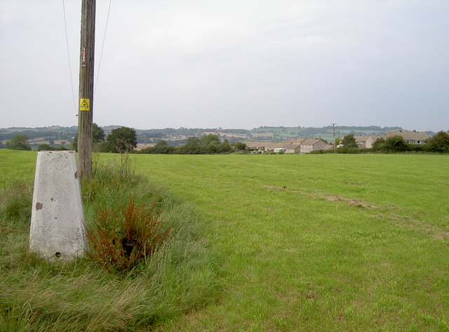
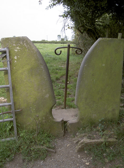
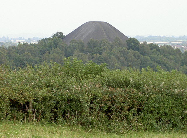
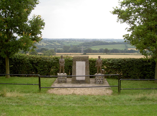
Images are sourced within 2km of 51.286351/-2.5005337 or Grid Reference ST6554. Thanks to Geograph Open Source API. All images are credited.


Bull's Wood is located at Grid Ref: ST6554 (Lat: 51.286351, Lng: -2.5005337)
Administrative County: Somerset
District: Mendip
Police Authority: Avon and Somerset
What 3 Words
///doghouse.shopping.glorious. Near Midsomer Norton, Somerset
Nearby Locations
Related Wikis

Somervale School
Somervale School is situated in Midsomer Norton in Bath and North East Somerset in South West England. The school, which has academy status, is a specialist...

The Priory, Midsomer Norton
The Priory in Church Square, Midsomer Norton, within the English county of Somerset was rebuilt in the early or mid 17th century. It is a Grade II* listed...

Church of St John the Baptist, Midsomer Norton
The Anglican Church of St John the Baptist in Midsomer Norton, Somerset, England, is a Grade II* listed building. St. John's is part of the Diocese of...
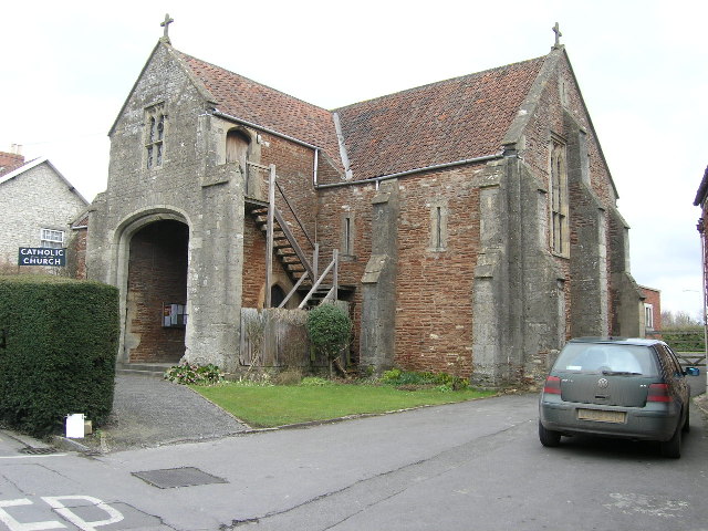
Church of the Holy Ghost, Midsomer Norton
The Church of the Holy Ghost, Midsomer Norton, Somerset, England is a Roman Catholic parish church housed in a converted tithe barn. It is served by monks...
Nearby Amenities
Located within 500m of 51.286351,-2.5005337Have you been to Bull's Wood?
Leave your review of Bull's Wood below (or comments, questions and feedback).