Watcombe Bottom
Valley in Dorset
England
Watcombe Bottom
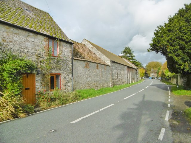
Watcombe Bottom is a picturesque valley located in the county of Dorset, England. Situated near the town of Weymouth, it is a popular destination for nature lovers and outdoor enthusiasts. The valley is part of the larger Lorton Meadows Nature Reserve, which covers an area of 130 hectares.
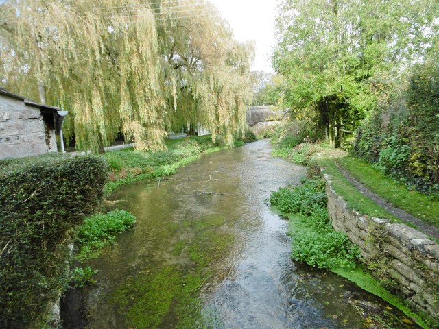
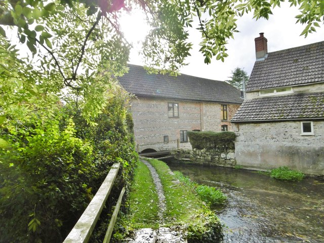
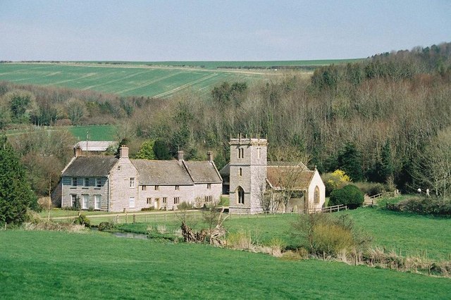
The landscape of Watcombe Bottom is characterized by rolling meadows, dense woodlands, and a tranquil stream that runs through the valley. The valley is home to a diverse range of flora and fauna, making it an important habitat for wildlife conservation. Visitors can spot various species of birds, butterflies, and wildflowers while exploring the area.
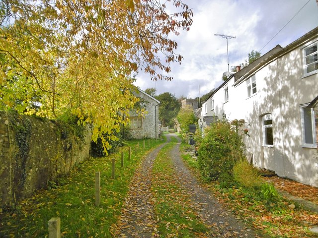
There are several walking trails and footpaths that crisscross through Watcombe Bottom, offering visitors the opportunity to explore the valley's natural beauty. The trails vary in difficulty, catering to all levels of fitness and experience. Along the way, hikers can enjoy panoramic views of the surrounding countryside and may even catch a glimpse of the nearby Jurassic Coastline.
Watcombe Bottom also features a number of picnic spots, making it an ideal location for a day out with family and friends. The peaceful atmosphere and scenic surroundings provide the perfect setting for relaxation and unwinding. Additionally, there are facilities for birdwatching and nature photography, attracting enthusiasts from near and far.
In conclusion, Watcombe Bottom is a captivating valley in Dorset that offers visitors a chance to immerse themselves in nature. With its diverse wildlife, picturesque landscapes, and recreational activities, it is a must-visit destination for those seeking tranquility and natural beauty.
If you have any feedback on the listing, please let us know in the comments section below.
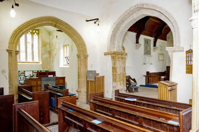
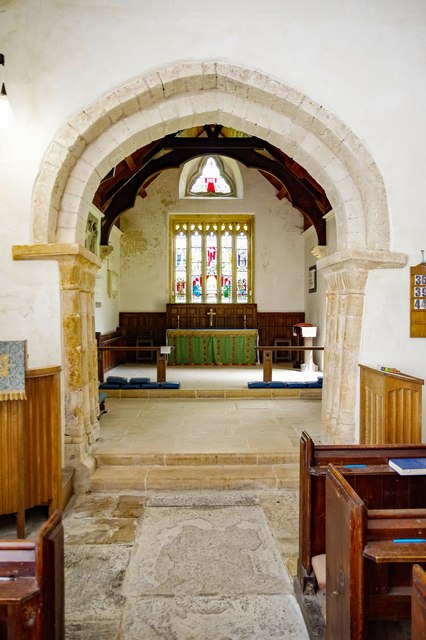
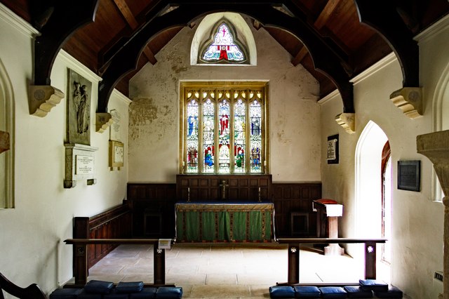
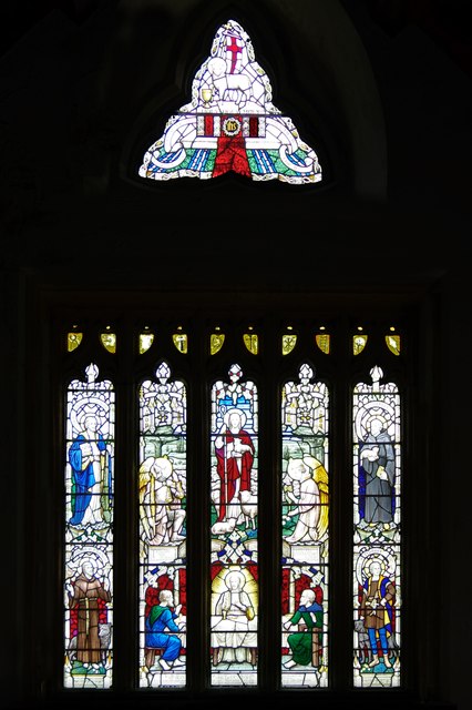
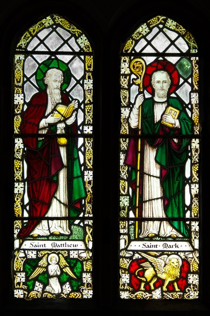
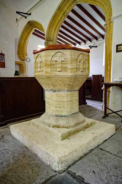
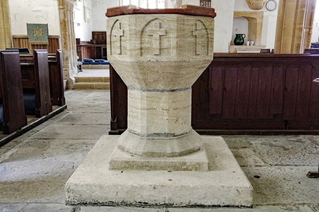
Watcombe Bottom Images
Images are sourced within 2km of 50.762829/-2.4838225 or Grid Reference SY6596. Thanks to Geograph Open Source API. All images are credited.


Watcombe Bottom is located at Grid Ref: SY6596 (Lat: 50.762829, Lng: -2.4838225)
Unitary Authority: Dorset
Police Authority: Dorset
What 3 Words
///brew.shiny.thirsty. Near Charminster, Dorset
Nearby Locations
Related Wikis

Godmanstone
Godmanstone (or Godmanston) is a village and civil parish in the county of Dorset in southern England, situated approximately 4 miles (6.4 km) north of...

Herrison Hospital
Herrison Hospital was a mental health facility in Charminster, Dorset. == History == The hospital, which was designed by Henry Edward Kendall Jr. using...

Charlton Down
Charlton Down is a new village in Dorset, England, situated approximately 4 miles (6.4 km) north of the county town Dorchester. It lies within the civil...

Bradford Peverell & Stratton Halt
Bradford Peverell and Stratton Halt was a station on the Great Western Railway on what had originally been part of the Wiltshire, Somerset & Weymouth Railway...

Stratton, Dorset
Stratton is a village and civil parish in Dorset, England, situated in the Frome valley about 3 miles (4.8 km) north-west of Dorchester. The parish includes...

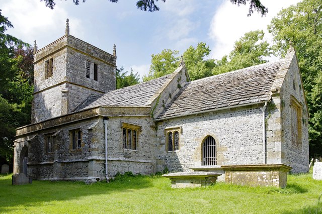
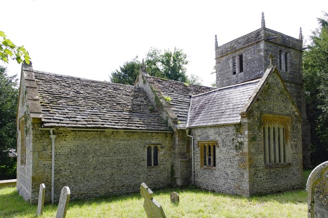
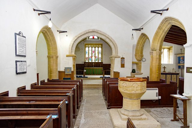
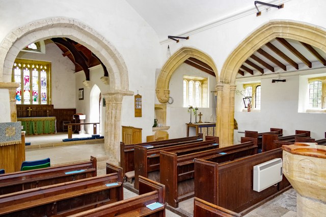
All Saints Church, Nether Cerne
All Saints Church in Nether Cerne, Dorset, England was built in the late 13th century. It is recorded in the National Heritage List for England as a designated...
Nether Cerne
Nether Cerne is a hamlet and civil parish in the English county of Dorset. It lies within the Dorset unitary authority administrative area, about 5 miles...
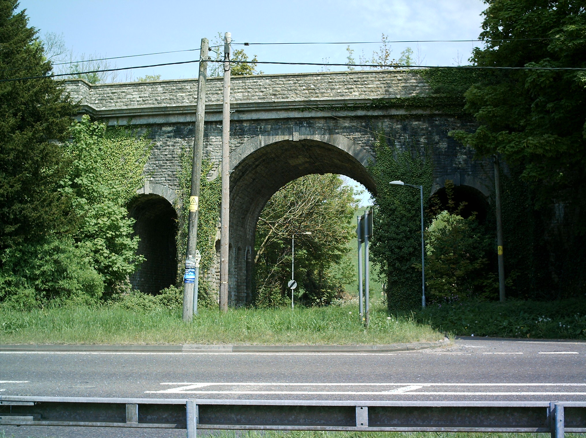
Grimstone Viaduct
The Grimstone Viaduct is a railway bridge on the Castle Cary-Weymouth "Heart of Wessex" line in Dorset, England. It is directly north of the site of Grimstone...
Have you been to Watcombe Bottom?
Leave your review of Watcombe Bottom below (or comments, questions and feedback).