Black Plantation

Wood, Forest in Westmorland Eden

England

Black Plantation

Gypsum works, Kirkby Thore Melmerby Fell is in the background.
Gypsum works, Kirkby Thore Credit: Andrew Smith

Black Plantation is a woodland located in the picturesque region of Westmorland in northern England. Covering an area of approximately 100 acres, it is situated within the larger Forest of Westmorland. The plantation comprises a dense and diverse collection of trees, making it a significant natural habitat for various wildlife species.

The woodland is known for its dark and rich soil, which lends it the name "Black Plantation." The soil composition, along with the favorable climate of the region, provides ideal conditions for the growth of a wide range of tree species. Commonly found trees include oak, beech, birch, and pine, creating a varied and vibrant environment.

Black Plantation is a popular destination for nature enthusiasts, hikers, and birdwatchers who revel in its tranquil atmosphere and the abundance of wildlife. The woodland is home to numerous bird species, such as woodpeckers, owls, and songbirds, which can be spotted and heard throughout the year. Additionally, small mammals like squirrels, rabbits, and hedgehogs can be observed scurrying through the undergrowth.

The woodland is managed by local authorities, who ensure the preservation and sustainability of the ecosystem. They maintain footpaths and trails, allowing visitors to explore the plantation while minimizing any impact on the environment. Educational programs and guided tours are also conducted to promote awareness and understanding of the importance of woodland conservation.

Overall, Black Plantation in Westmorland offers a serene and captivating experience for nature lovers, providing a natural respite from the hustle and bustle of modern life.

If you have any feedback on the listing, please let us know in the comments section below.

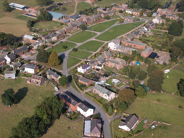
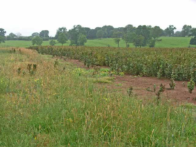
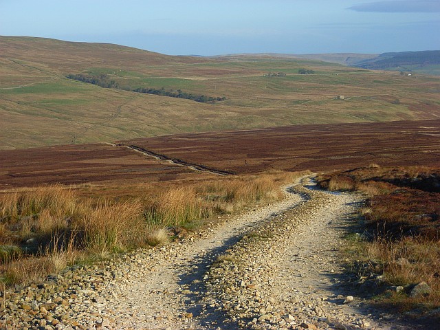
Black Plantation Images

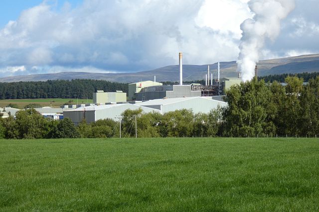
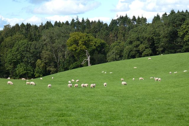
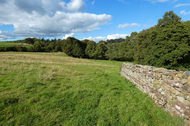
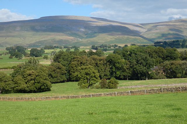
Images are sourced within 2km of 54.646841/-2.5490393 or Grid Reference NY6428. Thanks to Geograph Open Source API. All images are credited.

Gypsum works, Kirkby Thore Melmerby Fell is in the background.
Gypsum works, Kirkby Thore
Melmerby Fell is in the background.
Farmland, Kirkby Thore Maize to the south of Black Plantation.
Farmland, Kirkby Thore
Maize to the south of Black Plantation.
Pasture, Newbiggin Sheep grazing above the woodland that surrounds Milburn Beck.
Pasture, Newbiggin
Sheep grazing above the woodland that surrounds Milburn Beck.
Pasture, Newbiggin The valley of Milburn Beck.
Pasture, Newbiggin
The valley of Milburn Beck.
Pasture, Newbiggin With Cross Fell forming the backdrop.
Pasture, Newbiggin
With Cross Fell forming the backdrop.
Ordnance Survey Rivet This OS rivet can be found on the SE parapet of the railway bridge. It marks a point 144.664m above mean sea level.
Ordnance Survey Rivet
This OS rivet can be found on the SE parapet of the railway bridge. It marks a point 144.664m above mean sea level.
Ordnance Survey Cut Mark This OS cut mark can be found on the wall SE side of the road. It marks a point 181.521m above mean sea level.
Ordnance Survey Cut Mark
This OS cut mark can be found on the wall SE side of the road. It marks a point 181.521m above mean sea level.
Cross Fell Cross Fell, centre left, from the Eden Valley near Long Marton
Cross Fell
Cross Fell, centre left, from the Eden Valley near Long Marton
Kirkby Thore Gypsum Plant, Cumbria The principal feature in this grid square can be appreciated from this view.  Gypsum has been quarried or mined at Kirkby Thore for over 200 years.
<span class="nowrap"><a title="http://www.visitcumbria.com/gypsum.htm" rel="nofollow ugc noopener" href="http://www.visitcumbria.com/gypsum.htm">Link</a><img style="margin-left:2px;" alt="External link" title="External link - shift click to open in new window" src="https://s1.geograph.org.uk/img/external.png" width="10" height="10"/></span>
Kirkby Thore Gypsum Plant, Cumbria
The principal feature in this grid square can be appreciated from this view. Gypsum has been quarried or mined at Kirkby Thore for over 200 years. LinkExternal link
Milburn Village, Eden Valley, Cumbria This pretty fellside village, a classic example of a medieval fortified village with a central green, is the significant feature of this grid square.
<span class="nowrap"><a title="http://www.visitcumbria.com/pen/milburn.htm" rel="nofollow ugc noopener" href="http://www.visitcumbria.com/pen/milburn.htm">Link</a><img style="margin-left:2px;" alt="External link" title="External link - shift click to open in new window" src="https://s1.geograph.org.uk/img/external.png" width="10" height="10"/></span>
Milburn Village, Eden Valley, Cumbria
This pretty fellside village, a classic example of a medieval fortified village with a central green, is the significant feature of this grid square. LinkExternal link
Milburn, Cumbria Does not show the layout of this village as well as the aerial view but does show the blustery clouds of a Helm Wind coming down from the Pennine Fells.
Milburn, Cumbria
Does not show the layout of this village as well as the aerial view but does show the blustery clouds of a Helm Wind coming down from the Pennine Fells.
Milk Stand, Halefield Farm Just outside Kirkby Thore
Milk Stand, Halefield Farm
Just outside Kirkby Thore
Train Line A branch off the Carlisle-Settle Railway runs to the British Gypsum works at Kirkby Thore.
Train Line
A branch off the Carlisle-Settle Railway runs to the British Gypsum works at Kirkby Thore.
Knock Moor The "Twin Peaks" in the distance are Knock Pike and Dufton Pike.
Knock Moor
The "Twin Peaks" in the distance are Knock Pike and Dufton Pike.
Field of beans near Milburn For animal feed
Field of beans near Milburn
For animal feed
Wire swordsman, Milburn Green This wire sculpture appears to represent a man drawing his sword and stands near the top of the village green.
Wire swordsman, Milburn Green
This wire sculpture appears to represent a man drawing his sword and stands near the top of the village green.
Fishing lake, High Slakes, near Milburn This angler's lake is obviously of very recent creation, as there is no sign of it on the 1990 OS map.
Fishing lake, High Slakes, near Milburn
This angler's lake is obviously of very recent creation, as there is no sign of it on the 1990 OS map.
High Slakes, near Milburn This was a habitable house in 1973 as the Nobel prize winner in physiology or medicine that year (Nikolaas Tinbergen, the ethologist) used it as his holiday home. It is now a holiday cottage.
High Slakes, near Milburn
This was a habitable house in 1973 as the Nobel prize winner in physiology or medicine that year (Nikolaas Tinbergen, the ethologist) used it as his holiday home. It is now a holiday cottage.
Show me another place!

Black Plantation is located at Grid Ref: NY6428 (Lat: 54.646841, Lng: -2.5490393)

Administrative County: Cumbria

District: Eden

Police Authority: Cumbria

What 3 Words

///partly.laws.socialite. Near Appleby-in-Westmorland, Cumbria

Nearby Locations

Black Plantation

Related Wikis

Have you been to Black Plantation?

Leave your review of Black Plantation below (or comments, questions and feedback).