Tunnel Coppice
Wood, Forest in Worcestershire Malvern Hills
England
Tunnel Coppice
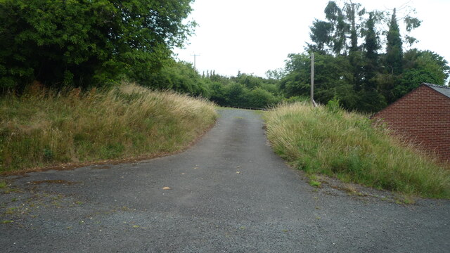
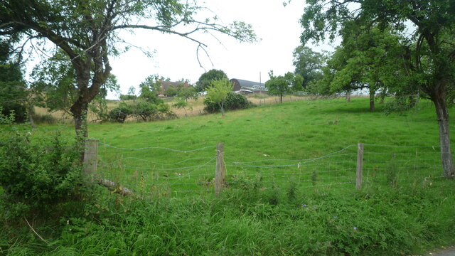
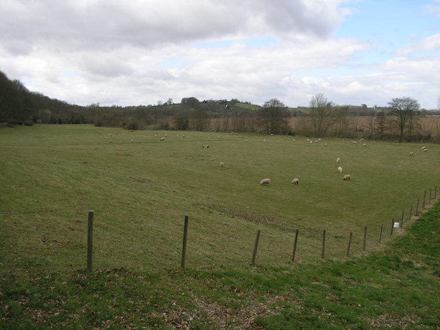
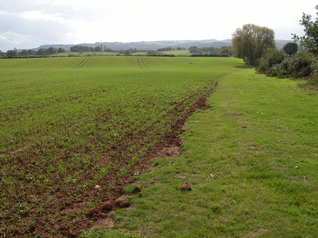
Tunnel Coppice, located in Worcestershire, England, is a picturesque woodland area that covers approximately 200 acres. Situated near the village of Rock, it is a popular destination for nature lovers and outdoor enthusiasts alike.
The coppice itself is characterized by a diverse range of tree species, including oak, ash, beech, and birch. These trees provide a lush canopy that provides shade and shelter for numerous wildlife species, making it an ideal habitat for birds, mammals, and insects.
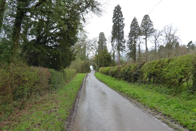
Walking through Tunnel Coppice, visitors will encounter a network of well-maintained footpaths and trails, allowing them to explore the area at their own pace. The woodland is particularly renowned for its bluebell displays in the spring, creating a stunning carpet of vibrant blue under the canopy.
The site also features a small stream that meanders through the woodland, adding to the tranquil atmosphere and providing a water source for the various flora and fauna that call the coppice home.
Tunnel Coppice offers a peaceful retreat from the hustle and bustle of daily life, with its serene surroundings and abundant wildlife. It is a popular spot for nature walks, photography, and birdwatching, attracting visitors from both the local community and further afield.
Overall, Tunnel Coppice in Worcestershire is a beautiful and diverse woodland area, providing a haven for wildlife and a tranquil escape for those seeking a connection with nature.
If you have any feedback on the listing, please let us know in the comments section below.
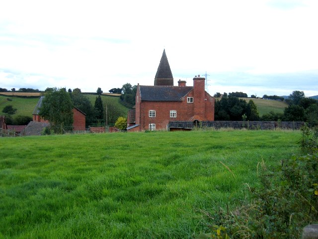
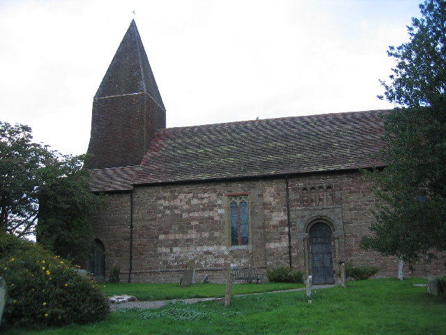
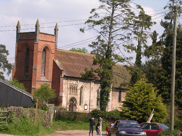
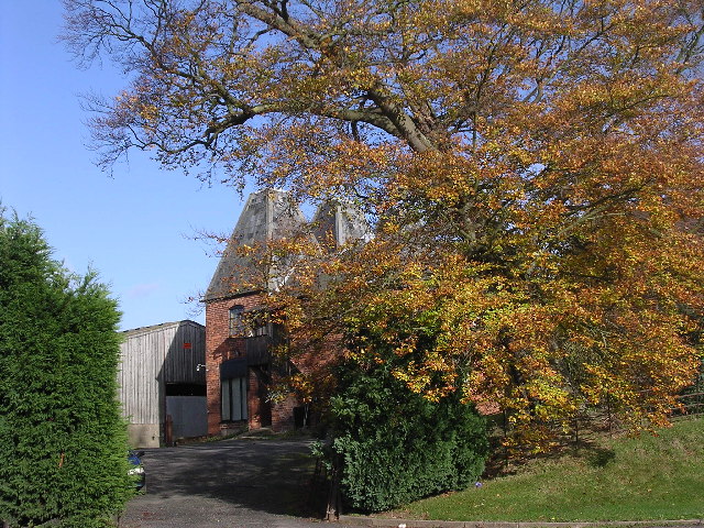
Tunnel Coppice Images
Images are sourced within 2km of 52.326974/-2.5199917 or Grid Reference SO6470. Thanks to Geograph Open Source API. All images are credited.


Tunnel Coppice is located at Grid Ref: SO6470 (Lat: 52.326974, Lng: -2.5199917)
Administrative County: Worcestershire
District: Malvern Hills
Police Authority: West Mercia
What 3 Words
///mere.campfires.readings. Near Tenbury Wells, Worcestershire
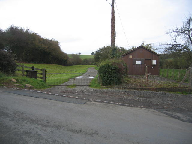
Nearby Locations
Related Wikis

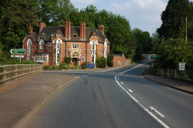
Newnham Bridge
Newnham Bridge is a village in the parish of Knighton on Teme, near Tenbury Wells, Worcestershire, England, United Kingdom. The village derives part of...

Newnham Bridge railway station
Newnham Bridge railway station was a station on the Tenbury and Bewdley Railway in Newnham Bridge, Worcestershire, England. The station was named 'Newnham...
Marlbrook, Shropshire
Marlbrook is a hamlet in Shropshire, England, right on the border with Worcestershire. == References == The geographic coordinates are from the Ordnance...

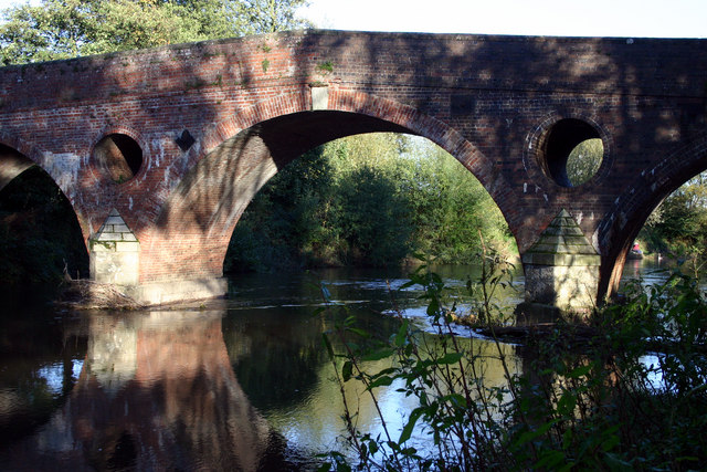
Eastham bridge
Eastham bridge was a Grade II listed bridge over the River Teme at Eastham, near Tenbury Wells, Worcestershire, England. Built as a toll bridge in 1793...
Nearby Amenities
Located within 500m of 52.326974,-2.5199917Have you been to Tunnel Coppice?
Leave your review of Tunnel Coppice below (or comments, questions and feedback).