Bank Wood
Wood, Forest in Cumberland Eden
England
Bank Wood
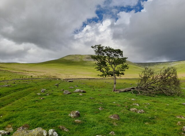
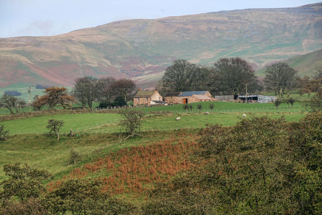
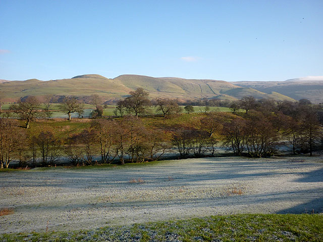
Bank Wood is a picturesque forest located in the county of Cumberland, England. Covering an area of approximately 50 acres, it is a popular destination for nature lovers and outdoor enthusiasts. The woodland is known for its diverse range of tree species, including oak, birch, beech, and pine, which create a stunning and tranquil environment.
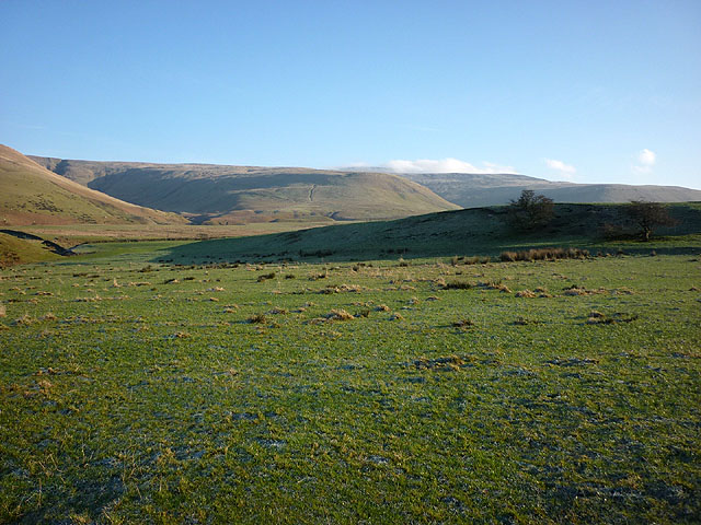
The forest is situated on a gently sloping bank, hence its name, which offers visitors breathtaking views of the surrounding countryside. It is home to a variety of wildlife, including deer, squirrels, and a wide array of bird species, making it a haven for birdwatchers and wildlife photographers.
Bank Wood is well-maintained and features a network of well-marked trails, allowing visitors to explore and immerse themselves in the natural beauty of the surroundings. These trails cater to different levels of difficulty, accommodating both casual strollers and more avid hikers. The forest also includes picnic areas, providing a great spot for families and friends to gather and enjoy a meal amidst the peaceful ambiance.
In addition to its natural beauty, Bank Wood holds historical significance as well. It is believed that the forest has been in existence for several centuries, with evidence of human activity dating back to ancient times. This rich history adds an extra layer of fascination for those interested in delving into the area's past.
Overall, Bank Wood in Cumberland is a captivating and enchanting destination that offers visitors a chance to reconnect with nature, enjoy scenic views, and explore a slice of England's history.
If you have any feedback on the listing, please let us know in the comments section below.
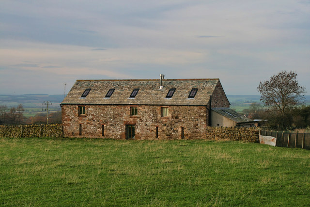
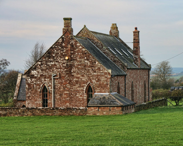
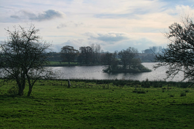
Bank Wood Images
Images are sourced within 2km of 54.695031/-2.5582699 or Grid Reference NY6433. Thanks to Geograph Open Source API. All images are credited.


Bank Wood is located at Grid Ref: NY6433 (Lat: 54.695031, Lng: -2.5582699)
Administrative County: Cumbria
District: Eden
Police Authority: Cumbria
What 3 Words
///umbrella.shapeless.templates. Near Penrith, Cumbria
Nearby Locations
Related Wikis

Kirkland, Culgaith
Kirkland is a village in the Eden district of the English county of Cumbria. It is in the historic county of Cumberland. There is a fell called Kirkland...

Ousby
Ousby is a village and civil parish in Eden district, in the English county of Cumbria. It is a Thankful Village, one of 52 parishes in England and Wales...

Blencarn
Blencarn is a small village located in the Eden District of Cumbria, England. The village is situated at the foot of the Pennines. In Blencarn there is...

Skirwith
Skirwith is a village and former civil parish, now in the parish of Culgaith, in the Eden district, in the county of Cumbria, England. In 1931 the parish...

Skirwith Abbey
Skirwith Abbey is a country house in Skirwith, Cumbria, England. The House is a two-storey house of five by three bays, built by Thomas Addison, mason...

Milburn, Cumbria
Milburn is a small village and civil parish in the Eden district of Cumbria, England. It is located on the northern side of the Eden Valley, about 9 miles...

Cross Fell
Cross Fell is the highest mountain in the Pennines of Northern England and the highest point in England outside the Lake District. It is located in the...

Melmerby, Cumbria
Melmerby is a village and civil parish in the Eden district, in the county of Cumbria, England. It is a small village with a population of around 200....
Nearby Amenities
Located within 500m of 54.695031,-2.5582699Have you been to Bank Wood?
Leave your review of Bank Wood below (or comments, questions and feedback).