Aspull Common

Wood, Forest in Lancashire

England

Aspull Common

Sandy Lane near Lowton Common
Sandy Lane near Lowton Common Credit: Steven Brown

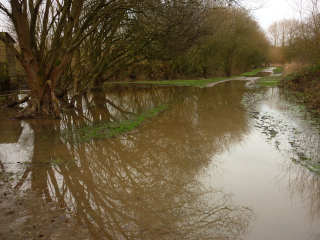
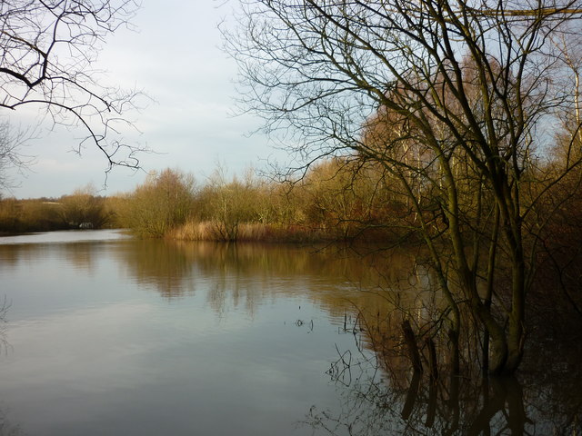
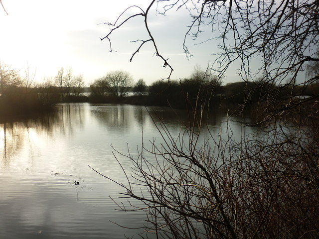
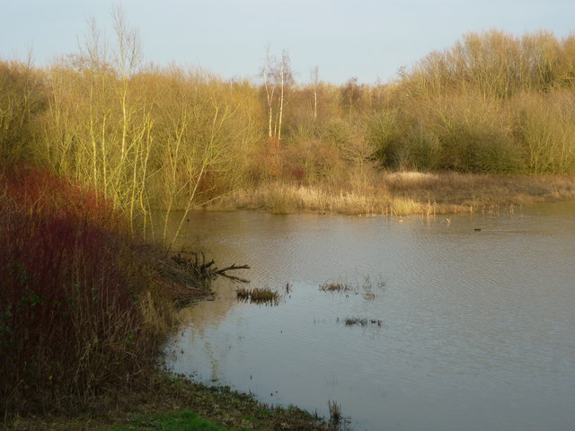
Aspull Common, located in Lancashire, England, is a picturesque wood and forest area that covers approximately 150 acres of land. The common is situated in the village of Aspull, which lies within the Metropolitan Borough of Wigan. Aspull Common is known for its natural beauty and has become a popular spot for locals and tourists alike.

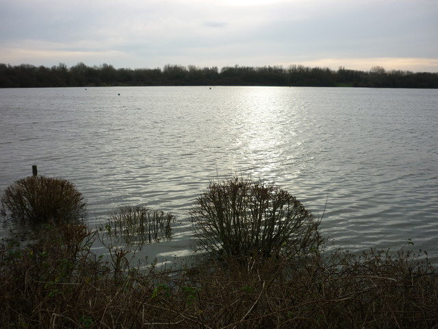
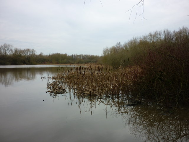
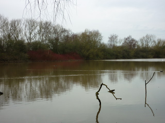
The common is predominantly made up of woodland, consisting of a variety of tree species, including oak, birch, and beech. These trees provide a rich habitat for a diverse range of flora and fauna, making Aspull Common a haven for wildlife enthusiasts and nature lovers. Visitors can expect to encounter an array of bird species, small mammals, and insects as they explore the area.

Walking trails and footpaths crisscross the common, providing visitors with the opportunity to take in the stunning scenery and enjoy a peaceful stroll through the woods. The trails are well-maintained and suitable for all ages and abilities. Additionally, there are designated picnic areas and benches scattered throughout the common, offering visitors the chance to relax and soak up the tranquil surroundings.

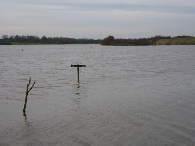
Aspull Common is also home to a small pond, which adds to the charm of the area. The pond attracts various water-loving creatures, such as ducks and frogs, and is a popular spot for photography enthusiasts.

Overall, Aspull Common in Lancashire is a delightful woodland and forest area that offers a serene escape from the hustle and bustle of everyday life. With its diverse wildlife, picturesque walking trails, and peaceful ambiance, it is a destination that appeals to both nature enthusiasts and those seeking a tranquil retreat in the heart of Lancashire.

If you have any feedback on the listing, please let us know in the comments section below.

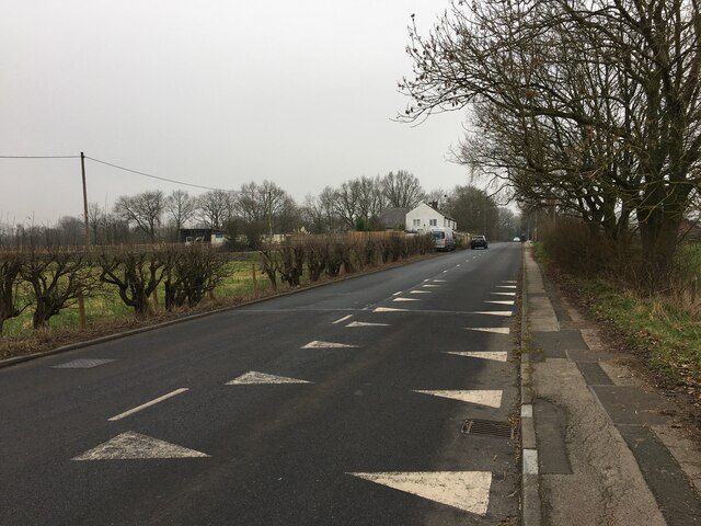
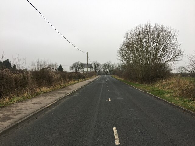
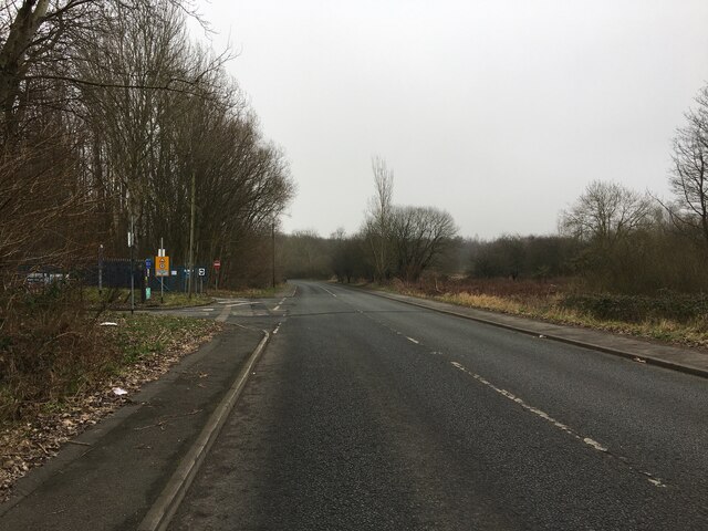
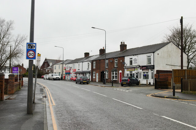
Aspull Common Images

Images are sourced within 2km of 53.482959/-2.5422545 or Grid Reference SJ6498. Thanks to Geograph Open Source API. All images are credited.
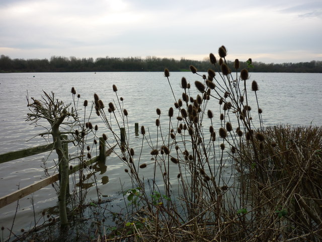
Sandy Lane near Lowton Common
Byrom Lane
Byrom Lane
Slag Lane
Slag Lane
Newton Road, Lowton Common
Mayfield Drive
Mayfield Drive
Moss Industrial Estate
Milldale Road
Milldale Road
Aspull Common (1) Taken from beside Horrocks Hide, adjacent to the car park at Pennington Flash, Leigh, Greater Manchester, I am looking south west to Aspull Common.
Aspull Common (1)
Taken from beside Horrocks Hide, adjacent to the car park at Pennington Flash, Leigh, Greater Manchester, I am looking south west to Aspull Common.
Mossley Hall Taken from Horrocks Hide, adjacent to the car park at Pennington Flash Country Park, Leigh, Greater Manchester, I am looking west towards Mossley Hall.
Mossley Hall
Taken from Horrocks Hide, adjacent to the car park at Pennington Flash Country Park, Leigh, Greater Manchester, I am looking west towards Mossley Hall.
Coots at the first hide, Pennington Flash Taken from Horrocks Hide, adjacent to the car park at Pennington Flash Country Park, Leigh, Greater Manchester, I am on the north end of the hide watching coot looking for lunch.
Coots at the first hide, Pennington Flash
Taken from Horrocks Hide, adjacent to the car park at Pennington Flash Country Park, Leigh, Greater Manchester, I am on the north end of the hide watching coot looking for lunch.
Aspull Common (2) Taken from Horrocks Hide, adjacent to the car park at Pennington Flash Country Park, Leigh, Greater Manchester, I am looking south west across the main flash towards Aspull Common.
Aspull Common (2)
Taken from Horrocks Hide, adjacent to the car park at Pennington Flash Country Park, Leigh, Greater Manchester, I am looking south west across the main flash towards Aspull Common.
Pengy's pond, Pennington Flash (1) Taken from Pengy's Hide, Pennington Flash Country Park, Leigh, Greater Manchester, I am looking northwards to the end of the pond.
Pengy's pond, Pennington Flash (1)
Taken from Pengy's Hide, Pennington Flash Country Park, Leigh, Greater Manchester, I am looking northwards to the end of the pond.
Pengy's pond, Pennington Flash (2) Taken from Pengy's Hide, Pennington Flash Country Park, Leigh, Greater Manchester, I am looking west across the pond to the dogwood shrubs, a favoured kingfisher haunt.
Pengy's pond, Pennington Flash (2)
Taken from Pengy's Hide, Pennington Flash Country Park, Leigh, Greater Manchester, I am looking west across the pond to the dogwood shrubs, a favoured kingfisher haunt.
At Teal Hide, Pennington Flash Taken at Teal Hide (just off to the left of shot), rendered inaccessible on this day by the recent winter storms, Pennington Flash Country Park, Leigh, Greater Manchester.
At Teal Hide, Pennington Flash
Taken at Teal Hide (just off to the left of shot), rendered inaccessible on this day by the recent winter storms, Pennington Flash Country Park, Leigh, Greater Manchester.
Kidney Pond from opp. Tom Edmondson's Hide (1) I am on the path running past Tom Edmondson's Hide, Pennington Flash Country Park, Leigh, Greater Manchester, I am looking west across Kidney Pond towards the northern edge of the main flash.
Kidney Pond from opp. Tom Edmondson's Hide (1)
I am on the path running past Tom Edmondson's Hide, Pennington Flash Country Park, Leigh, Greater Manchester, I am looking west across Kidney Pond towards the northern edge of the main flash.
Kidney Pond from opp. Tom Edmondson's Hide (2) I am on the path running past Tom Edmondson's Hide, Pennington Flash Country Park, Leigh, Greater Manchester, I am looking south west across Kidney Pond towards the centre of the main flash.
Kidney Pond from opp. Tom Edmondson's Hide (2)
I am on the path running past Tom Edmondson's Hide, Pennington Flash Country Park, Leigh, Greater Manchester, I am looking south west across Kidney Pond towards the centre of the main flash.
From Tom Edmondson's Hide (1) Taken from Tom Edmondson's Hide, Pennington Flash Country Park, Leigh, Greater Manchester, and looking south east. [Heron spotted off to the left of shot.]
From Tom Edmondson's Hide (1)
Taken from Tom Edmondson's Hide, Pennington Flash Country Park, Leigh, Greater Manchester, and looking south east. [Heron spotted off to the left of shot.]
From Tom Edmondson's Hide (2) Taken from Tom Edmondson's Hide, Pennington Flash Country Park, Leigh, Greater Manchester, and looking north east.
From Tom Edmondson's Hide (2)
Taken from Tom Edmondson's Hide, Pennington Flash Country Park, Leigh, Greater Manchester, and looking north east.
Show me another place!

Aspull Common is located at Grid Ref: SJ6498 (Lat: 53.482959, Lng: -2.5422545)

Unitary Authority: Wigan

Police Authority: Greater Manchester

What 3 Words

///archduke.followers.bunch. Near Leigh, Manchester

Related Wikis

Pennington Flash Country Park

Pennington Flash Country Park is a 200-hectare (490-acre) country park located between Lowton and Leigh in Greater Manchester, England. == History == A...

Pennington railway station

Pennington railway station served Pennington, Leigh, Greater Manchester, England on the Bolton and Leigh Railway. It was situated within the historic county...

St Mary's Church, Lowton

St Mary's Church is an Anglican parish church in Newton Road, Lowton, Wigan, Greater Manchester, England. It is in the deanery of Winwick, the archdeaconry...

Leigh Sports Village

Leigh Sports Village is a multi-use sports, retail and housing development in Leigh, Greater Manchester, England. The centrepiece of the development is...

Nearby Amenities

Located within 500m of 53.482959,-2.5422545
Pennington Flash Country Park
Leisure: park
Operator: Wigan Council
Operator Type: public
Source: survey;local knowledge
Website: https://www.wigan.gov.uk/Resident/Leisure/Greenheart/Pennington-Flash.aspx
Lat/Long: 53.4854615/-2.5361596
Barrier: yes
Lat/Long: 53.4814453/-2.5382412
Turning Circle
Lat/Long: 53.480484/-2.539362
Place Of Worship
Bethany
Religion: christian
Lat/Long: 53.4803261/-2.5382102
Bus Stop
St Helens Road/Pennington Flash
Bus: yes
Naptan AtcoCode: 1800WK37121
Naptan Bearing: SW
Naptan CommonName: St Helens Road/Pennington Flash
Naptan Indicator: Bethany Church
Naptan Landmark: BETHANY CHURCH
Naptan NaptanCode: mantdgjw
Naptan PlusbusZoneRef: MNCRPIC
Naptan ShortCommonName: Pennington Flash
Naptan Street: ST HELENS ROAD
Naptan Verified: no
Network: TfGM
Public Transport: platform
Source: naptan_import
Lat/Long: 53.480409/-2.538554
Bus Stop
St Helens Road/Robin Hood
Bus: yes
Naptan AtcoCode: 1800WK37131
Naptan Bearing: NE
Naptan CommonName: St Helens Road/Robin Hood
Naptan Indicator: Os House 294
Naptan Landmark: HOUSE 294
Naptan NaptanCode: mantdgma
Naptan PlusbusZoneRef: MNCRPIC
Naptan ShortCommonName: Robin Hood
Naptan Street: ST HELENS ROAD
Naptan Verified: no
Network: TfGM
Public Transport: platform
Shelter: yes
Source: naptan_import
Lat/Long: 53.4799078/-2.5394458
Traffic Signals
Traffic Signals: signal
Traffic Signals Direction: forward
Lat/Long: 53.4828382/-2.5348438
Give Way
Lat/Long: 53.4828883/-2.535065
Crossing
Crossing: uncontrolled
Crossing Markings: zebra
Lat/Long: 53.4817173/-2.5358291
Traffic Signals
Source: survey
Traffic Signals Direction: forward
Lat/Long: 53.4830127/-2.535078
Traffic Signals
Source: survey
Traffic Signals Direction: forward
Lat/Long: 53.4829205/-2.5347228
Crossing
Button Operated: yes
Crossing: traffic_signals
Crossing Island: no
Crossing Markings: dots
Crossing Ref: toucan
Tactile Paving: yes
Lat/Long: 53.4828676/-2.5349017
Crossing
Button Operated: yes
Crossing: traffic_signals
Crossing Island: no
Crossing Markings: dots
Crossing Ref: toucan
Tactile Paving: yes
Lat/Long: 53.4830447/-2.5350152
Crossing
Button Operated: yes
Crossing: traffic_signals
Crossing Island: no
Crossing Markings: dots
Crossing Ref: toucan
Tactile Paving: yes
Lat/Long: 53.4829861/-2.5349192
Crossing
Button Operated: yes
Crossing: traffic_signals
Crossing Island: no
Crossing Markings: dots
Crossing Ref: toucan
Tactile Paving: yes
Lat/Long: 53.4829555/-2.5347173
Addr City: Leigh
Addr Housenumber: 252
Addr Street: St Helens Road
Lat/Long: 53.4807634/-2.538455
Addr City: Leigh
Addr Housenumber: 272
Addr Street: St Helens Road
Lat/Long: 53.4804392/-2.5389389
Post Box
Operator: Royal Mail
Operator Wikidata: Q638098
Post Box Type: lamp
Source: survey
Lat/Long: 53.4803703/-2.5388854
Addr City: Leigh
Addr Housenumber: 327
Addr Street: St Helens Road
Lat/Long: 53.478816/-2.5397868
Waste Basket
Source: survey
Lat/Long: 53.4805381/-2.5383645
Addr City: Leigh
Addr Housenumber: 308
Addr Street: St Helens Road
Lat/Long: 53.4796778/-2.5397663
Waste Basket
Lat/Long: 53.4810743/-2.5380275
Addr City: Leigh
Addr Housenumber: 278
Addr Street: St Helens Road
Lat/Long: 53.4802689/-2.5391933
Generator Method: photovoltaic
Generator Output Electricity: yes
Generator Source: solar
Generator Type: solar_photovoltaic_panel
Location: roof
Power: generator
Source: survey
Lat/Long: 53.4806318/-2.539433
Fast Food
Yummy House
Addr City: Leigh
Addr Housenumber: 290
Addr Street: St Helens Road
Cuisine: chinese
Outdoor Seating: no
Source: survey
Lat/Long: 53.4800386/-2.5395118
Addr City: Leigh
Addr Housenumber: 350
Addr Street: St Helens Road
Lat/Long: 53.4786201/-2.54041
Tourism: picnic_site
Lat/Long: 53.4860621/-2.5369617
Bench
Backrest: yes
Lat/Long: 53.4862948/-2.5375469
Waste Basket
Lat/Long: 53.4864048/-2.5374305
Waste Basket
Colour: Black
Operator: Wigan Council
Source: survey
Lat/Long: 53.4823117/-2.5382107
Traffic Signals
Traffic Signals: emergency
Traffic Signals Direction: forward
Lat/Long: 53.4819706/-2.5366169
Traffic Signals
Traffic Signals: emergency
Traffic Signals Direction: backward
Lat/Long: 53.4816296/-2.5371003
Defibrillator
Access: yes
Defibrillator Location: Left of main entrance door to Leigh Community Fire Station
Emergency: defibrillator
Indoor: no
Lat/Long: 53.4818419/-2.5363793
Entrance: main
Lat/Long: 53.4818293/-2.5363979
Information: guidepost
Tourism: information
Lat/Long: 53.4820138/-2.5362798
Flag Name: Greater Manchester Fire and Rescue Service
Flag Type: governmental
Flag Wikidata: Q5600639
Flag Wikipedia: en:Greater Manchester Fire and Rescue Service
Man Made: flagpole
Was Country: GB;UA
Lat/Long: 53.4815731/-2.5367647
The data included in this document is from www.openstreetmap.org. The data is made available under ODbL.

Have you been to Aspull Common?

Leave your review of Aspull Common below (or comments, questions and feedback).