Leweston Wood

Wood, Forest in Dorset

England

Leweston Wood

The Holm Bushes
The Holm Bushes Credit: Richard Webb

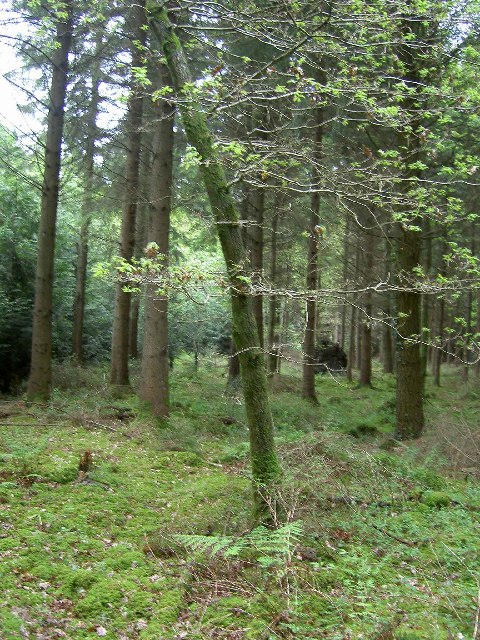
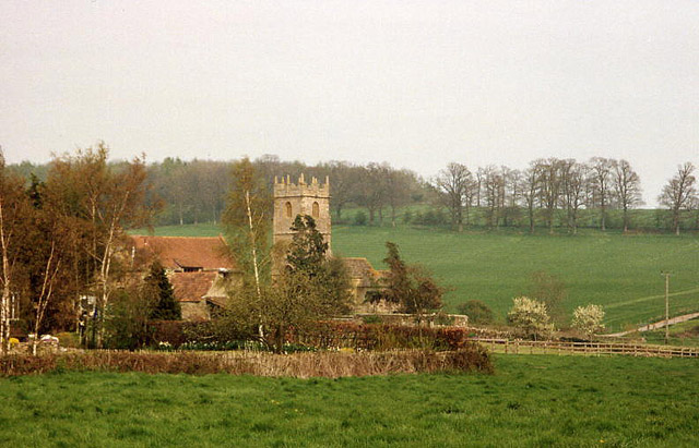
Leweston Wood is a picturesque forest situated in the county of Dorset, England. Covering an area of approximately 50 acres, it is a captivating natural haven for wildlife and nature enthusiasts alike. The wood is located near the village of Sherborne, offering a serene and tranquil escape from the hustle and bustle of everyday life.

Leweston Wood is predominantly composed of mature broadleaf trees, including oak, beech, and ash, which create a dense and rich canopy overhead. These majestic trees provide a habitat for a diverse range of flora and fauna, making it an ideal destination for birdwatchers and botanists. Bluebells and wild garlic carpet the forest floor during the spring months, adding a splash of vibrant color to the surroundings.

The wood is intersected by a network of well-maintained paths and trails, making it easily accessible for visitors. These paths meander through the woodland, offering scenic views and opportunities for leisurely walks or invigorating hikes. Additionally, there are several designated picnic areas and benches scattered throughout the wood, providing a perfect spot for visitors to relax and enjoy the peaceful ambiance.

Leweston Wood is managed by a local conservation organization, ensuring the preservation of its natural beauty and ecological importance. The wood is open to the public year-round, with no admission fee, making it an affordable and enjoyable destination for nature enthusiasts and families.

If you have any feedback on the listing, please let us know in the comments section below.

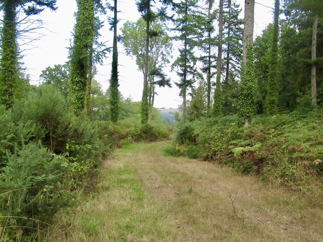
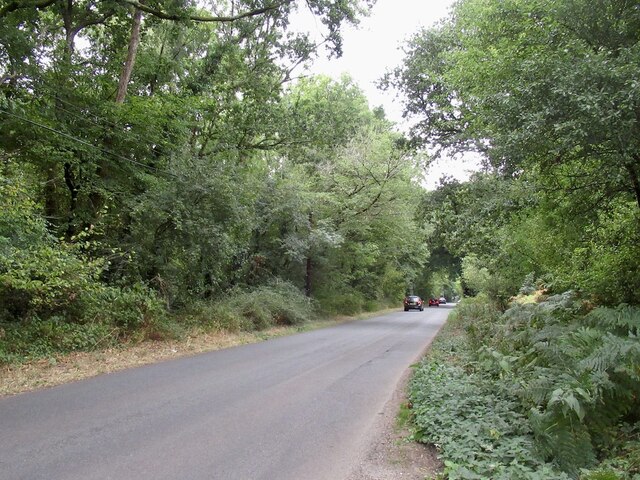
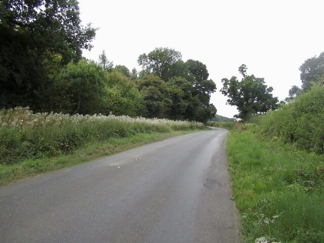
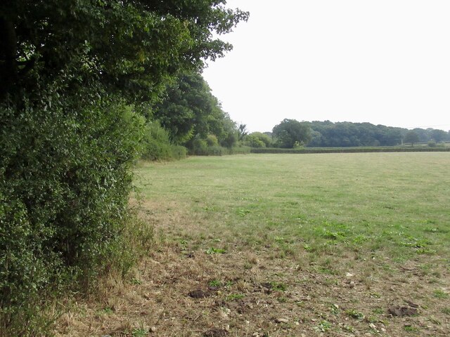
Leweston Wood Images

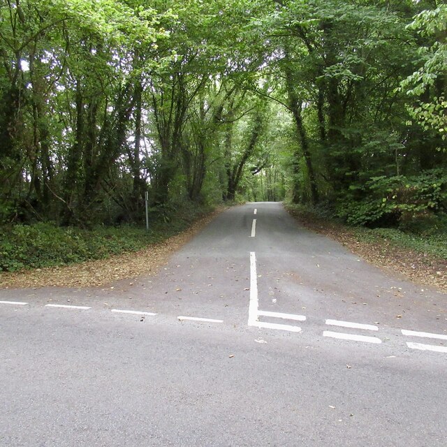
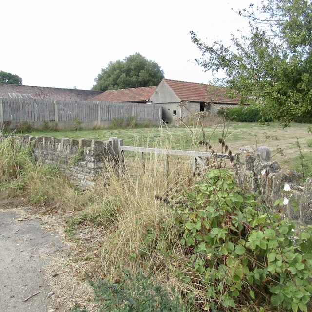
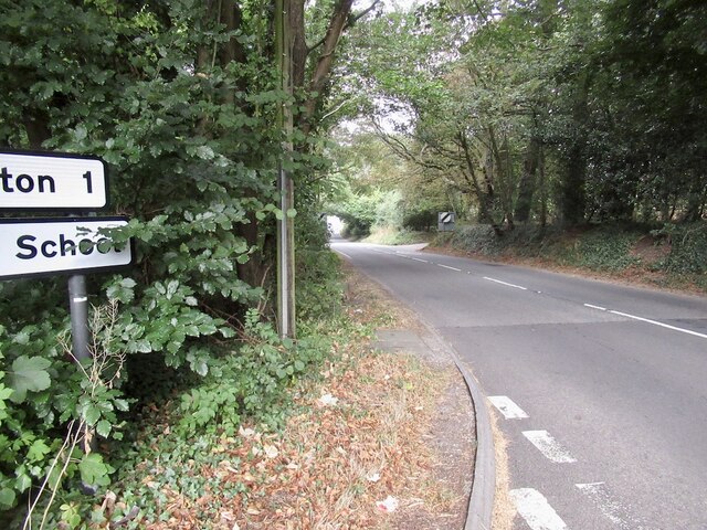
Images are sourced within 2km of 50.90599/-2.5193678 or Grid Reference ST6311. Thanks to Geograph Open Source API. All images are credited.

The Holm Bushes
The Holm Bushes
Road to Leigh, The Holm Bushes
Stockbridge
Stockbridge
Field, Stockbridge
Field, Stockbridge
Signpost, Dyke Head Plantation It has deteriorated since this: <a href="https://www.geograph.org.uk/photo/1192471">ST6411 : Signpost near Lillington</a> was taken in 2009.
Signpost, Dyke Head Plantation
It has deteriorated since this: ST6411 : Signpost near Lillington was taken in 2009.
Falling a fraction The signpost at Dyke Hill Plantation is in not so good condition as it was in 2009 <a href="https://www.geograph.org.uk/photo/1192471">ST6411 : Signpost near Lillington</a>
Falling a fraction
The signpost at Dyke Hill Plantation is in not so good condition as it was in 2009 ST6411 : Signpost near Lillington
Wait until they find out about wind farms I did not realise that photovoltaics were upsetting. A few weeks later this became a political issue under the short-lived premiership of Ms Truss (look her up*).

They should be grateful that they have so much sun.


*In the time between taking this picture and submitting it, we had lost a monarch and had three Prime Ministers.
Wait until they find out about wind farms
I did not realise that photovoltaics were upsetting. A few weeks later this became a political issue under the short-lived premiership of Ms Truss (look her up*). They should be grateful that they have so much sun. *In the time between taking this picture and submitting it, we had lost a monarch and had three Prime Ministers.
Road, Leweston
Road, Leweston
Dyke Head Plantation and Bradford Lane
Farm buildings, Little Burton
A352 north of Longburton
Fields, Windmill Hill Forage maize in the background.
Fields, Windmill Hill
Forage maize in the background.
Path, Honeycombe Wood
Managed woodland near Seven Ash Common
Lillington: church and hamlet The centre of a small parish south of Sherborne; Lower Farm and the church are the main features here. The parish is bordered by the even smaller Leweston, to the east, on the hill
Lillington: church and hamlet
The centre of a small parish south of Sherborne; Lower Farm and the church are the main features here. The parish is bordered by the even smaller Leweston, to the east, on the hill
Road into Longburton  showing village name sign and speed limit
Road into Longburton showing village name sign and speed limit
Chapel at Longburton
Longburton traffic lights on the narrow bend The road goes around this lovely house and is so narrow that it is only one lane wide and traffic lights have had to be installed.
Longburton traffic lights on the narrow bend
The road goes around this lovely house and is so narrow that it is only one lane wide and traffic lights have had to be installed.
Show me another place!

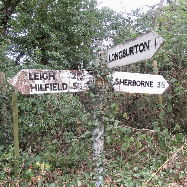
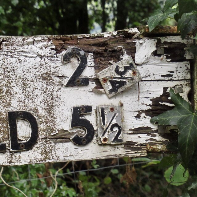
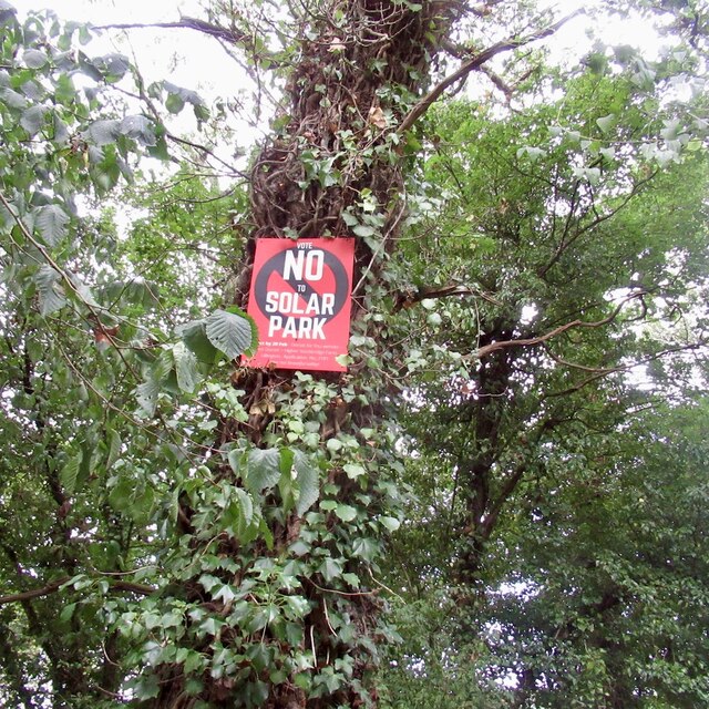
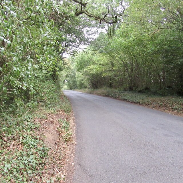
Leweston Wood is located at Grid Ref: ST6311 (Lat: 50.90599, Lng: -2.5193678)

Unitary Authority: Dorset

Police Authority: Dorset

What 3 Words

///sparkles.beamed.spoil. Near Sherborne, Dorset

Related Wikis

Leweston School

Leweston School is an independent day and boarding school near Sherborne in Dorset, England. The school is co-educational in the Nursery and Preparatory...

Lillington, Dorset

Lillington is a hamlet and civil parish in north west Dorset, England, situated 3 miles (4.8 km) south of Sherborne. Dorset County Council estimate that...

Longburton

Longburton or Long Burton is a village in Dorset, England, three miles (5 km) south of Sherborne. It is sited on a narrow outcrop of Cornbrash limestone...

Folke Wood

Folke Wood is a wood near Folke in Dorset, England. It was planted by the Woodland Trust in 1985. It consists of native broadleaved trees as well as apple...

Nearby Amenities

Located within 500m of 50.90599,-2.5193678
Power: pole
Source: bing
Lat/Long: 50.9018268/-2.5216198
Power: pole
Source: bing
Lat/Long: 50.9019317/-2.5197852
Poles: bipole
Power: pole
Source: bing
Lat/Long: 50.9020382/-2.5179639
The data included in this document is from www.openstreetmap.org. The data is made available under ODbL.

Have you been to Leweston Wood?

Leave your review of Leweston Wood below (or comments, questions and feedback).