Buckbanks Wood
Wood, Forest in Lancashire Ribble Valley
England
Buckbanks Wood
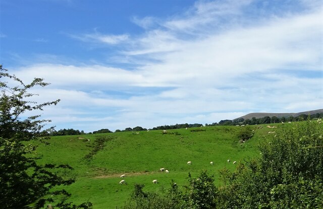
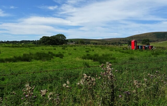
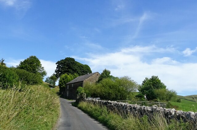
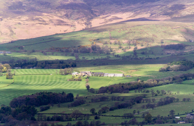
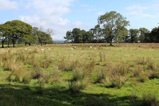
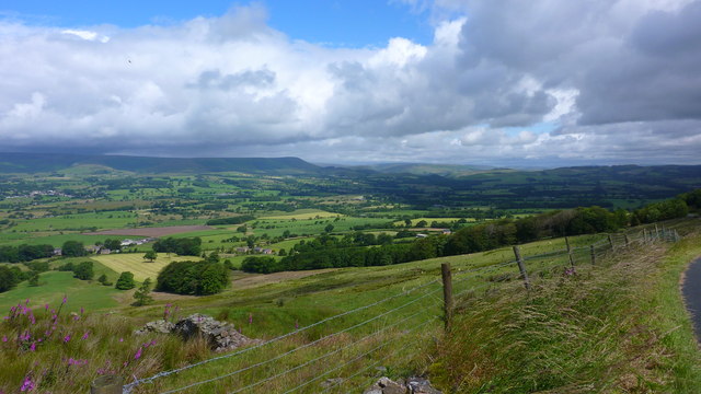
Buckbanks Wood, located in Lancashire, is a picturesque woodland area renowned for its natural beauty and diverse ecosystem. Spanning an area of approximately 200 acres, the wood is characterized by a mix of broadleaf and coniferous trees, creating a rich and vibrant landscape.
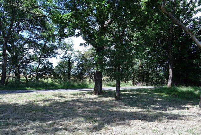
The wood boasts a variety of tree species, including oak, beech, birch, and pine, which provide a lush canopy and shelter for numerous wildlife species. The forest floor is adorned with a carpet of ferns, wildflowers, and mosses, contributing to the enchanting ambiance of the woodland.
Nature enthusiasts flock to Buckbanks Wood to observe its abundant wildlife. The area is home to a plethora of bird species, such as woodpeckers, owls, and finches, making it a popular destination for birdwatching. Small mammals like squirrels, badgers, and foxes can also be spotted, adding to the charm of the wood.
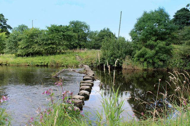
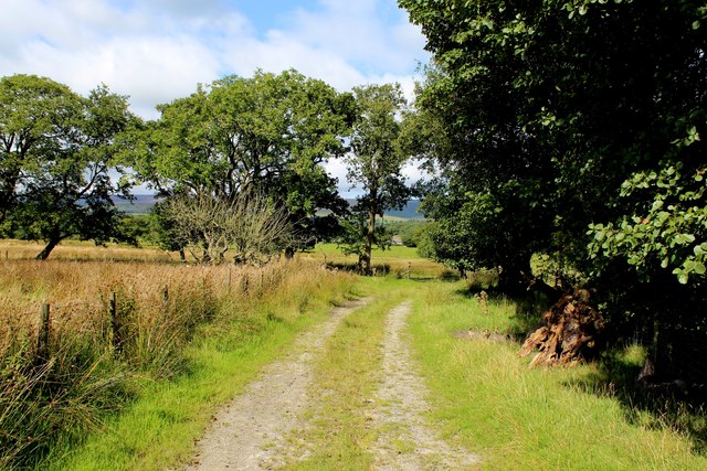
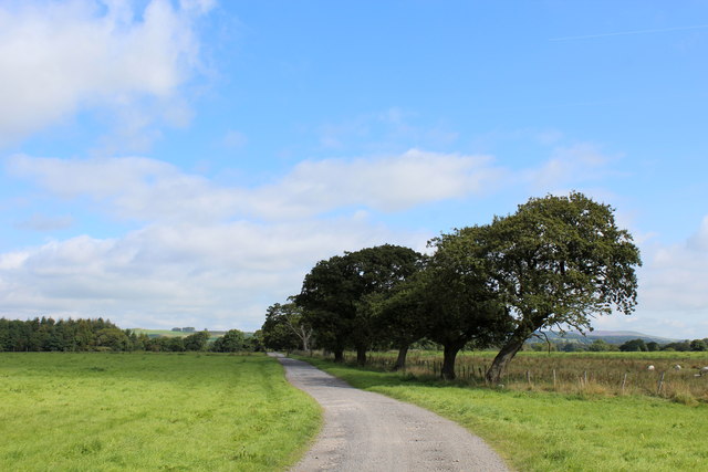
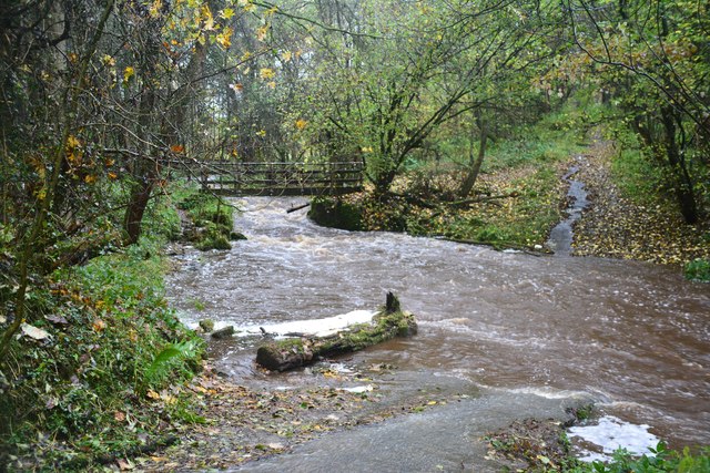
Visitors are welcome to explore the wood through a network of well-maintained trails and footpaths, which wind through the forest, providing opportunities for leisurely walks, hiking, and cycling. The wood is also a favored spot for picnicking, photography, and nature study.
Buckbanks Wood is managed by the Lancashire Wildlife Trust, ensuring the preservation of its natural habitat and promoting conservation initiatives. The trust organizes educational programs and guided walks, allowing visitors to learn about the wood's unique ecosystem and the importance of biodiversity.
Overall, Buckbanks Wood offers a serene escape into nature, providing an idyllic setting for relaxation, exploration, and appreciation of Lancashire's natural heritage.
If you have any feedback on the listing, please let us know in the comments section below.
Buckbanks Wood Images
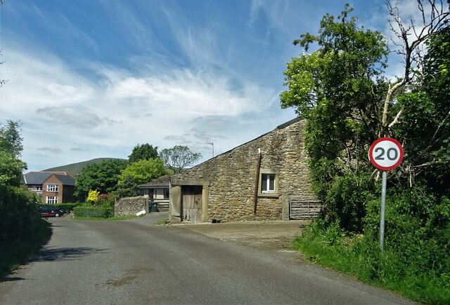
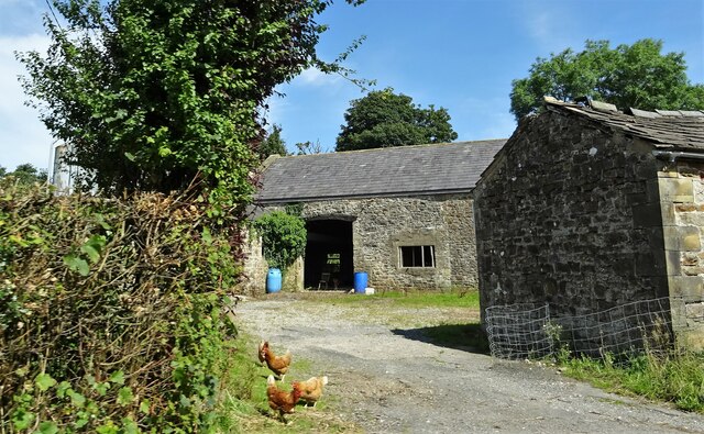
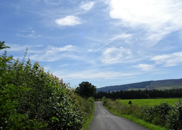
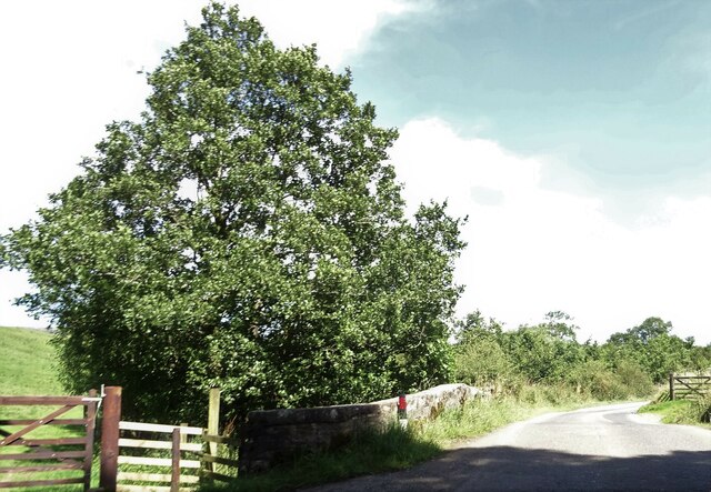
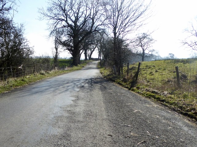
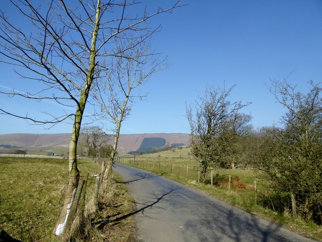
Images are sourced within 2km of 53.899187/-2.5558349 or Grid Reference SD6344. Thanks to Geograph Open Source API. All images are credited.
Buckbanks Wood is located at Grid Ref: SD6344 (Lat: 53.899187, Lng: -2.5558349)
Administrative County: Lancashire
District: Ribble Valley
Police Authority: Lancashire
What 3 Words
///reckoned.confined.format. Near Longridge, Lancashire
Nearby Locations
Related Wikis

Bowland-with-Leagram
Bowland-with-Leagram is a civil parish in the Ribble Valley district of Lancashire, England, covering part of the Forest of Bowland. According to the census...

Chipping, Lancashire
Chipping is a village and civil parish in the borough of Ribble Valley, Lancashire, England, within the Forest of Bowland Area of Outstanding Natural Beauty...

Lower Lees Farmhouse
Lower Lees Farmhouse is a historic building in the English parish of Bowland Forest Low, Lancashire. It is Grade II listed, built in 1678, and is a sandstone...

Kirk Mill
Kirk Mill is an early example of an Arkwright-type cotton mill and a grade II listed building in Chipping, Lancashire, in Ribble Valley, to the north of...
Have you been to Buckbanks Wood?
Leave your review of Buckbanks Wood below (or comments, questions and feedback).