Old Mill Stream
Lake, Pool, Pond, Freshwater Marsh in Lancashire Ribble Valley
England
Old Mill Stream

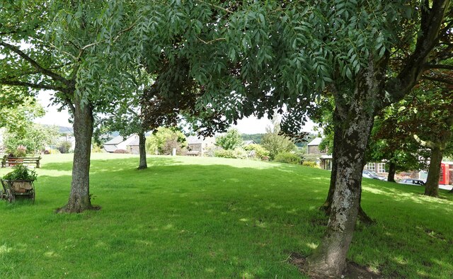
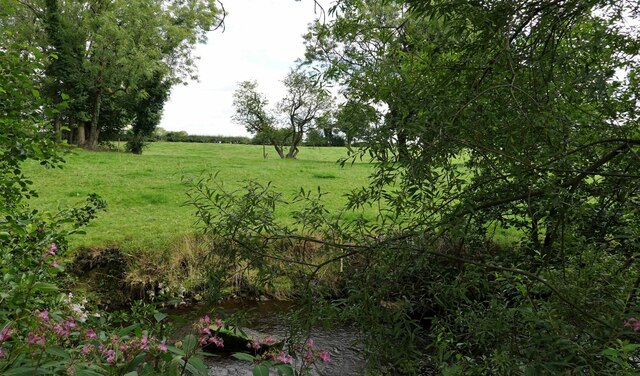
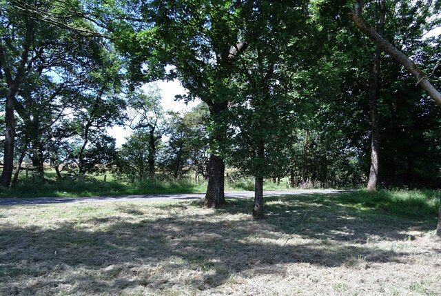
Old Mill Stream is a picturesque freshwater marsh located in Lancashire, England. Situated amidst lush greenery, this natural oasis offers a serene and tranquil environment for visitors to enjoy.
The stream itself is a gently flowing water body that winds its way through the marsh, providing a lifeline to the abundant flora and fauna that call this place home. The crystal-clear water is sourced from nearby springs, ensuring a constant supply of fresh water to sustain the ecosystem.
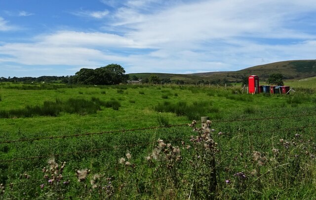
Surrounding the stream, one can find a variety of vegetation, including reeds, rushes, and water lilies. These plants not only add to the beauty of the marsh but also provide essential habitats for a diverse range of wildlife. Birdwatchers will be delighted to spot numerous species, such as herons, ducks, and kingfishers, nesting and feeding in this habitat.
The marsh is also home to a plethora of aquatic creatures, including frogs, toads, and various fish species. These inhabitants thrive in the nutrient-rich water and contribute to the delicate balance of the ecosystem.
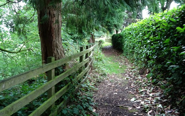
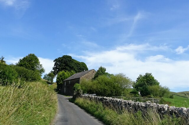
Visitors to Old Mill Stream can explore the area through well-maintained footpaths, allowing for leisurely walks and opportunities to appreciate the natural beauty that surrounds them. Additionally, several viewing platforms and bird hides have been strategically placed, offering ideal vantage points for observing the wildlife without disturbing their natural behaviors.
Old Mill Stream is a beloved destination for nature lovers and photography enthusiasts alike. Its peaceful ambiance, coupled with the diverse array of flora and fauna, makes it a must-visit location for those seeking to reconnect with nature in Lancashire.
If you have any feedback on the listing, please let us know in the comments section below.
Old Mill Stream Images
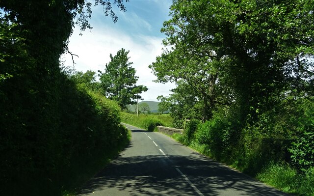
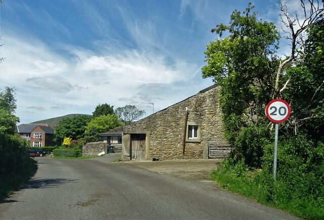
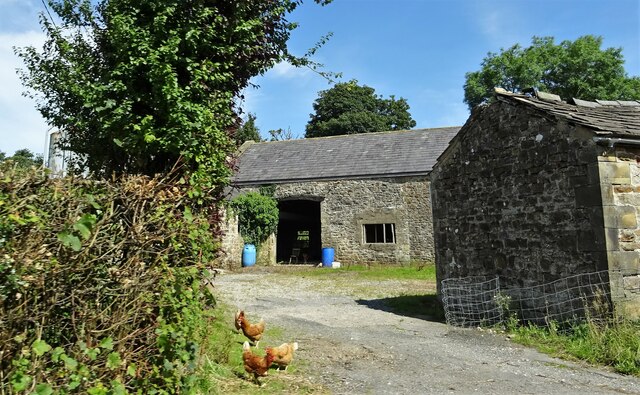
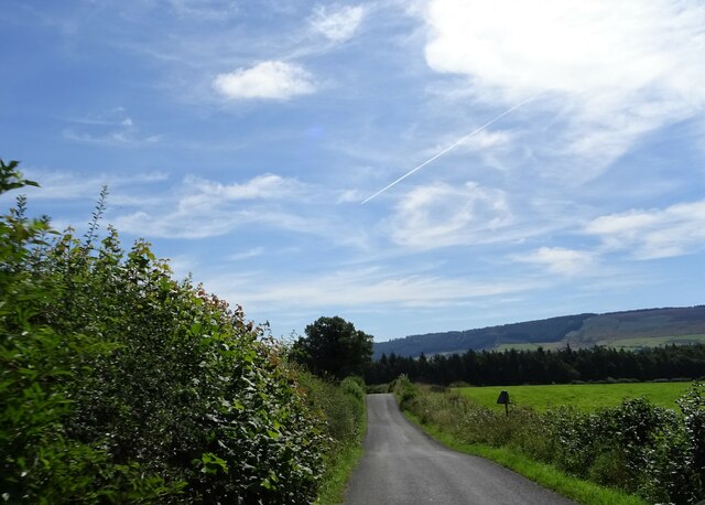
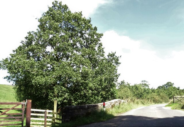
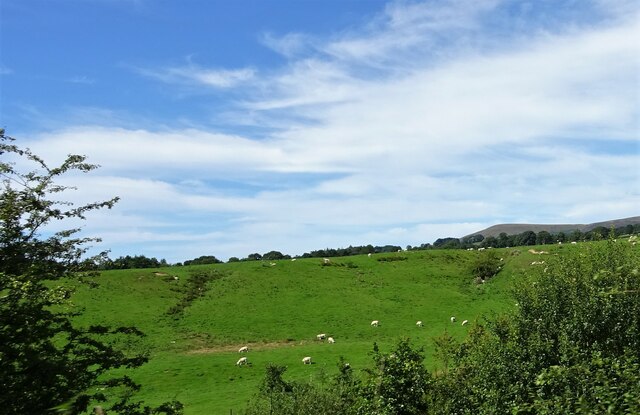
Images are sourced within 2km of 53.894598/-2.5530501 or Grid Reference SD6344. Thanks to Geograph Open Source API. All images are credited.

Old Mill Stream is located at Grid Ref: SD6344 (Lat: 53.894598, Lng: -2.5530501)
Administrative County: Lancashire
District: Ribble Valley
Police Authority: Lancashire
What 3 Words
///socialite.flamingo.tolerable. Near Longridge, Lancashire
Nearby Locations
Related Wikis

Bowland-with-Leagram
Bowland-with-Leagram is a civil parish in the Ribble Valley district of Lancashire, England, covering part of the Forest of Bowland. According to the census...

Chipping, Lancashire
Chipping is a village and civil parish in the borough of Ribble Valley, Lancashire, England, within the Forest of Bowland Area of Outstanding Natural Beauty...

Lower Lees Farmhouse
Lower Lees Farmhouse is a historic building in the English parish of Bowland Forest Low, Lancashire. It is Grade II listed, built in 1678, and is a sandstone...

River Loud
The River Loud is a river of Lancashire, England. Starting out on Parlick, the Loud meanders mainly through the parish of Chipping, tracing its course...
Have you been to Old Mill Stream?
Leave your review of Old Mill Stream below (or comments, questions and feedback).