Crowdundle Plantation
Wood, Forest in Westmorland Eden
England
Crowdundle Plantation
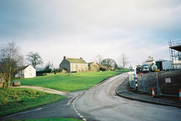
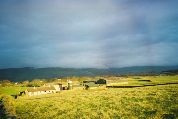
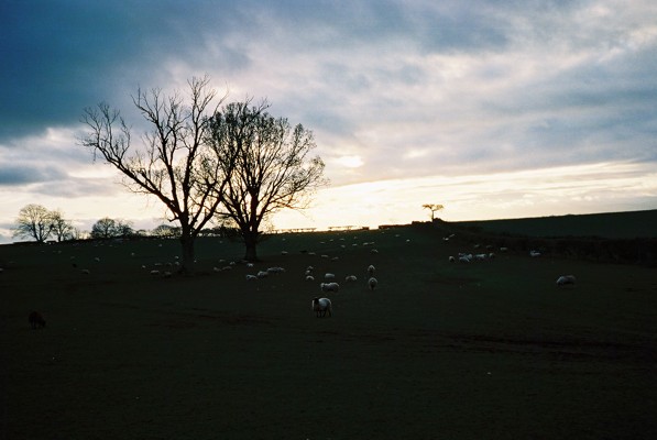
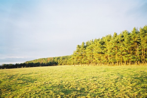
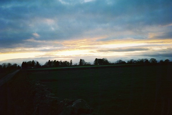
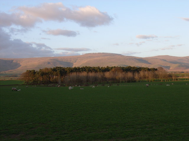
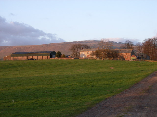
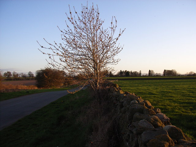
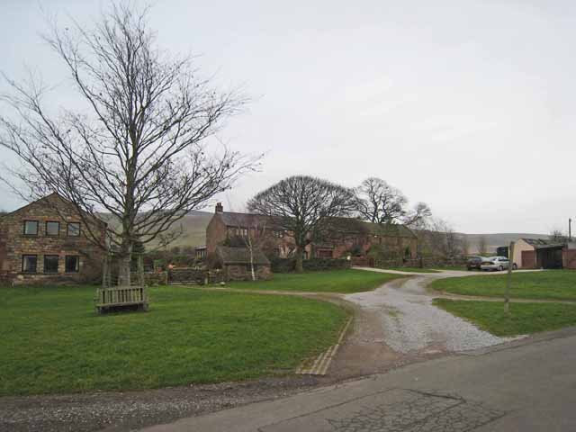
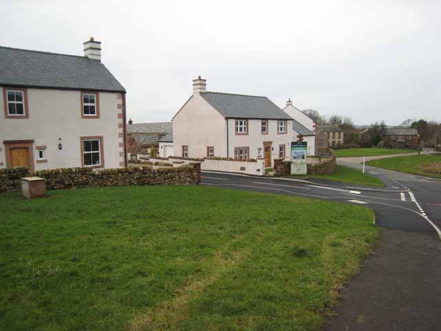
Crowdundle Plantation is a picturesque woodland located in the county of Westmorland, England. Situated in the heart of the Lake District National Park, this enchanting forest covers a vast area, providing a haven of natural beauty and tranquility for both locals and tourists alike.
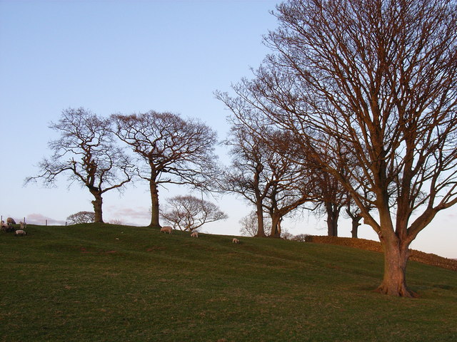
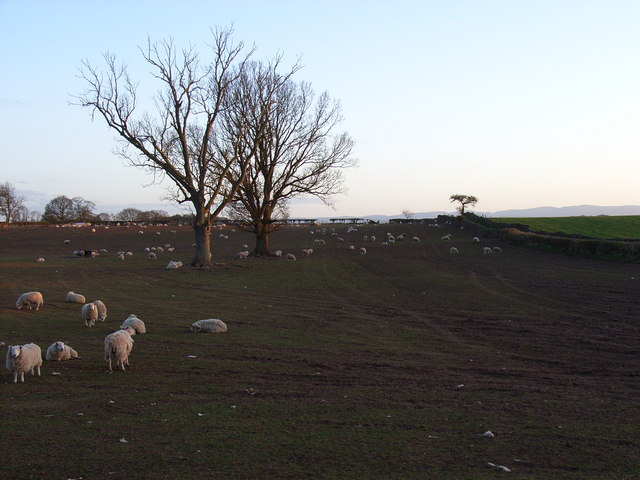
The plantation is predominantly made up of a diverse range of tree species, including oak, beech, ash, and birch. These towering giants create a dense canopy that filters sunlight and creates a cool, serene atmosphere within the woodland. The forest floor is adorned with a rich tapestry of ferns, wildflowers, and mosses, adding to the overall allure of the area.
Crowdundle Plantation is also home to a variety of wildlife, making it a haven for nature enthusiasts. Visitors may catch a glimpse of red squirrels darting between the branches, or hear the melodious songs of woodland birds such as blackbirds, thrushes, and chiffchaffs. Moreover, the plantation is known for its diverse insect population, including butterflies, dragonflies, and beetles.
The woodland is crisscrossed with well-maintained footpaths, allowing visitors to explore its natural wonders at their own pace. These trails lead through enchanting glades, over babbling brooks, and up gentle slopes, offering breathtaking views of the surrounding countryside. For those who prefer a more leisurely experience, there are picnic areas scattered throughout the plantation, providing a perfect spot to relax and enjoy the serenity of the forest.
Crowdundle Plantation is a true gem of Westmorland, offering a delightful escape from the hustle and bustle of modern life. Whether one seeks a peaceful stroll, a wildlife encounter, or simply a moment of reflection in nature, this enchanting woodland is sure to captivate all who visit.
If you have any feedback on the listing, please let us know in the comments section below.
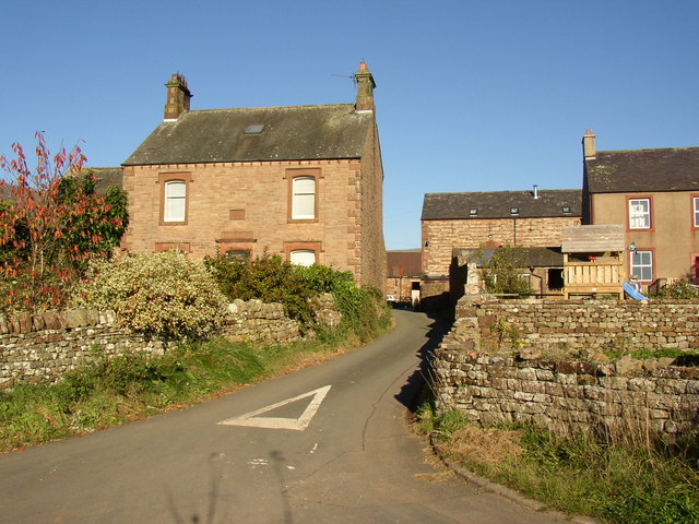
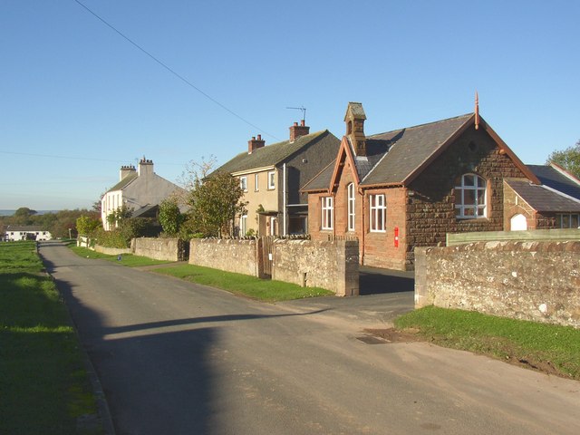
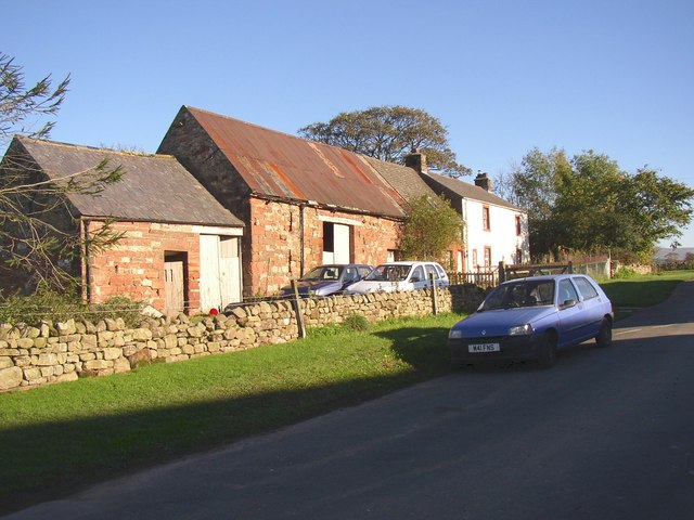
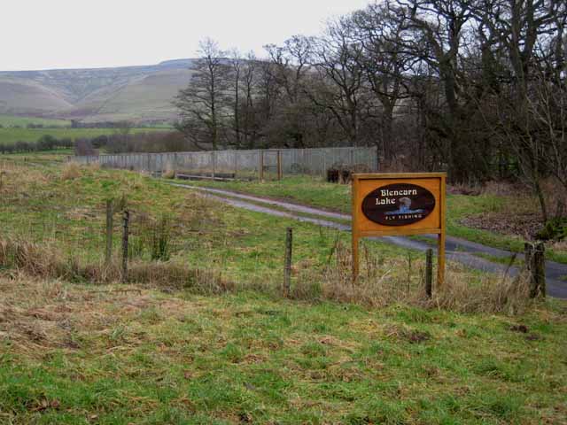
Crowdundle Plantation Images
Images are sourced within 2km of 54.660281/-2.5714966 or Grid Reference NY6329. Thanks to Geograph Open Source API. All images are credited.
Crowdundle Plantation is located at Grid Ref: NY6329 (Lat: 54.660281, Lng: -2.5714966)
Administrative County: Cumbria
District: Eden
Police Authority: Cumbria
What 3 Words
///cringes.however.purest. Near Appleby-in-Westmorland, Cumbria
Nearby Locations
Related Wikis

Newbiggin, Kirkby Thore
Newbiggin is a village and civil parish near the larger village of Temple Sowerby, in the Eden District of the English county of Cumbria. In 2001 it had...

New Biggin railway station
New Biggin or Newbiggin was a railway station which served the village of Newbiggin near Kirkby Thore in Newbiggin parish, Cumbria, England. It was located...

Blencarn
Blencarn is a small village located in the Eden District of Cumbria, England. The village is situated at the foot of the Pennines. In Blencarn there is...
Acorn Bank Garden & Watermill
Acorn Bank Garden & Watermill is a National Trust property situated just north of Temple Sowerby, near Penrith, Cumbria, England. The property is noted...

Culgaith
Culgaith is a village and civil parish in the Eden district of Cumbria, England. It is located on the River Eden, between Temple Sowerby and Langwathby...

Culgaith railway station
Culgaith railway station served the village of Culgaith in Cumberland (now in Cumbria), England. == History == The Settle-Carlisle Line is open however...

Milburn, Cumbria
Milburn is a small village and civil parish in the Eden district of Cumbria, England. It is located on the northern side of the Eden Valley, about 9 miles...

River Eamont
The River Eamont is a river in Cumbria, England and one of the major tributaries of the River Eden. The name of the river is from Old English (ēa-gemōt...
Nearby Amenities
Located within 500m of 54.660281,-2.5714966Have you been to Crowdundle Plantation?
Leave your review of Crowdundle Plantation below (or comments, questions and feedback).