The Rookery

Wood, Forest in Worcestershire Malvern Hills

England

The Rookery

Contented woolies At Lower House, the Kyre Equestrian Centre near Tenbury Wells.
Contented woolies Credit: John Phillips

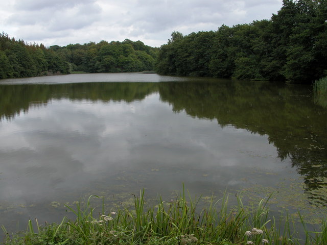
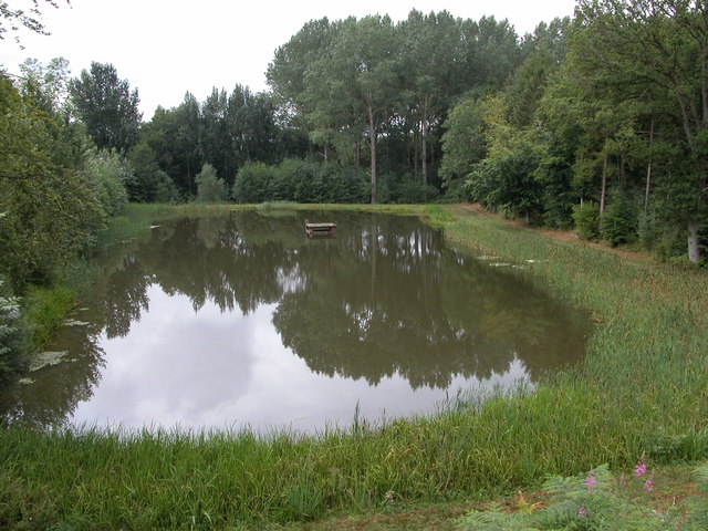
The Rookery is a picturesque woodland area located in Worcestershire, England. Nestled within the heart of the county, this enchanting forest is renowned for its natural beauty and diverse wildlife. Spanning over a vast area of approximately 500 acres, The Rookery is a haven for nature lovers and outdoor enthusiasts alike.

The woodland is predominantly composed of lush, ancient oak trees, which create a dense canopy, allowing only dappled sunlight to filter through. This unique ecosystem supports a wide variety of flora and fauna, making it a thriving habitat for numerous species. Visitors can expect to encounter an array of wildlife, including deer, foxes, rabbits, and an abundance of bird species, such as woodpeckers, owls, and rooks, which give the forest its name.

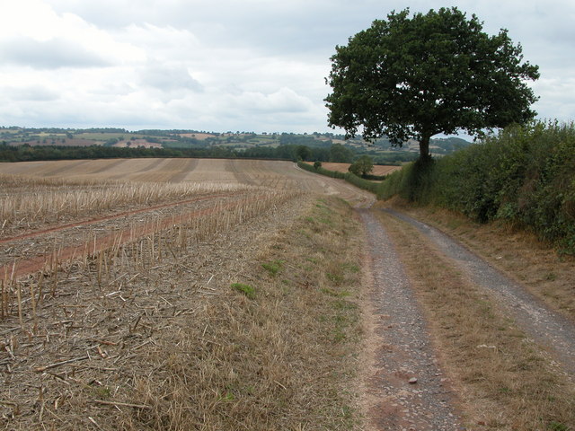
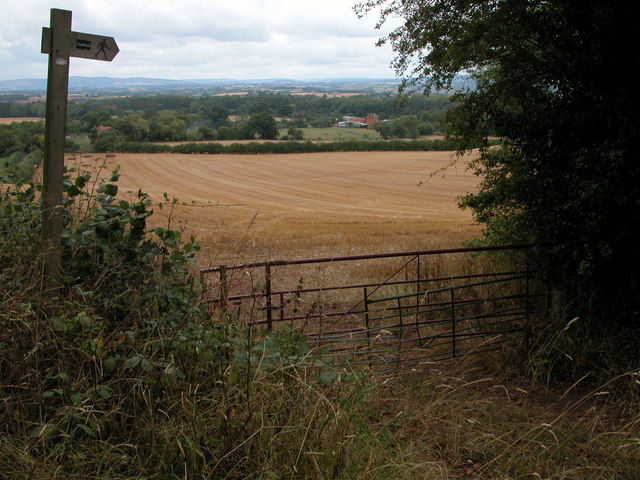
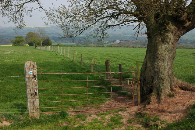
The Rookery offers a myriad of recreational activities for visitors to enjoy. There are numerous walking trails that wind through the woods, providing an opportunity to explore the forest's hidden treasures. The peaceful ambiance and stunning scenery make it an ideal location for a relaxing stroll or a picnic amidst nature.

Furthermore, The Rookery is a popular destination for birdwatching enthusiasts, who can immerse themselves in the vibrant avian life that calls this woodland home. The forest also features designated spots for camping and fishing, allowing visitors to fully immerse themselves in the tranquility of the surroundings.

Overall, The Rookery in Worcestershire is a captivating woodland retreat, offering a serene escape from the bustling city life. Its verdant landscape, rich wildlife, and range of recreational activities make it a must-visit destination for nature enthusiasts seeking solace in the embrace of nature.

If you have any feedback on the listing, please let us know in the comments section below.
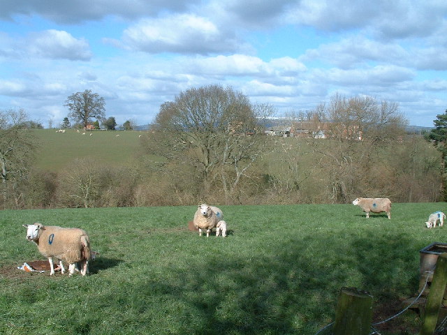
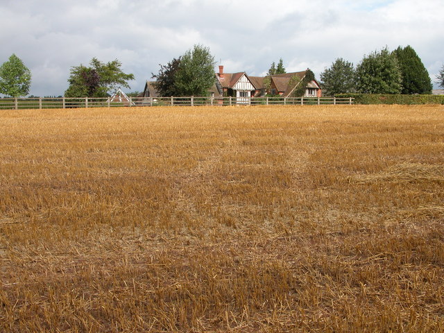
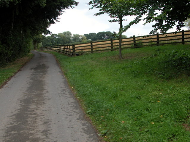
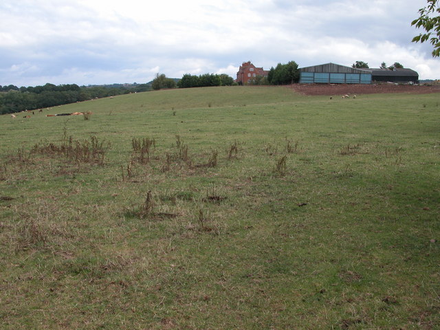
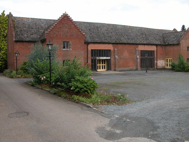
The Rookery Images

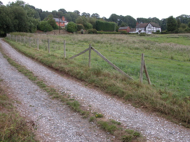
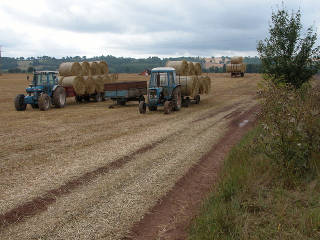
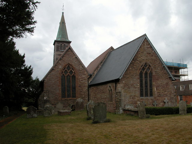
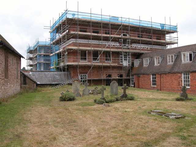
Images are sourced within 2km of 52.269883/-2.5405282 or Grid Reference SO6363. Thanks to Geograph Open Source API. All images are credited.

Contented woolies At Lower House, the Kyre Equestrian Centre near Tenbury Wells.
Contented woolies
At Lower House, the Kyre Equestrian Centre near Tenbury Wells.
Farmhouse near Stoke Bliss Stubble field and farmhouse near Stoke Bliss.
Farmhouse near Stoke Bliss
Stubble field and farmhouse near Stoke Bliss.
Driveway to Hursley Farm, Stoke Bliss
The Grove Farm
The Grove Farm
Tithe Barn, Kyre Park
Kyre Pool Kyre Pool is situated in a former deer park.
Kyre Pool
Kyre Pool is situated in a former deer park.
Farm track at SO638652 View to the west
Farm track at SO638652
View to the west
Newhouse Farm, Hanley Child View from the footpath at SO645651.
Newhouse Farm, Hanley Child
View from the footpath at SO645651.
Drive to Upper House Farm, Stoke Bliss
Tractors at The Grove Farm Tractors with trailers loaded with straw bales at The Grove Farm.
Tractors at The Grove Farm
Tractors with trailers loaded with straw bales at The Grove Farm.
St Mary's church, Kyre
Restoration work on Kyre House The large house on Kyre Park is currently undergoing major restoration work.
Restoration work on Kyre House
The large house on Kyre Park is currently undergoing major restoration work.
Smaller pool below Kyre Pool This smaller pool is situated just to the west of the Kyre Pool, though it is not shown on the OS map.
Smaller pool below Kyre Pool
This smaller pool is situated just to the west of the Kyre Pool, though it is not shown on the OS map.
Gate on bridleway, near Kyre This bridleway is to the north of Pigeon House Farm. The large house just visible in the distance to the left of the tree is Kyre Park.
Gate on bridleway, near Kyre
This bridleway is to the north of Pigeon House Farm. The large house just visible in the distance to the left of the tree is Kyre Park.
Tree on the skyline This tree stands proud on the skyline in a field to the north of Pigeon House Farm, Kyre.
Tree on the skyline
This tree stands proud on the skyline in a field to the north of Pigeon House Farm, Kyre.
The B4214 near Kyre
The B4214 near Kyre
The Valley of the Kyre Brook Quite a wide steep sided valley bottom for such a small brook. The Kyre Brook flows north (right to left) on its way to Tenbury where it joins the river Teme.
The Valley of the Kyre Brook
Quite a wide steep sided valley bottom for such a small brook. The Kyre Brook flows north (right to left) on its way to Tenbury where it joins the river Teme.
Kyre/Sutton Parish Boundary The small stream running along the fenceline is not named on the OS maps, but determines the boundary between the two parishes. After a few hundred metres (behind the camera) it joins the Kyre Brook which in turn joins the River Teme at Tenbury.
Kyre/Sutton Parish Boundary
The small stream running along the fenceline is not named on the OS maps, but determines the boundary between the two parishes. After a few hundred metres (behind the camera) it joins the Kyre Brook which in turn joins the River Teme at Tenbury.
Show me another place!

The Rookery is located at Grid Ref: SO6363 (Lat: 52.269883, Lng: -2.5405282)

Administrative County: Worcestershire

District: Malvern Hills

Police Authority: West Mercia

What 3 Words

///cherubs.agree.trumpet. Near Collington, Herefordshire

Related Wikis

Kyre

Kyre is a small village and civil parish in the Malvern Hills district of the county of Worcestershire, England, and shares its parish council with neighbouring...

Bank Street, Worcestershire

Bank Street is a village in Malvern Hills District, Worcestershire, England.

Hanley Child

Hanley Child is a village and former civil parish, now in the parish of Hanley, in the Malvern Hills district, in the county of Worcestershire, England...

Stoke Bliss

Stoke Bliss is a small village and civil parish (with a shared parish council with neighbouring Kyre and Bockleton) in the Malvern Hills district of the...

Nearby Amenities

Located within 500m of 52.269883,-2.5405282
Kyre- Council Houses
Naptan AtcoCode: 2000G075600
Naptan Bearing: N
Naptan BusStopType: CUS
Naptan CommonName: Kyre- Council Houses
Naptan Indicator: Adj
Naptan Landmark: Bromyard Road
Naptan NaptanCode: wocdgwpg
Naptan Street: Bromyard Road
Naptan Verified: no
Source: naptan_import
Lat/Long: 52.2716142/-2.5451436
The data included in this document is from www.openstreetmap.org. The data is made available under ODbL.

Have you been to The Rookery?

Leave your review of The Rookery below (or comments, questions and feedback).