The Forest

Wood, Forest in Shropshire

England

The Forest

Kissing gate and an invisible footpath
Kissing gate and an invisible footpath Credit: Row17

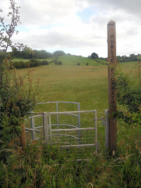
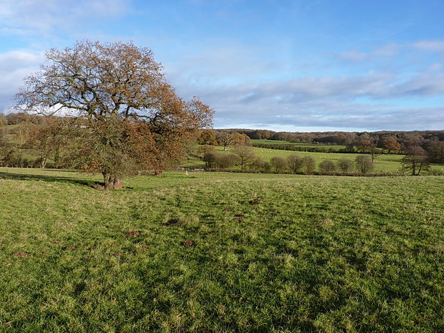
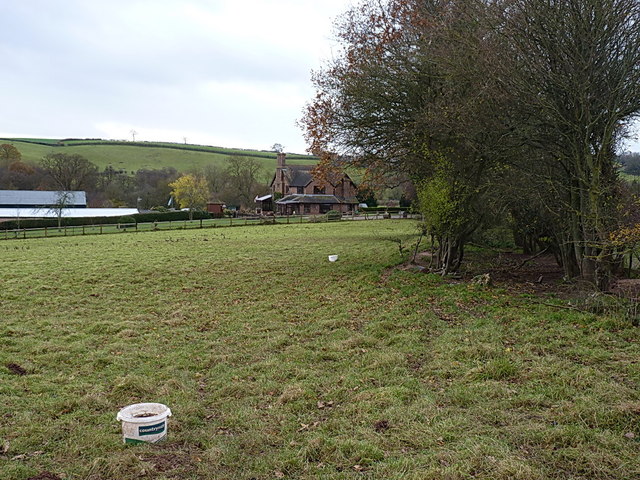
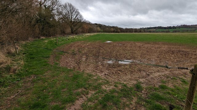
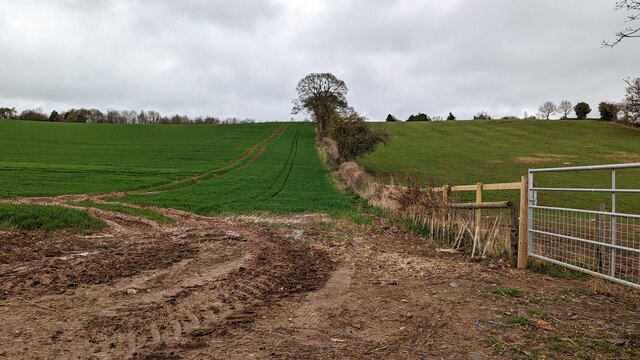
The Forest, located in Shropshire, is a large woodland area known for its natural beauty and diverse flora and fauna. Covering an extensive area, the forest is home to a variety of tree species, including oak, beech, and pine, creating a picturesque landscape that changes with the seasons.

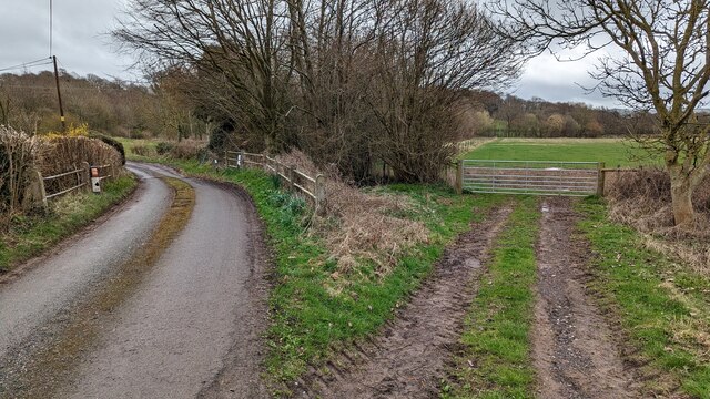
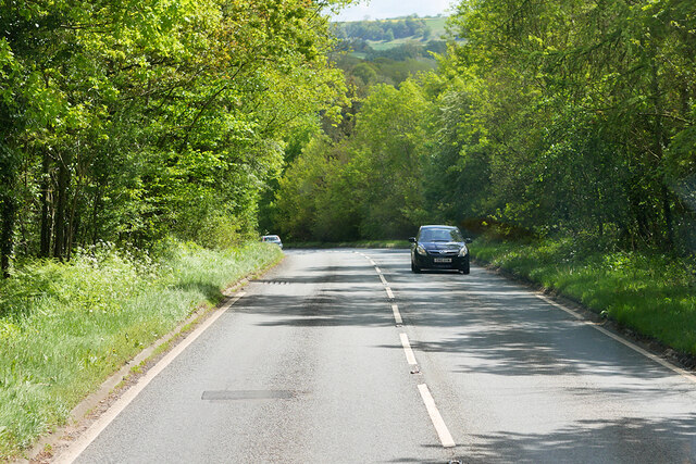
The Forest offers numerous walking trails and paths, making it a popular destination for hikers, nature enthusiasts, and families looking to explore the great outdoors. The well-maintained trails cater to different levels of fitness, ensuring that visitors of all abilities can enjoy the forest at their own pace.

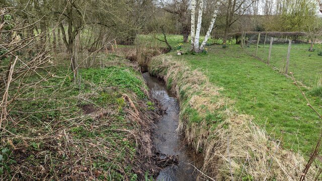
In addition to its scenic beauty, The Forest is also a haven for wildlife. Visitors may encounter a wide range of animals, including deer, foxes, rabbits, and an array of bird species. Nature lovers can immerse themselves in the peaceful surroundings, observing and appreciating the natural habitats and biodiversity.

The forest is equipped with various facilities to enhance visitors' experience, such as picnic areas, benches, and information boards providing details about the local flora and fauna. Additionally, there are designated camping areas for those looking to spend a night under the stars.

Overall, The Forest in Shropshire offers a tranquil escape from the hustle and bustle of everyday life. With its stunning scenery, well-maintained trails, and abundant wildlife, it is a destination that appeals to nature enthusiasts, outdoor adventurers, and anyone seeking a peaceful retreat in a beautiful natural setting.

If you have any feedback on the listing, please let us know in the comments section below.
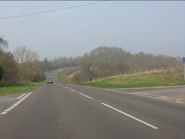
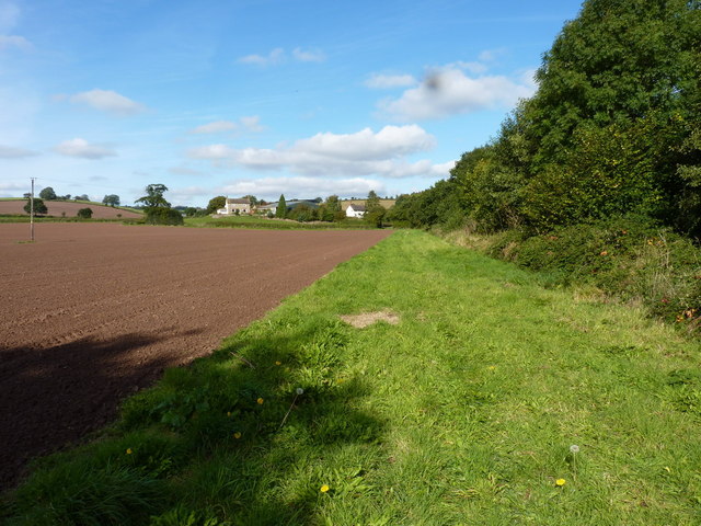
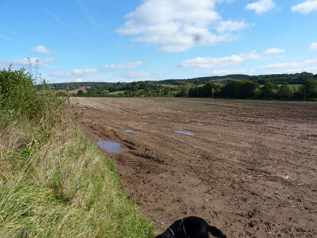
The Forest Images

Images are sourced within 2km of 52.556321/-2.5440875 or Grid Reference SO6395. Thanks to Geograph Open Source API. All images are credited.

Kissing gate and an invisible footpath
A458 nearing Muckley Cross
Muckley Cross Farm
Muckley Cross Farm
A458 north of Muckley Cross
A458 near Watkis Coppice
Crossroads on the A458 near Beggarhill Brook Farm
Not as muddy as you might have thought At least, this bit wasn't as muddy as suspected in <a href="https://www.geograph.org.uk/photo/774802">SO6396 : That looks like a muddy path</a> - but the next section south looked like a quagmire, so we turned around.
Not as muddy as you might have thought
At least, this bit wasn't as muddy as suspected in SO6396 : That looks like a muddy path - but the next section south looked like a quagmire, so we turned around.
Muddy field near Atterley
Manor House, Acton Round Dating from 1713-14, built for Sir Whitmore Acton, probably to the designs of Francis Smith of Warwick. The pinkish-red brick facade is divided into a 2-3-2 rhythm by giant rusticated pilaster strips. Grade I listed.
-----------------------------------------------------------------------------
In the C18th architectural hierarchy, Smith (1672-1738) lay somewhere between the London elite and the breed of skilled, provincial builder-architects who created substantial parts of the built fabric of the country that we see today. It's likely that brick dust ran in his veins - his father, also Francis, and his brother, William, were bricklayers, his elder brother Richard was also in the trade, and Francis's son, William, inherited his practice. Centred around Warwick, Francis built up a substantial practice, designing numerous country houses for the Midlands gentry, covering every county in the region except Nottinghamshire, as well as churches and the odd public building. After the catastrophic fire of 1694 in Warwick, he and William were contracted to supervise rebuilding and rebuilt parts of the town themselves. Francis assembled a small band of talented craftsmen to whom he returned time and time again. Whilst not particularly innovative, his commissions were secured on the back of building attractive houses to high standards of craftsmanship, his trustworthiness and reliability. Two members of the London elite, James Gibbs and Thomas Archer, entrusted Francis to execute several of their designs, and it seems likely that in at least one of these cases he modified the building to his own designs.
Manor House, Acton Round
Dating from 1713-14, built for Sir Whitmore Acton, probably to the designs of Francis Smith of Warwick. The pinkish-red brick facade is divided into a 2-3-2 rhythm by giant rusticated pilaster strips. Grade I listed. ----------------------------------------------------------------------------- In the C18th architectural hierarchy, Smith (1672-1738) lay somewhere between the London elite and the breed of skilled, provincial builder-architects who created substantial parts of the built fabric of the country that we see today. It's likely that brick dust ran in his veins - his father, also Francis, and his brother, William, were bricklayers, his elder brother Richard was also in the trade, and Francis's son, William, inherited his practice. Centred around Warwick, Francis built up a substantial practice, designing numerous country houses for the Midlands gentry, covering every county in the region except Nottinghamshire, as well as churches and the odd public building. After the catastrophic fire of 1694 in Warwick, he and William were contracted to supervise rebuilding and rebuilt parts of the town themselves. Francis assembled a small band of talented craftsmen to whom he returned time and time again. Whilst not particularly innovative, his commissions were secured on the back of building attractive houses to high standards of craftsmanship, his trustworthiness and reliability. Two members of the London elite, James Gibbs and Thomas Archer, entrusted Francis to execute several of their designs, and it seems likely that in at least one of these cases he modified the building to his own designs.
Acton Round Indian kiosk A modern folly built to disguise a water tank.
Acton Round Indian kiosk
A modern folly built to disguise a water tank.
Footpath towards Hawthorne Farm A row of old oak trees and a ditch mark the line of a former hedge, now followed by a path from Muckley Cross to Hawthorne Farm.
Footpath towards Hawthorne Farm
A row of old oak trees and a ditch mark the line of a former hedge, now followed by a path from Muckley Cross to Hawthorne Farm.
Cottage at Muckley Cross A particularly fine rural cottage and its outbuildings, just off the A458 road.
Cottage at Muckley Cross
A particularly fine rural cottage and its outbuildings, just off the A458 road.
A458 towards Much Wenlock at Muckley Cross
Lane to the left, footpath to the right
Remove strap to use footpath
Walton Brook
Walton Brook
Wheat field and recently restored hedge
A458 Southbound The A458 runs for 86 miles between Mallwyd, in the Snowdonia National Park, and Halesowen, in the suburbs of Birmingham. On the way it passes through Welshpool, Shrewsbury, Much Wenlock, Bridgnorth and Stourbridge.
<span class="nowrap"><a title="https://www.sabre-roads.org.uk/wiki/index.php?title=A458" rel="nofollow ugc noopener" href="https://www.sabre-roads.org.uk/wiki/index.php?title=A458">Link</a><img style="margin-left:2px;" alt="External link" title="External link - shift click to open in new window" src="https://s1.geograph.org.uk/img/external.png" width="10" height="10"/></span>  SABRE
A458 Southbound
The A458 runs for 86 miles between Mallwyd, in the Snowdonia National Park, and Halesowen, in the suburbs of Birmingham. On the way it passes through Welshpool, Shrewsbury, Much Wenlock, Bridgnorth and Stourbridge. LinkExternal link SABRE
Show me another place!

The Forest is located at Grid Ref: SO6395 (Lat: 52.556321, Lng: -2.5440875)

Unitary Authority: Shropshire

Police Authority: West Mercia

What 3 Words

///scratches.pavement.topmost. Near Much Wenlock, Shropshire

Related Wikis

Acton Round

Acton Round is a village and civil parish in the English county of Shropshire. Acton Round was recorded in the Domesday Book as Achetune. The civil parish...

Atterley

Atterley is a village in Shropshire, England.

Aston Eyre Hall

Aston Eyre Hall is an unfortified stone manor house at Aston Eyre near Bridgnorth in the English county of Shropshire, United Kingdom. It is a Grade II...

Aston Eyre

Aston Eyre is a hamlet and civil parish in Shropshire, England, about four miles west of Bridgnorth. The area has a significant amount of green space....

Nearby Amenities

Located within 500m of 52.556321,-2.5440875
Acton Round
Is In: Shropshire
Place: hamlet
Lat/Long: 52.5572927/-2.5384731
Turning Loop
Lat/Long: 52.5566573/-2.5383214
The data included in this document is from www.openstreetmap.org. The data is made available under ODbL.

Have you been to The Forest?

Leave your review of The Forest below (or comments, questions and feedback).