Acton Round

Civil Parish in Shropshire

England

Acton Round

Kissing gate and an invisible footpath
Kissing gate and an invisible footpath Credit: Row17

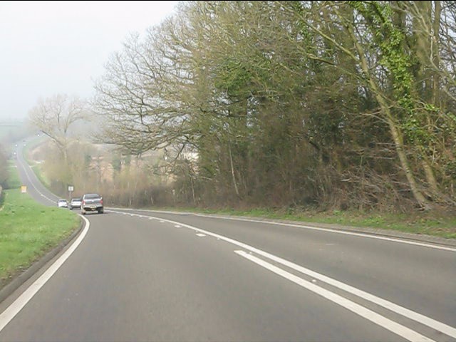
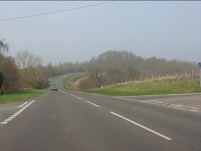
Acton Round is a civil parish located in the county of Shropshire, England. It is situated approximately 7 miles south of the town of Bridgnorth, nestled in the picturesque countryside of the county. The parish covers an area of about 6 square miles and is home to a small population.

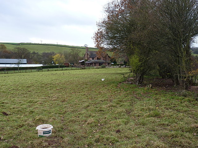
The village of Acton Round itself is known for its charming and quintessentially English appearance. It features a range of traditional, well-preserved buildings, including the Grade I listed Acton Round Hall. This historic manor house dates back to the 16th century and is an architectural gem of the area.

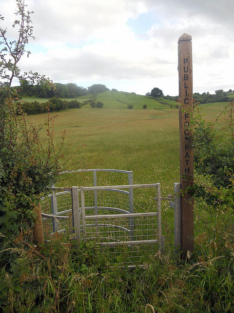
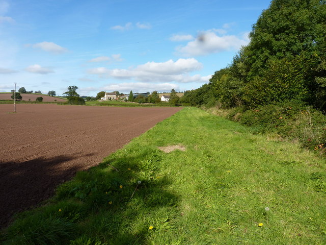
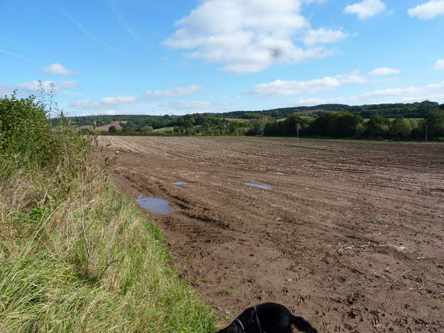
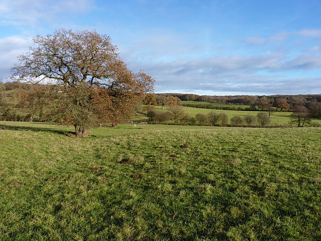
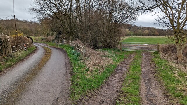
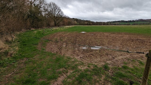
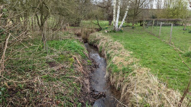
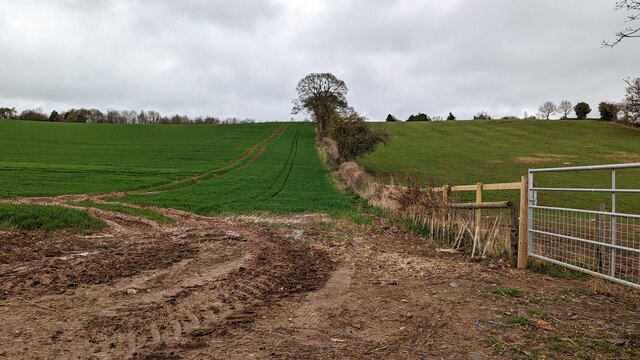
The parish is surrounded by rolling hills and lush green fields, making it an ideal location for countryside walks and outdoor activities. The Acton Round Estate, which encompasses a significant portion of the parish, adds to the natural beauty of the area. It offers opportunities for various recreational pursuits, including fishing and shooting.

Despite its small size, Acton Round has a strong sense of community and boasts a village hall that serves as a hub for social gatherings and events. The nearby village of Morville provides additional amenities such as a primary school and a church.

Acton Round's tranquil setting and historic charm make it an attractive destination for those seeking a peaceful retreat in the Shropshire countryside. Its proximity to larger towns and transport links also allows for convenient access to amenities and services beyond the parish boundaries.

If you have any feedback on the listing, please let us know in the comments section below.

Acton Round Images

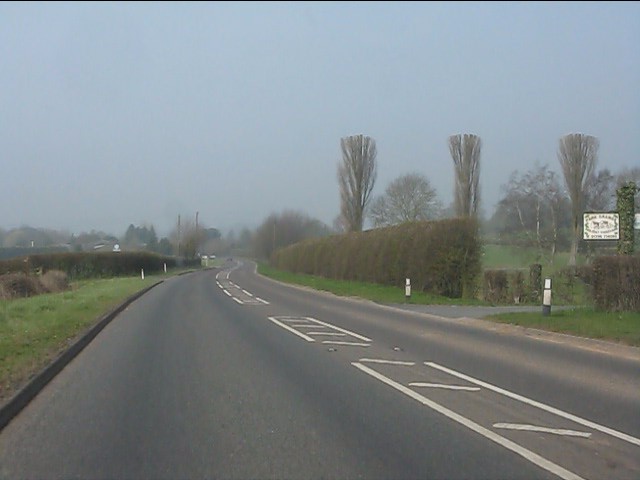
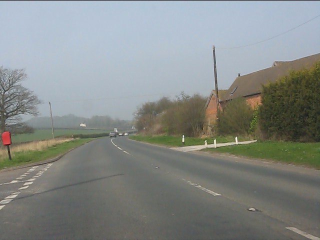
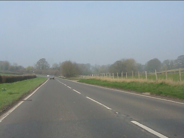
Images are sourced within 2km of 52.55569/-2.542642 or Grid Reference SO6395. Thanks to Geograph Open Source API. All images are credited.

Kissing gate and an invisible footpath
A458 near Park Farm
A458 near Park Farm
A458 nearing Muckley Cross
Muckley Cross Farm
Muckley Cross Farm
A458 north of Muckley Cross
A458 near Watkis Coppice
Crossroads on the A458 near Beggarhill Brook Farm
Not as muddy as you might have thought At least, this bit wasn't as muddy as suspected in <a href="https://www.geograph.org.uk/photo/774802">SO6396 : That looks like a muddy path</a> - but the next section south looked like a quagmire, so we turned around.
Not as muddy as you might have thought
At least, this bit wasn't as muddy as suspected in SO6396 : That looks like a muddy path - but the next section south looked like a quagmire, so we turned around.
Muddy field near Atterley
Manor House, Acton Round Dating from 1713-14, built for Sir Whitmore Acton, probably to the designs of Francis Smith of Warwick. The pinkish-red brick facade is divided into a 2-3-2 rhythm by giant rusticated pilaster strips. Grade I listed.
-----------------------------------------------------------------------------
In the C18th architectural hierarchy, Smith (1672-1738) lay somewhere between the London elite and the breed of skilled, provincial builder-architects who created substantial parts of the built fabric of the country that we see today. It's likely that brick dust ran in his veins - his father, also Francis, and his brother, William, were bricklayers, his elder brother Richard was also in the trade, and Francis's son, William, inherited his practice. Centred around Warwick, Francis built up a substantial practice, designing numerous country houses for the Midlands gentry, covering every county in the region except Nottinghamshire, as well as churches and the odd public building. After the catastrophic fire of 1694 in Warwick, he and William were contracted to supervise rebuilding and rebuilt parts of the town themselves. Francis assembled a small band of talented craftsmen to whom he returned time and time again. Whilst not particularly innovative, his commissions were secured on the back of building attractive houses to high standards of craftsmanship, his trustworthiness and reliability. Two members of the London elite, James Gibbs and Thomas Archer, entrusted Francis to execute several of their designs, and it seems likely that in at least one of these cases he modified the building to his own designs.
Manor House, Acton Round
Dating from 1713-14, built for Sir Whitmore Acton, probably to the designs of Francis Smith of Warwick. The pinkish-red brick facade is divided into a 2-3-2 rhythm by giant rusticated pilaster strips. Grade I listed. ----------------------------------------------------------------------------- In the C18th architectural hierarchy, Smith (1672-1738) lay somewhere between the London elite and the breed of skilled, provincial builder-architects who created substantial parts of the built fabric of the country that we see today. It's likely that brick dust ran in his veins - his father, also Francis, and his brother, William, were bricklayers, his elder brother Richard was also in the trade, and Francis's son, William, inherited his practice. Centred around Warwick, Francis built up a substantial practice, designing numerous country houses for the Midlands gentry, covering every county in the region except Nottinghamshire, as well as churches and the odd public building. After the catastrophic fire of 1694 in Warwick, he and William were contracted to supervise rebuilding and rebuilt parts of the town themselves. Francis assembled a small band of talented craftsmen to whom he returned time and time again. Whilst not particularly innovative, his commissions were secured on the back of building attractive houses to high standards of craftsmanship, his trustworthiness and reliability. Two members of the London elite, James Gibbs and Thomas Archer, entrusted Francis to execute several of their designs, and it seems likely that in at least one of these cases he modified the building to his own designs.
Acton Round Indian kiosk A modern folly built to disguise a water tank.
Acton Round Indian kiosk
A modern folly built to disguise a water tank.
Footpath towards Hawthorne Farm A row of old oak trees and a ditch mark the line of a former hedge, now followed by a path from Muckley Cross to Hawthorne Farm.
Footpath towards Hawthorne Farm
A row of old oak trees and a ditch mark the line of a former hedge, now followed by a path from Muckley Cross to Hawthorne Farm.
Cottage at Muckley Cross A particularly fine rural cottage and its outbuildings, just off the A458 road.
Cottage at Muckley Cross
A particularly fine rural cottage and its outbuildings, just off the A458 road.
A458 towards Much Wenlock at Muckley Cross
Lane to the left, footpath to the right
Remove strap to use footpath
Walton Brook
Walton Brook
Wheat field and recently restored hedge
Show me another place!

Acton Round is located at Grid Ref: SO6395 (Lat: 52.55569, Lng: -2.542642)

Unitary Authority: Shropshire

Police Authority: West Mercia

What 3 Words

///drizzly.petted.panther. Near Much Wenlock, Shropshire

Related Wikis

Acton Round

Acton Round is a village and civil parish in the English county of Shropshire. Acton Round was recorded in the Domesday Book as Achetune. The civil parish...

Atterley

Atterley is a village in Shropshire, England.

Aston Eyre Hall

Aston Eyre Hall is an unfortified stone manor house at Aston Eyre near Bridgnorth in the English county of Shropshire, United Kingdom. It is a Grade II...

Aston Eyre

Aston Eyre is a hamlet and civil parish in Shropshire, England, about four miles west of Bridgnorth. The area has a significant amount of green space....

Monkhopton

Monkhopton is a village and civil parish in Shropshire, England. It is 6.5 miles south of Much Wenlock. There is an Anglican church: Its co-ordinates are...

Aldenham Park, Morville

Aldenham Park, also known as Aldenham Hall, is a late 17th-century country house in Morville, near Bridgnorth, Shropshire, England which stands in 12 hectares...

St Michael's Church, Upton Cressett

St Michael's Church, Upton Cressett, is a redundant Anglican church. It stands on a remote hillside adjacent to Upton Cressett Hall, some 5 km west of...

Upton Cressett Hall

Upton Cressett Hall is an Elizabethan moated manor house in the village of Upton Cressett, Shropshire, England. It is a Grade I-listed building.The hall...

Related Videos

Monkhall Fishery bank holiday teams of five match 27th may 2019

The first Monkhall fishery bank holiday teams of 5 fishing match 27/05/2019 We entered as the Fishomanics . There were 10 ...

Nearby Amenities

Located within 500m of 52.55569,-2.542642
Acton Round
Is In: Shropshire
Place: hamlet
Lat/Long: 52.5572927/-2.5384731
Turning Loop
Lat/Long: 52.5566573/-2.5383214
Artwork Type: installation
Description: Folly
Tourism: artwork
Lat/Long: 52.556591/-2.5365723
The data included in this document is from www.openstreetmap.org. The data is made available under ODbL.

Have you been to Acton Round?

Leave your review of Acton Round below (or comments, questions and feedback).